Black Friday Sale now on: up to 30% off until Monday 30 November →
Orders placed from 15 to 30 November ship from 1 December, in time for Christmas. Our shipping partner: InXpress.
Antique Sea Charts

1700 to 1789: Age of discovery

Sea charts and maritime prints printed between 1700 and 1789, the age of discovery. Every one a period original.

210 pieces
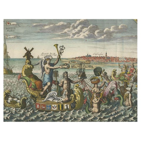
Antique Satirical Print showing Mermaids about the Port of Enkhuizen, circa 1720
Antique Satirical Print showing Mermaids about the Port of Enkhuizen, circa 1720

1720£460
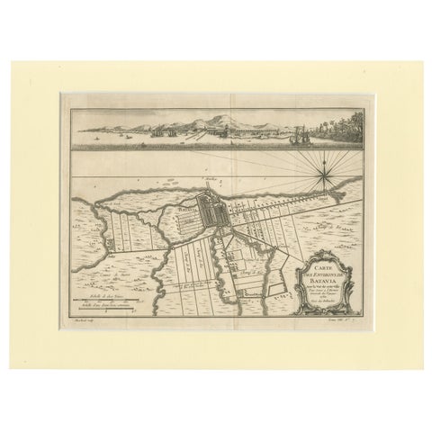
Old Engraving of Batavia 'Jakarta, Indonesia' with Map and Harbour View, 1750
Old Engraving of Batavia 'Jakarta, Indonesia' with Map and Harbour View, 1750

1750£460£32030% off
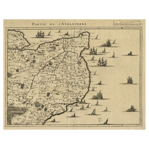
Uncommon Antique Map of the English Channel Coastline, ca.1709
Uncommon Antique Map of the English Channel Coastline, ca.1709

1709£450£31530% off
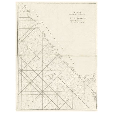
Sea Chart of Part of the Southwestern Coast of Sumatra & Nias, Indonesia, C1775
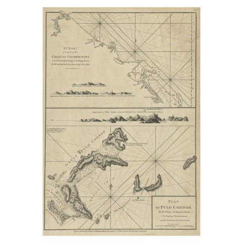
Sea Chart of Part of the Southwestern Coast of Sumatra & Nias, Indonesia, C1775

1775£450
Chart of the Coast of Cochinchina' and 'Plan of Pulo Condor', Vietnam, 1778
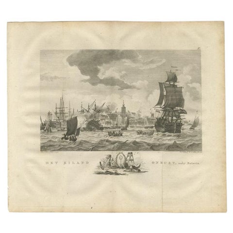
Chart of the Coast of Cochinchina' and 'Plan of Pulo Condor', Vietnam, 1778

1778£450£31530% off
Antique Print of Ships Near Onrust Island Near Jakarta, Indonesia, 1779
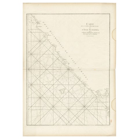
Antique Print of Ships Near Onrust Island Near Jakarta, Indonesia, 1779

1779£450£31530% off
Antique Sea Chart of the Coast of Sumatra, Indonesia, circa 1775
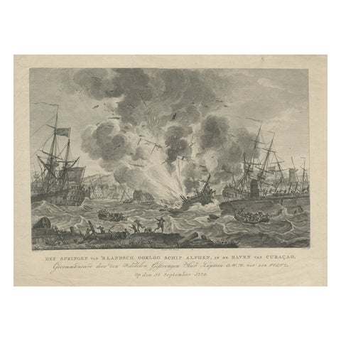
Antique Sea Chart of the Coast of Sumatra, Indonesia, circa 1775

1775£450
Antique Print of the Exploding of the 'Alphen' in the Harbour of Curacao, 1779
Antique Print of the Exploding of the 'Alphen' in the Harbour of Curacao, 1779

1779£435
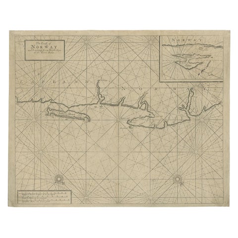
Old Sea Chart of Northern Norway, also depicting Part of Lapland & Russia, 1702
Old Sea Chart of Northern Norway, also depicting Part of Lapland & Russia, 1702

1702£410£28530% off
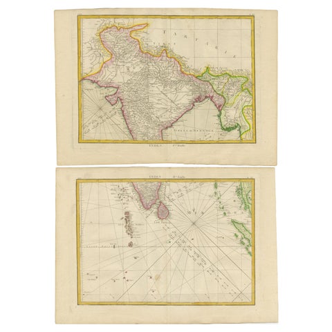
Charting the Course of Empire: Bonne's 1770 Masterpiece Maps of the Indian Ocean
Charting the Course of Empire: Bonne's 1770 Masterpiece Maps of the Indian Ocean

1770£410£28530% off
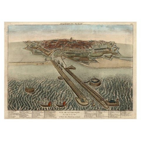
Spectacular 1770 Bird's-Eye View of Dunkirk Harbor by Basset, with 66 Landmarks
Spectacular 1770 Bird's-Eye View of Dunkirk Harbor by Basset, with 66 Landmarks

1770£410£28530% off
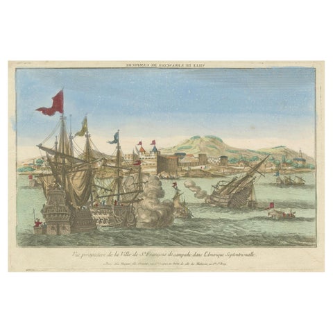
Naval Battle Off St. François (Campeche, Mexico), ca. 1780
Naval Battle Off St. François (Campeche, Mexico), ca. 1780

1780£410£28530% off
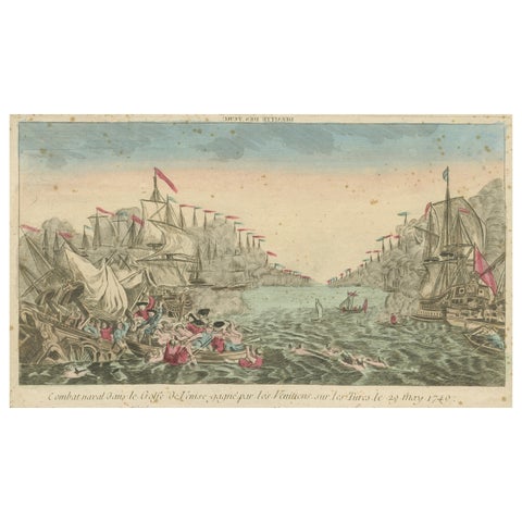
Venetian Naval Battle Print, Rare Optical Vue of Venice versus Turks, c.1770
Venetian Naval Battle Print, Rare Optical Vue of Venice versus Turks, c.1770

1770£410£28530% off
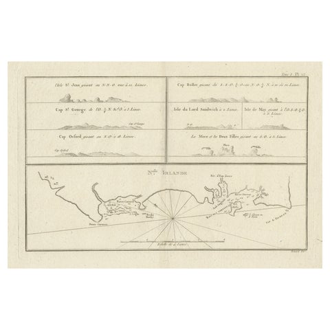
Antique Map of New Ireland (Pacific) with Coastal Profiles, Cook Voyages, 1774
Antique Map of New Ireland (Pacific) with Coastal Profiles, Cook Voyages, 1774

1774£400£28030% off
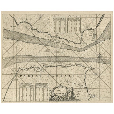
Antique Map of the Straits of Gibraltar by J. Gascoyne, circa 1716
Antique Map of the Straits of Gibraltar by J. Gascoyne, circa 1716

1716£395£30025% off
Antique Sea Chart by J. B. d'Apres de Mannevillette, Sumatra, 1780
Antique Sea Chart by J. B. d'Apres de Mannevillette, Sumatra, 1780

1780£395£27530% off
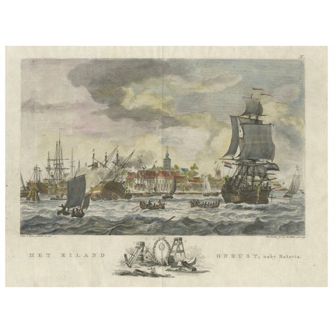
1779 View of Onrust Island Near Batavia with VOC Shipyard Activity
1779 View of Onrust Island Near Batavia with VOC Shipyard Activity

1779£395£27530% off
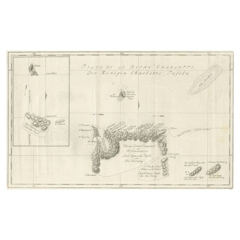
Original Antique Chart of the Santa Cruz Islands, 1774
Original Antique Chart of the Santa Cruz Islands, 1774

1774£385£27030% off
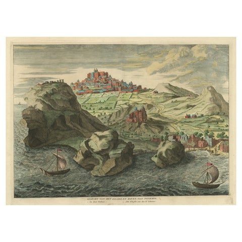
Old Engraving the City and Harbour of Pathmos, Patmos or Patimo in Greece, 1725
Old Engraving the City and Harbour of Pathmos, Patmos or Patimo in Greece, 1725

1725£385£27030% off
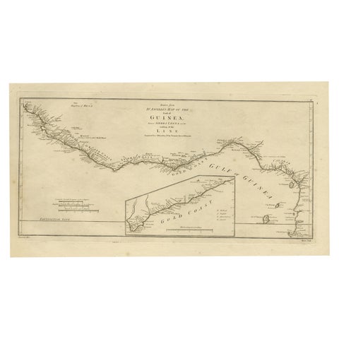
Map of the African Coast, Gulf of Guinea, from Sierra Leone to Gabon, 1788
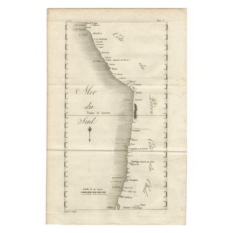
Map of the African Coast, Gulf of Guinea, from Sierra Leone to Gabon, 1788

1788£385£27030% off
Antique Map of the Coast of Peru and Chile, Detailing Ports & Coastlines, c1760
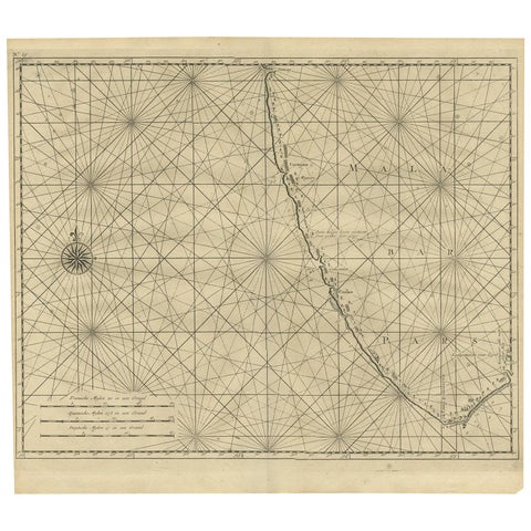
Antique Map of the Coast of Peru and Chile, Detailing Ports & Coastlines, c1760

1760£385£27030% off
Antique Map of Malabar Coast by Valentijn, 1726
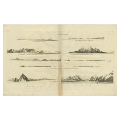
Antique Map of Malabar Coast by Valentijn, 1726

1726£375£26530% off
Antique Map of the West Coast of America with Island Views, ca.1784
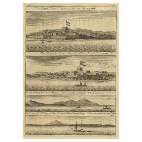
Antique Map of the West Coast of America with Island Views, ca.1784

1784£375£26530% off
Rare Engraving of Dutch and Danish Forts on the West African Gold Coast, 1744
Rare Engraving of Dutch and Danish Forts on the West African Gold Coast, 1744

1744£375£26530% off
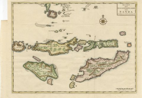
Hand-Colored Chart of Timor, Solor and the Southwest Banda Islands, 1726
Hand-Colored Chart of Timor, Solor and the Southwest Banda Islands, 1726

1724-1726£370£26030% off
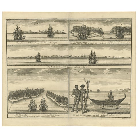
VOC Ships, Native People & Coastal Views of Islands near Papua New Guinea, 1726
VOC Ships, Native People & Coastal Views of Islands near Papua New Guinea, 1726

1726£370£26030% off
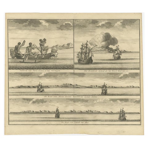
Old Print of VOC Ships & Native Fisherman and Coastal Views of New Guinea, 1726
Old Print of VOC Ships & Native Fisherman and Coastal Views of New Guinea, 1726

1726£370£26030% off
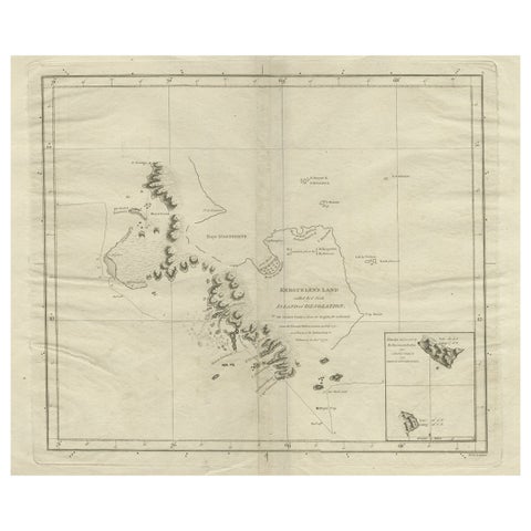
Antique Map of Kerguelens Island Coast in the Indian Ocean by Cook, 1785
Antique Map of Kerguelens Island Coast in the Indian Ocean by Cook, 1785

1785£370£26030% off
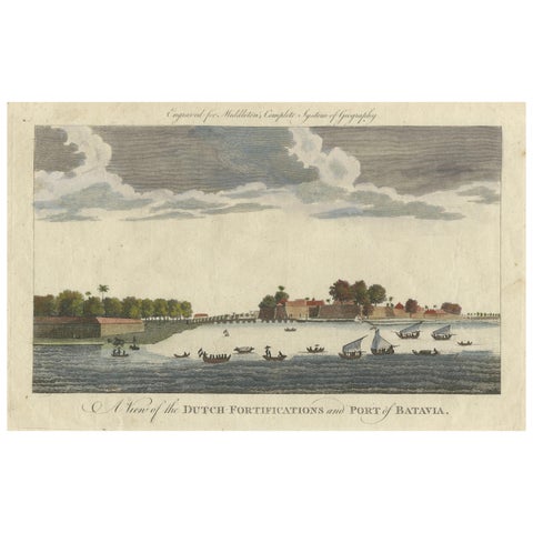
1778 View of the Dutch Fortifications and Port of Batavia, Now Jakarta
1778 View of the Dutch Fortifications and Port of Batavia, Now Jakarta

1778£370£26030% off
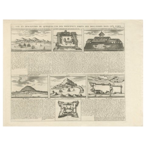
Antique Dutch East Indies Forts Engraving, VOC Batavia, Ambon & Banda, c.1719
Antique Dutch East Indies Forts Engraving, VOC Batavia, Ambon & Banda, c.1719

1719£370£26030% off
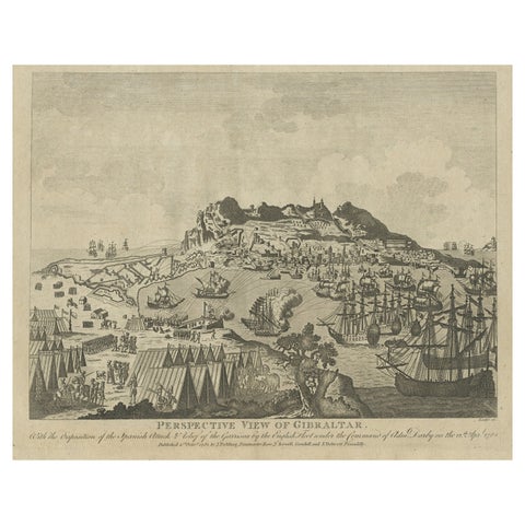
Antique Print of Gibraltar Showing the Spanish and English Fleet, 1782
Antique Print of Gibraltar Showing the Spanish and English Fleet, 1782

1782£360£25030% off
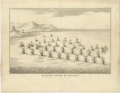
Classical Warfare & Naval Battles, Set of 5 Antique Engravings, France c.1720
Classical Warfare & Naval Battles, Set of 5 Antique Engravings, France c.1720

1720£350£24530% off
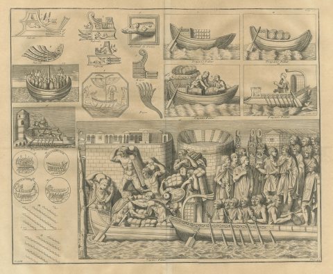
Roman Ships, Prows, Coins and a Loading Scene from Trajan's Column, 1722
Roman Ships, Prows, Coins and a Loading Scene from Trajan's Column, 1722

1722£350£26025% off
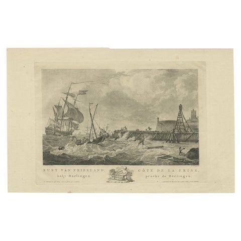
Antique Print of the Coast of Harlingen, Harbour in Friesland, circa 1780
Antique Print of the Coast of Harlingen, Harbour in Friesland, circa 1780

1780£345£27520% off
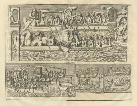
Oared Galleys and Horse Transports from Trajan's Column, 1722
Oared Galleys and Horse Transports from Trajan's Column, 1722

1722£340£25525% off
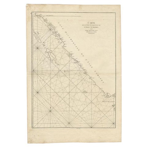
Antique Map of the South-Western Coast of Sumatra by De la Haye, c.1780
Antique Map of the South-Western Coast of Sumatra by De la Haye, c.1780

1780£340£25525% off
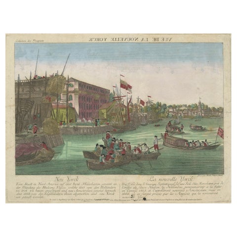
Optical View of New York City Manhattan Harbor Hand-Colored Augsburg, ca.1775
Optical View of New York City Manhattan Harbor Hand-Colored Augsburg, ca.1775

1775£330£25025% off
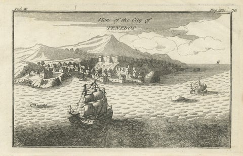
Antique St Eustatius Caribbean View, Ships Harbor, Tournefort 1717
Antique St Eustatius Caribbean View, Ships Harbor, Tournefort 1717

1717£330£25025% off
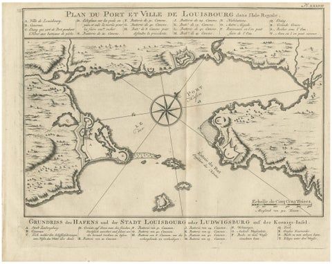
Plan of Louisbourg Harbor and Fortress, Cape Breton Island, c.1756
Plan of Louisbourg Harbor and Fortress, Cape Breton Island, c.1756

1756£330£25025% off
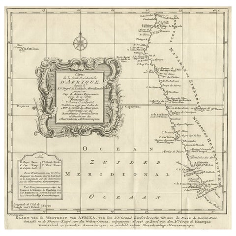
Dutch Antique Map of the West Coast of Africa, to the Cape of Good Hope, 1747
Dutch Antique Map of the West Coast of Africa, to the Cape of Good Hope, 1747

1747£325£23030% off
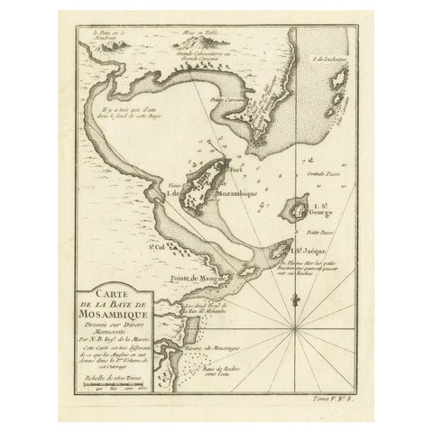
Mozambique Bay, French Naval Sea Chart by Bellin, c.1765
Mozambique Bay, French Naval Sea Chart by Bellin, c.1765

1765£320£24025% off
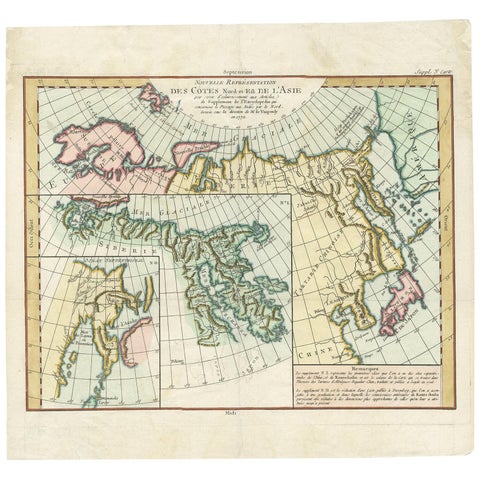
Antique Map of the North and East Coast of Asia by Vaugondy, circa 1750
Antique Map of the North and East Coast of Asia by Vaugondy, circa 1750

1750£320£22530% off
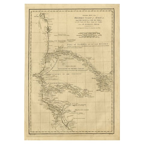
Map of the West African coast from the North of Mauretania to Guinee, 1788
Map of the West African coast from the North of Mauretania to Guinee, 1788

1788£320£22530% off
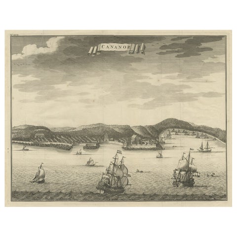
Antique Print of Kannur or Cananore with Ships, in Kerala, India, 1726
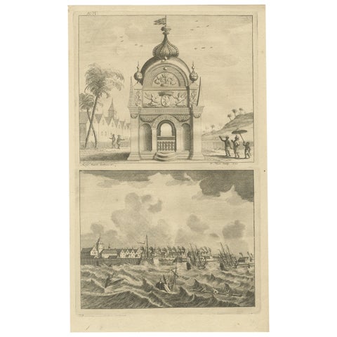
Antique Print of Kannur or Cananore with Ships, in Kerala, India, 1726

1726£320£22530% off
Antique Print of the Coromandel Coast in India, 1726
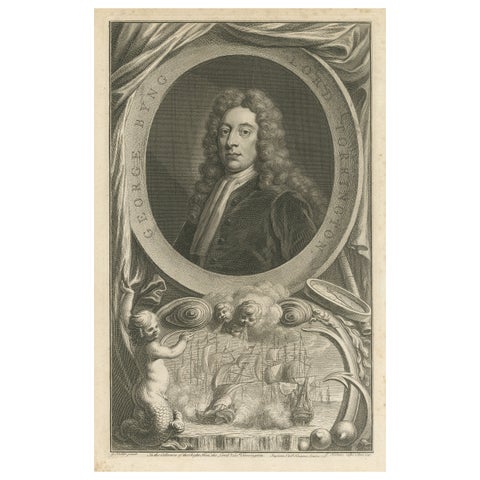
Antique Print of the Coromandel Coast in India, 1726

1726£320£22530% off
Antique Portrait of Fleet Admiral of George Byng, 1st Viscount Torrington, 1750
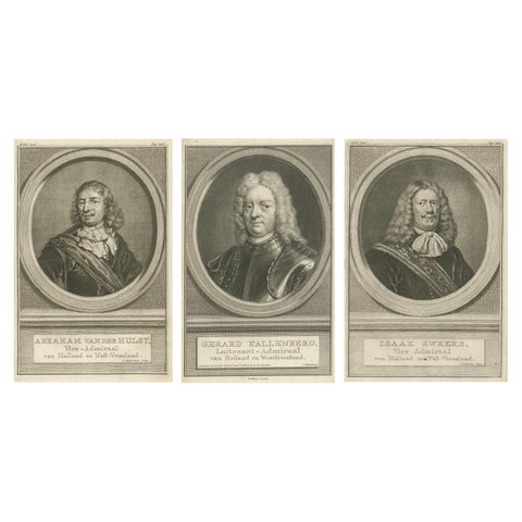
Antique Portrait of Fleet Admiral of George Byng, 1st Viscount Torrington, 1750

1750£320£22530% off
Set of Three Dutch Naval Portraits, Van der Hulst, Kallenberg & Sweers, c.1700
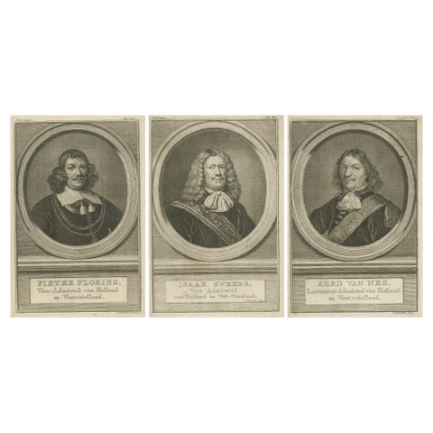
Set of Three Dutch Naval Portraits, Van der Hulst, Kallenberg & Sweers, c.1700

1700£320£22530% off
Dutch Naval Leaders, Florisz, Sweers, and Van Nes, c.1750 Copper Engravings

Dutch Naval Leaders, Florisz, Sweers, and Van Nes, c.1750 Copper Engravings

1750£320£22530% off

Your favorites

Saved in this browser. Email the list to yourself to keep it on any device.

We use your email to send this list and, only if you tick the box and confirm, for occasional new arrivals. Every email has an unsubscribe link. Bartele Gallery, the Netherlands.

Powered by SiteKeys