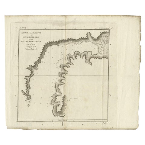
1700 to 1789: Age of discovery
Sea charts and maritime prints printed between 1700 and 1789, the age of discovery. Every one a period original.
204 pieces
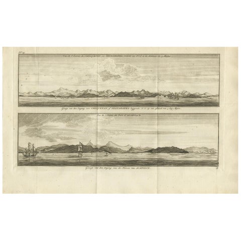
Antique Print of Zihuatanejo and the Harbour of Acapulco by Anson '1749'
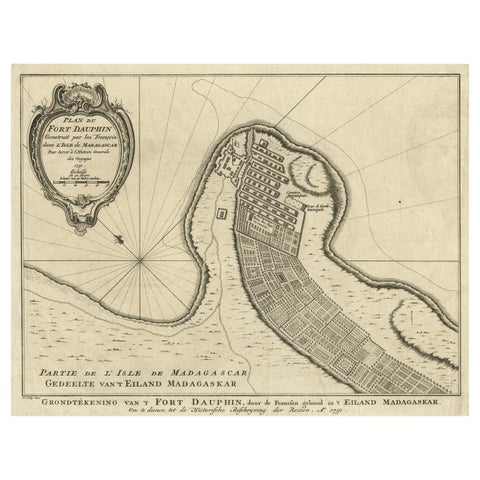
Antique Plan of Fort Dauphin on Madagascar of the East Coast of Africa, 1756
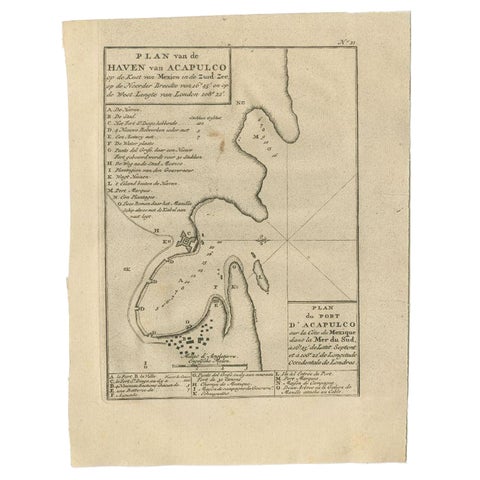
Antique Map of the Port of Acapulco in Mexico, 1749
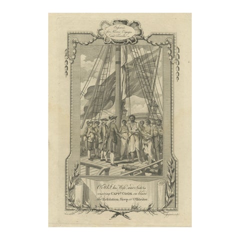
1778 Engraving: Captain Cook's Second Voyage, Meeting the Tahitians
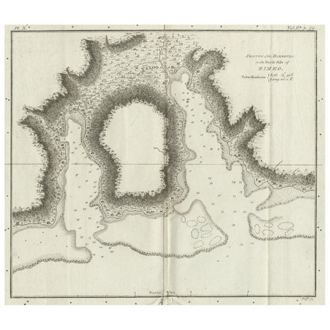
Antique Plan of the Harbour of Taloo by Cook, c.1781
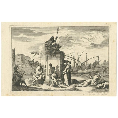
Antique Untitled Harbour View 'I' by J. Wolff, circa 1730
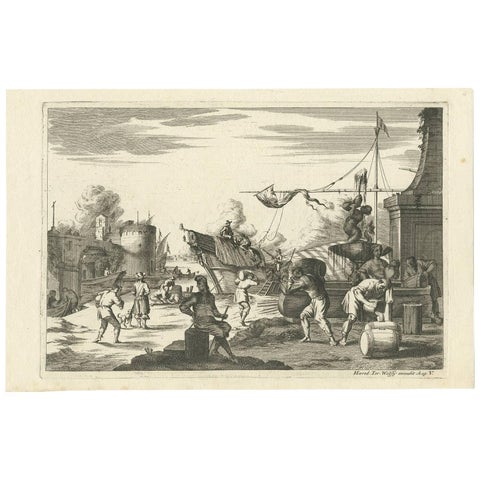
Antique Untitled Harbour View (ii) by J. Wolff, circa 1730
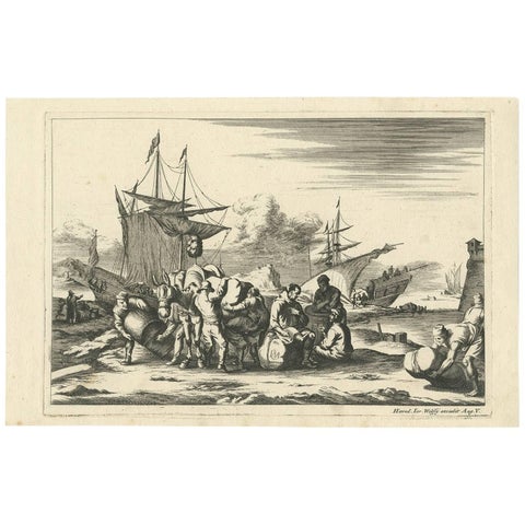
Antique Untitled Harbour View (III) by J. Wolff 'circa 1730'
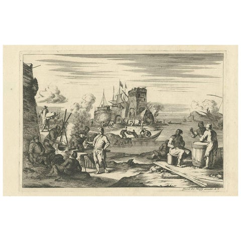
Antique Untitled Harbour View 'IV' by J. Wolff, circa 1730
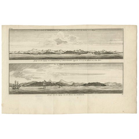
Antique Print of Zihuatanejo and the harbour of Acapulco by Anson (c.1760)
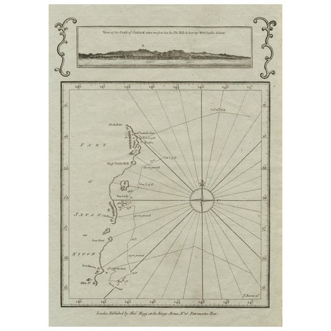
Old Map of the East Coast of Honshu with an Inset, Japan, c.1785
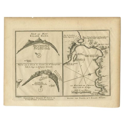
Antique Map of St. Jago, St Mayo and Praya Harbour, Mauritania, Africa, c.1750
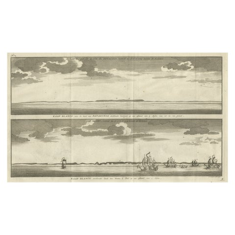
Antique Print with Views of Cape Blanco on the Patagonia / Argentina Coast, 1749
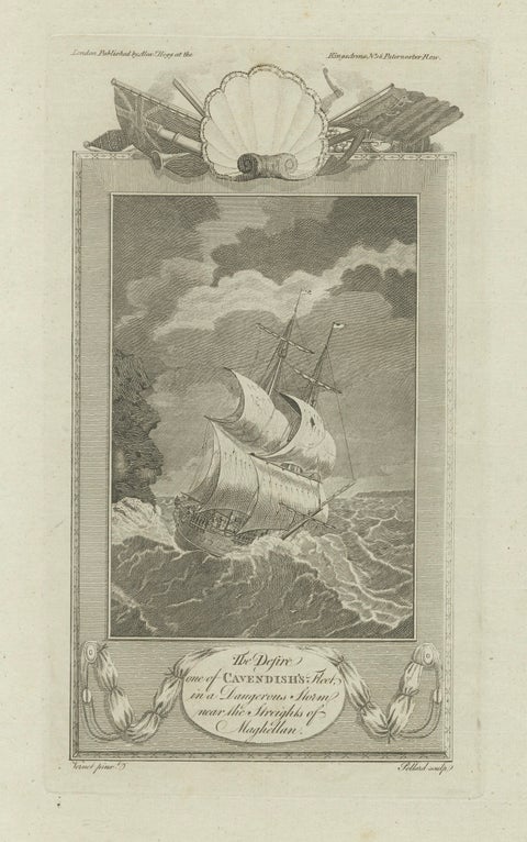
Cavendish’s Ship Desire in Storm near the Strait of Magellan, 18th Century
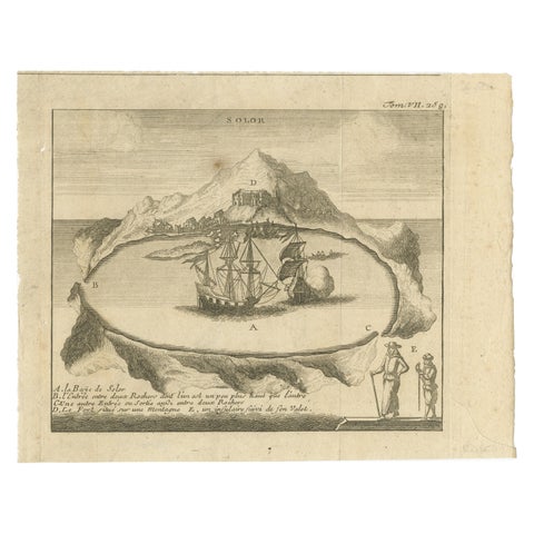
Solor Island View, Indonesian Harbor Engraving, French Voyage Plate c.1700
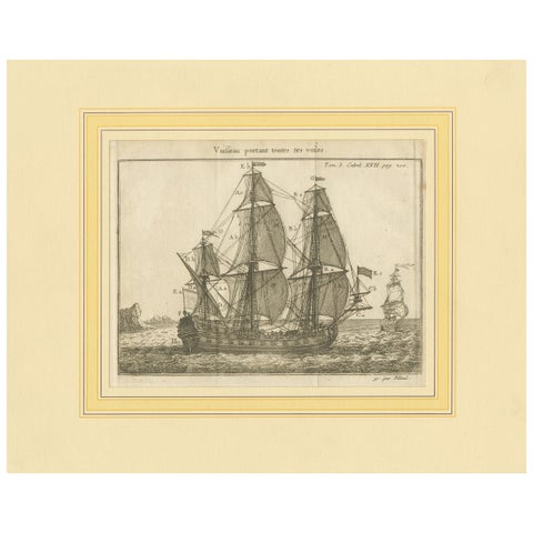
Antique Print of a Vessel with All the Sails by Pluche '1735'
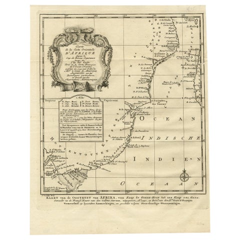
Original Detailed Antique Map of the East Coast of Africa, 1747
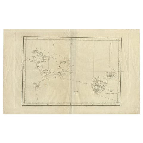
Antique Chart of the Friendly Islands or Tonga in the Pacific Ocean, 1785
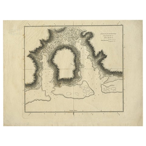
Antique Plan of the Harbour of Taloo by Cook, 1784
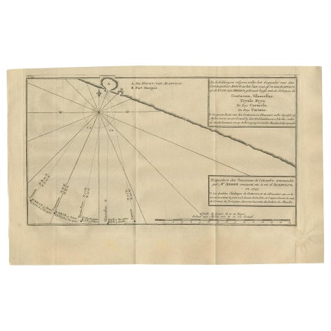
Antique Map of the Coast of Acapulco by Anson, 1749
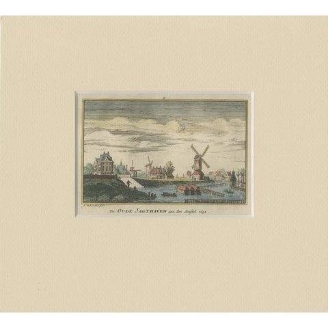
Antique Print of a Harbor Near the Amstel River in Amsterdam, c.1730
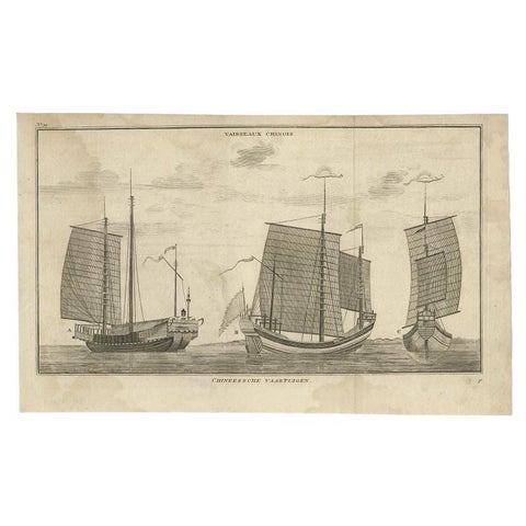
Antique Print of Chinese Vessels by Anson, '1749'
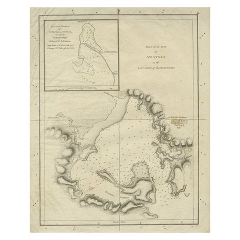
Old Map of Awatska Bay on the Coast of Kamchatka Peninsula, Russia by Cook, 1784
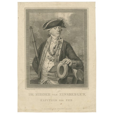
Antique Naval Portrait, Jan Hendrik van Kinsbergen, Dutch Sea Captain, c.1785
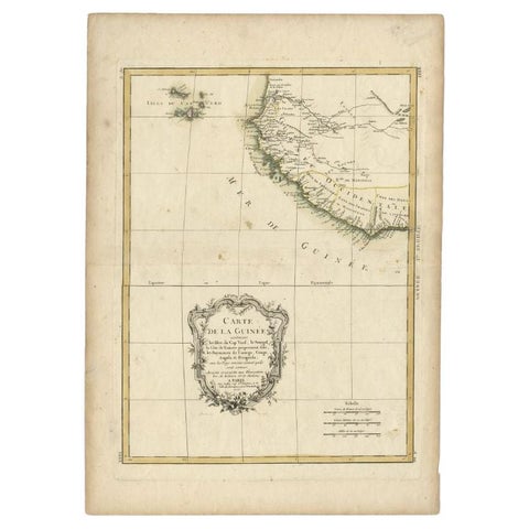
Antique Map of the West Coast of Africa, 1771
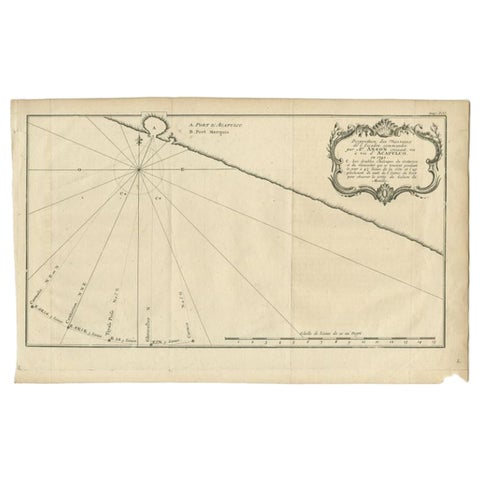
Antique Map of the Coast of Acapulco by Anson, c.1740
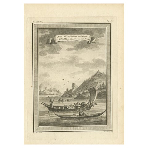
Antique Print of a Woman's Boat Know as Imiak and a Kayak for Men, 1770
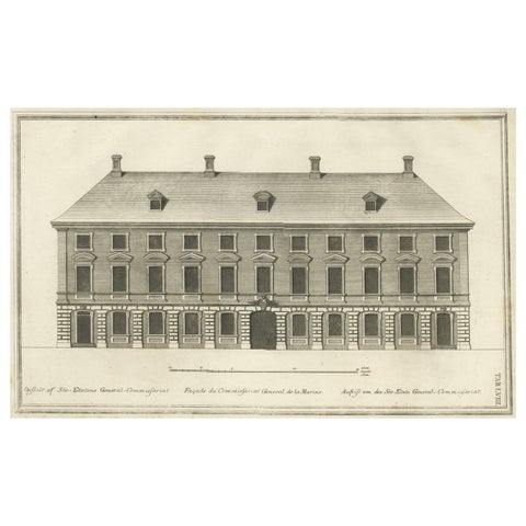
Antique Print of a Maritime Building in Copenhagen in Denmark, 1746
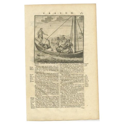
Old Print of Figures in a Boat Holding a Kris, Daggers and Ax in Asia, 1726
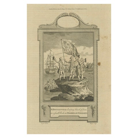
Bougainville's Claim in the Magellan Straits, circa 1767
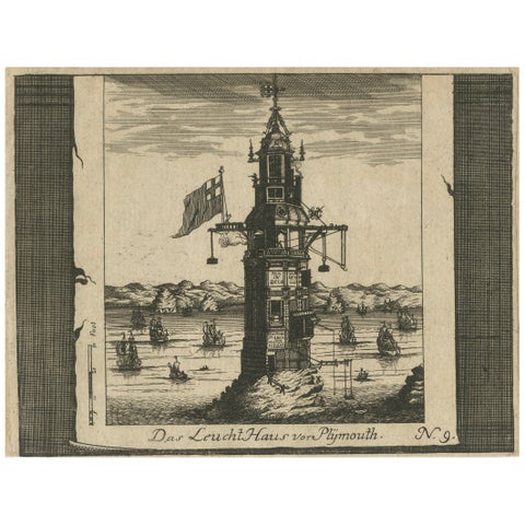
Lighthouse at Plymouth, Engraving by Pieter van der Aa, Leiden 1707
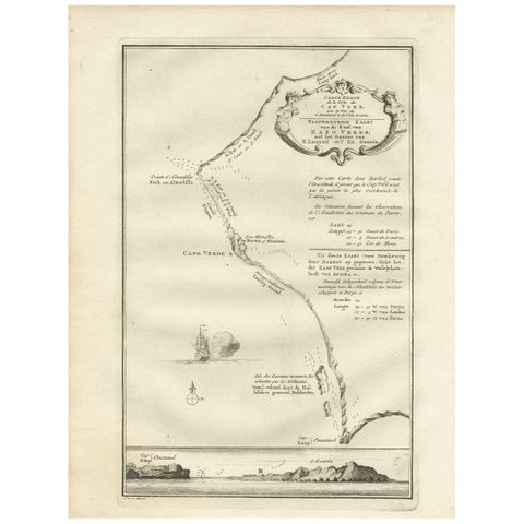
Antique Map of the Coast of Cape Verde by J. Van Der Schley, circa 1750
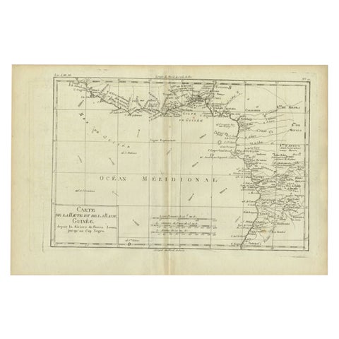
Antique Map of the Coast of Guinea, Africa, c.1780
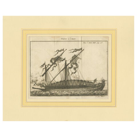
Antique Print of an Anchored Ship by Pluche '1735'
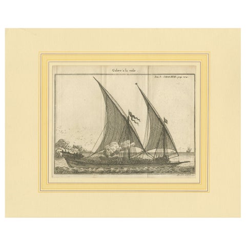
Antique Print of a Sailing Galley by Pluche '1735'
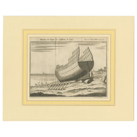
Antique Print of a Ship Launching by Pluche '1735'
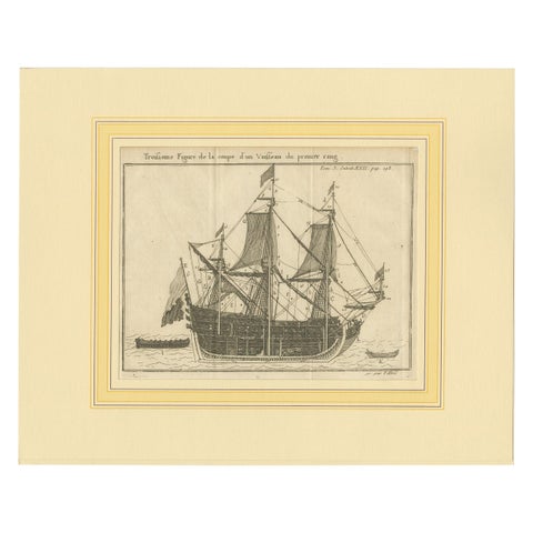
Antique Print of a Vessel Cross Section by Pluche '1735'
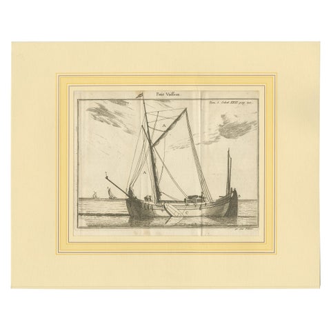
Antique Print of a Small Vessel by Pluche '1735'
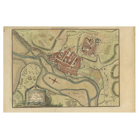
Antique Plan of the Town and Harbour of Boulogne-sur-Mer by Barrow 'c.1760'
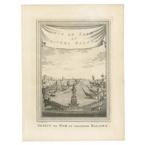
Antique Print of Siam and Various Vessels by Van Schley 'c.1750'
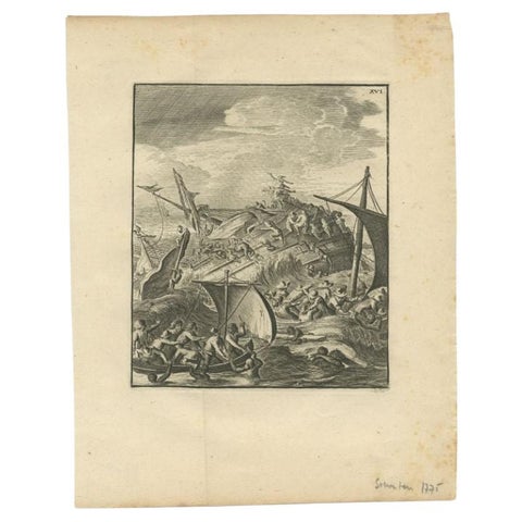
Antique Print of a Shipwreck Near Arrakan in India, 1775
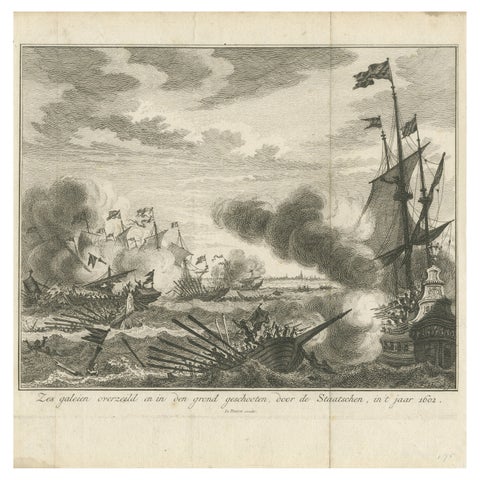
Six Galleys Sunk by the Dutch Fleet in 1602: A Dramatic Naval Victory, ca. 1750
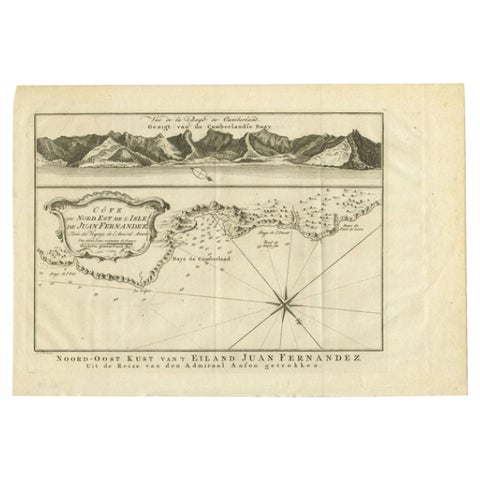
Antique Map of the Coast of Juan Fernandez by Van Schley, 1757
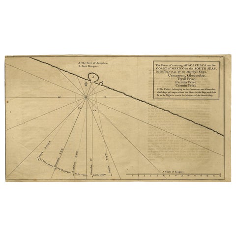
Navigational Chart of Mexico's Coast, with Acapulco and Port Marquis, 1748
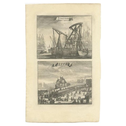
Antique Print of Ship Cranes and a Bridge in Amsterdam, circa 1730
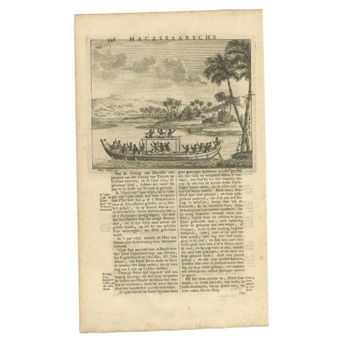
Antique Print of a Boat Near Macassar 'Nowadays Ujung Padang', Indonesia, 1726
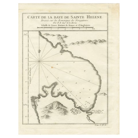
Bay of Saint Helena: French Naval Chart by N.B. Ingénieur de la Marine, ca.1770