1790 to 1849: Age of sail
Sea charts and maritime prints printed between 1790 and 1849, the age of sail. Every one a period original.
43 pieces
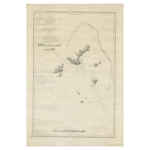
Large Chart of the Gambier Islands, Tuamotu Archipelago, French Polynesia, 1838
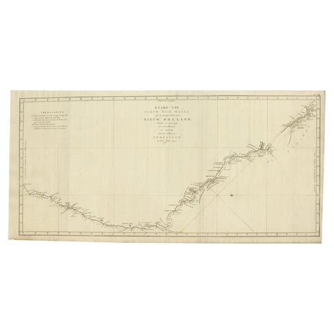
Old Map of Cook's Discovery and Charting of the East Coast of Australia, 1803
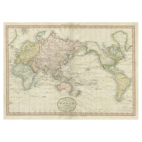
Attractive Antique Map of the World as Planisphere, Shows Cook's Voyages, 1799
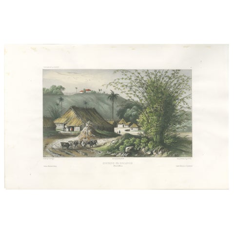
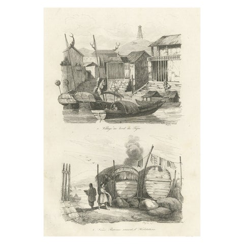
Singapore Environs View, French Exploration Lithograph, La Bonite Voyage, 1845
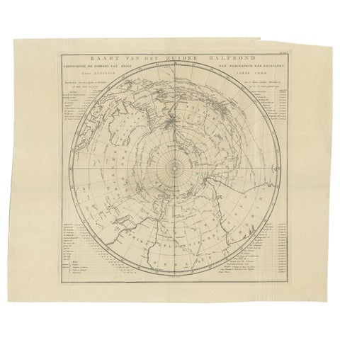
Antique Chart of the Southern Pole, Showing Three Routes of Captain Cook, 1803
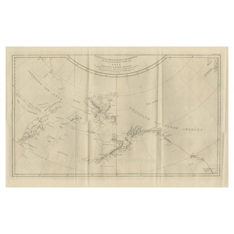
Old Map Showing the Tracks of Cook Between North America and Asia's Coast, 1803
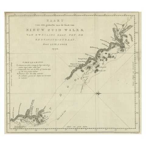
Original Copper Engraving of the Northeast Coast of Australia, 1803
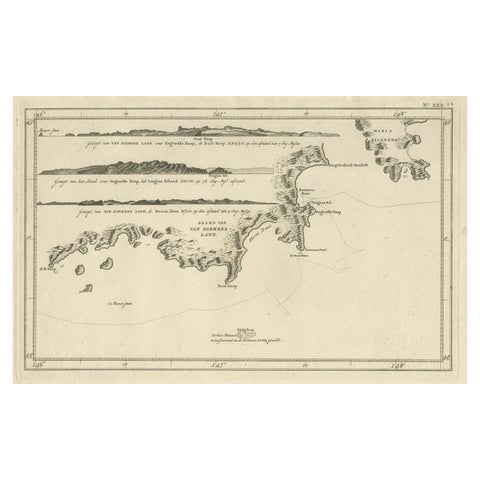
Antique Coastal Views and a Map of Van Diemens Land (Tasmania), Australia, 1803
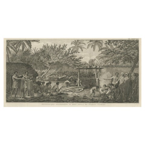
Human Sacrifice in a Morai, Tahiti, Cook Voyage Engraving c.1795
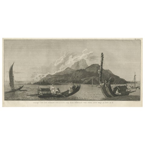
View of the Island of Tahiti, with Outrigger Canoes and Sailing Catamarans, 1803
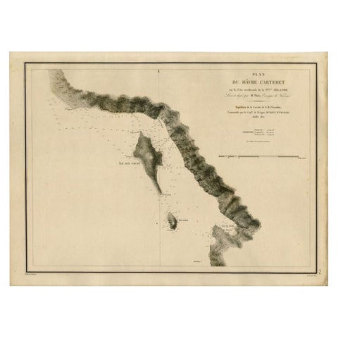
Antique Map of the Coast of New Ireland, Earlier Part of German New Guinea, 1833
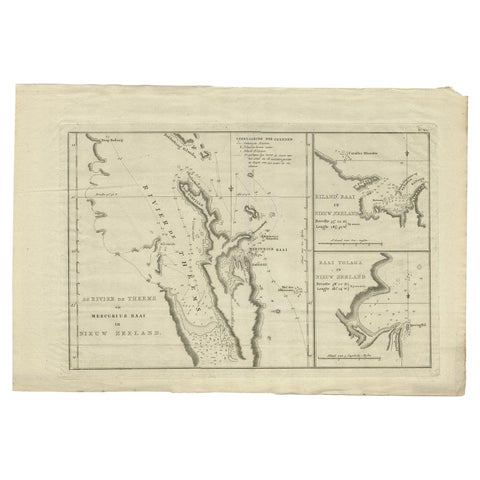
Detailed Map of New Zealand Showing the Route of Capt. Cook's First Voyage, 1803
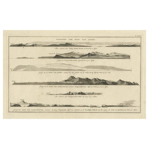
Dutch Antique Engraving with Coastal Views of Asia by Cook, 1803
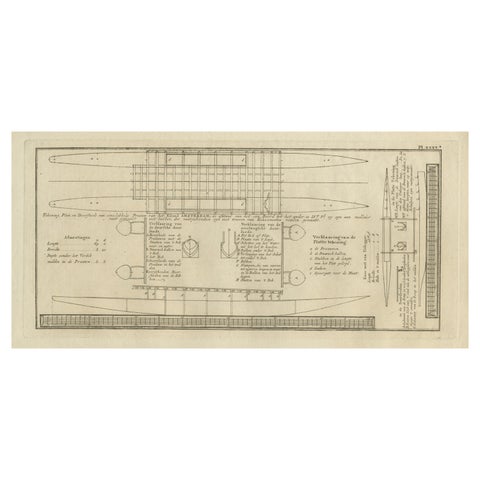
Old Drawing or Plan of a Proa of Amsterdam Island, Now Tongatapu, Tonga, 1803
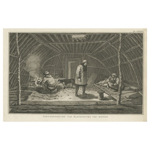
Interior of Winter House, Kamchatka, Cook Voyage Engraving c.1803
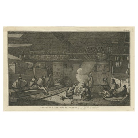
Interior of a Nootka House, Vancouver Island, Cook Voyage Engraving c.1795
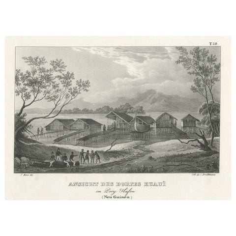
Original Lithograph with a Scene of a Village and Harbour in New Guinea, c.1836
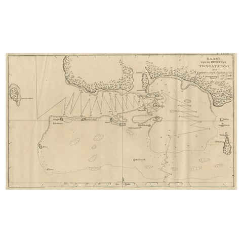
Antique Map of the Harbour of Tongatabu, One of the Tonga Islands, 1803
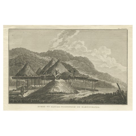
Summer & Winter Houses, Kamchatka, Cook Voyage Engraving c.1803
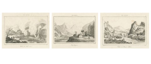
Hawaiian Volcanoes & Valleys, Antique Voyage Engravings, Renzi, Paris 1836
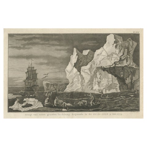
Old Print from Capt. Cooks Travels with Boats and a Ship in the South Sea, 1803
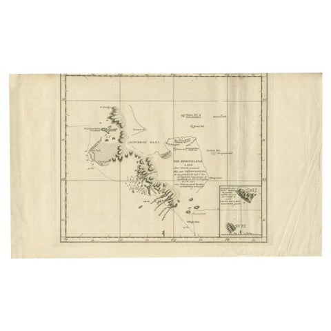
Antique Map of the Coast of Kerguelens Island by Cook, 1803
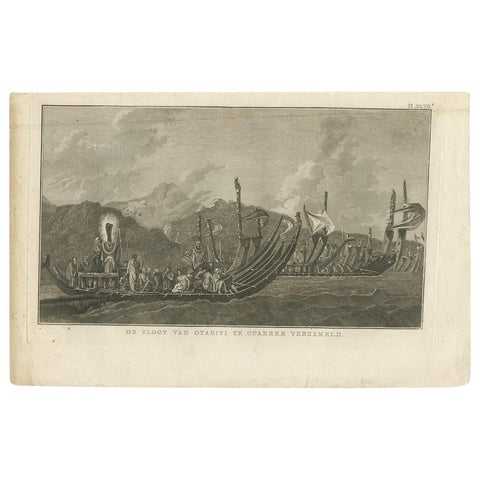
Antique Print of the Fleet of Proas of Tahiti by Cook, 1803
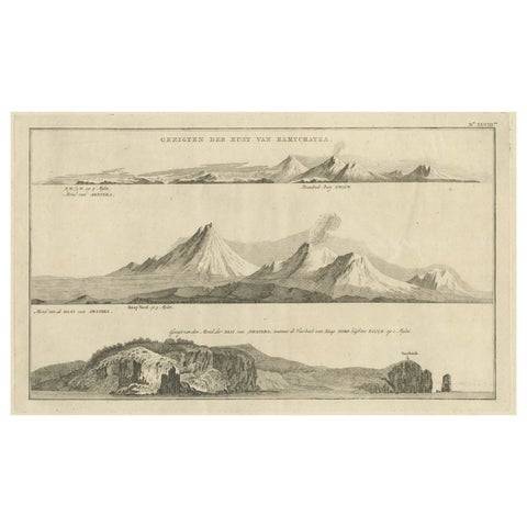
Antique Print with Coastal Views of Kamchatka in Russia by Cook, 1803
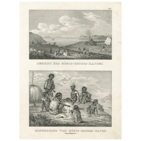
Scenes from King George's Harbour, New Holland (modern-day Australia), 1836
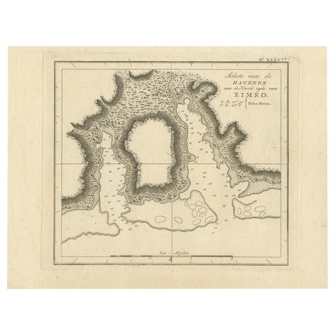
Antique Map of the Harbour of Taloo by J. Cook, 1803
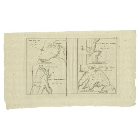
Antique Map of the Harbors of Matavai by Cook, 1803
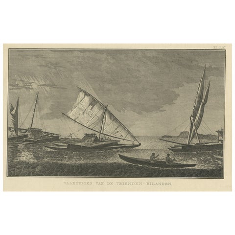
Antique Print of Boats of the Friendly Islands or Tonga, by Cook, c.1801
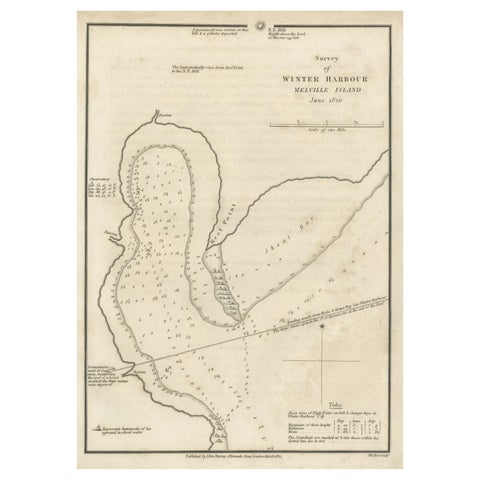
Map of Winter Harbour on Melville Island, Australia by Parry's Expedition, 1821
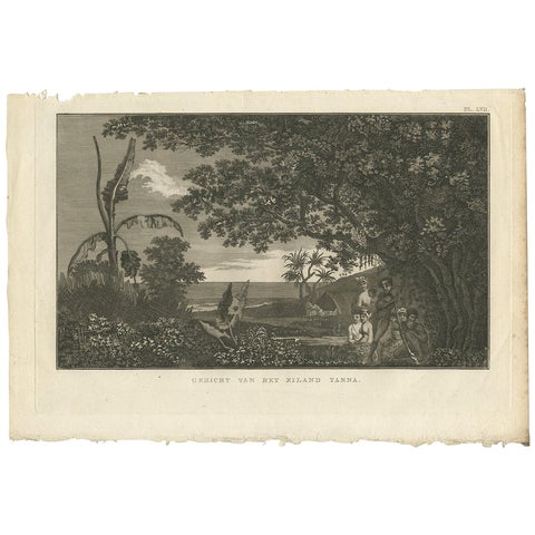
View of Tanna Island: A Glimpse into Vanuatu from Cook's Voyages, 1803
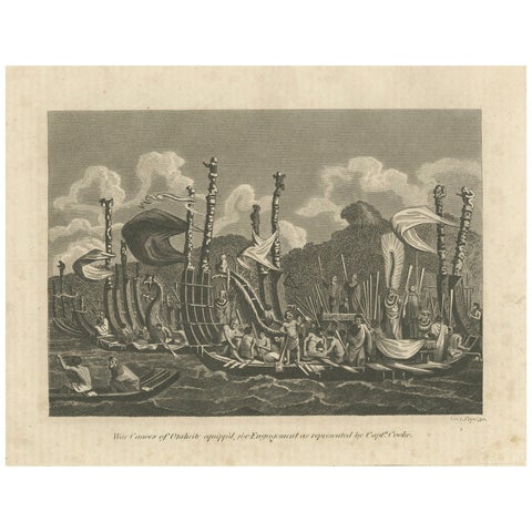
Naval Might of Tahiti: War Canoes Observed by Captain Cook, circa 1817
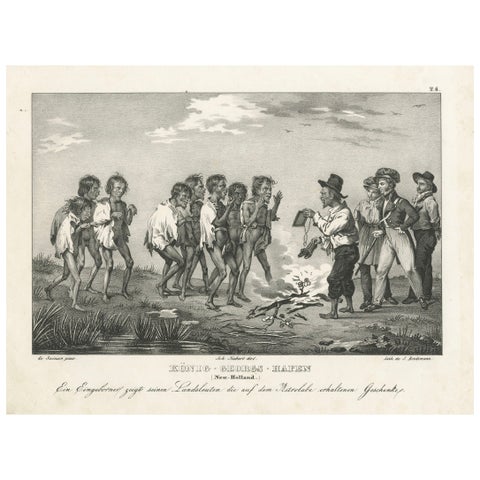
Sharing Astrolabe Gifts at King George's Harbour, New Holland (Australia), 1836
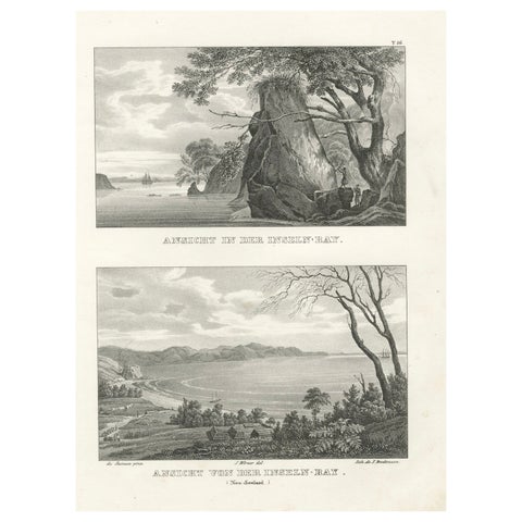
Scenic Views of Inseln Bay, New Zealand, from the Astrolabe Voyage, circa 1836
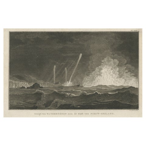
Antique Print of Three Whirlwinds and a Ship off the Coast of New Zealand, 1803
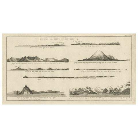
Early Coastal Views of Various Islands of the American West Coast, 1803
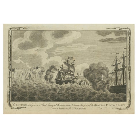
Naval Engagement at Unalata, Guam: The Peril of HMS Success, circa 1790
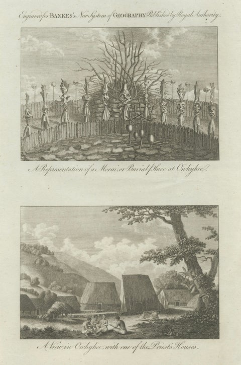
Hawaii Religious Site & Village Engravings, Owhyhee, Cook Voyage, c.1790
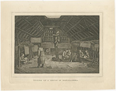
House in Oonalashka, Captain Cook Voyage, after Webber, Engraving, circa 1820
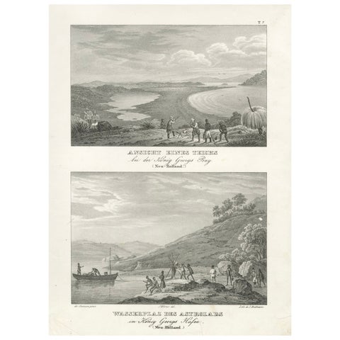
Evocative Scenes from King George's Harbour (modern-day Albany, Australia), 1836
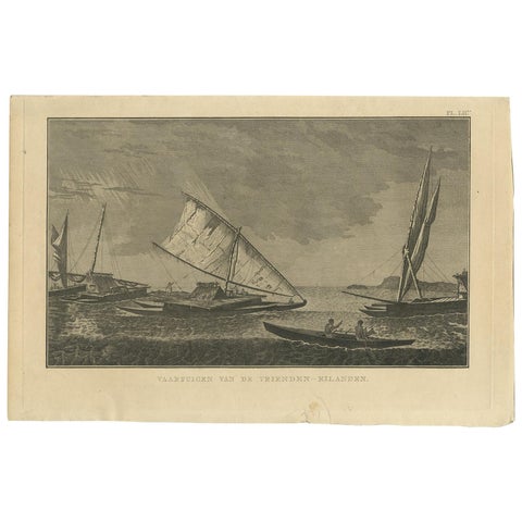
Antique Print of Various Vessels of the Friendly Islands by Cook, 1803
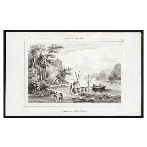
Antique Print of Sailors at New Ireland, 1836
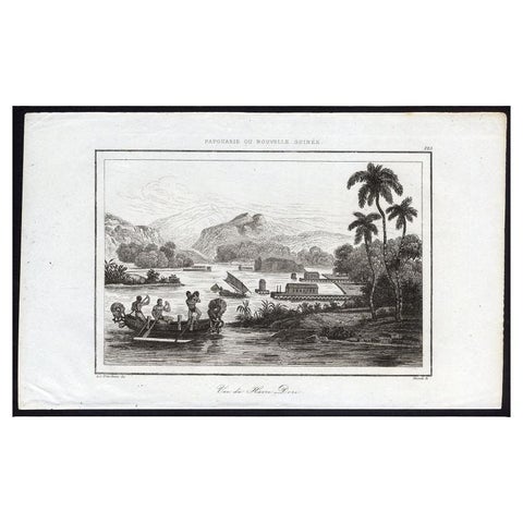
Antique Print of Dory Harbour, New Guinea, 1836