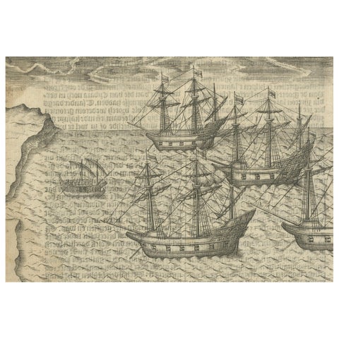
Before 1700: Dutch Golden Age
Sea charts and maritime prints printed before 1700, the dutch golden age. Every one a period original.
72 pieces
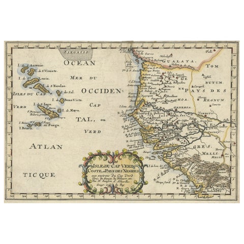
Antique Map of the Coast of Africa and the Cape Verde Islands, ca.1680
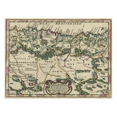
Copper-Engraved Map Showing the Algerian Coast of North Africa, Published 1683
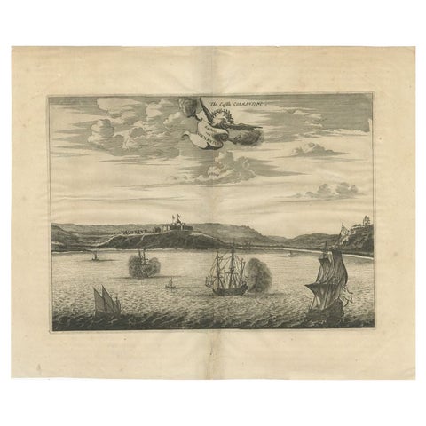
Antique Print of a Fort on the Gold Coast of Africa by Dapper, c.1670
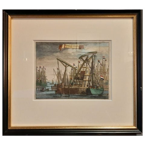
Antique Framed Print of the Ship Cranes of Amsterdam, The Netherlands, 1693
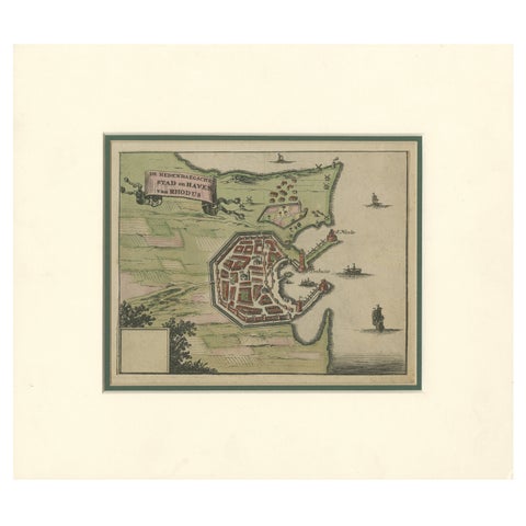
City and Harbour of Rhodes, Olfert Dapper, 1688 Hand-Coloured Engraving
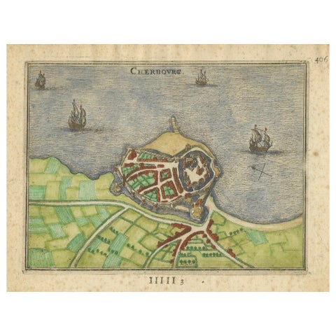
Cherbourg, Antique Hand-Coloured French Coastal Town Engraving (1666)
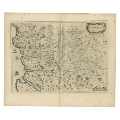
Antique Map of the Coast of Artois by Janssonius, 1657
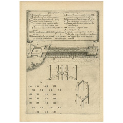
Duke of Parma’s 1585 Ship Bridge Plan: Siege of Antwerp Engineering Print
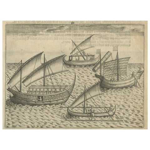
Javanese and Malay Ships near Bantam, from Pontanus’ Amsterdam History, 1611
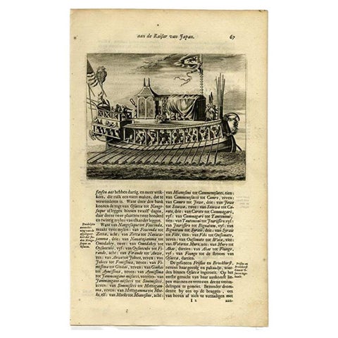
Antique Print of a Japanese Pleasure or Galley Yacht (1669)
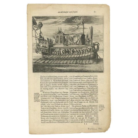
Antique Print of a Japanese Pleasure Yacht by Montanus, 1669
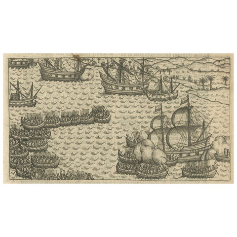
Naval Battle between Dutch and Javanese Fleets near Bantam, Pontanus 1611
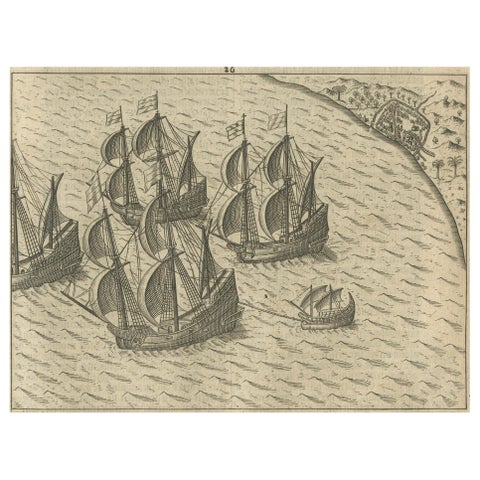
Dutch Fleet off the Coast of Bantam, Java, from History of Amsterdam, 1611
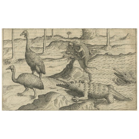
Early Dutch Exploration Scene with Exotic Wildlife and Naval Encounter, 1611
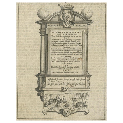
Memorial to Jacob van Heemskerck, Dutch Naval Hero at Gibraltar, Engraving, 1611
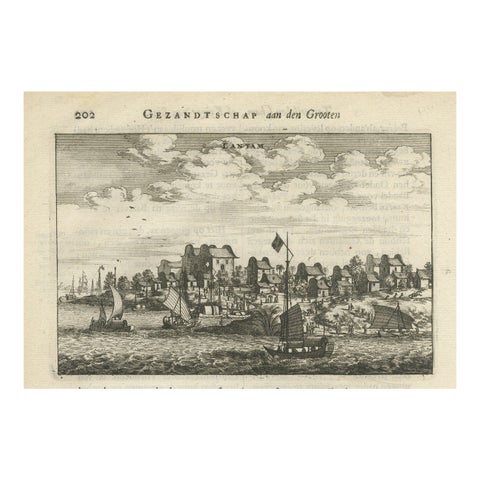
Antique Print of Chinese Vessels Near Lantam, China, 1665
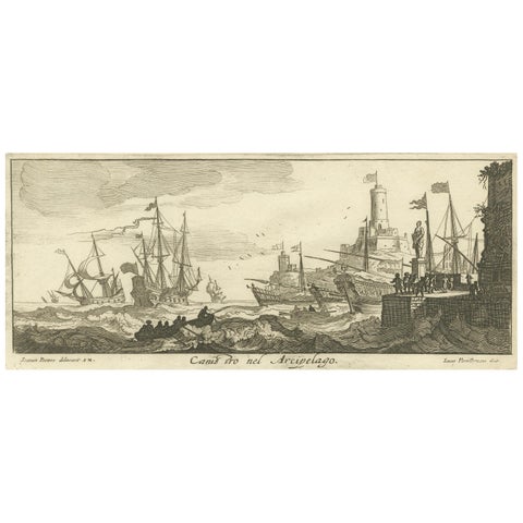
Maritime Scene in the Aegean Archipelago with Fortifications & Ships, circa 1680
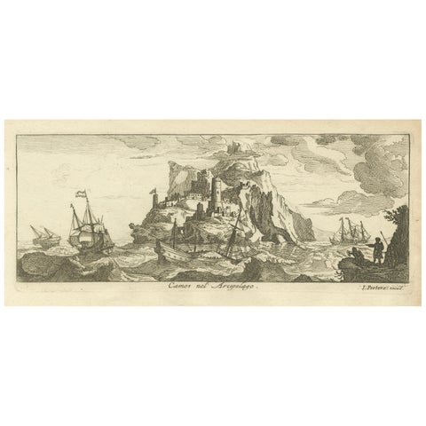
Fortified Island in the Aegean Archipelago with Ships at Sea, circa 1680
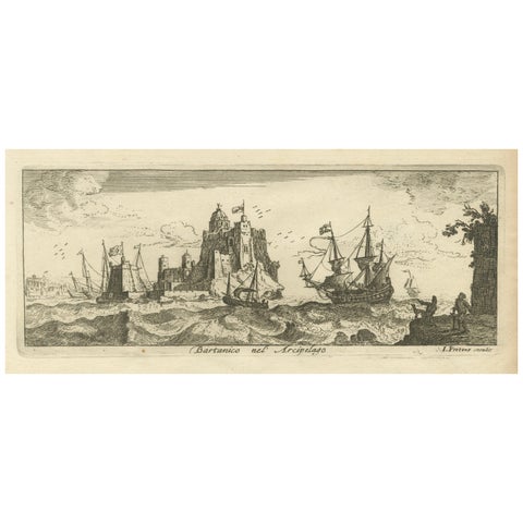
View of Bartanico in the Aegean Archipelago with Fortifications and Ships, 1680
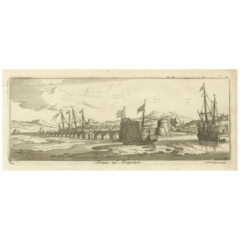
View of Fanar in the Aegean Archipelago with Bridge and Ships, ca. 1680
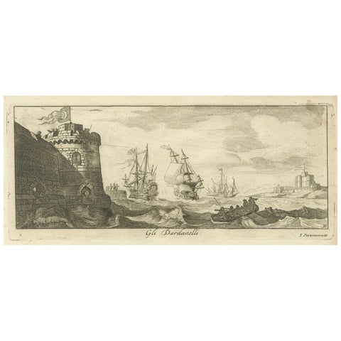
Engraved View of the Dardanelles with Fortifications and Ships, ca. 1680
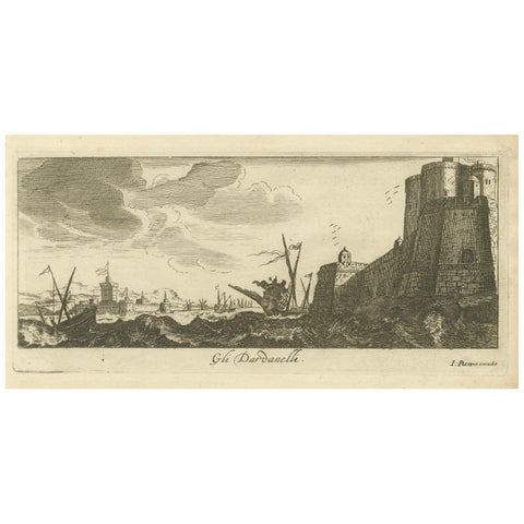
The Dardanelles with Fortified Towers and Maritime Activity, ca. 1680
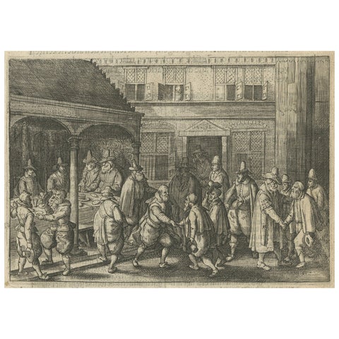
The Return of Dutch Explorers to Amsterdam Harbor, Pontanus, 1611