Close-ups
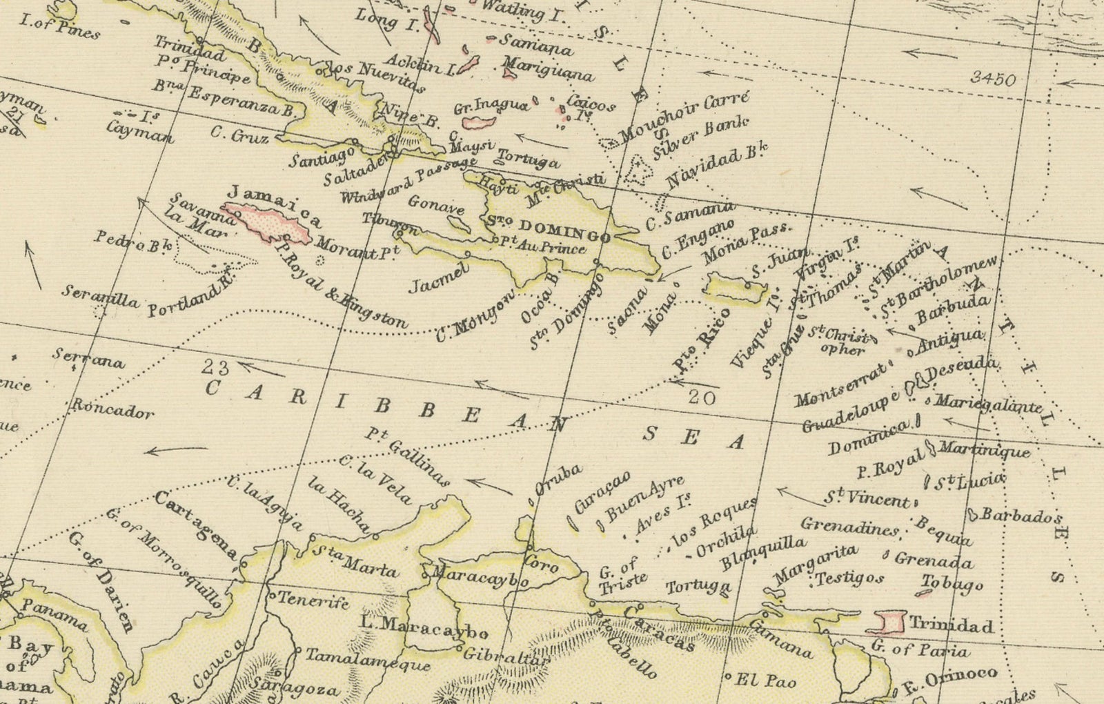
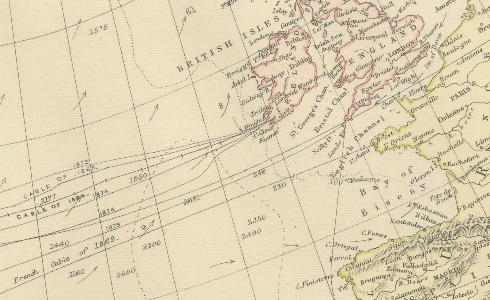
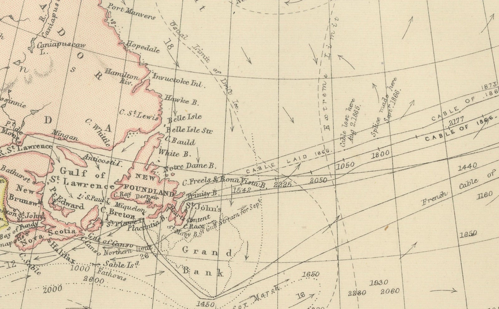
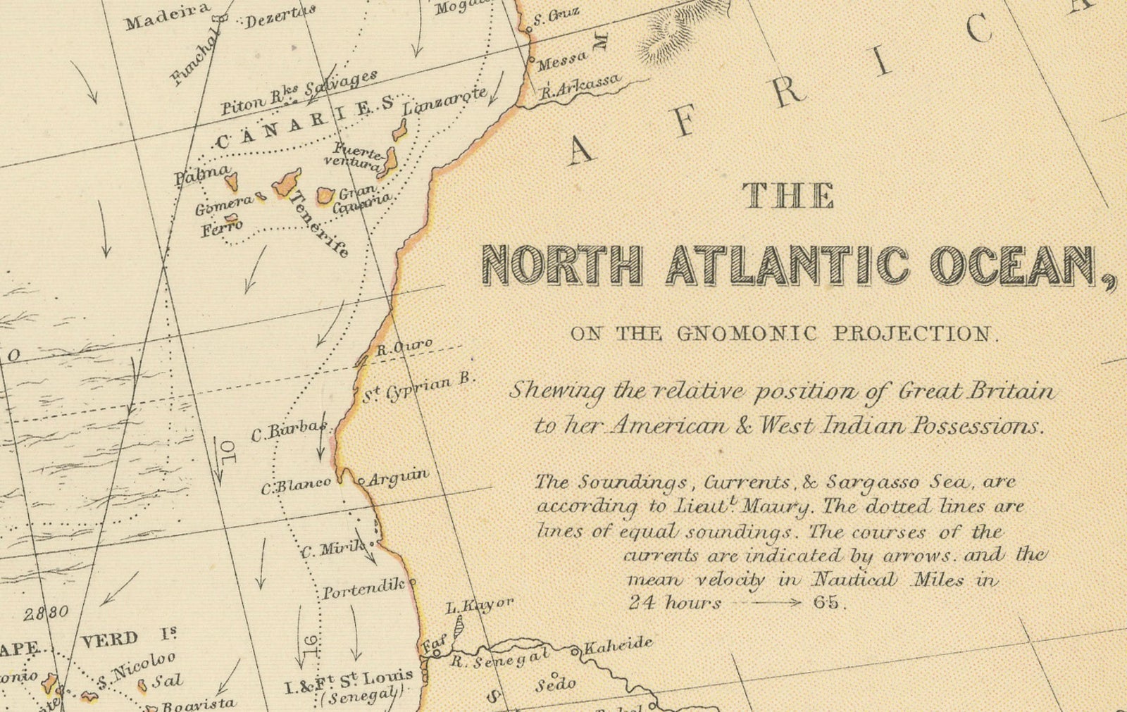
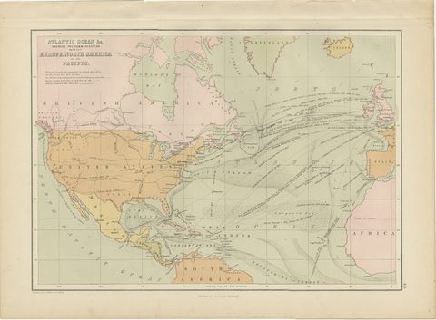
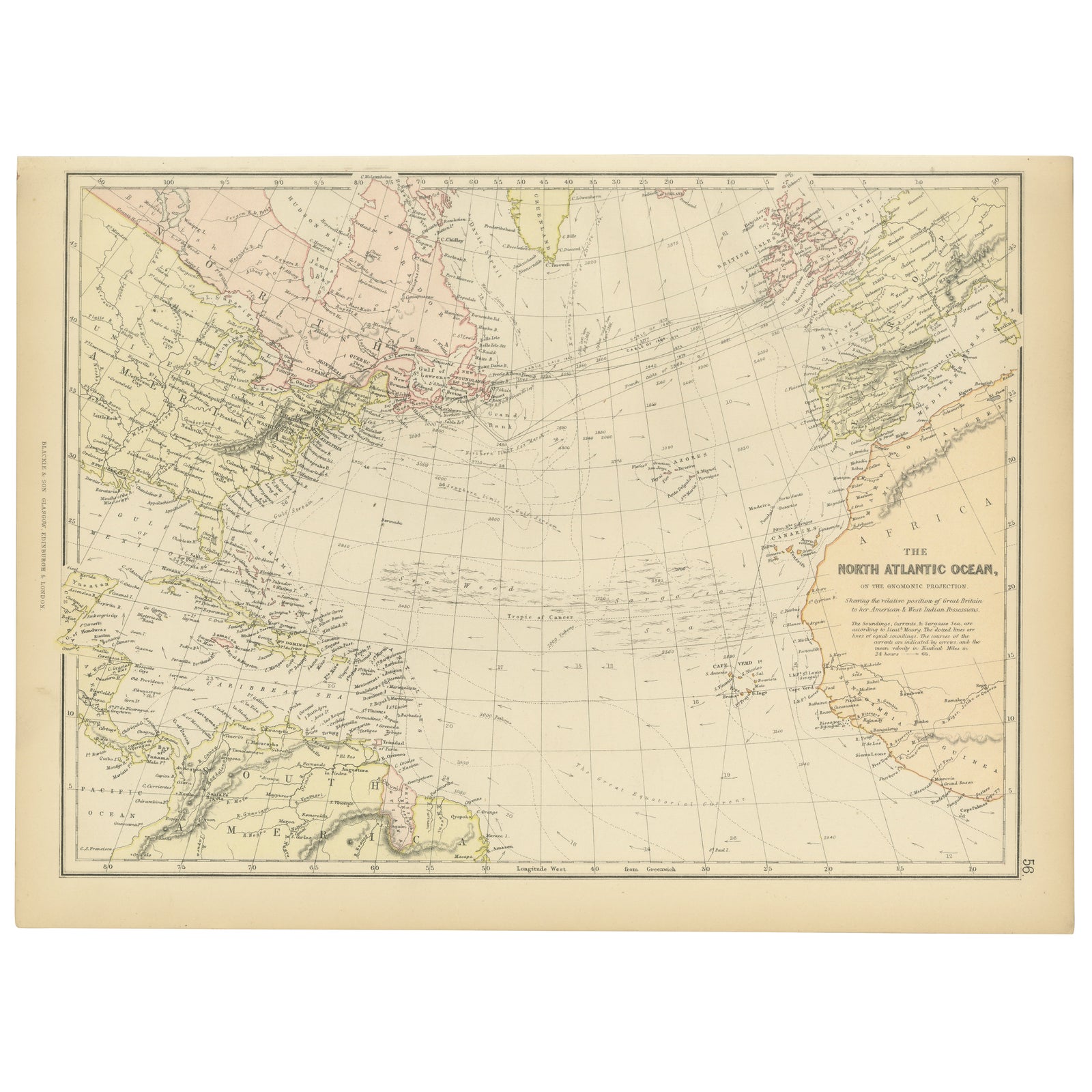
1882 Map of the North Atlantic Ocean Showing Cable Tracks and Trade Winds
$280
€250 · £210
Original print, not a reproduction.
Ships worldwide from the Netherlands, flat, insured and tracked. 14-day returns.
- Date
- 1882
- Sheet size
- 10.6 × 15 in (27 × 38 cm)
- Condition
- Good. Condition report: The map is in good condition with minimal edge wear. Slight toning and occasional spotting are present, consistent with its age. The engraving remains sharp, and the colors are well-preserved. Fold line in middle, as issued.
- Collection
- Sea charts
- Era
- 1850 and after, Steam and steel
- Stock no.
- f_43552992
What the condition grades mean
- Excellent
- Bright and clean, with no faults worth mentioning.
- Very good
- Only light signs of age, such as faint toning.
- Good
- Normal signs of age for a sheet of this period: toning, some foxing, small marks or neat old repairs.
- Fair
- Clear faults such as staining, tears or repairs, priced to match.
Every fault we see is written in the condition note, and the whole sheet is shown uncropped in the photos.
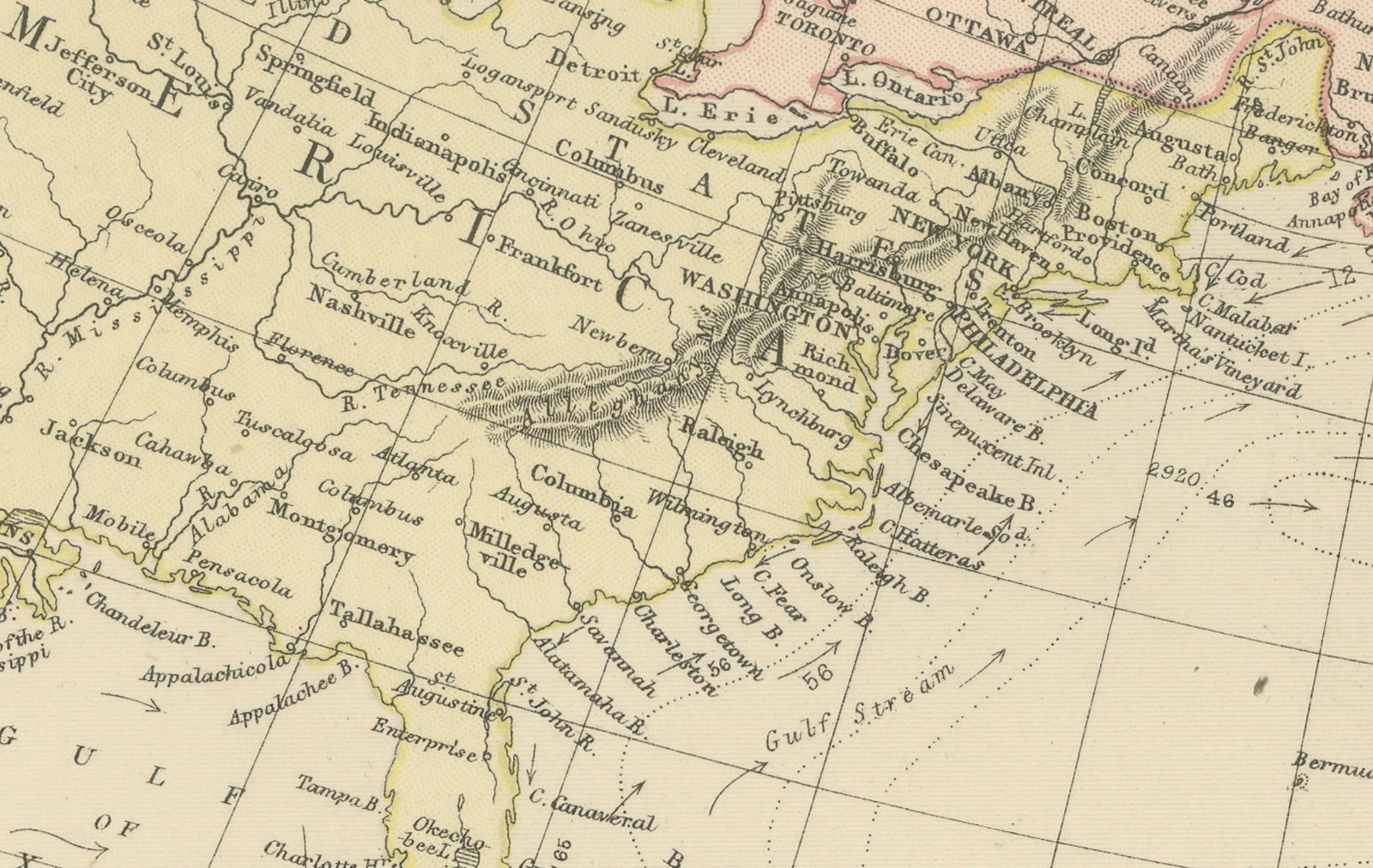
This 1882 map of the North Atlantic Ocean, published by Blackie and Son as part of the 'Comprehensive Atlas and Geography of the World,' provides an intricate depiction of one of the most historically significant maritime regions. The map highlights when underwater cables connected the Americas and Europe. It includes key geographic features, such as the British Isles, the eastern United States, the Caribbean, and West Africa, with detailed coastlines and prominent cities like London, New York, and Havana marked.
Bathymetric details, including ocean depths and the location of banks such as the Grand Banks near Newfoundland, are carefully depicted, reflecting the region’s importance for fishing and maritime activities. Trade winds and currents providing insight into the challenges and opportunities for 19th-century navigation. The map also includes subtle pastel coloring to delineate political boundaries and territories.
Condition report: The map is in good condition with light age-related toning and minor spotting. The paper is intact, the engraving is clear, and the colors remain vibrant. There are no visible tears or repairs.
Framing tips: Opt for a classic wooden frame with a dark oak or mahogany finish to complement the historical nature of the map. Use a double mat with a cream or off-white inner mat and a soft blue or light gray outer mat to enhance the oceanic theme. UV-protective glass is recommended to prevent fading and preserve the map’s condition over time.