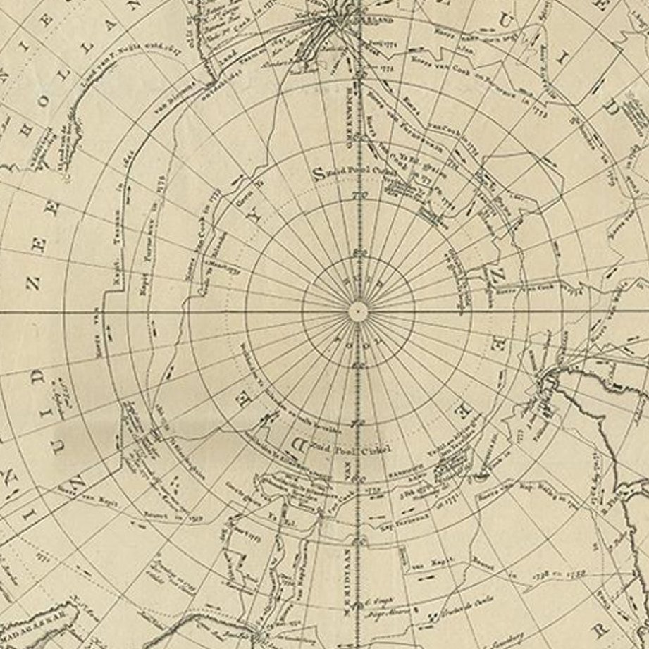
Close-ups
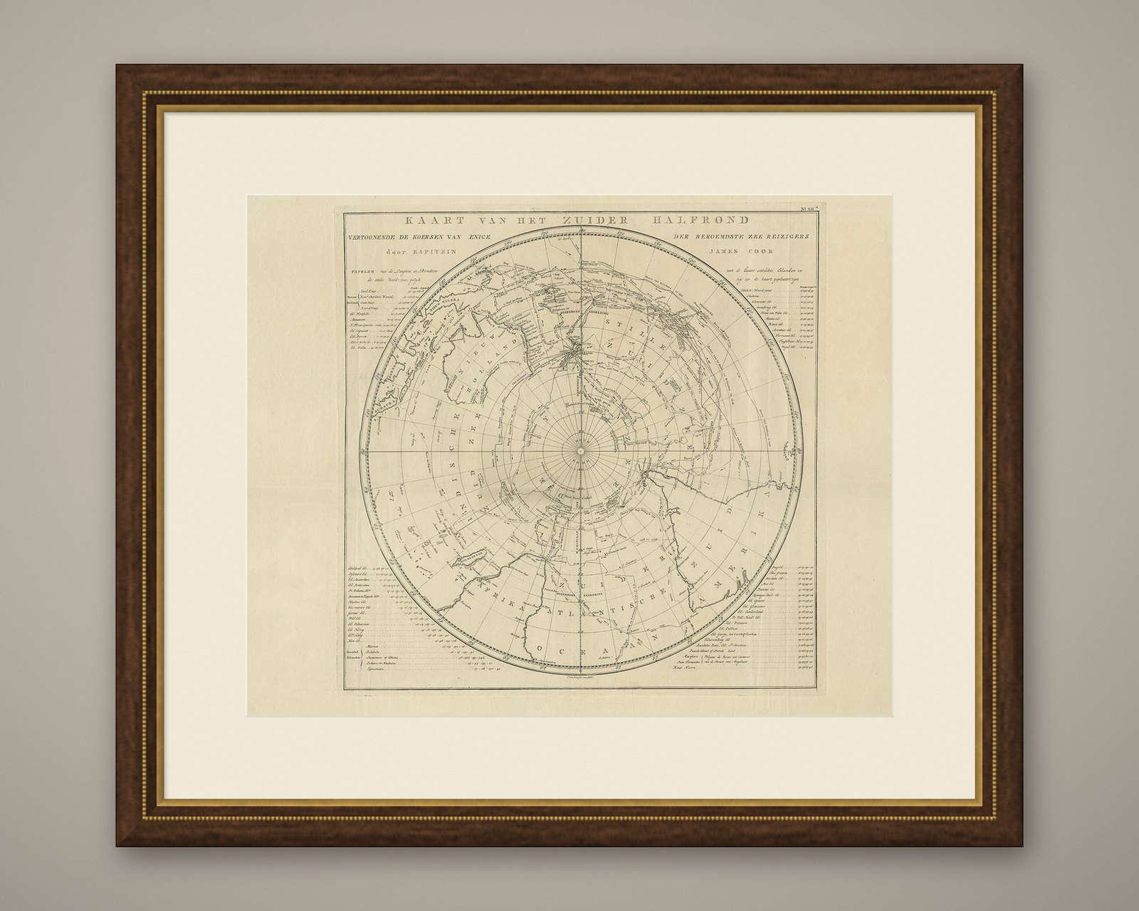
Framed and on the wall
Frame and rooms are illustrations of how the piece could look; it is sold unframed unless the description says otherwise.
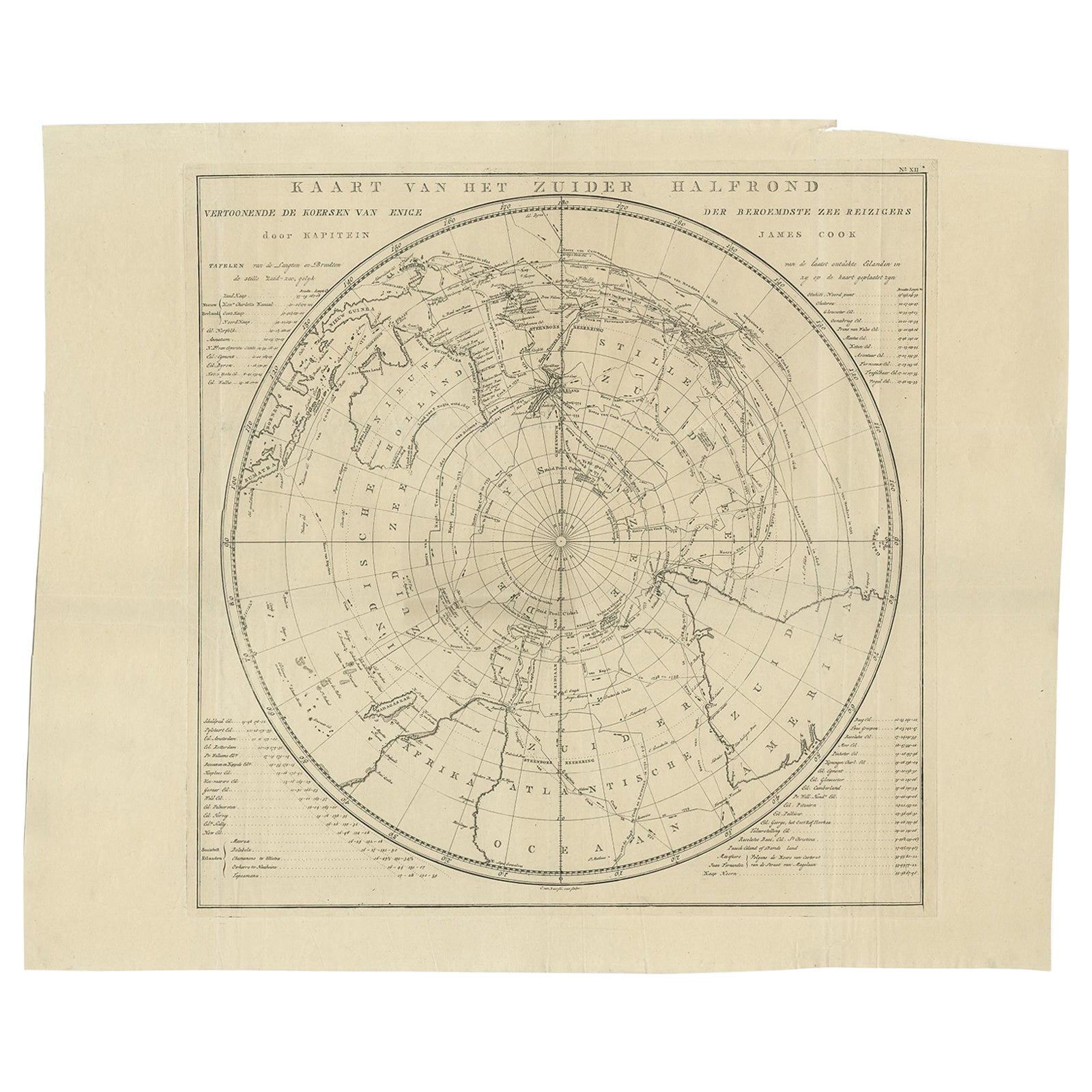
Antique Chart of the Southern Pole, Showing Three Routes of Captain Cook, 1803
£815
$1,075 · €960
Original print, not a reproduction.
Ships worldwide from the Netherlands, flat, insured and tracked. 14-day returns. To buy, use Ask a question and we will reserve it for you.
- Date
- 1803
- Sheet size
- 24 × 28.9 in (61 × 73.5 cm)
- Condition
- Good
- Collection
- Voyages of discovery
- Era
- 1790 to 1849, Age of sail
- Stock no.
- f_25894882
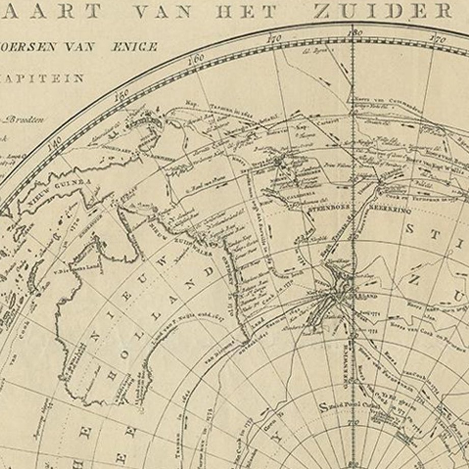
Antique map titled 'Kaart van het Zuider Halfrond'. Circular chart within a square frame centred on the southern pole. It shows southern parts of South America, South Africa and Madagascar as well as Australia and part of Indonesia. Originates from 'Reizen Rondom de Waereld door James Cook (..)'.
Artists and Engravers: Translated by J.D. Pasteur. Published by Honkoop, Allart en Van Cleef.
Condition: Very good, minor defects and some small professional restorations. Please study image carefully.
Date: 1803
Overall size: 73.5 x 61 cm
Image size: 52 x 53 cm
We also offer thousands of antique prints covering fields of interest as diverse as architecture, natural history, religion, ethnology and many more. Antique prints have long been appreciated for both their aesthetic and investment value. They were the product of engraved, etched or lithographed plates. These plates were handmade out of wood or metal, which required an incredible level of skill, patience and craftsmanship. Whether you have a house with Victorian furniture or more contemporary decor an old engraving can enhance your living space.
EXPLORE