Close-ups
Framed and on the wall
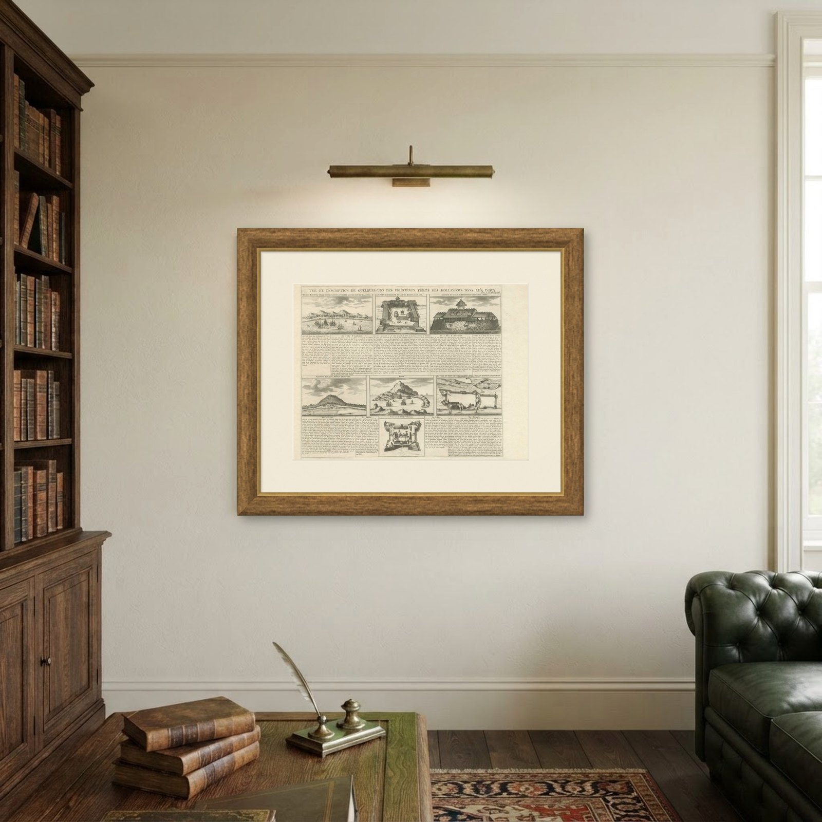
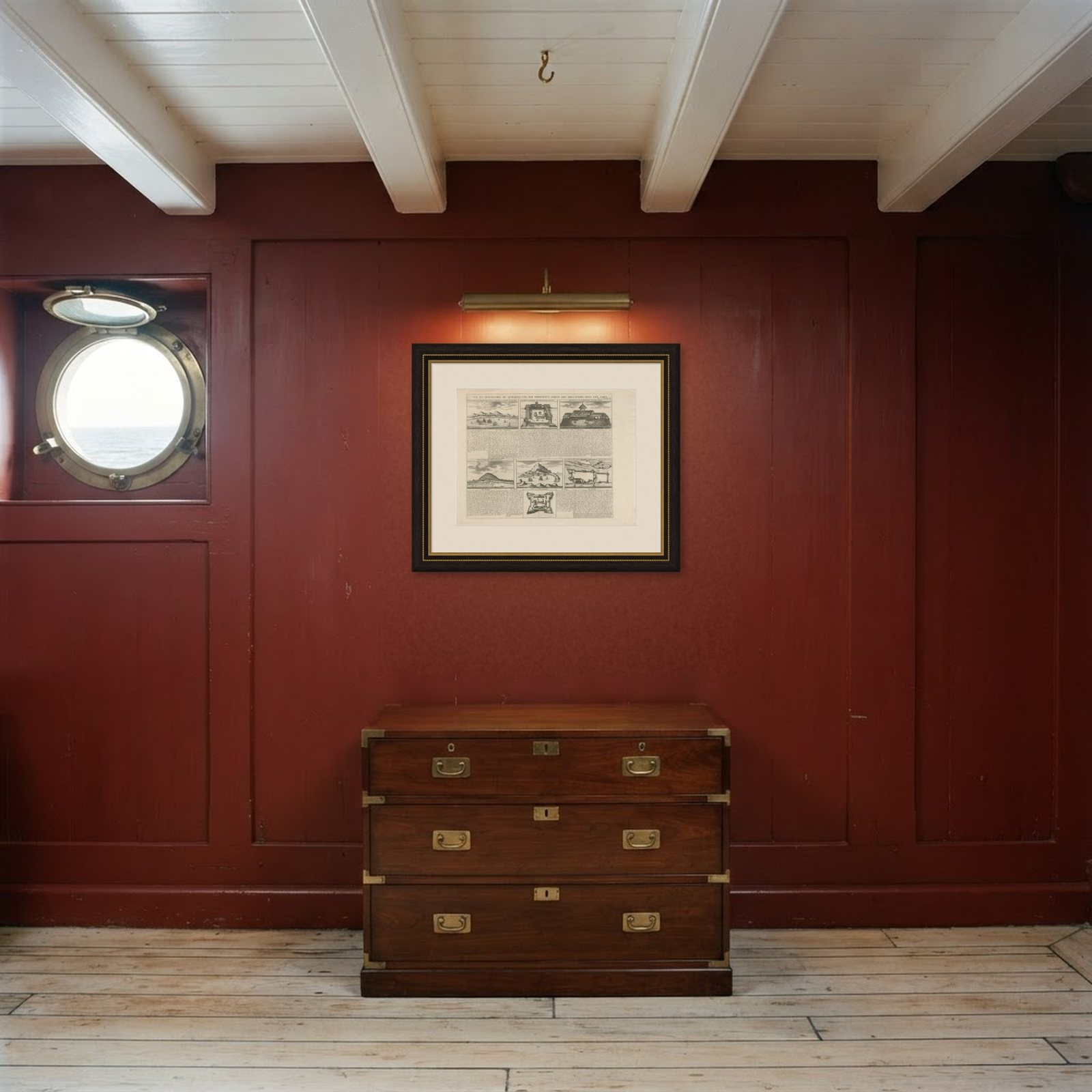
Frame and rooms are illustrations of how the piece could look; it is sold unframed unless the description says otherwise.
Antique Dutch East Indies Forts Engraving, VOC Batavia, Ambon & Banda, c.1719
$485$34030% off
€308 · £260
Original print, not a reproduction.
Ships worldwide from the Netherlands, flat or rolled, insured and tracked. 14-day returns.
- Date
- 1719
- Sheet size
- 16.1 × 19.7 in (41 × 50 cm)
- Condition
- Good. Good antique condition consistent with early 18th-century atlas engravings. Age-related toning present; light handling wear to margins. Central vertical fold line visible as typical for bound atlas sheets; plate impression visible.
- Collection
- Harbours & ports
- Era
- 1700 to 1789, Age of discovery
- Stock no.
- BG-14244-7
What the condition grades mean
- Excellent
- Bright and clean, with no faults worth mentioning.
- Very good
- Only light signs of age, such as faint toning.
- Good
- Normal signs of age for a sheet of this period: toning, some foxing, small marks or neat old repairs.
- Fair
- Clear faults such as staining, tears or repairs, priced to match.
Every fault we see is written in the condition note, and the whole sheet is shown uncropped in the photos.
Antique Dutch East Indies Forts Engraving, VOC Batavia, Ambon & Banda, Chatelain c.1719
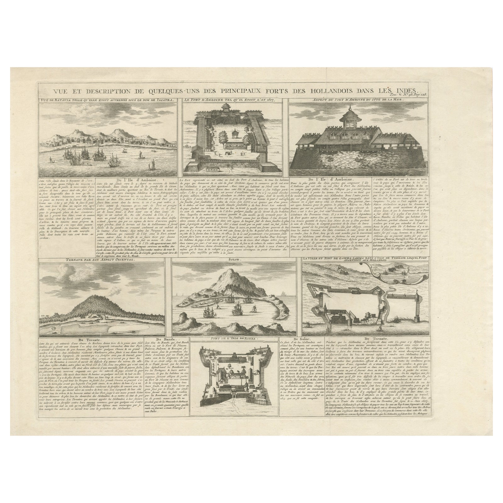
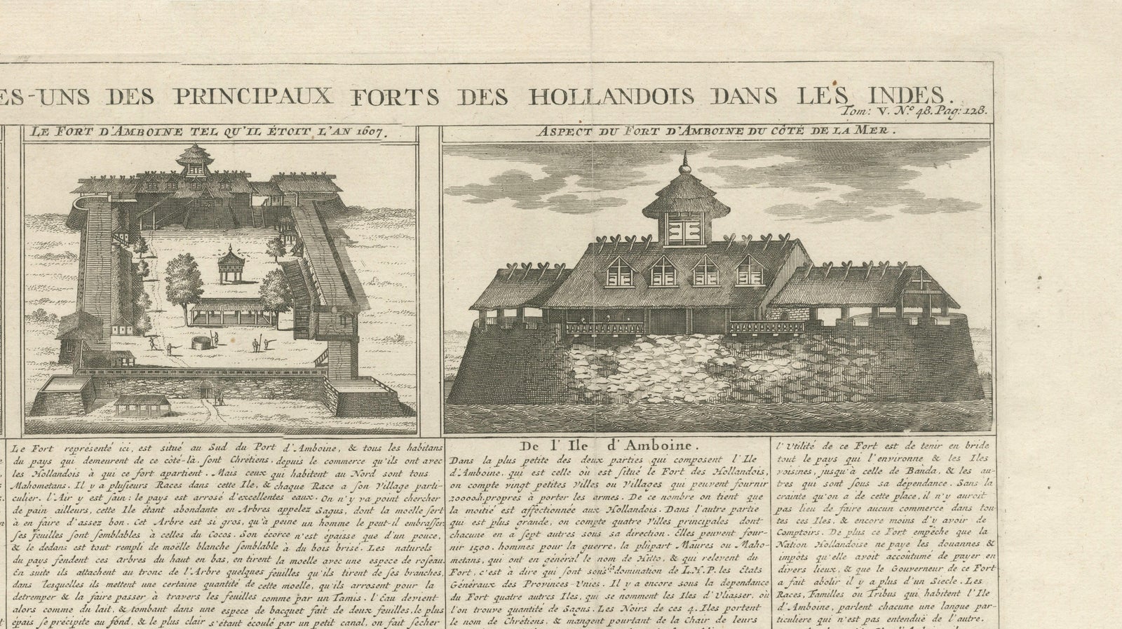
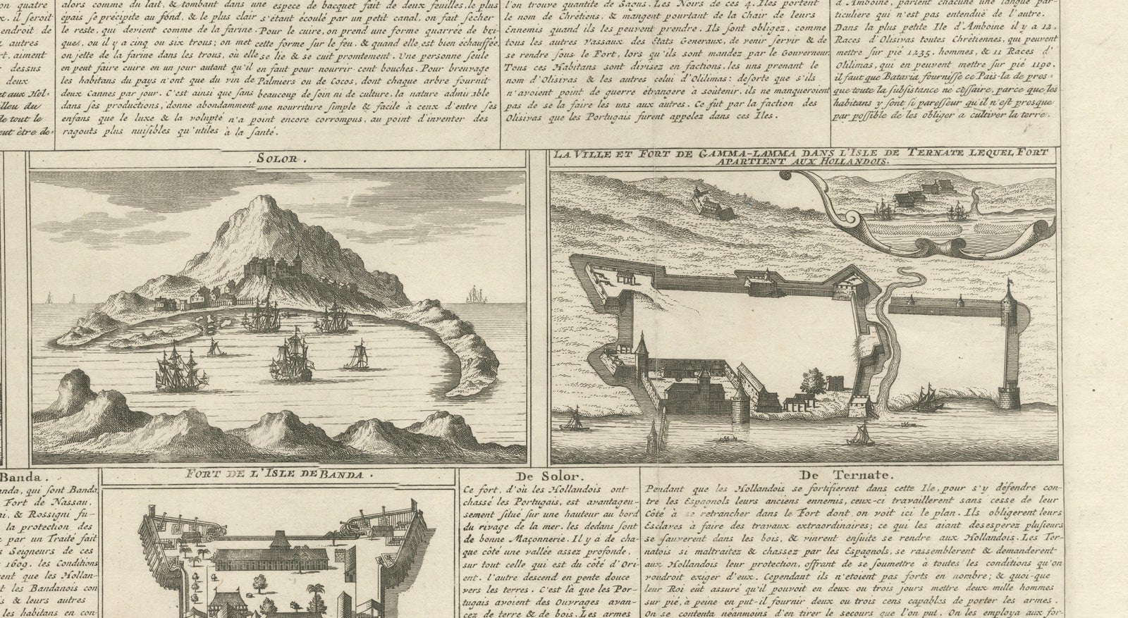
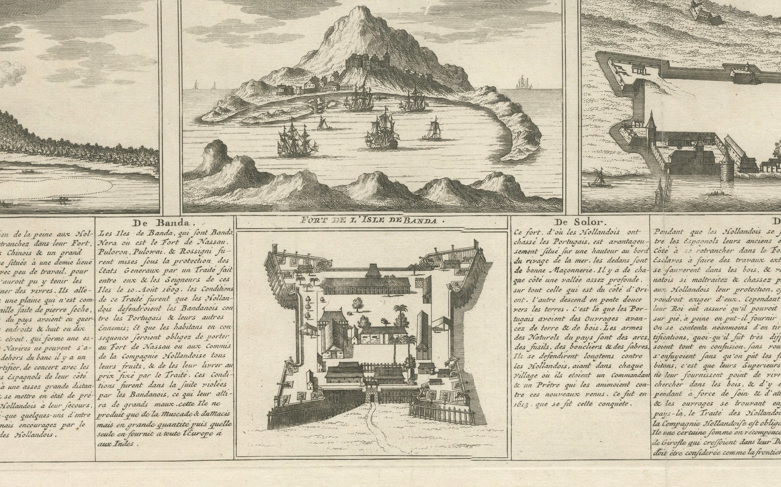
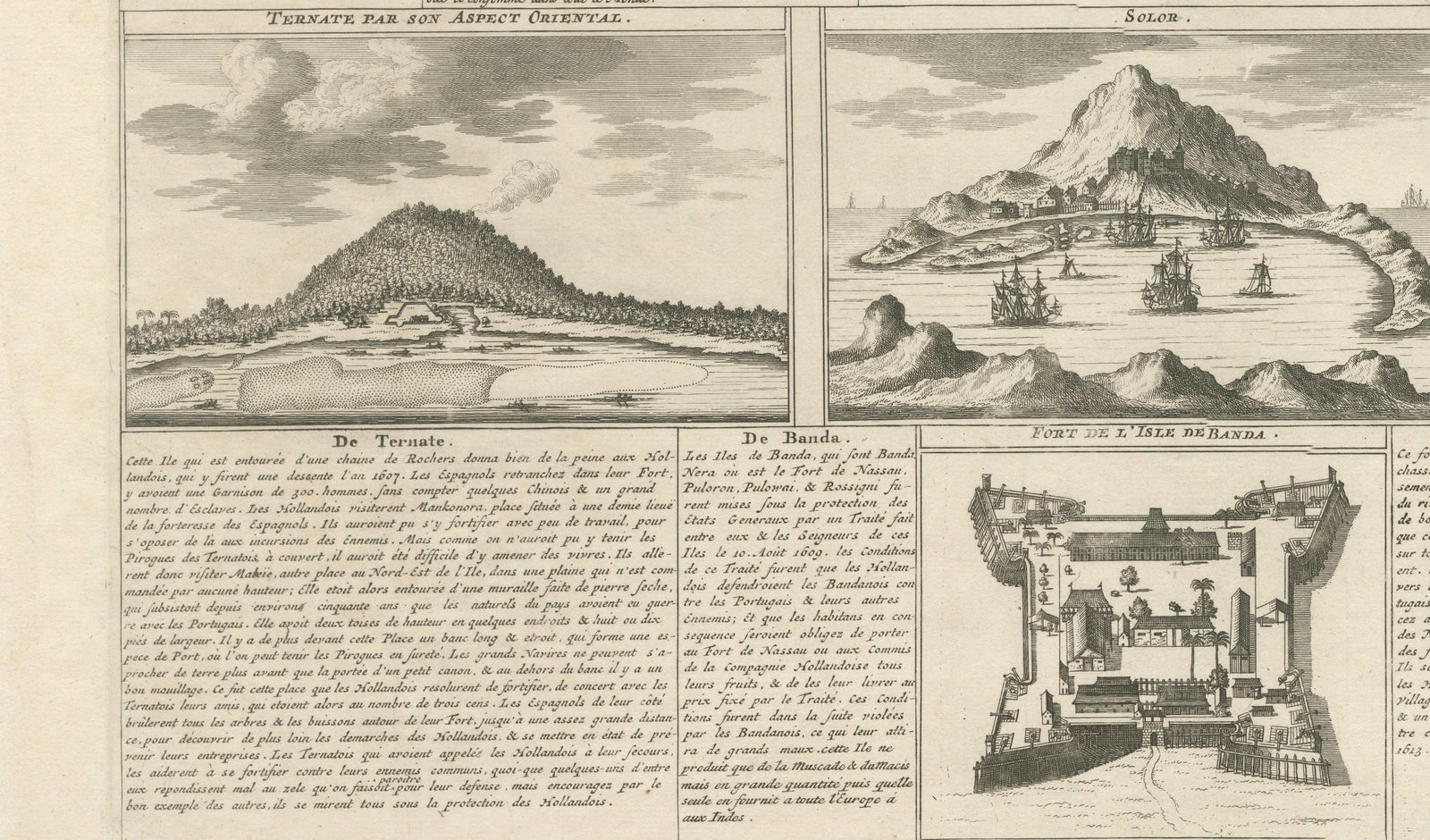
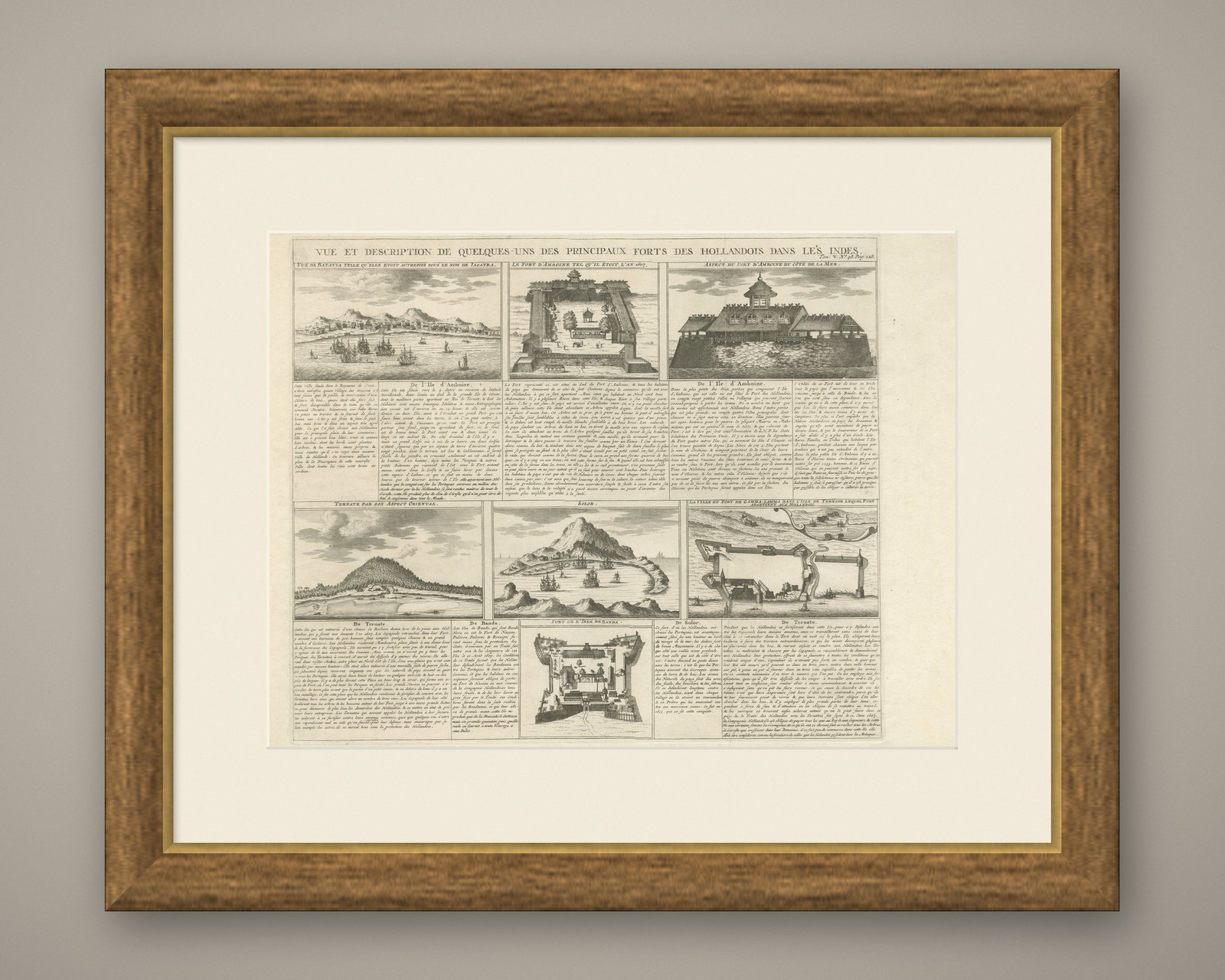
This impressive early 18th-century copperplate engraving titled “Vue et description de quelques-uns des principaux forts des Hollandois dans les Indes” was published by Henri Abraham Chatelain in Amsterdam around 1719 as part of his celebrated Atlas Historique. The engraving presents a rare and highly detailed overview of key Dutch East India Company (VOC) fortifications across the East Indies, combining cartographic, architectural, and historical elements into a structured multi-panel composition.
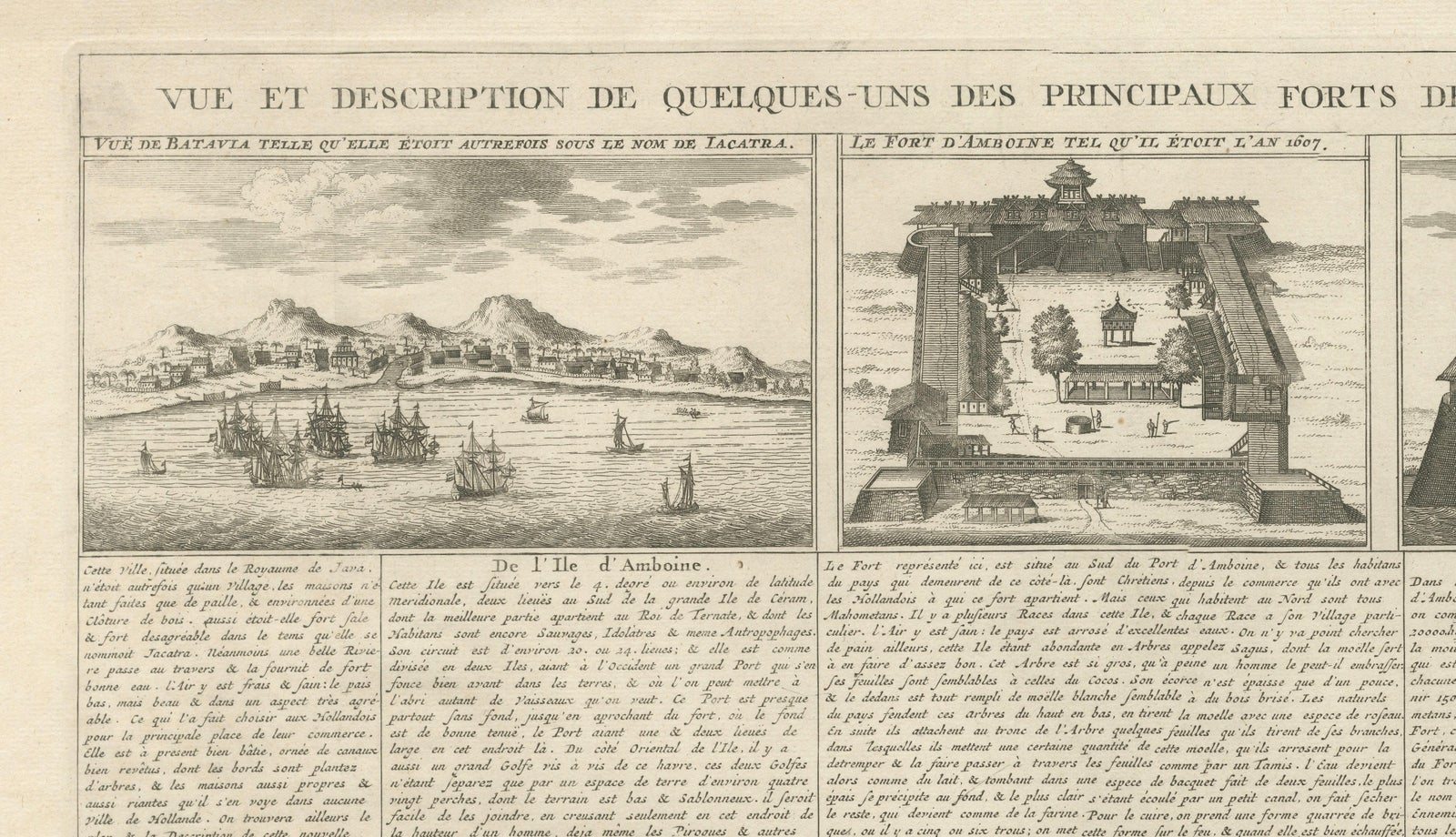
The upper register includes views of Batavia (modern Jakarta), the administrative and commercial capital of the VOC in Asia, along with depictions of the fort at Ambon as it appeared in the early 17th century. These scenes highlight strategic coastal defenses, European-style fortifications, and harbor activity, illustrating the maritime power that underpinned Dutch expansion and trade dominance. Architectural renderings emphasize bastioned walls, defensive layouts, and administrative buildings, offering insight into early colonial military engineering.
The lower section expands the geographic scope with additional views including Ternate, Solor, Banda, and other strategically important island locations. These islands formed part of the lucrative spice trade network that made the VOC one of the most powerful corporations of the early modern era. The engravings capture volcanic landscapes, fortified settlements, and harbor scenes populated by ships, visually demonstrating the interconnected nature of Dutch colonial infrastructure.
Chatelain’s Atlas Historique was designed to synthesize global geography, politics, religion, and commerce into a visually compelling reference work. Plates depicting Dutch overseas expansion are particularly sought after today, combining historical significance with strong decorative appeal. For collectors interested in Dutch East Indies history or maritime exploration, this engraving represents an important documentary image illustrating the reach and organization of early European global trade.
Decoratively, the sheet’s structured grid of detailed vignettes creates a dynamic yet balanced composition ideal for display. The combination of panoramic landscapes and architectural views lends itself well to gallery walls focused on exploration, colonial history, or early cartography.
These are original print(s) from the year of publication, not later reproductions. The print is offered unframed, enabling custom framing to personal or interior preferences.
Condition report: Good antique condition consistent with early 18th-century atlas engravings. Age-related toning present; light handling wear to margins. Central vertical fold line visible as typical for bound atlas sheets; plate impression visible.
Framing tips: A dark walnut or ebonized frame paired with a generous ivory mat enhances the engraving’s architectural clarity and historic character. Museum-quality UV-protective glass is recommended to preserve the paper and emphasize the fine engraved detail.
Technique: Copperplate engraving
Maker: Henri Abraham Chatelain, Amsterdam, circa 1719