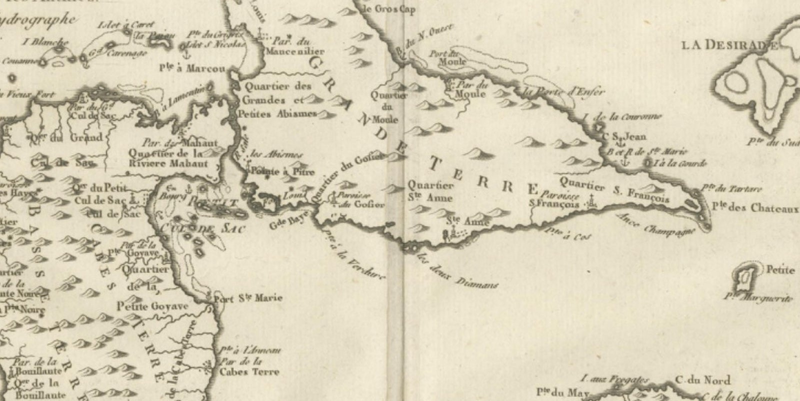
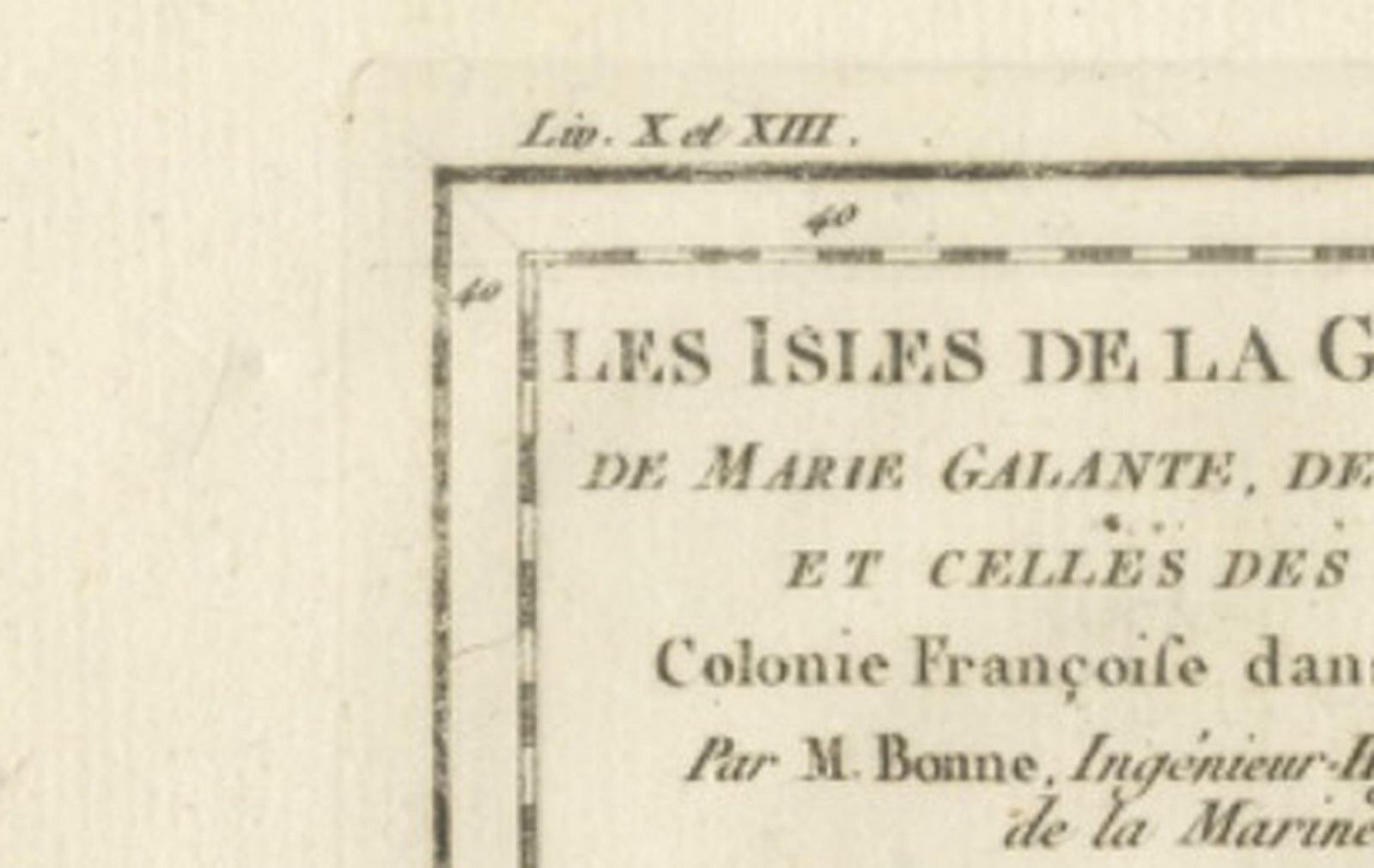
Close-ups
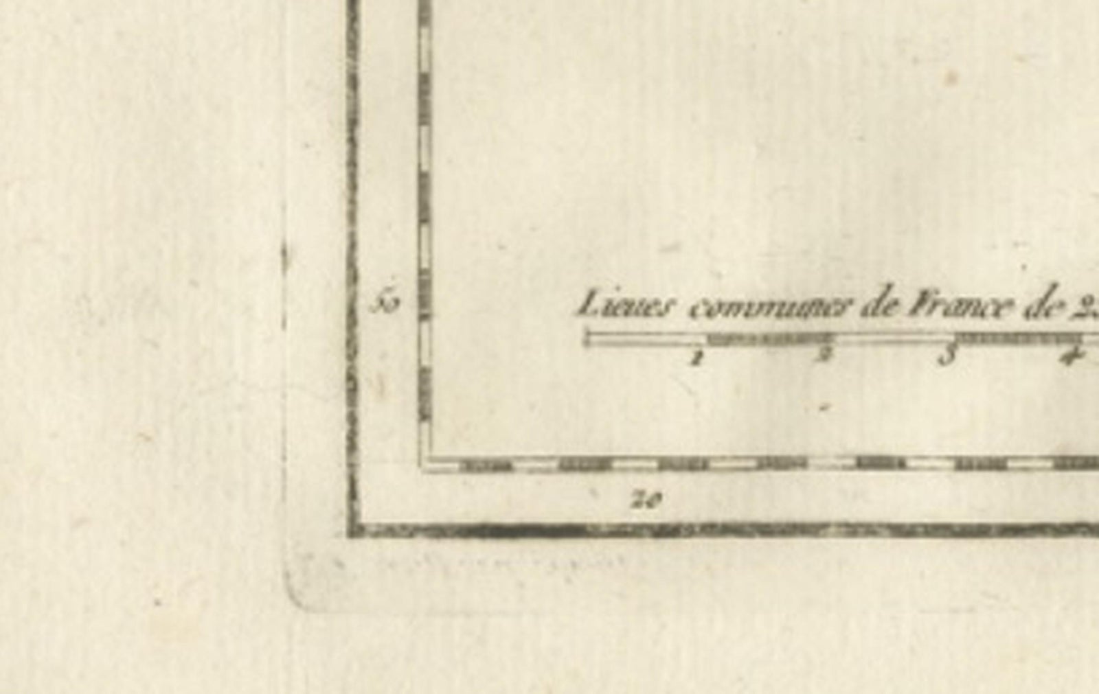
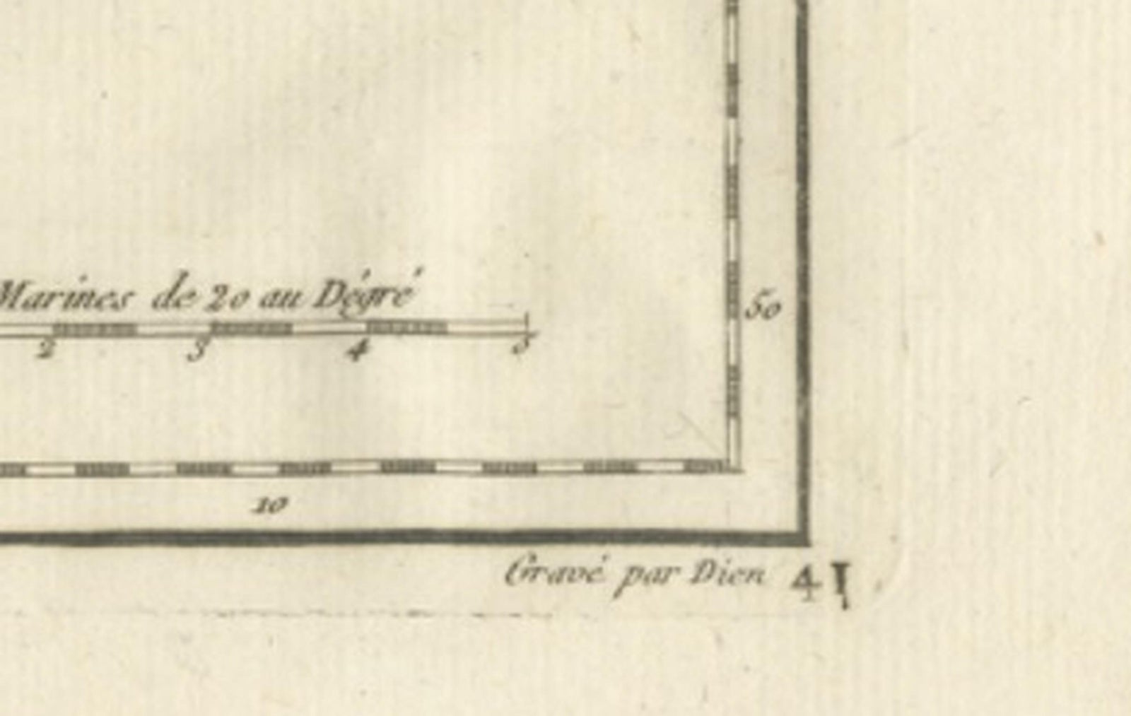
Framed and on the wall
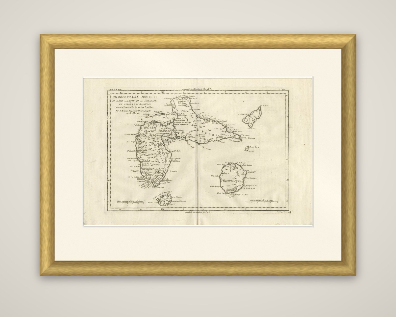
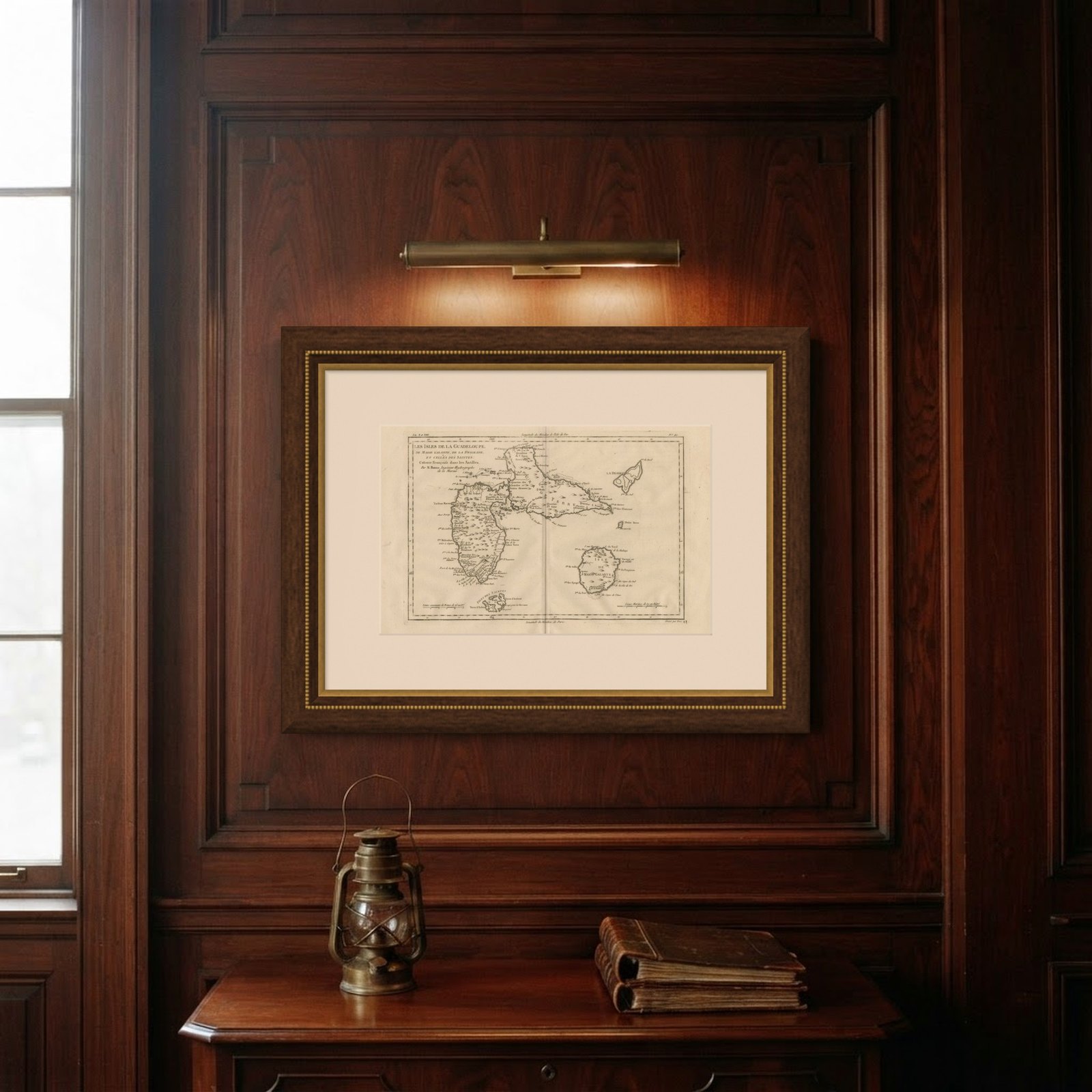
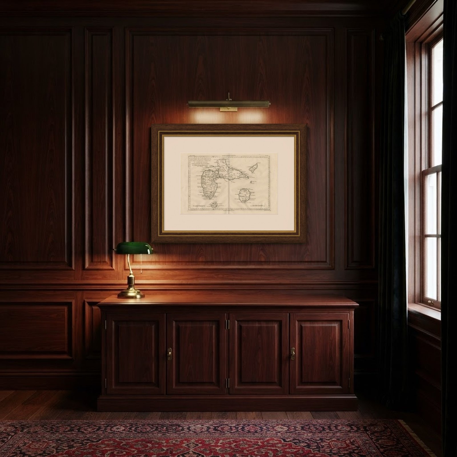
Frame and rooms are illustrations of how the piece could look; it is sold unframed unless the description says otherwise.
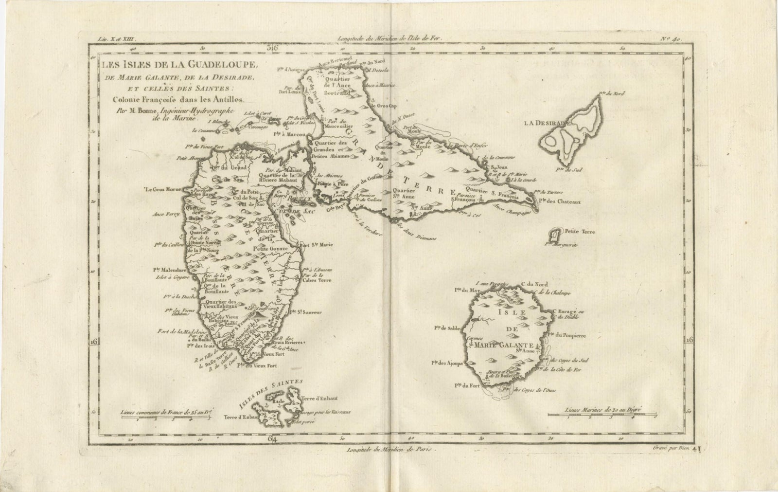
Antique Map Guadeloupe & Marie Galante, Rigobert Bonne Caribbean Chart c1780
£245
$325 · €290
Original print, not a reproduction.
Ships worldwide from the Netherlands, flat, insured and tracked. 14-day returns.
- Date
- 1780
- Sheet size
- 10.2 × 16.1 in (26 × 41 cm)
- Condition
- Good. Good antique condition with age-related toning and light paper wear consistent with eighteenth-century prints; visible central fold as issued; minor scattered spotting typical for the period; margins remain generous and suitable for framing.
- Collection
- Sea charts
- Era
- 1700 to 1789, Age of discovery
- Stock no.
- f_48704472
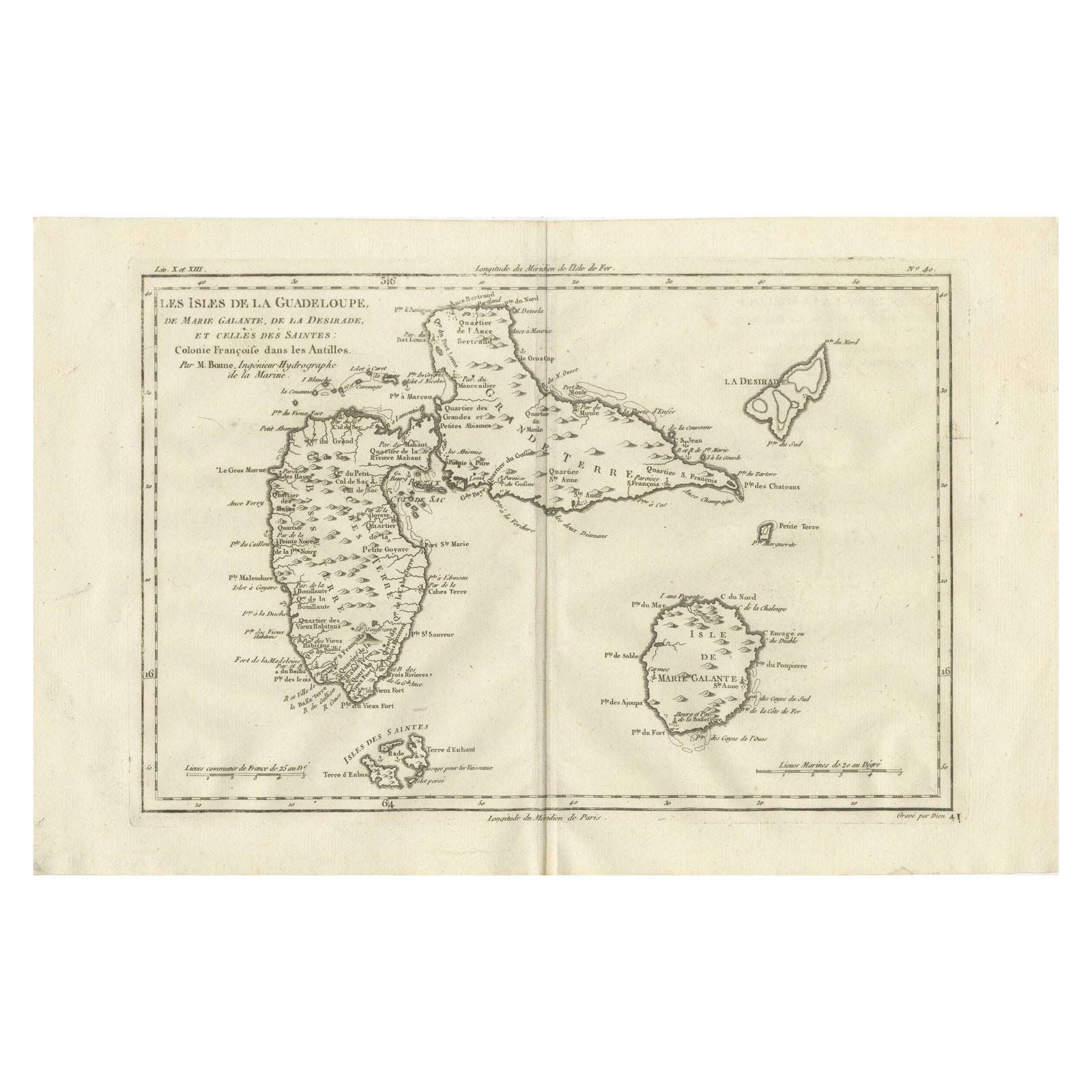
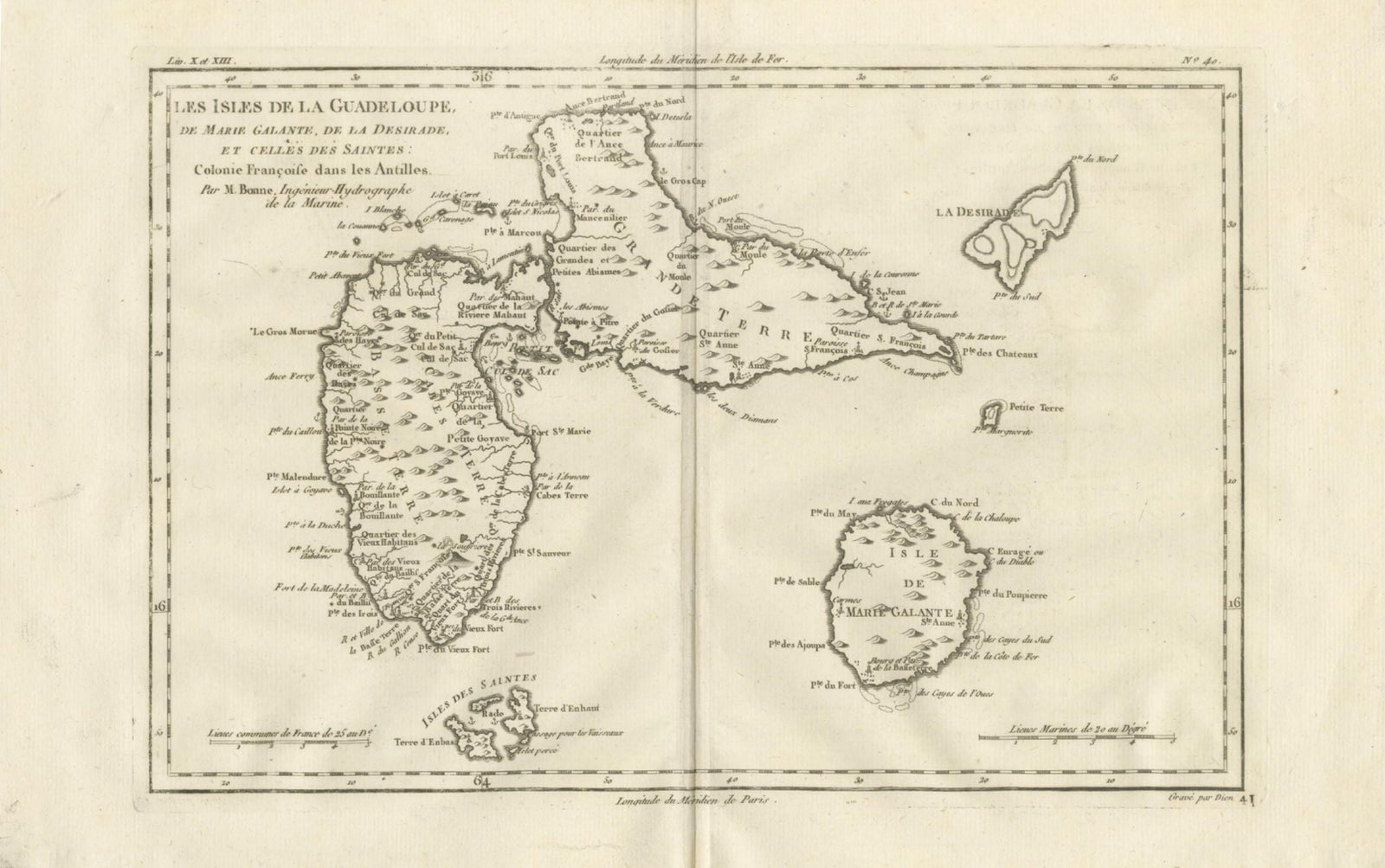
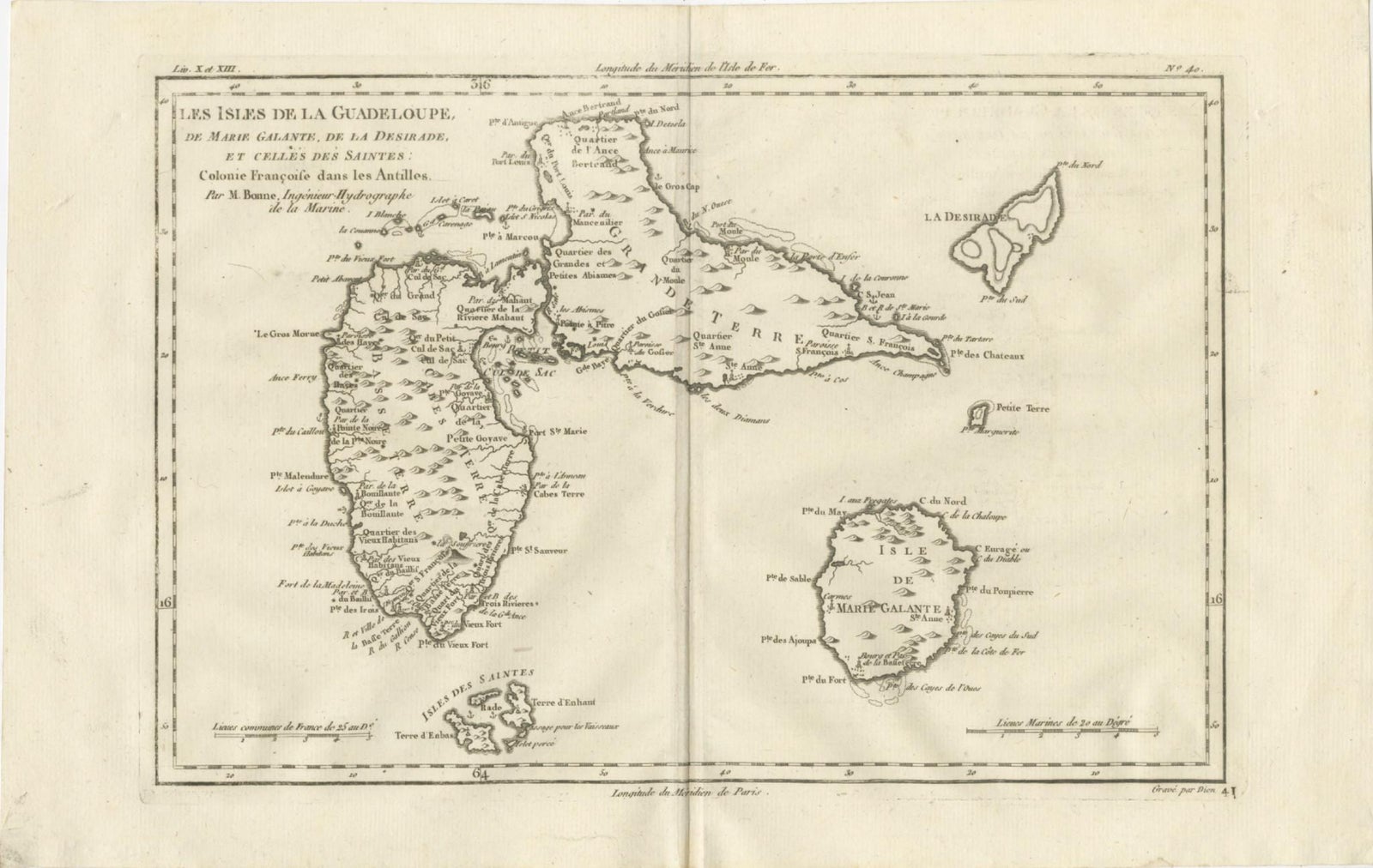
Guadeloupe and its dependencies, a copper engraving by Rigobert Bonne, circa 1780, titled "Les Isles de la Guadeloupe, de Marie Galante, de la Désirade, et celles des Saintes, Colonie Françoise dans les Antilles," credited "Par M. Bonne, Ingénieur Hydrographe de la Marine." The sheet is printed in black without color.
The butterfly-shaped main island is drawn at the left, with Basse-Terre on the west and Grande-Terre curving to the northeast, divided by a narrow channel. Hachures suggest the relief, and the coast is lettered with points, capes, quarters and parish names. La Désirade appears at the upper right, Marie-Galante at the lower right, and the Îles des Saintes at the foot of Basse-Terre, with a small islet nearby. Scale bars for common French leagues and marine leagues sit at the bottom.
Bonne was hydrographer to the French navy at the Dépôt de la Marine in Paris, succeeding Jacques-Nicolas Bellin. Guadeloupe was a French colony of the Antilles, and the sheet names the quarters and parishes of the island group at the end of the 1770s.