Close-ups
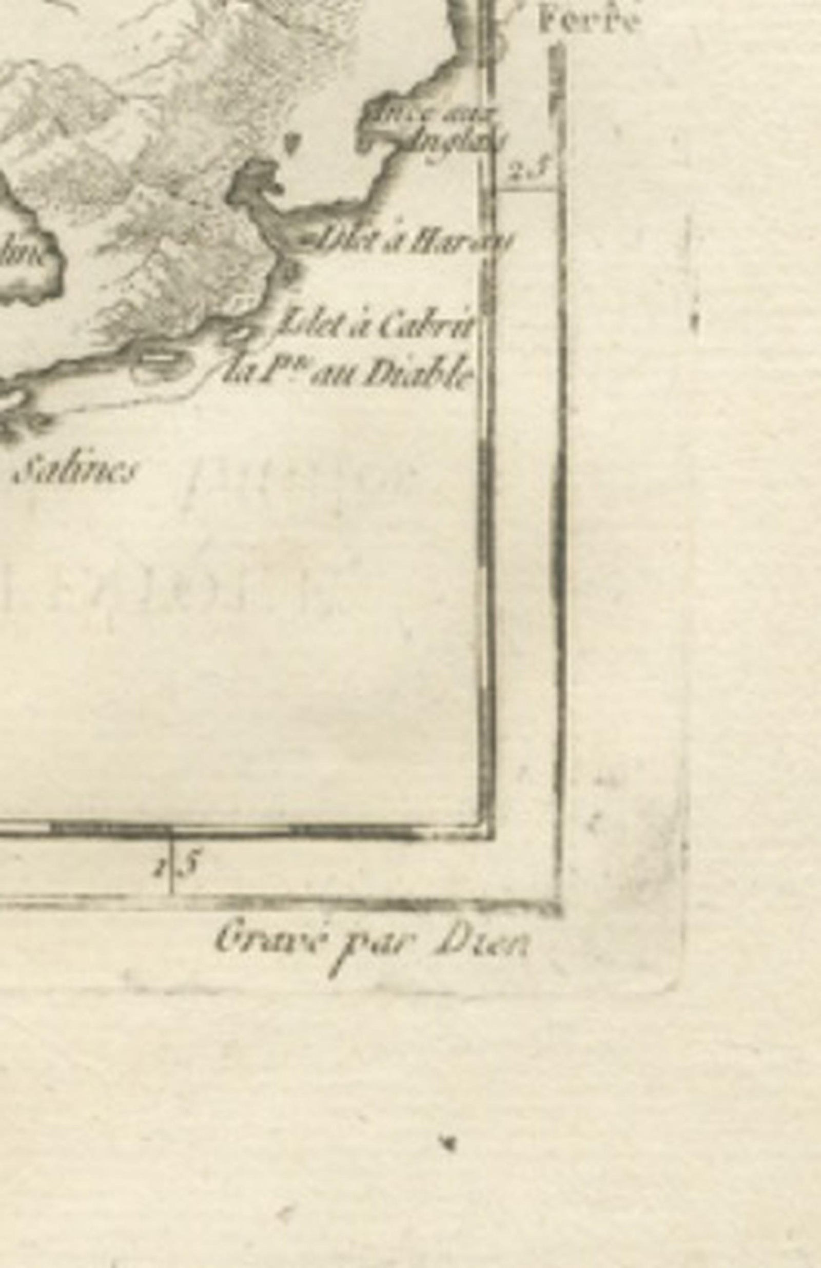
Framed and on the wall
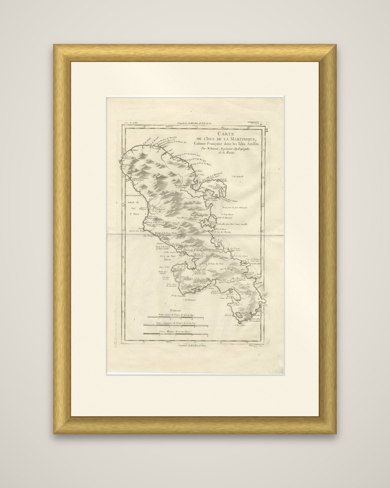
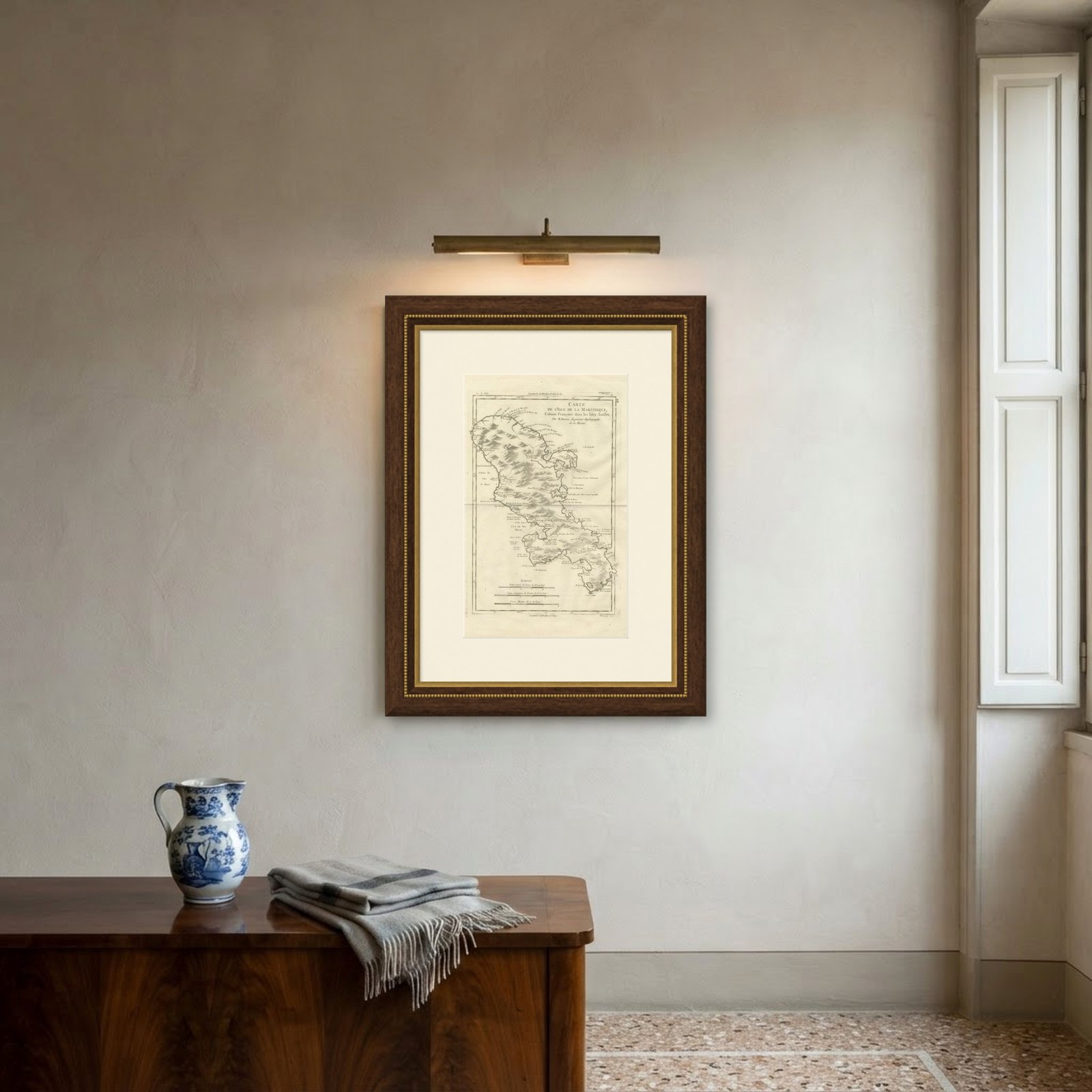
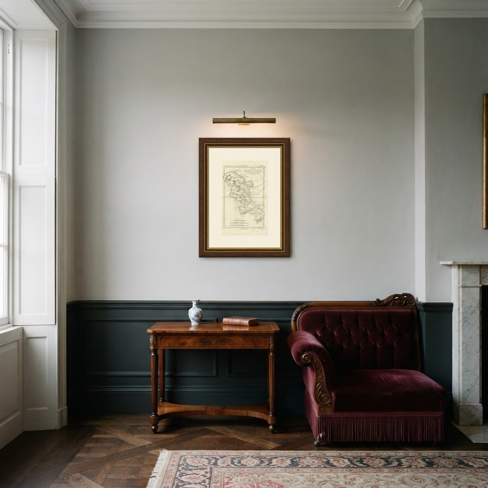
Frame and rooms are illustrations of how the piece could look; it is sold unframed unless the description says otherwise.
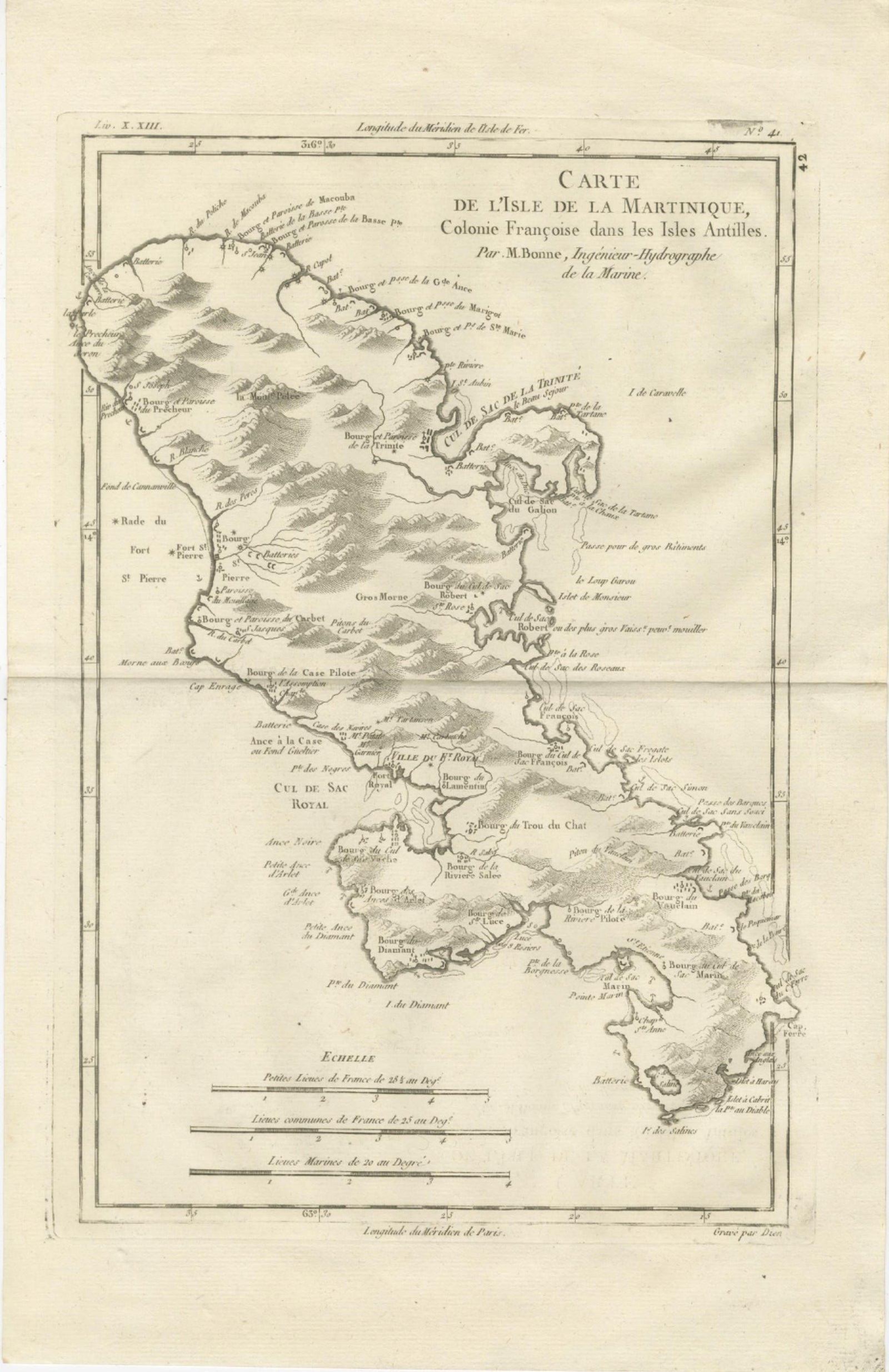
Antique Map Martinique Caribbean Island Chart, Rigobert Bonne French Map, c.1780
$315
€280 · £235
Original print, not a reproduction.
Ships worldwide from the Netherlands, flat, insured and tracked. 14-day returns. To buy, use Ask a question and we will reserve it for you.
- Date
- 1780
- Sheet size
- 16.1 × 10.2 in (41 × 26 cm)
- Condition
- Good. Good antique condition with age-related toning and light paper wear; visible original central fold as issued; minor scattered spotting and faint handling marks typical for eighteenth-century prints; margins remain generous and suitable for framing.
- Collection
- Sea charts
- Era
- 1700 to 1789, Age of discovery
- Stock no.
- f_48704512
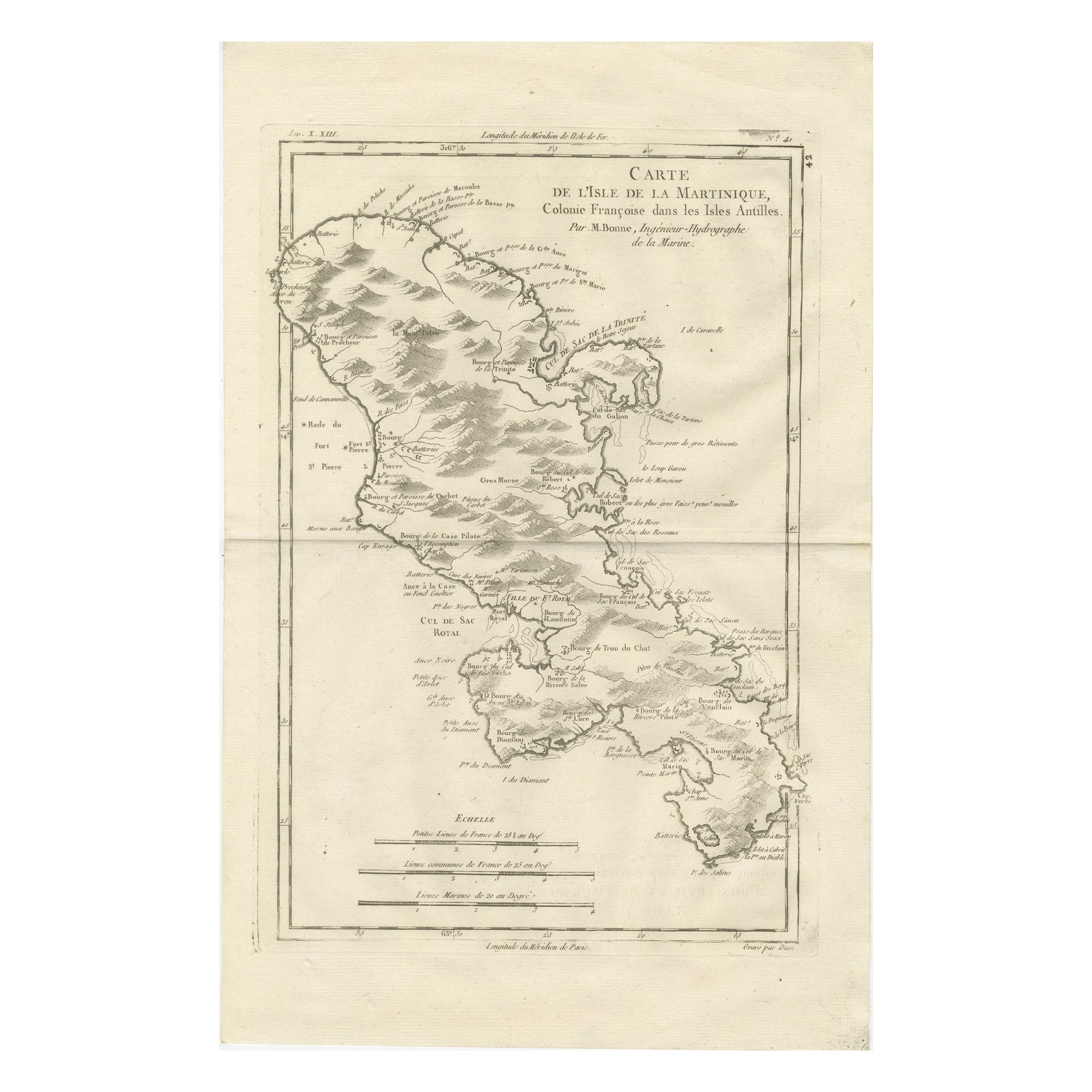
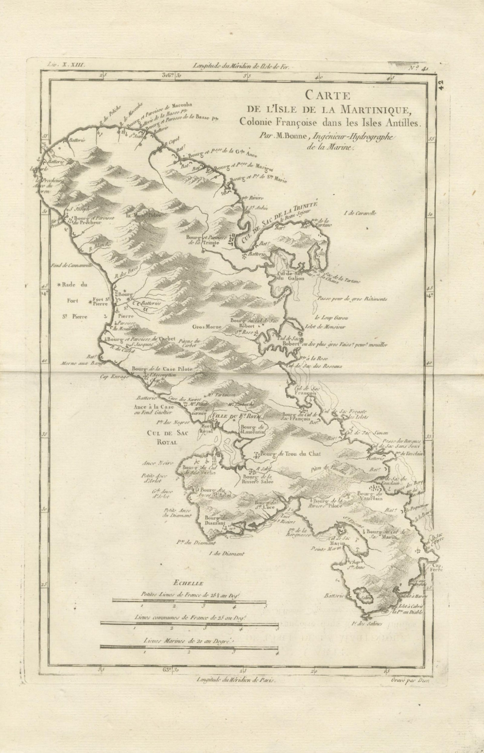
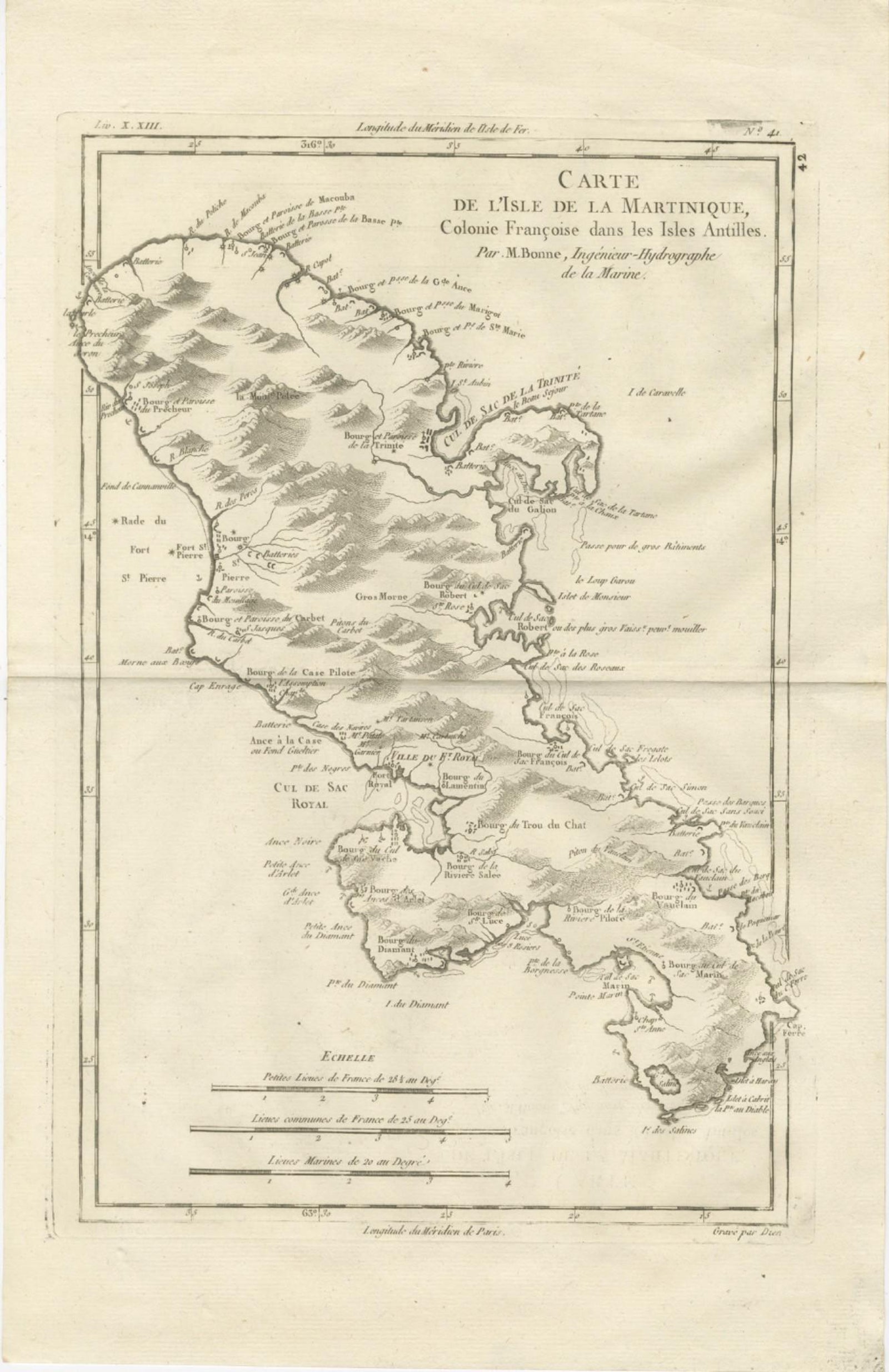
Martinique, a copper engraving by Rigobert Bonne, circa 1780, titled "Carte de l'Isle de la Martinique, Colonie Françoise dans les Isles Antilles," credited "Par M. Bonne, Ingénieur Hydrographe de la Marine." The sheet is printed in black without color, and the island is the sole subject.
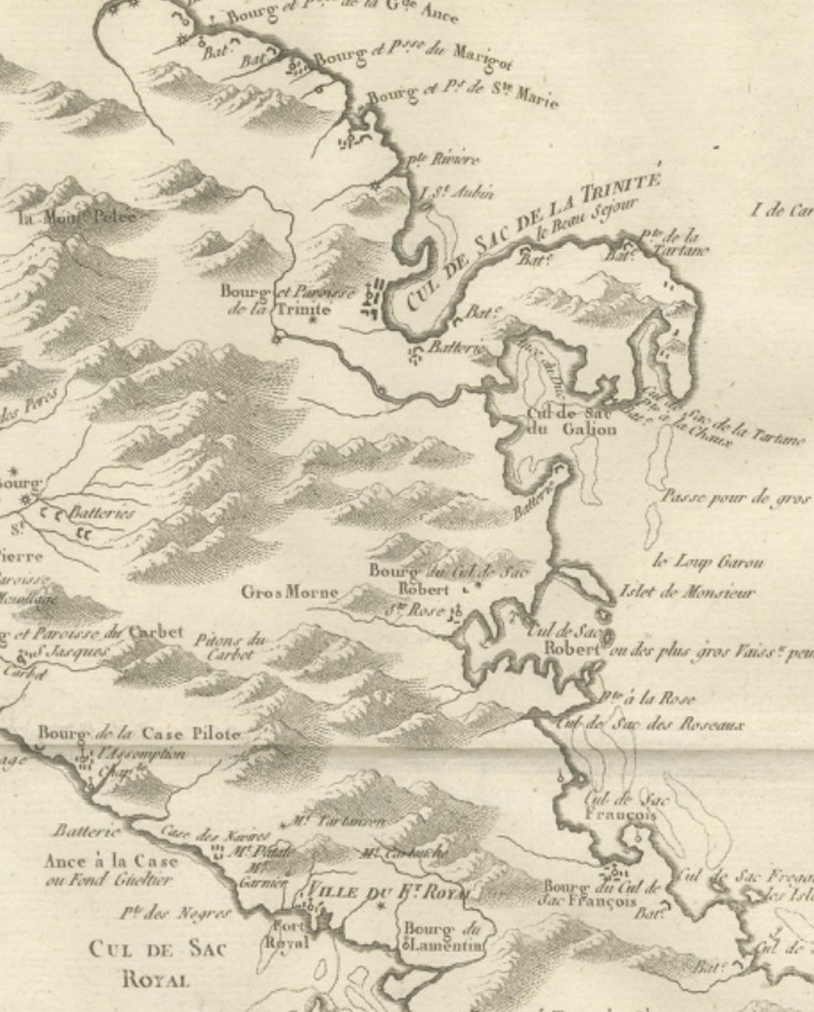
The island is shown on a tall sheet, with the mountainous north drawn in heavy hachured relief and the lower hills of the south in lighter strokes. Saint-Pierre on the west coast and Fort Royal (modern Fort-de-France) at the head of its bay are marked, along with the Cul-de-Sac Royal, Le Marin and La Trinité, and the coast is lettered with points, bays, parishes, batteries and anchorages. Rivers run from the hills to the sea. Three scale bars below the island give small French leagues, common French leagues and marine leagues, and the borders are lettered with latitude and longitude.
Bonne was hydrographer to the French navy at the Dépôt de la Marine in Paris, succeeding Jacques-Nicolas Bellin. Martinique was the principal French colony of the Windward Islands, and this sheet shows its harbors, settlements and coastal defenses.