Framed and on the wall
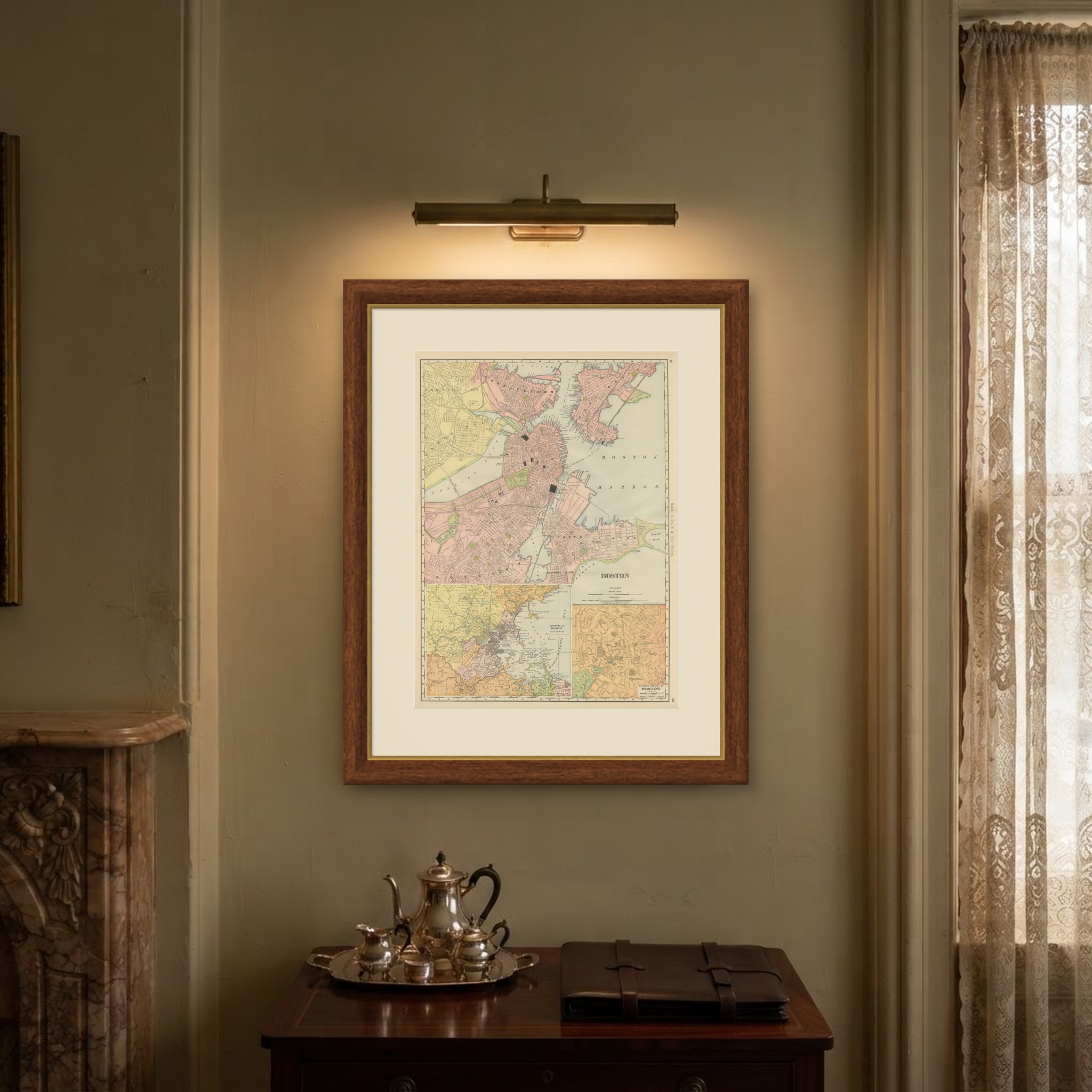
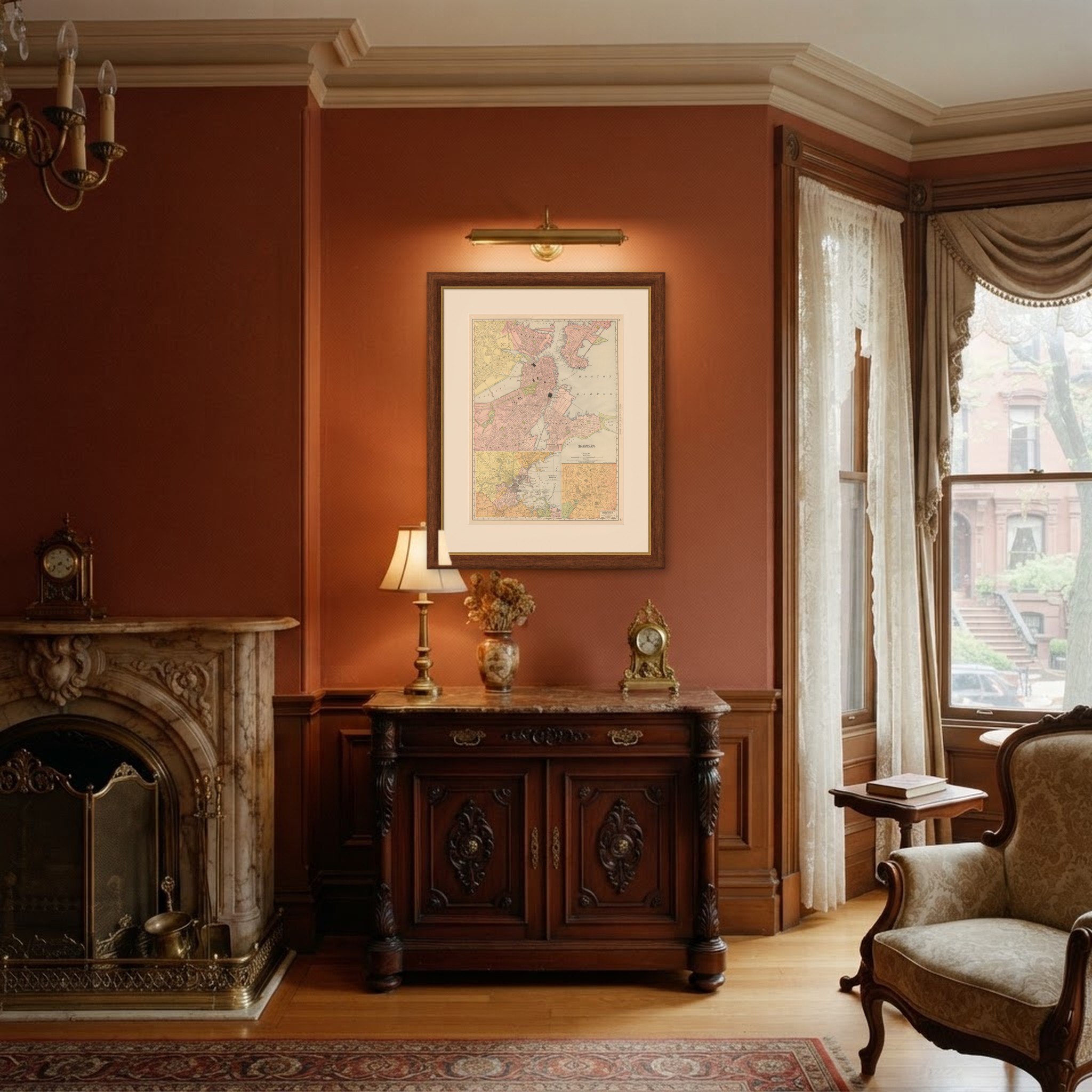
Frame and rooms are illustrations of how the piece could look; it is sold unframed unless the description says otherwise.
Antique Map of Boston, with Harbor and Environs Inset, Rand McNally, 1899
€395
$445 · £335
Original print, not a reproduction.
Ships worldwide from the Netherlands, flat, insured and tracked. 14-day returns.
- Date
- 1899
- Technique
- Lithograph
- Colouring
- Printed colour
- Condition
- Good. Good condition for its age. Light, even age toning, minor handling wear to the sheet edges and the original central fold as issued. Please review the images for further condition details.
- Collection
- Sea charts
- Era
- 1850 and after, Steam and steel
- Stock no.
- BG-12793-2-11
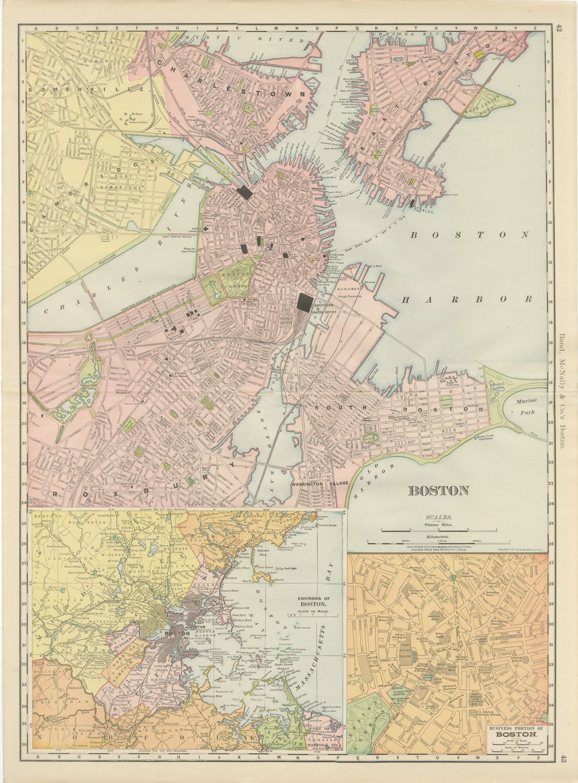
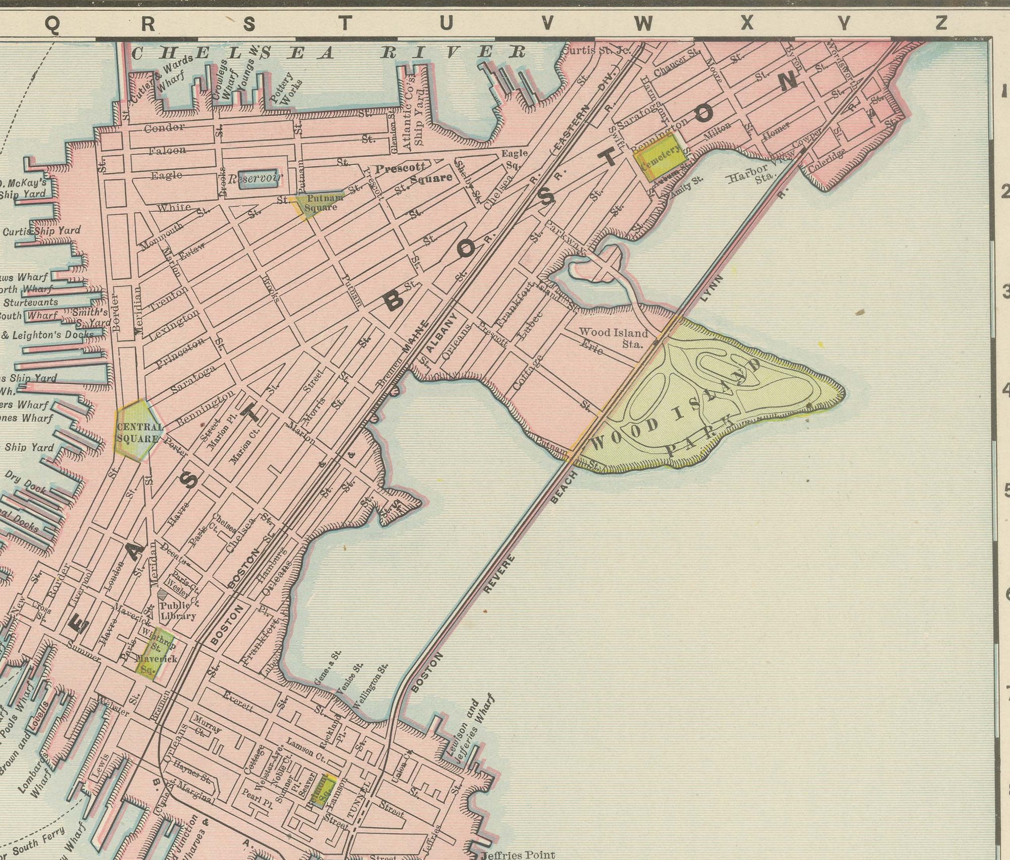
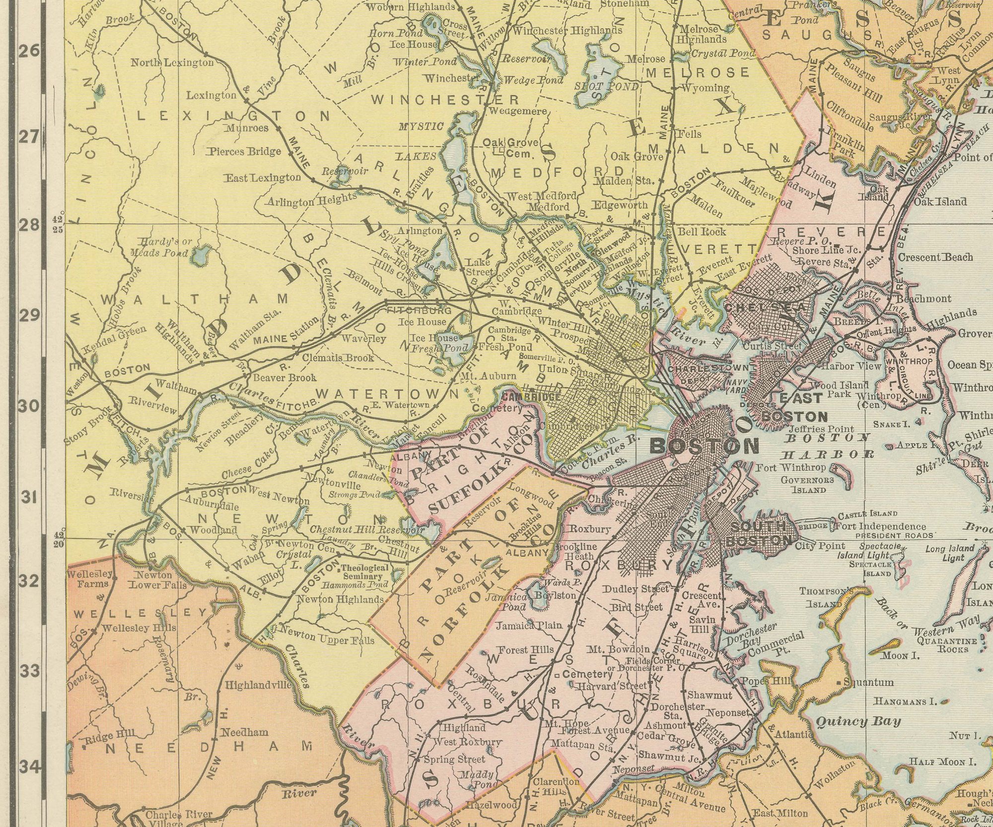
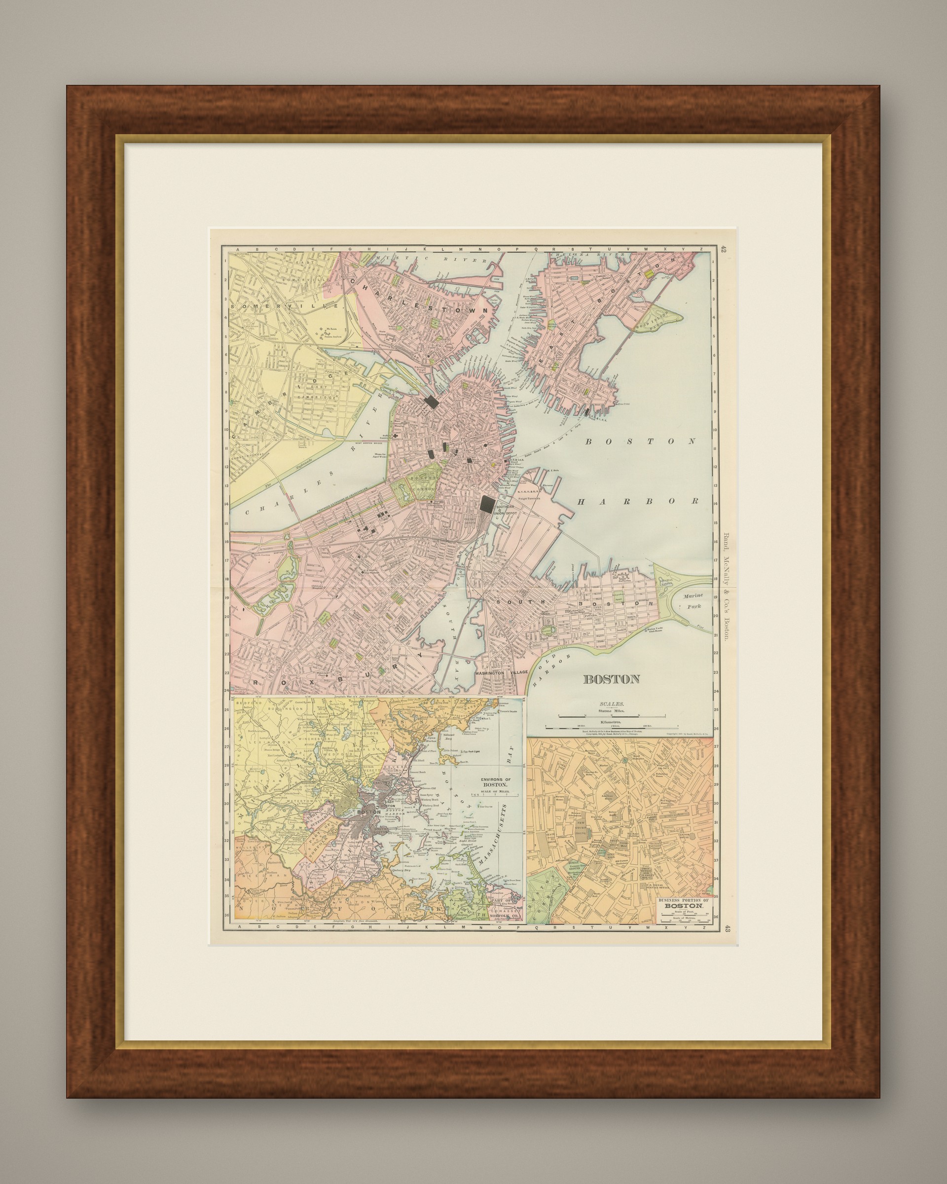
Published by Rand McNally in 1899, this antique map of Boston spreads the city across the full harbour on pages 42 and 43 of the indexed atlas, with two insets: the environs of Boston and an enlarged plan of the business district.
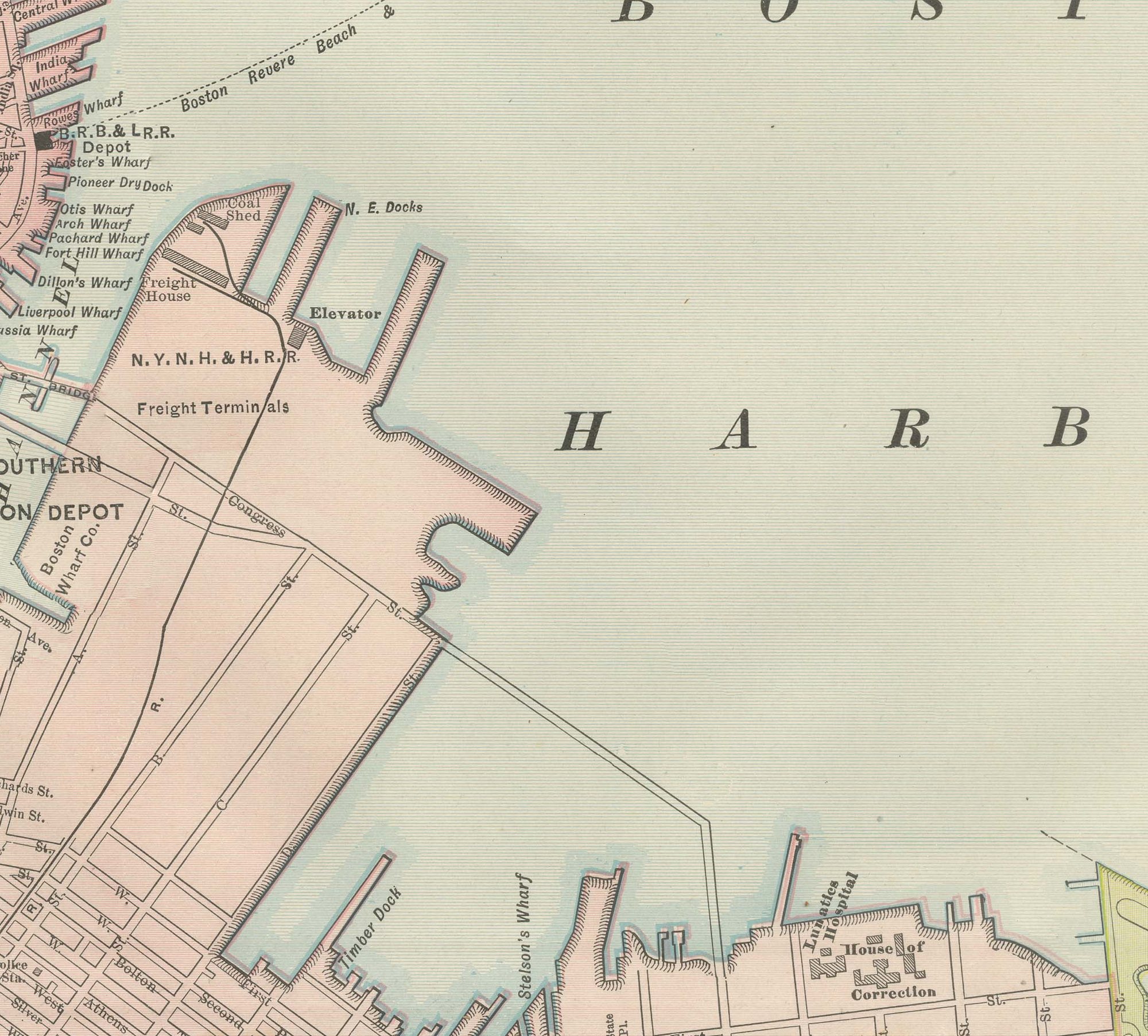
Charlestown and East Boston are printed in pink to the north across the Charles and the inner channels of the harbour, Cambridge and Somerville in yellow to the west, and South Boston and Roxbury fill the southern half of the sheet down towards Dorchester Bay. Boston Common and the Public Garden are marked as green rectangles, and the Southern Union Depot is shown just south of the built-up commercial core, the terminal that consolidated several of the city's earlier stations. Marine Park and the Boston Yacht Club House are marked along the South Boston shore.
The inset in the lower left, "Environs of Boston", pulls back to show the wider ring of suburbs, Lexington, Winchester, Melrose, Everett, Chelsea and Quincy among them, together with the harbour islands out towards Nantasket. The inset in the lower right, "Business Portion of Boston", enlarges the downtown core around the old State House and Custom House at a scale fine enough to pick out individual buildings. The plate is captioned as the firm's New Business Atlas Map of Boston, copyrighted in the early 1890s, with scale bars in statute miles and kilometres at the centre of the sheet.
The publisher, Rand, McNally and Company of Chicago, began as a printing business founded by William Rand in the 1850s and joined by Andrew McNally. By the time of the 1899 indexed atlas it ranked among the leading American map publishers, known above all for railroad and commercial maps that were revised from one issue to the next.
The sheet is a colour lithograph, the outline printed in black and every colour printed over it rather than applied by hand. Once framed, this antique map of Boston would suit a home or office in the city today, and it will appeal to collectors of American city plans and local history.
The sheet is in good condition for its age, with light, even age toning, minor handling wear to the sheet edges and the original central fold as issued. Please review the images for further condition details.
This is an original antique map, not a modern reproduction. This item is sold unframed. Any framed or interior images are shown for presentation and inspiration only, unless the listing explicitly states that the item is sold framed.
EXPLORE