Close-ups
Framed and on the wall
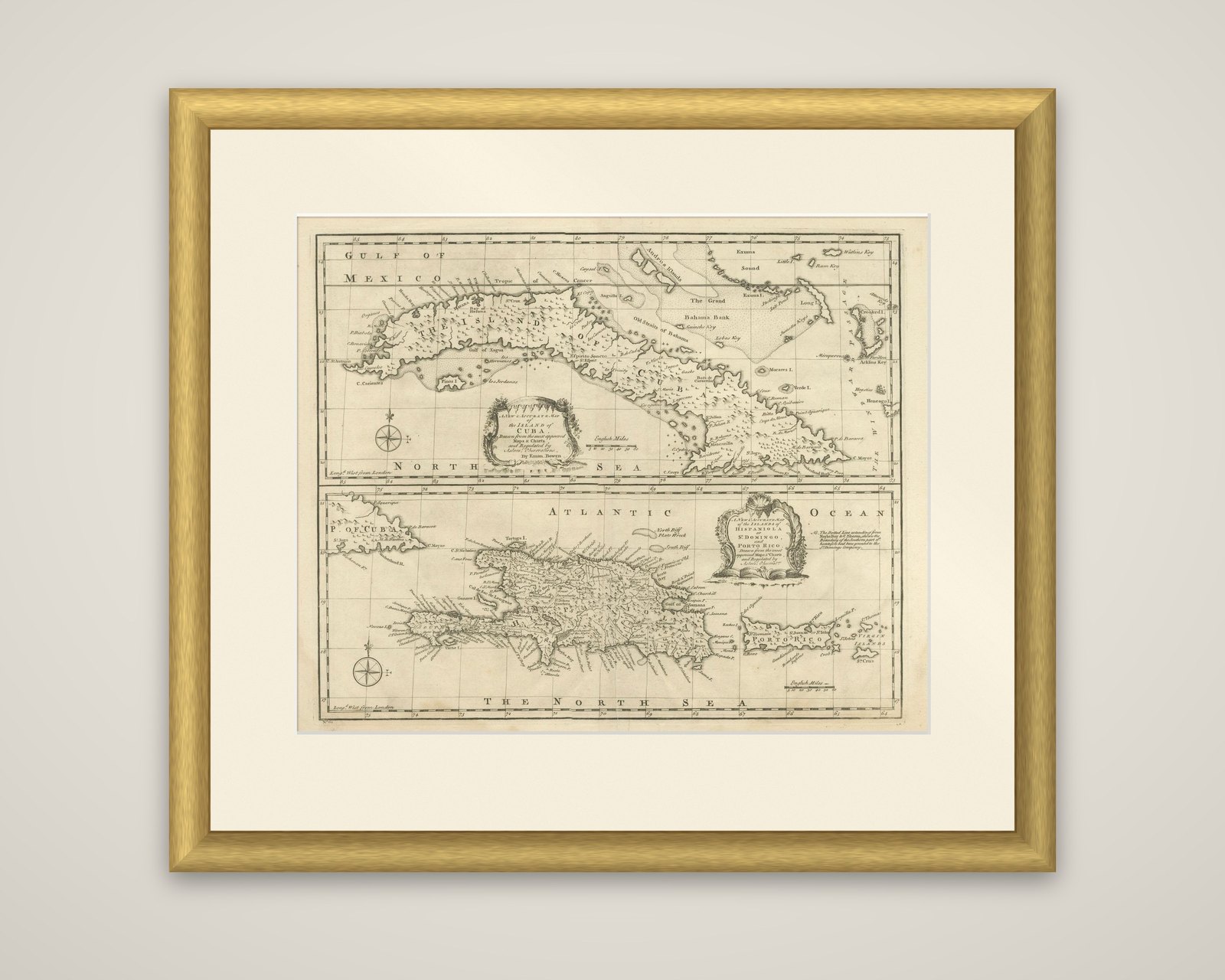


Frame and rooms are illustrations of how the piece could look; it is sold unframed unless the description says otherwise.
Antique Map of Cuba & Hispaniola, Caribbean Sea Chart by Bowen, 1744
£745
$985 · €880
Original print, not a reproduction.
Ships worldwide from the Netherlands, flat, insured and tracked. 14-day returns. To buy, use Ask a question and we will reserve it for you.
- Date
- 1744
- Sheet size
- 16.3 × 18.8 in (41.5 × 47.8 cm)
- Condition
- Good, given age. Light soiling and creasing. General age-related toning and/or occasional minor defects from handling. Vertical folding lines in the center and damp stains at the lower end. Please study scan carefully.
- Collection
- Sea charts
- Era
- 1700 to 1789, Age of discovery
- Stock no.
- f_40297992
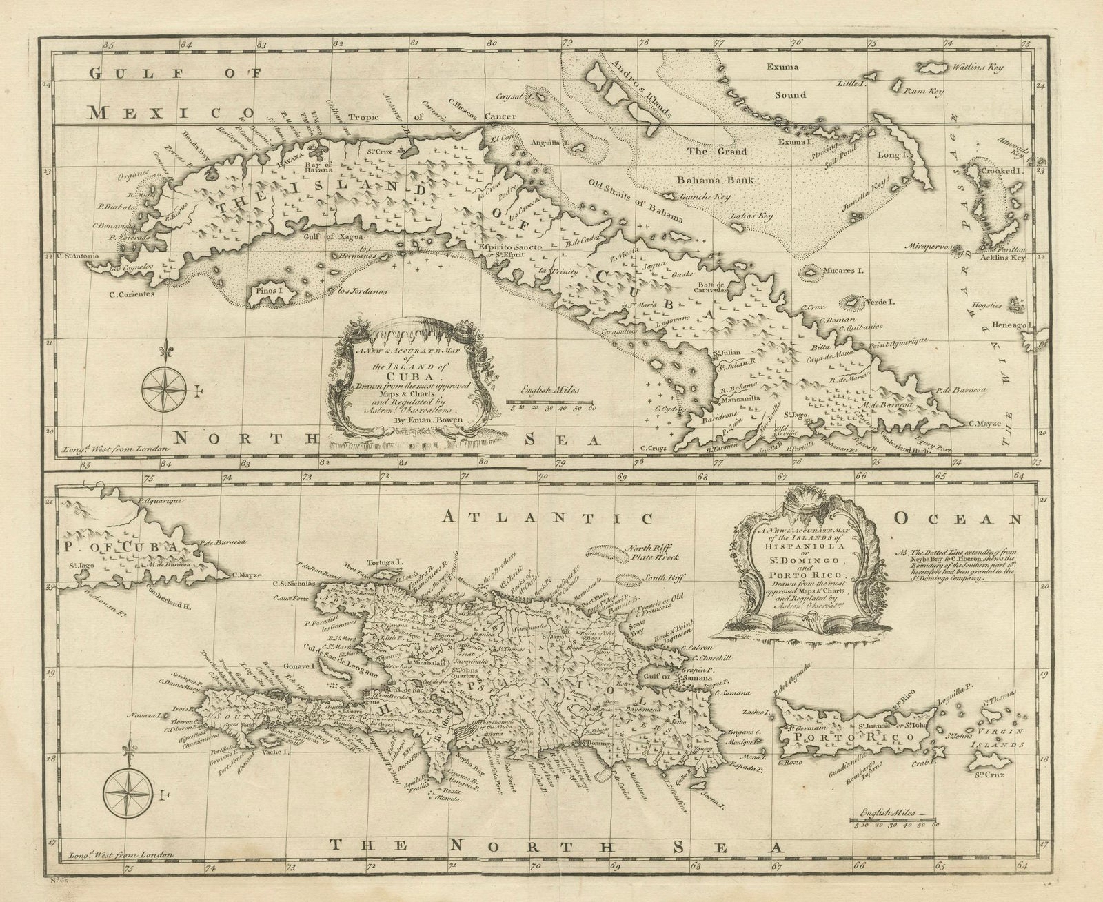
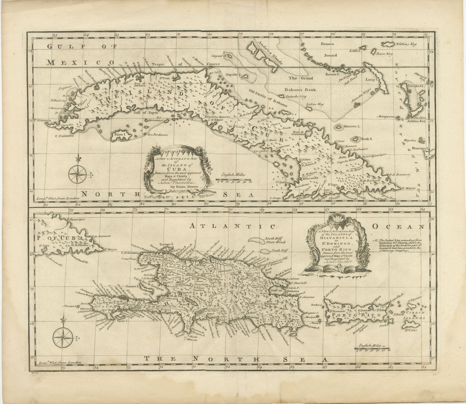
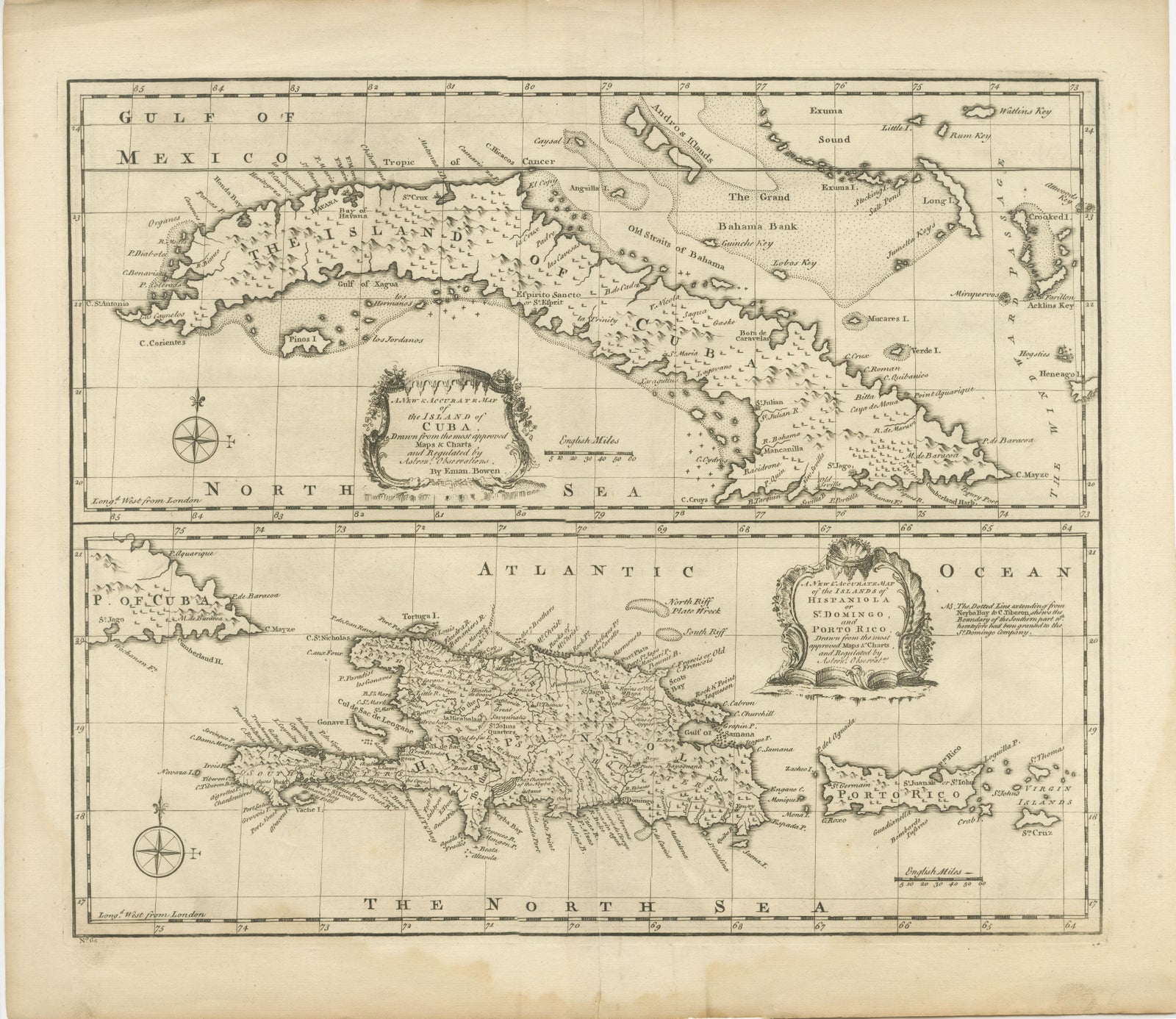
Cuba, Hispaniola and Puerto Rico on a single sheet, an original copper engraving by Emanuel Bowen of London, dated circa 1744. The sheet is printed in black without color and is divided into two stacked maps.
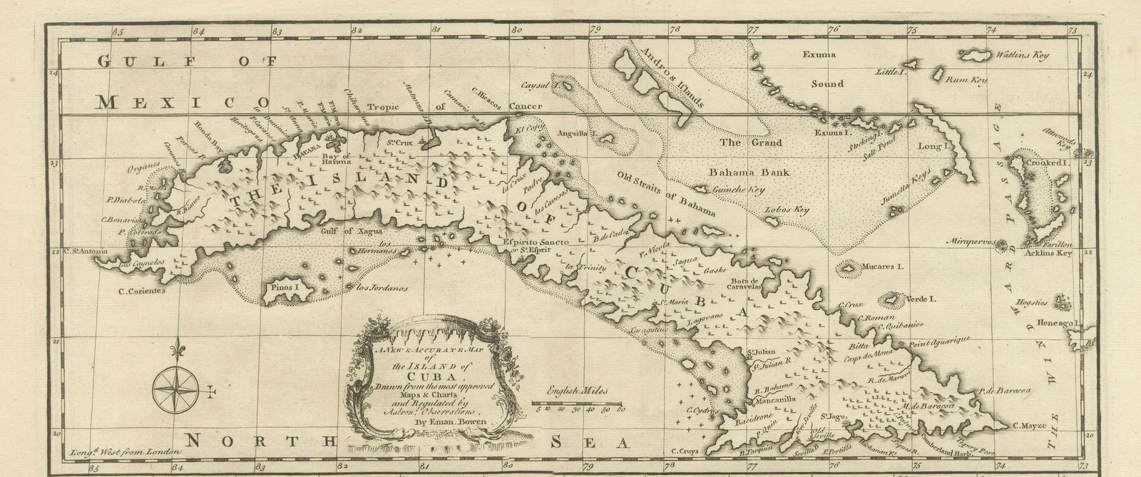
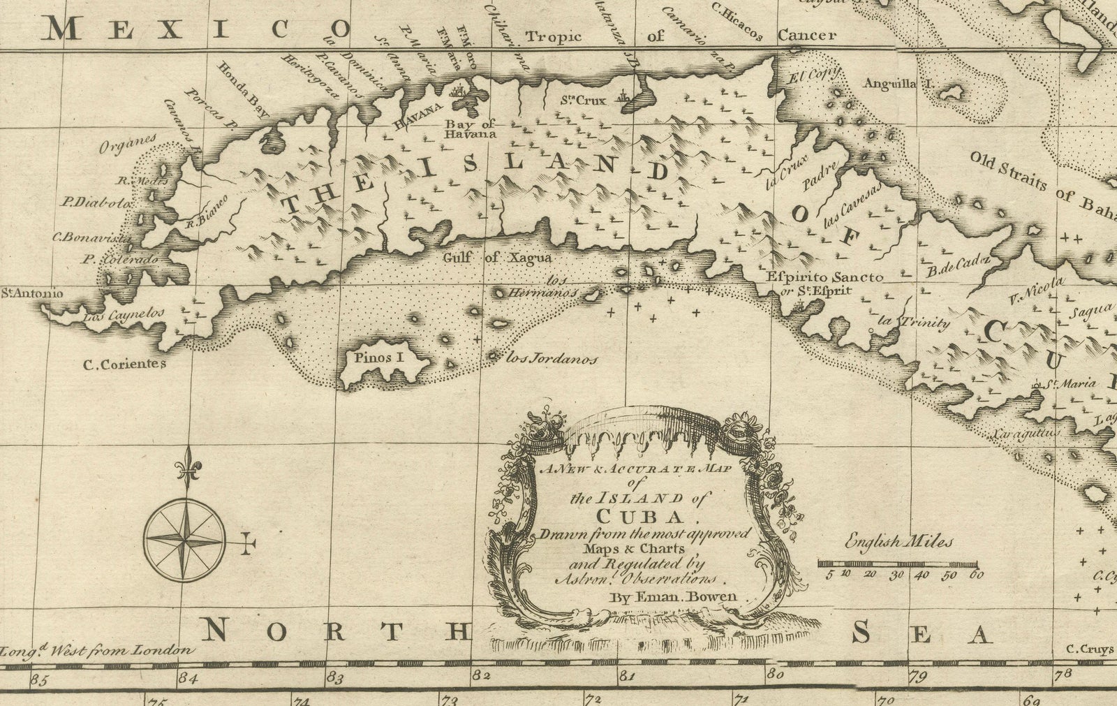
The upper map shows the whole of Cuba, from Cape Antonio at the western end to the eastern tip, with the Gulf of Mexico and the Tropic of Cancer to the north, the Bahama Bank and the Old Straits of Bahama, and the Turks and Caicos at the right edge. Reefs, keys, shoals and soundings are drawn along the coast. A title cartouche, "A New & Accurate Map of the Island of Cuba", credits Bowen and states that it is drawn from the most approved maps and charts and regulated by astronomical observations.
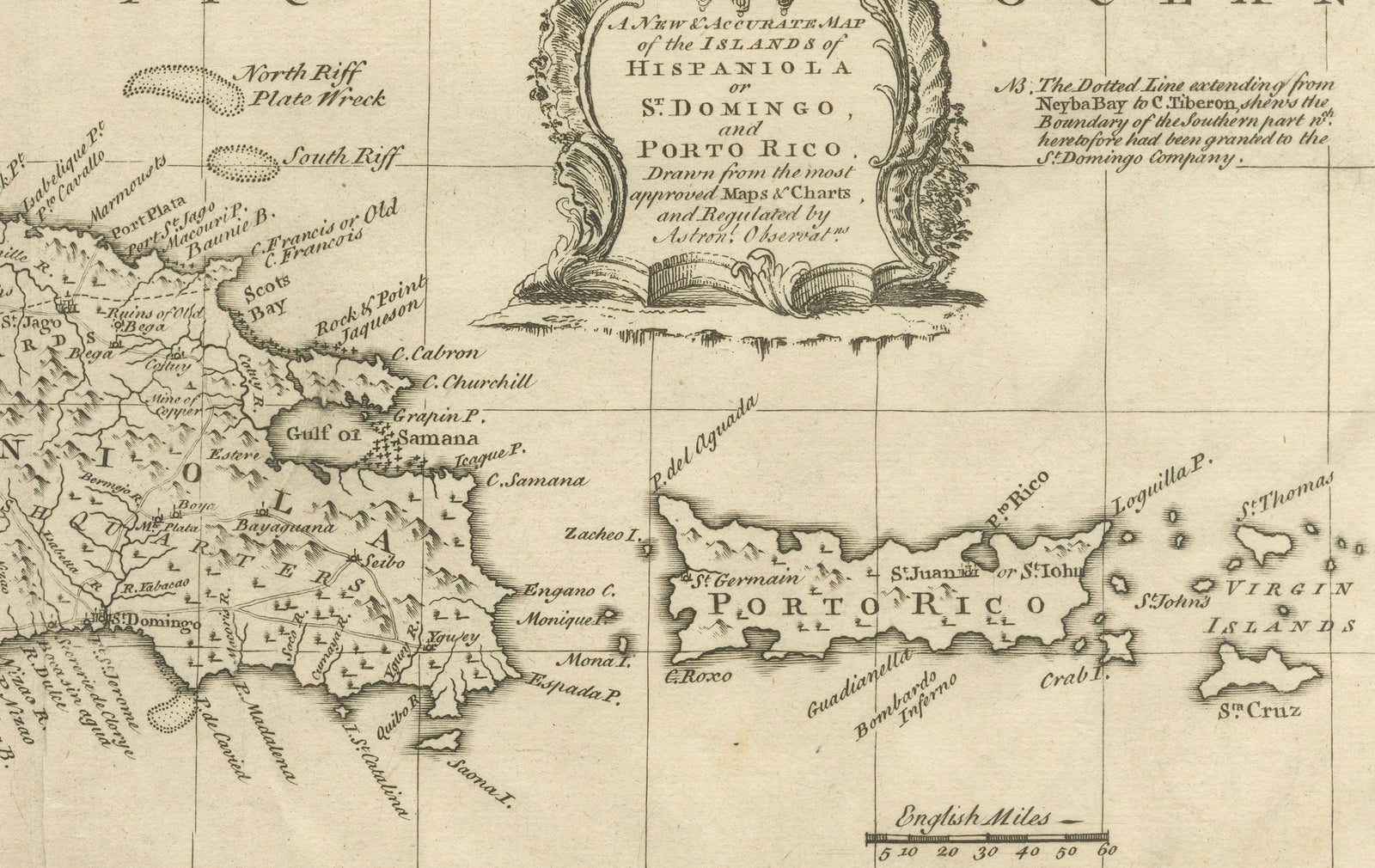
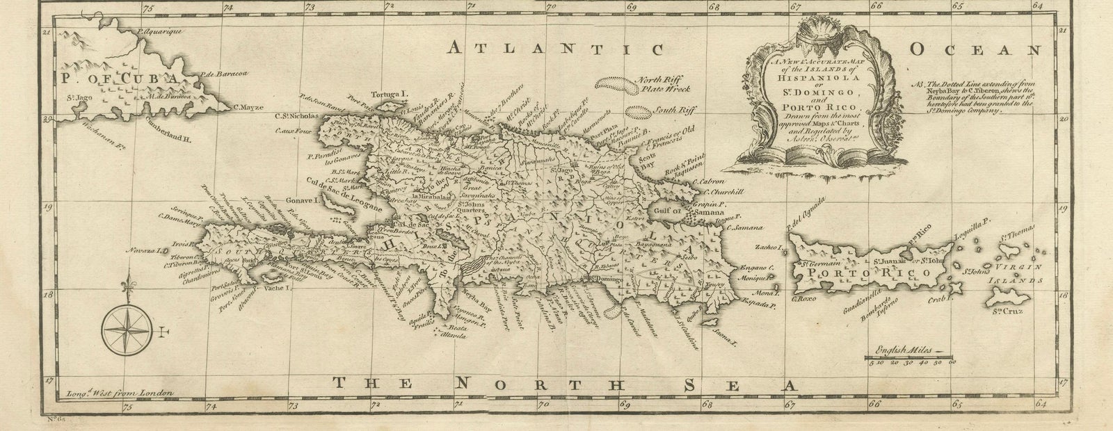
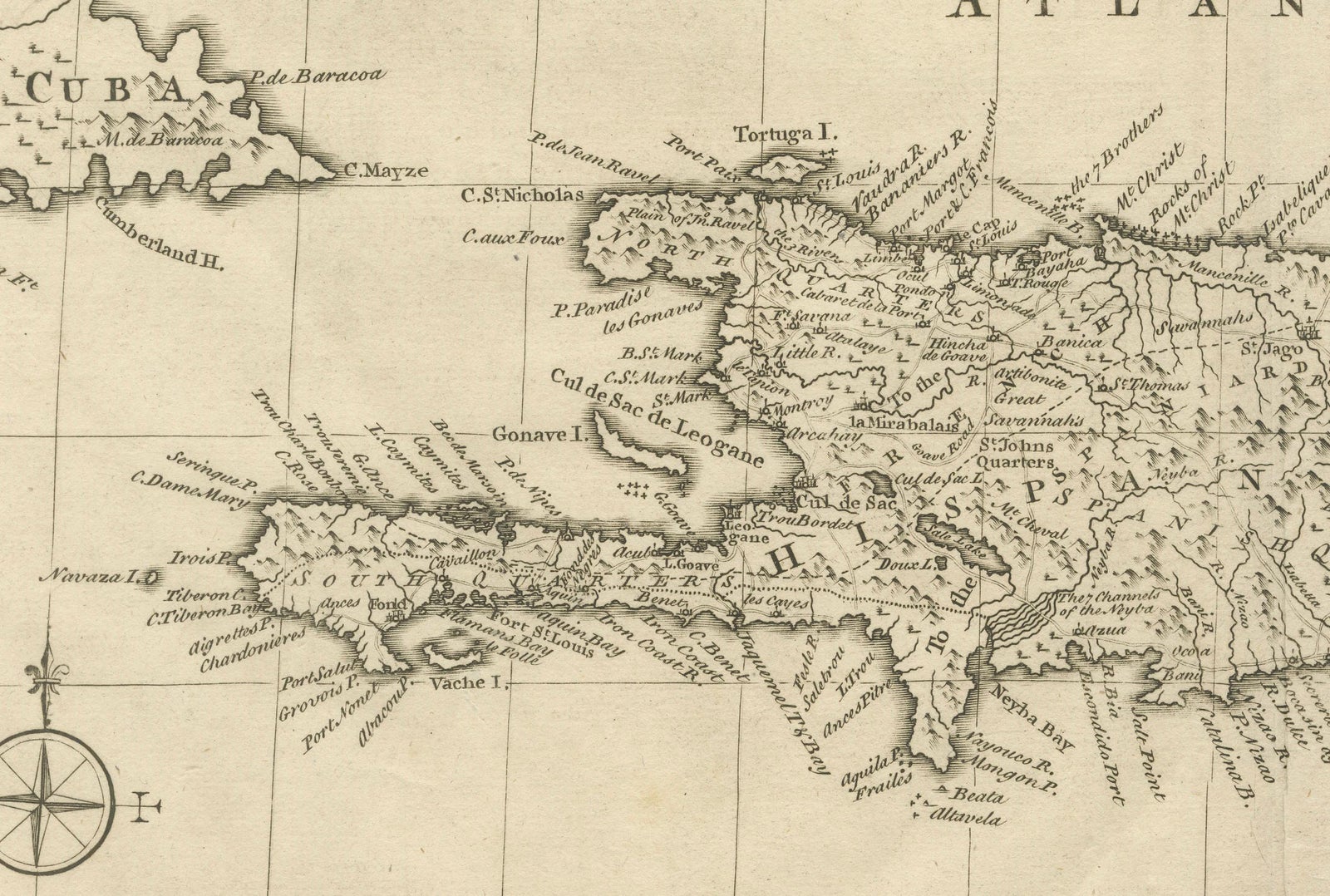
The lower map covers Hispaniola, here "Hispaniola or St Domingo", and "Porto Rico", with the Virgin Islands to the east and the tip of Cuba at the left. It has its own cartouche, compass rose and scale of English miles, and the imprint reads "Emanuel Bowen... from London".
EXPLORE