Close-ups
Framed and on the wall
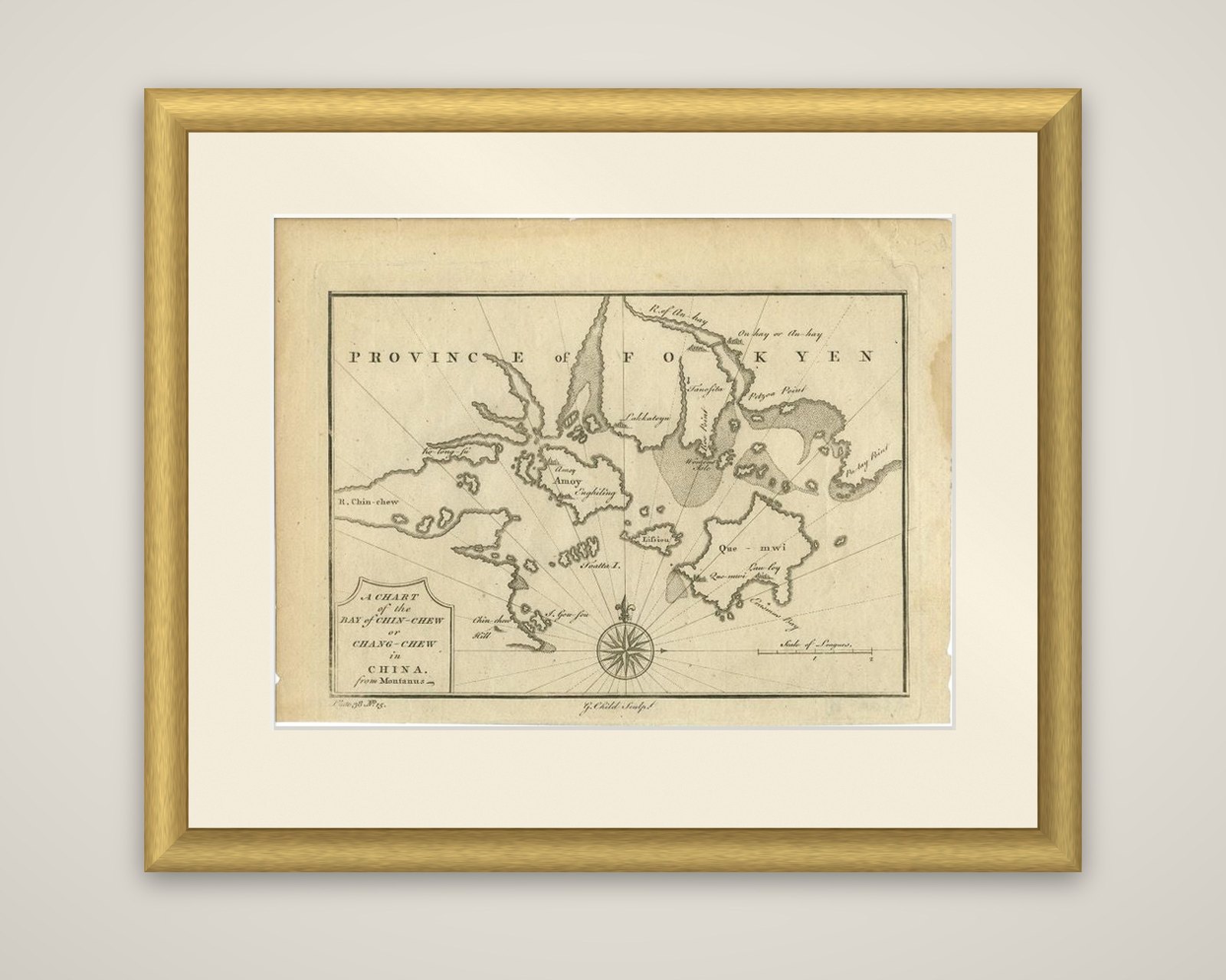

Frame and rooms are illustrations of how the piece could look; it is sold unframed unless the description says otherwise.
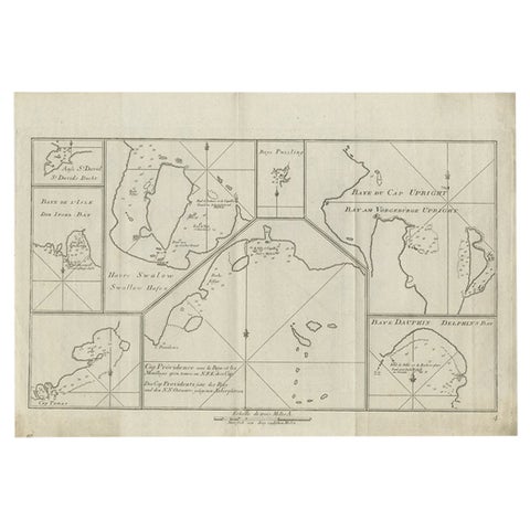
Antique Map of the Bay of Cordes and Surroundings by Hawkesworth, 1774
€112
$125 · £95
Original print, not a reproduction.
Ships worldwide from the Netherlands, flat, insured and tracked. 14-day returns. To buy, use Ask a question and we will reserve it for you.
- Date
- 1774
- Sheet size
- 9.6 × 16.5 in (24.5 × 42 cm)
- Condition
- Good
- Collection
- Voyages of discovery
- Era
- 1700 to 1789, Age of discovery
- Stock no.
- f_27775002
Four harbor charts from the Strait of Magellan region, titled "Baye et Havre de Cordes", an original copper engraving from the German edition of Hawkesworth's account of the voyages of Byron, Wallis, Carteret and Cook, published by Haude & Spener of Berlin in 1774. The charts illustrate John Byron's voyage in the Dolphin and show Cordes Bay, Port Famine, Woods Bay, Port Gallant and Fortescue Bay.
The sheet is a plate of small coastal plans drawn with soundings, anchorages and shorelines, giving the shapes of the bays and the positions where ships could anchor. The lettering is in French or German, with a scale of leagues for each chart.
Byron's circumnavigation of 1764 to 1766 passed through the Strait of Magellan, and plans of this kind were made so that later ships could find the same safe harbors.