Close-ups
Framed and on the wall
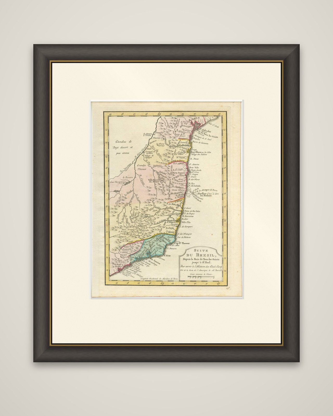
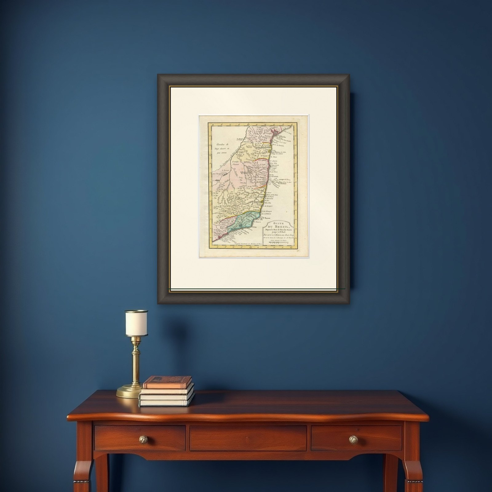

Frame and rooms are illustrations of how the piece could look; it is sold unframed unless the description says otherwise.
Antique Map of the Brazilian Coast by A. Van Krevelt
£295
$390 · €350
Original print, not a reproduction.
Ships worldwide from the Netherlands, flat, insured and tracked. 14-day returns.
- Date
- Not stated
- Sheet size
- 10.3 × 7.9 in (26.2 × 20 cm)
- Condition
- Good. Please study image carefully.
- Collection
- Sea charts
- Stock no.
- f_9529421
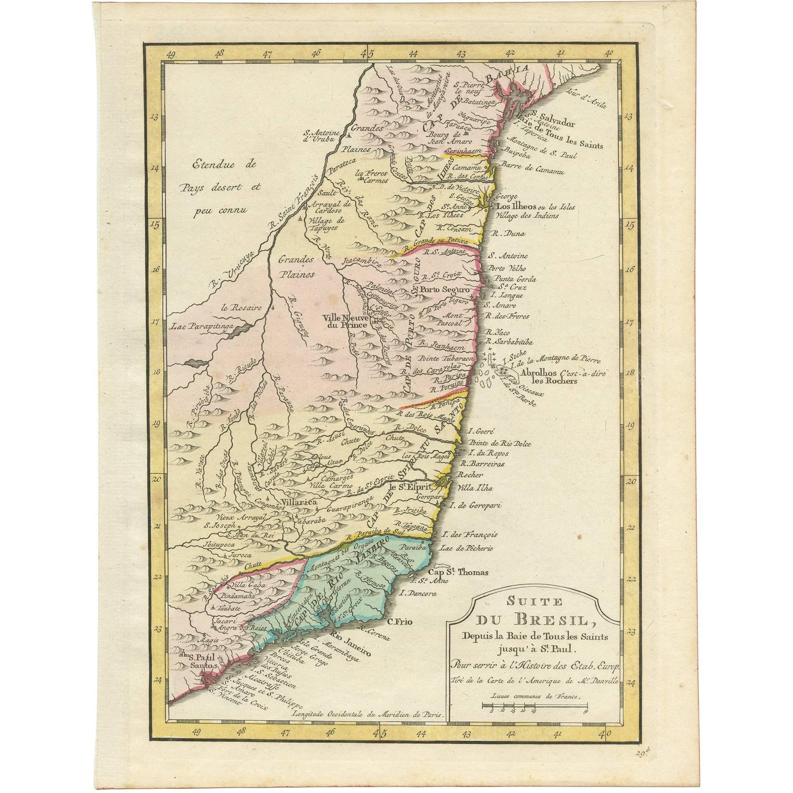
The coast of Brazil from Bahia to São Paulo, an engraved map titled "Suite du Bresil, depuis la Baie de Tous les Saints jusqu'à S. Paul", engraved by A. van Krevelt in 1772 and based on the work of Jean Baptiste Bourguignon d'Anville (1697-1782). The imprint reads "pour servir à l'Histoire des Etab. Europ.", and the map is lettered as drawn from d'Anville's map of America. It is hand colored in outline.
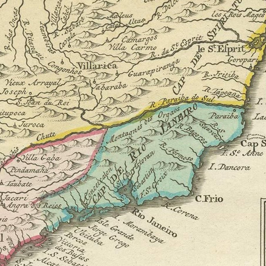
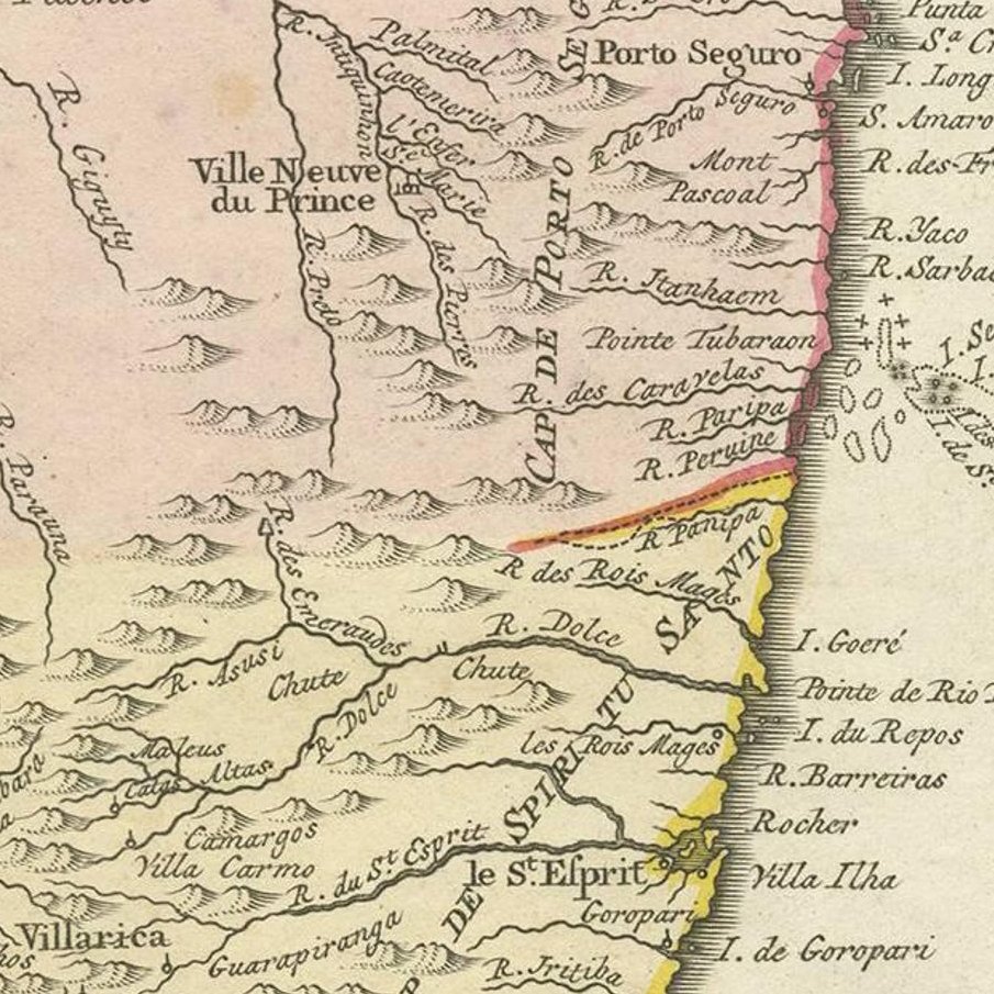
The sheet follows the Atlantic shore south from Salvador and the Bay of All Saints (Baía de Todos os Santos), with Porto Seguro, Espírito Santo, Cabo Frio and Rio de Janeiro marked, down to Santos at the foot. Rivers, hills and villages are drawn inland, where a block of lettering at upper left notes a large thinly known interior ("Étendue de Pays desert et peu connu"). A boundary line colors the coastal captaincies in pink, yellow, green and blue.
The title cartouche is at lower right, with a scale in French leagues, and the number "29b" is engraved in the corner. The map comes from an Amsterdam portable atlas on the history and commerce of Europeans in the two Indies.
EXPLORE