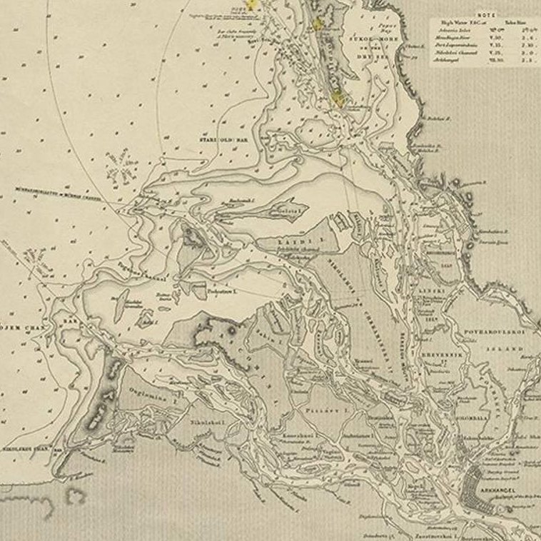
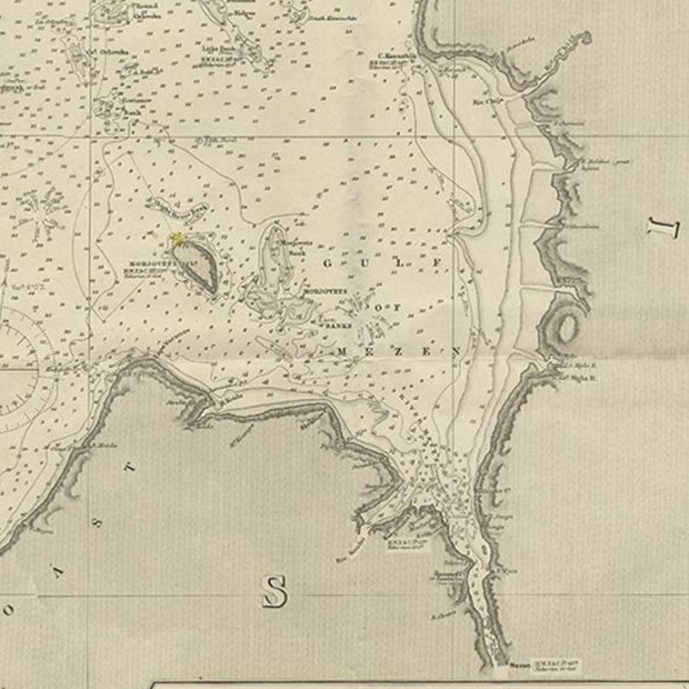
Close-ups
Framed and on the wall
Frame and rooms are illustrations of how the piece could look; it is sold unframed unless the description says otherwise.
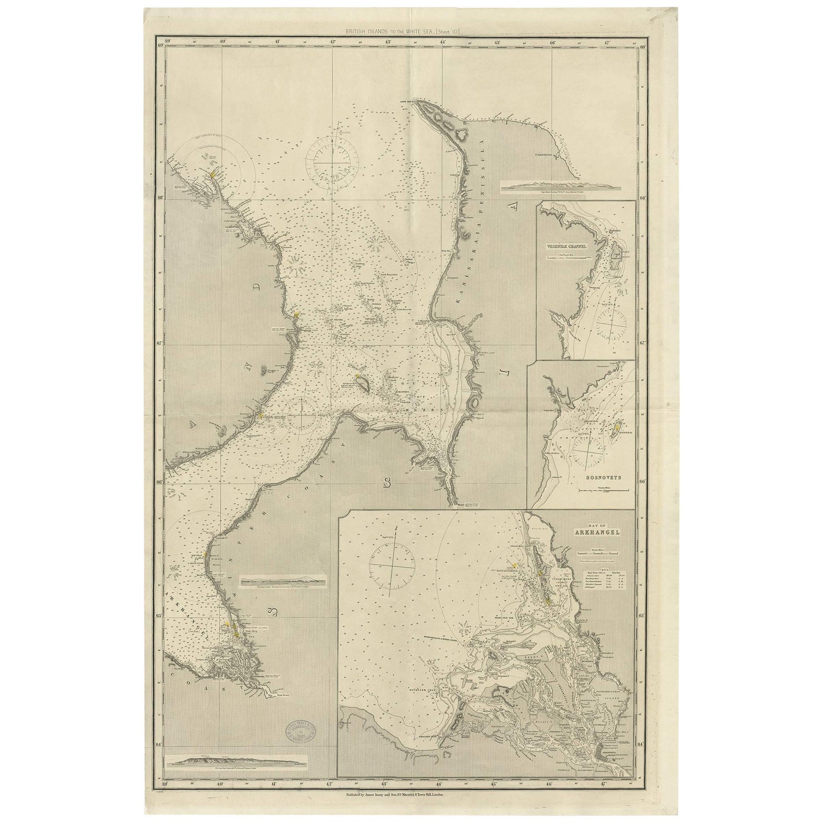
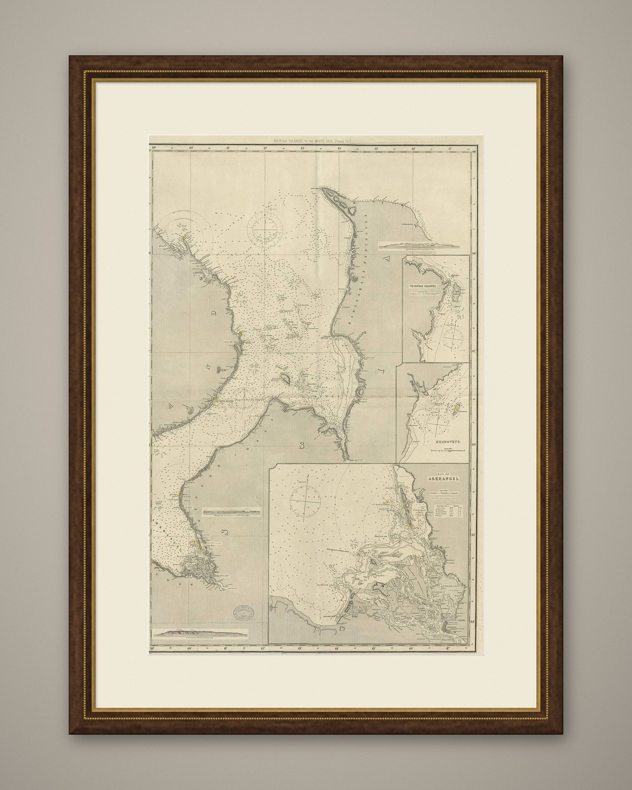
Antique Map of the British Islands to the White Sea by J. Imray
$515
€458 · £390
Original print, not a reproduction.
Ships worldwide from the Netherlands, flat, insured and tracked. 14-day returns.
- Date
- Not stated
- Sheet size
- 41.7 × 27.8 in (106 × 70.5 cm)
- Condition
- Good. Please study image carefully.
- Collection
- Sea charts
- Stock no.
- f_9826113
Antique large nautical chart of the British Islands to the White Sea. With insets of Veshnyak Channel, Sosnovets and the Bay of Arkhangel. Published by James Irmay and Son, circa 1875.