Close-ups
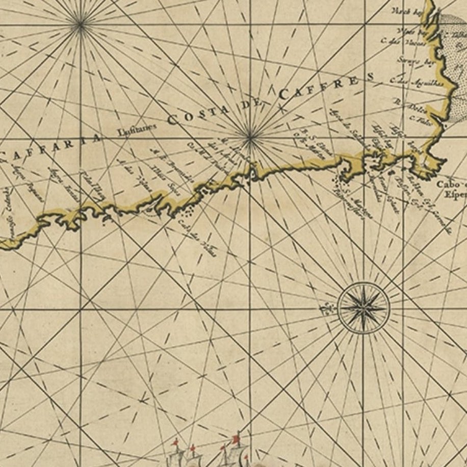
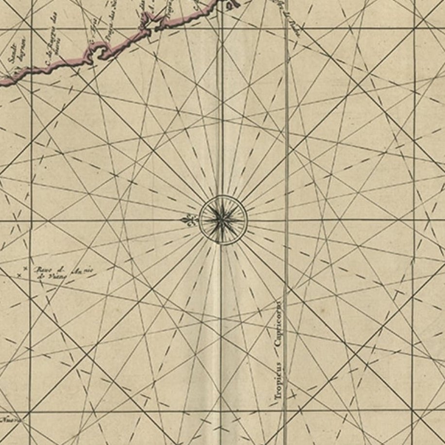
Framed and on the wall
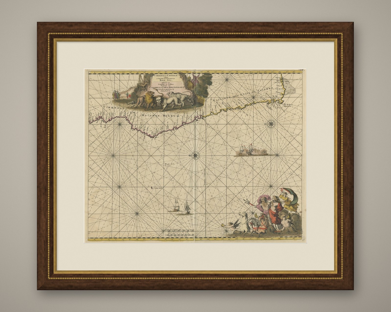
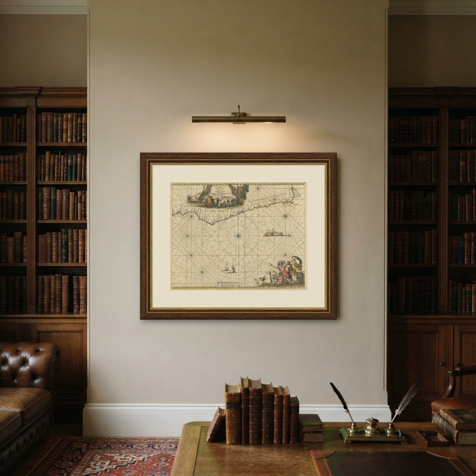
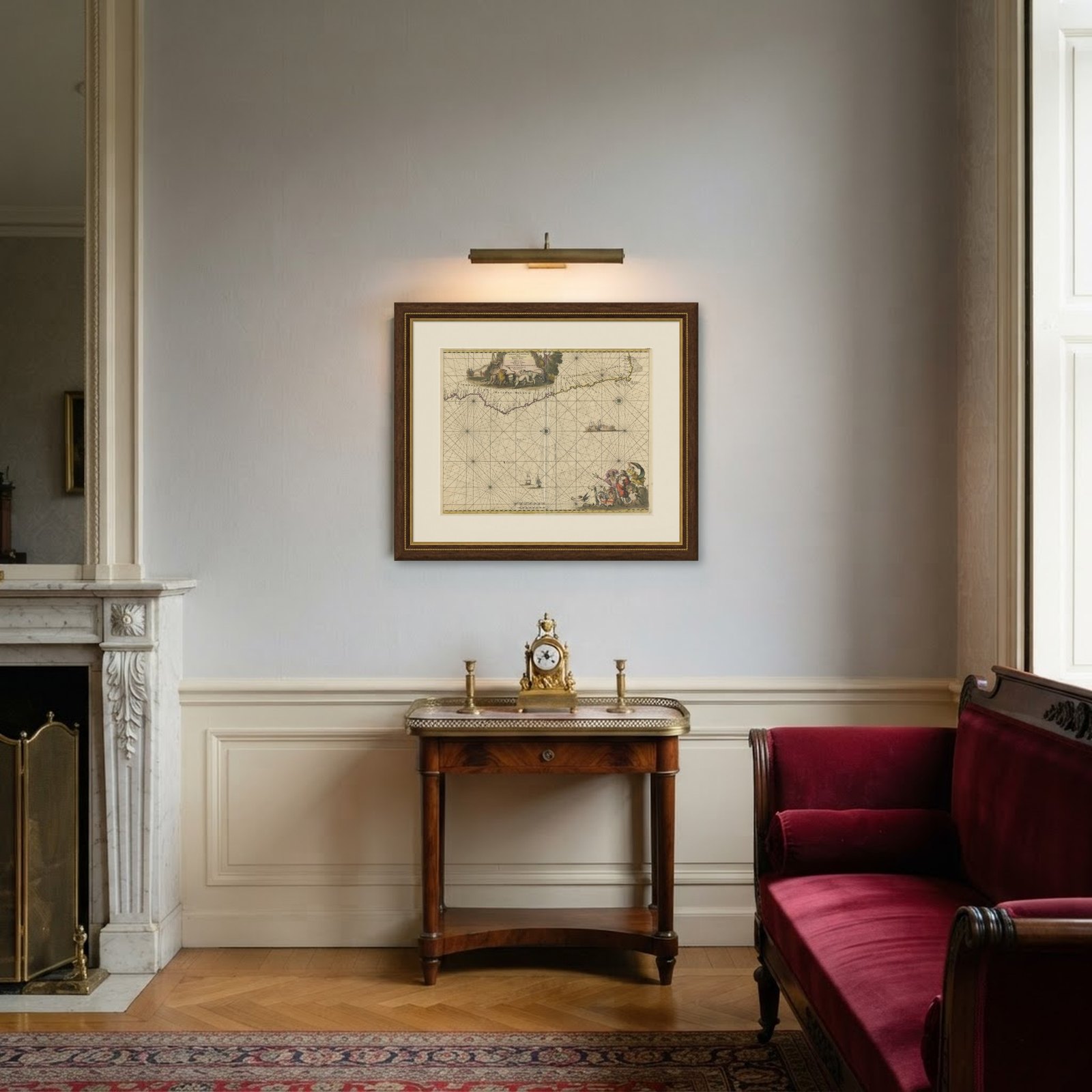
Frame and rooms are illustrations of how the piece could look; it is sold unframed unless the description says otherwise.
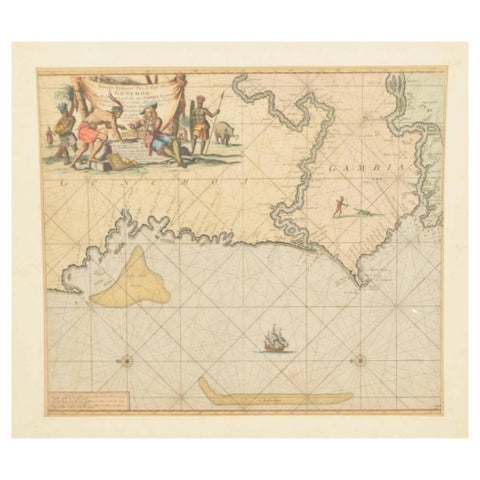
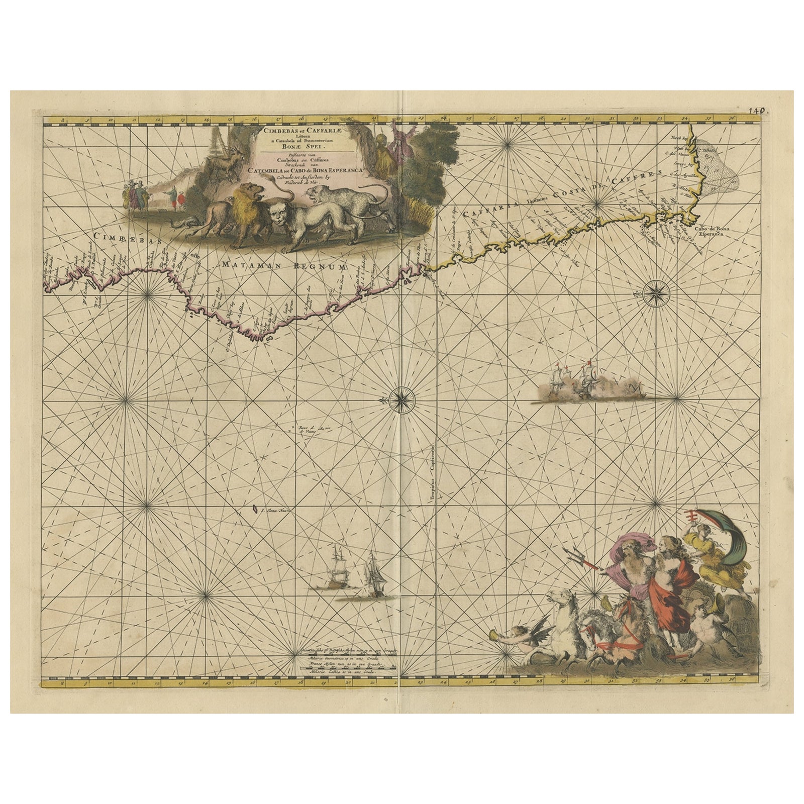
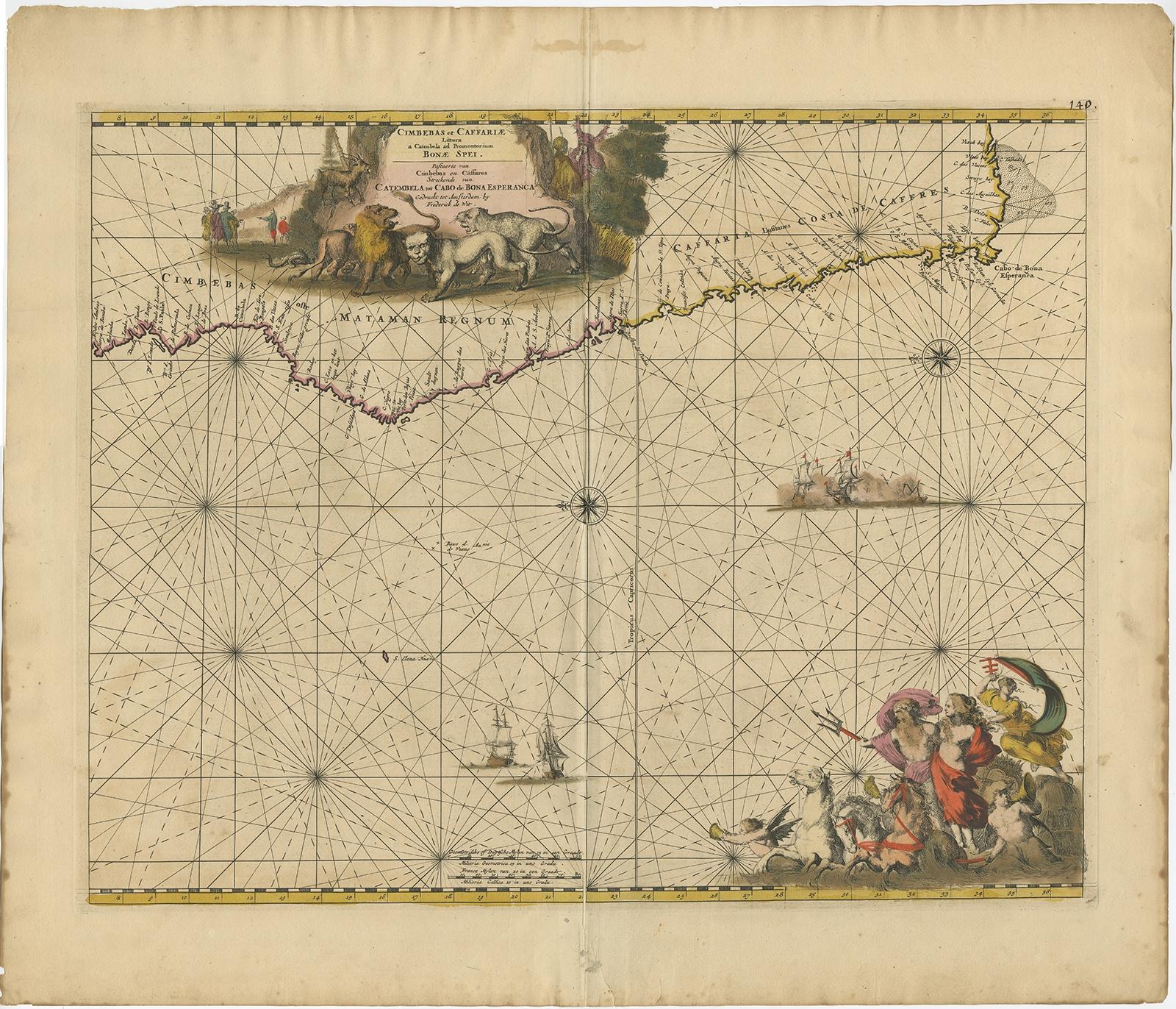
Antique Map of the Coast of Angola Up to Port Elizabeth in South Africa, 1675
$1,065
€950 · £805
Original print, not a reproduction.
Ships worldwide from the Netherlands, flat, insured and tracked. 14-day returns.
- Date
- 1675
- Sheet size
- 21.3 × 24.4 in (54 × 62 cm)
- Condition
- Good. Repaired: Overall in good condition, some damages in title cartouche, large part repaired. Repair on folding line. General age-related toning, please study image carefully. Wear consistent with age and use.
- Collection
- Sea charts
- Era
- Before 1700, Dutch Golden Age
- Stock no.
- f_26739702
Antique map titled 'Cimbebas et Caffariae Littora a Catenbela ad Promontorium Bonae Spei'.
This map depicts the coast of Angola, South-West Africa and South Africa up to Port Elizabeth. The southwestern coastline is covered including the Cape of Good Hope. The large title cartouche is a great compendium of Africa featuring exotic wildlife, European traders and natives. At the bottom right a large vignette shows Neptune and his consort in a chariot drawn by three aquatic horses.
Artists and Engravers: Frederick de Wit [1629-1706 was known as a map publisher, engraver and seller. He worked in Amsterdam from the Kalverstraat (‘bij den Dam inde dry Crabben) to 1654 and then from ‘in de Witte paskaert from 1655 to 1706. He produced a prodigious amount of cartographic material including separate terrestrial maps and sea charts, sea and terrestrial atlases, wall maps, and town views. Many of his maps were superbly colored by master Dutch colourists of his day such as Dirck van Santen. De Wit also acquired numerous copperplates from those auctioned by the Blaeu and Janssonius publishing houses sometime after 1674 and republished these works, often with his imprint added. On his death in 1706, The business was continued for a time by his widow Maria untill 1709. In 1710, the De Wit plates were sold to Mortier, Van der Aa, and Renard.
Condition: Overall in good condition, some damages in title cartouche, large part repaired. Repair on folding line. General age-related toning, please study image carefully.
EXPLORE