Close-ups
Framed and on the wall
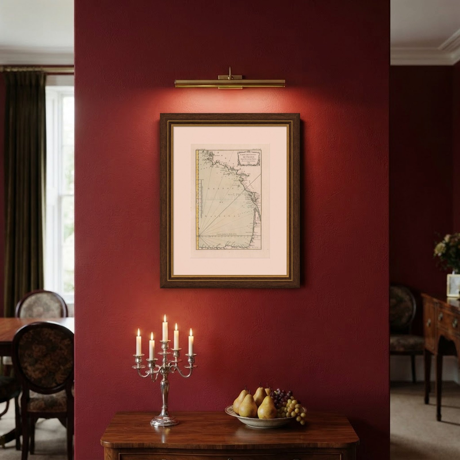

Frame and rooms are illustrations of how the piece could look; it is sold unframed unless the description says otherwise.
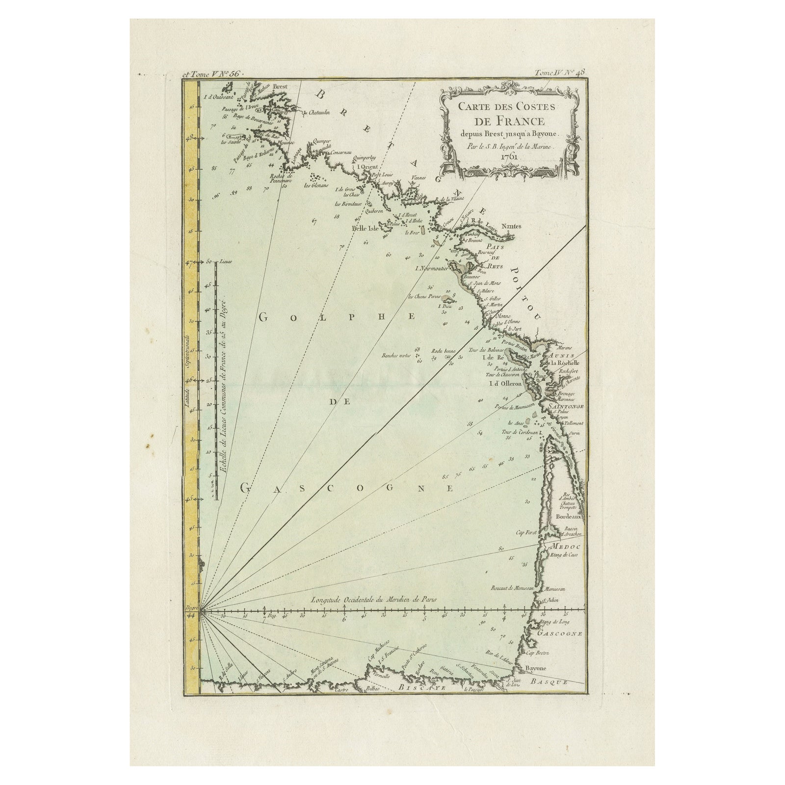
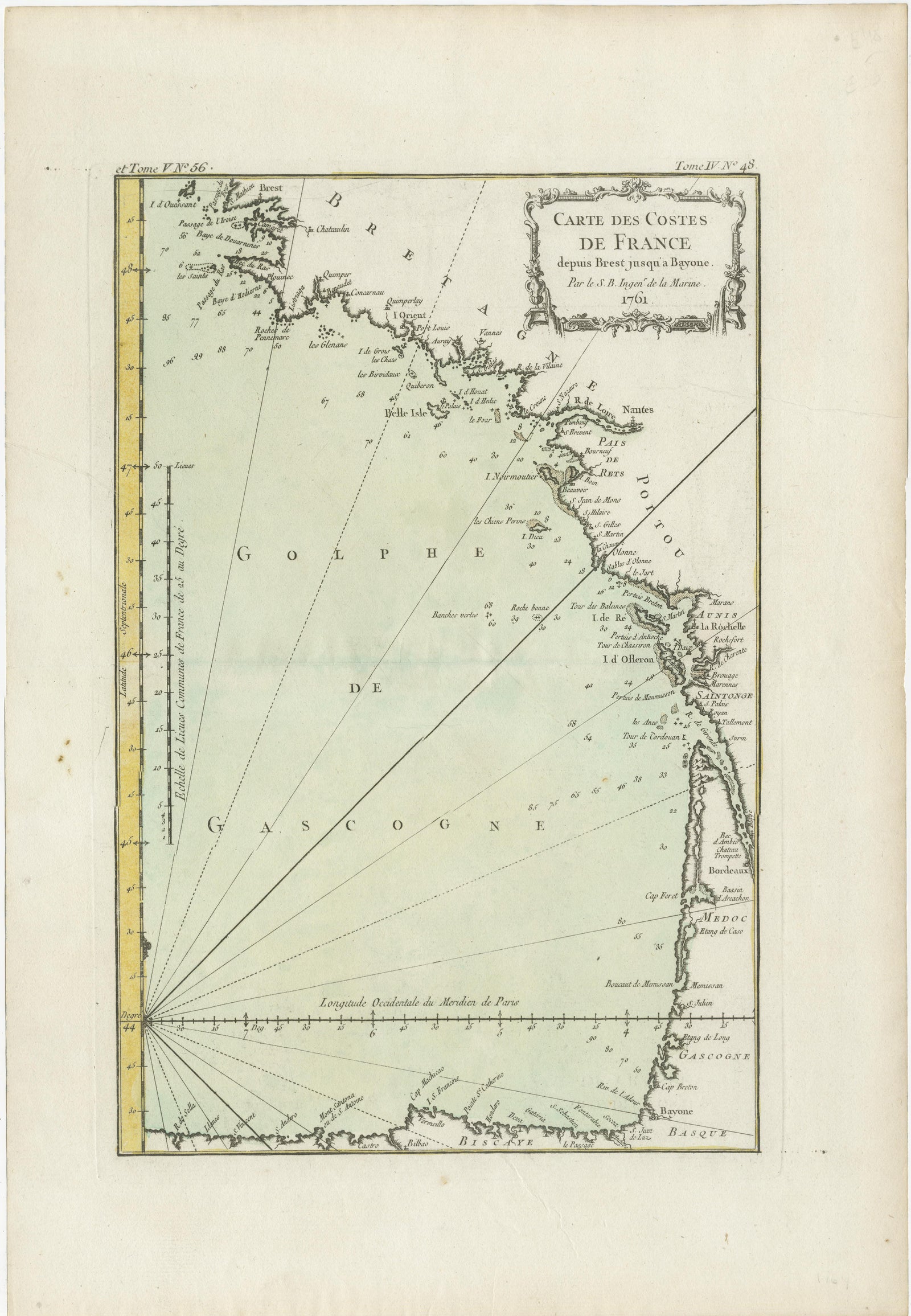
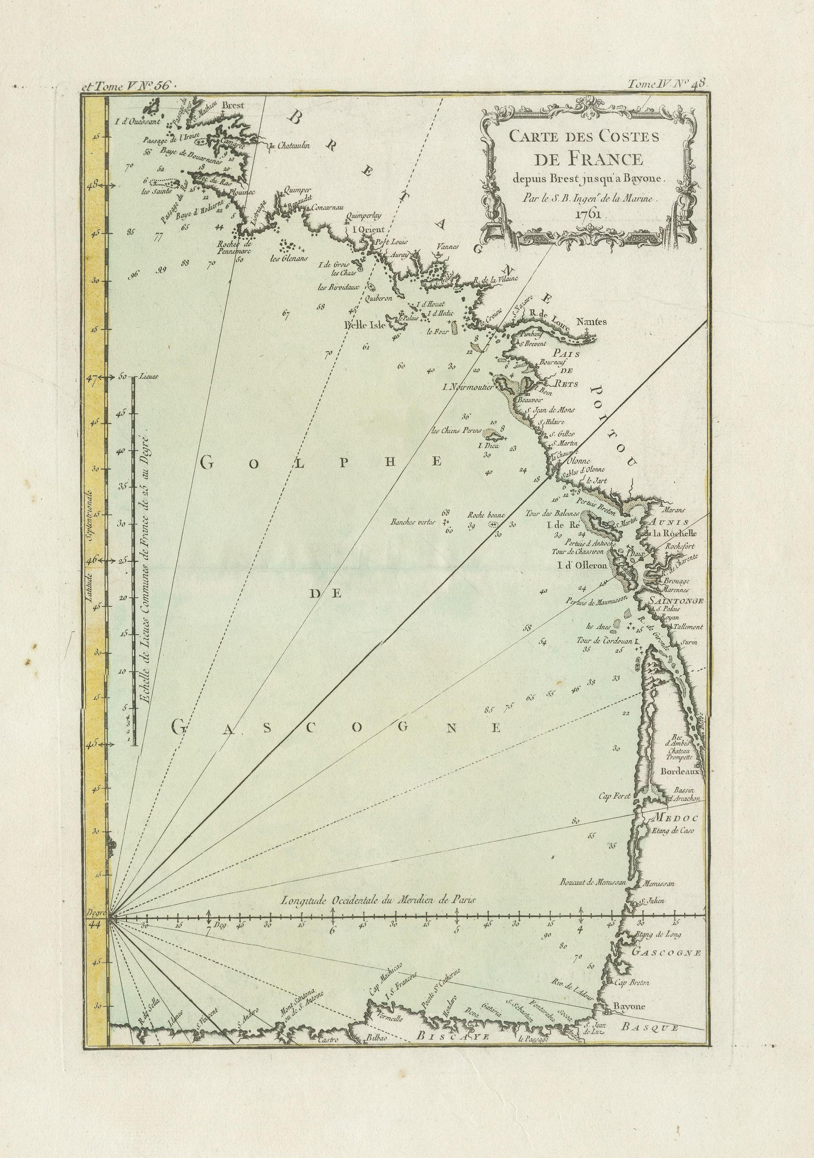
Antique Map of the Coast of France Between Brest and Bayonne
€320
$360 · £270
Original print, not a reproduction.
Ships worldwide from the Netherlands, flat, insured and tracked. 14-day returns. To buy, use Ask a question and we will reserve it for you.
- Date
- Not stated
- Sheet size
- 18.3 × 12.6 in (46.5 × 32 cm)
- Condition
- Good. General age-related toning. Original folding line. Original/contemporary hand coloring. Some wear/soiling and foxing. Blank verso. Please study image carefully.
- Collection
- Sea charts
- Stock no.
- f_33827032
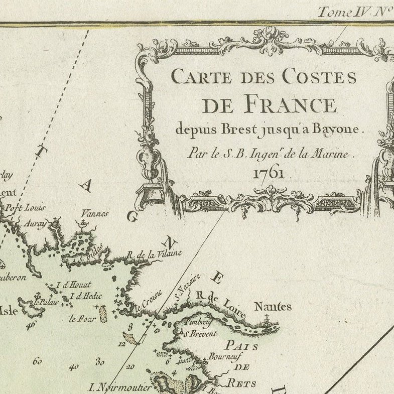
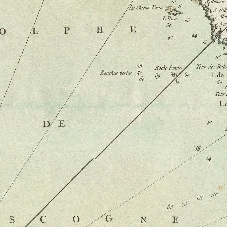
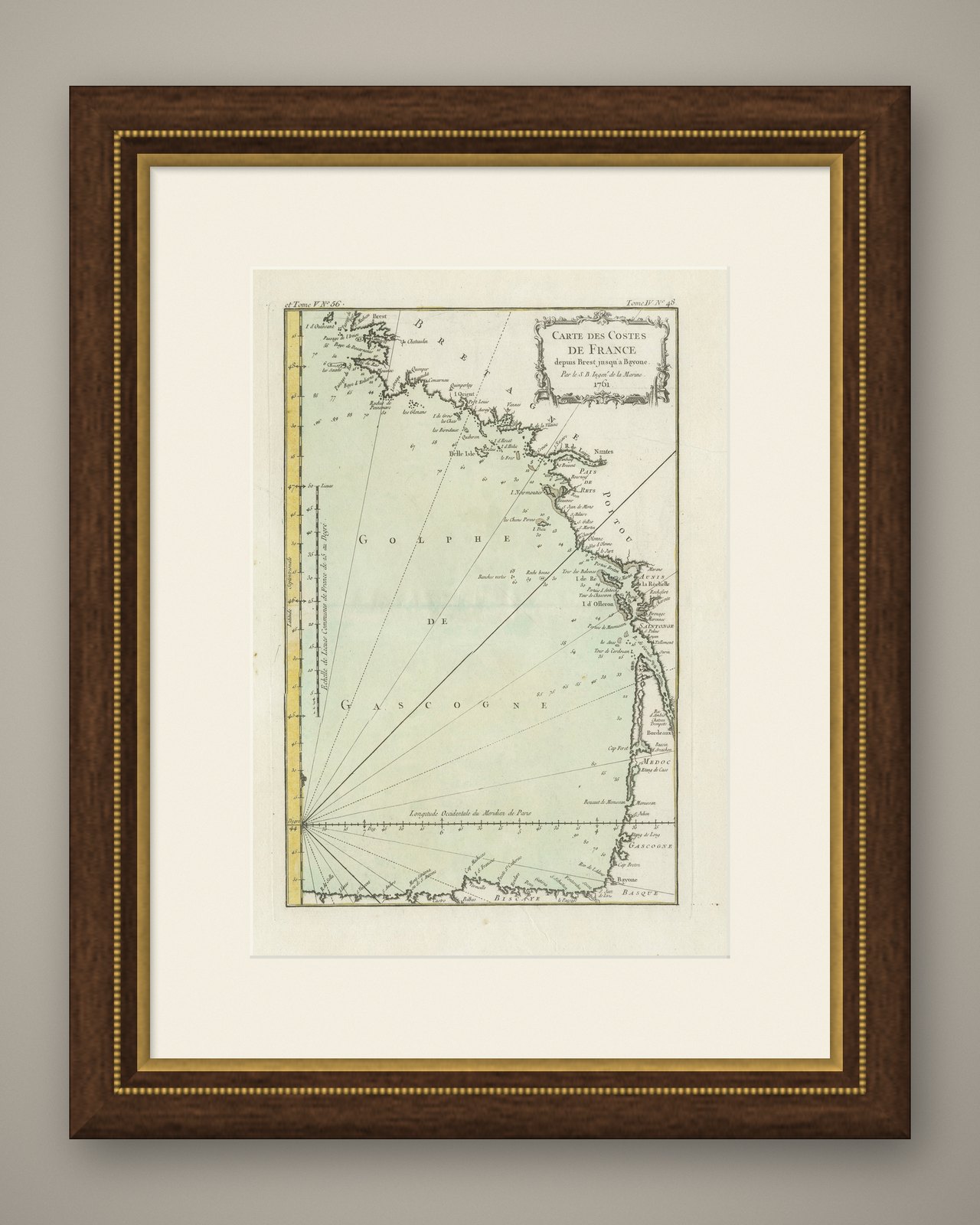
Antique map titled 'Carte des Costes de France depuis Brest jusquá Bayone'. Original old map of the coast of France between Brest and Bayonne. This map originates from 'Le Petit Atlas Maritime Recueil De Cartes et Plans Des Quatre Parties Du Monde (..) by J. N. Bellin. Published 1764.
EXPLORE