Close-ups
Framed and on the wall
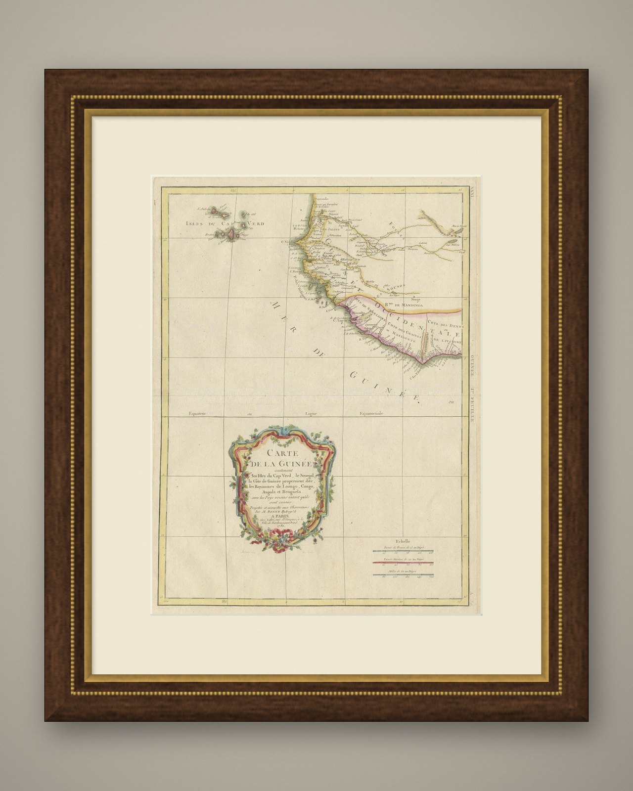
Frame and rooms are illustrations of how the piece could look; it is sold unframed unless the description says otherwise.
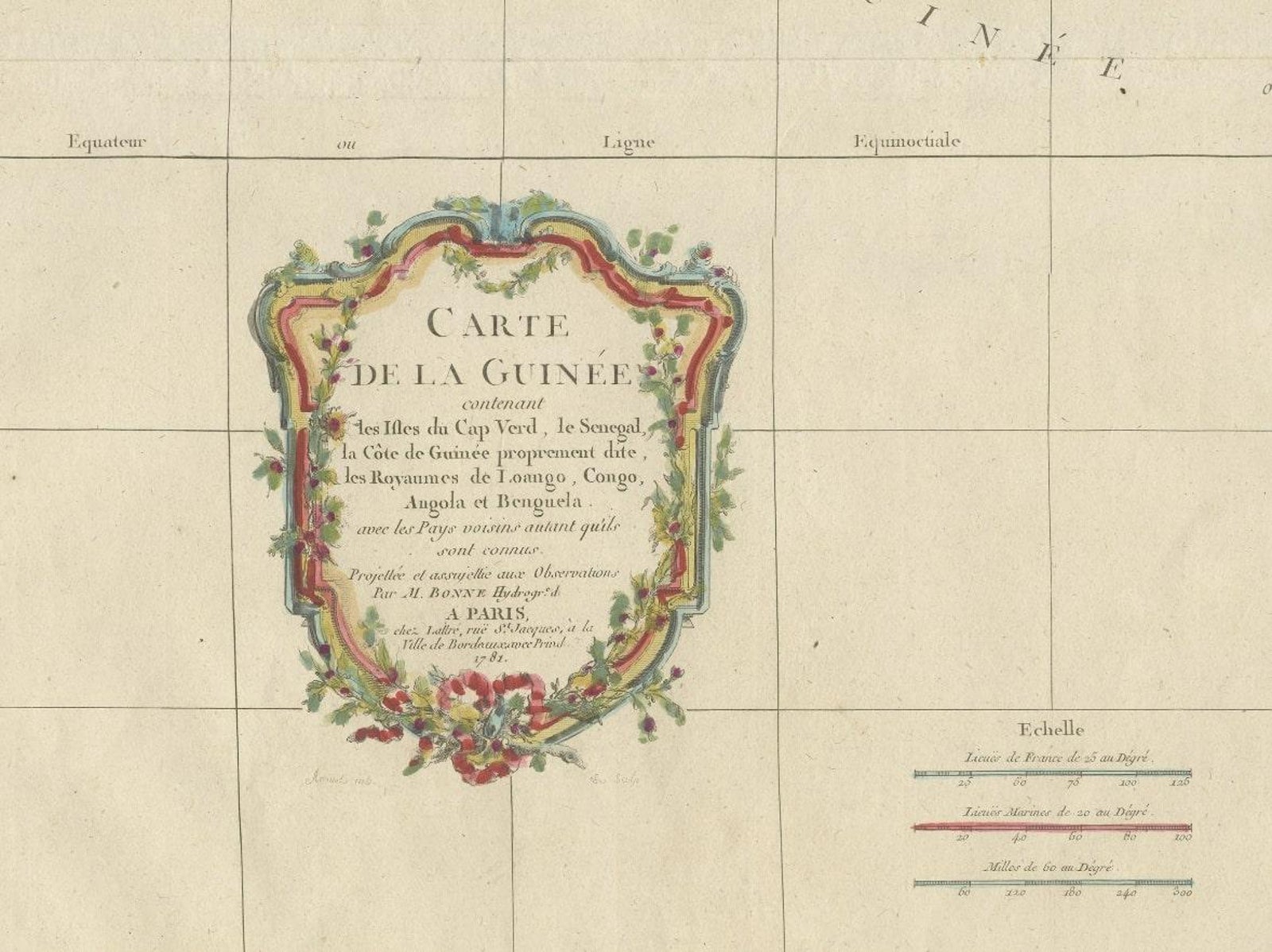
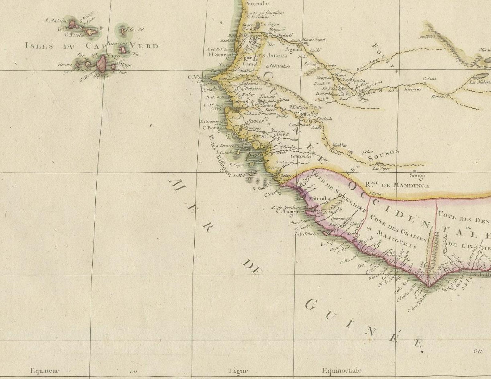
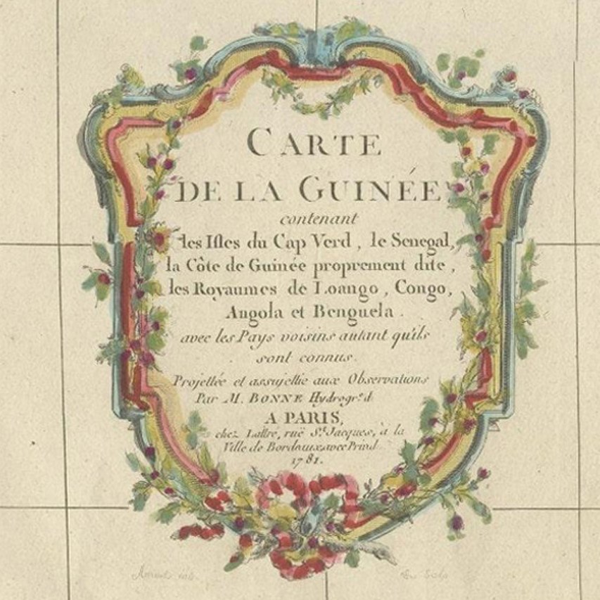
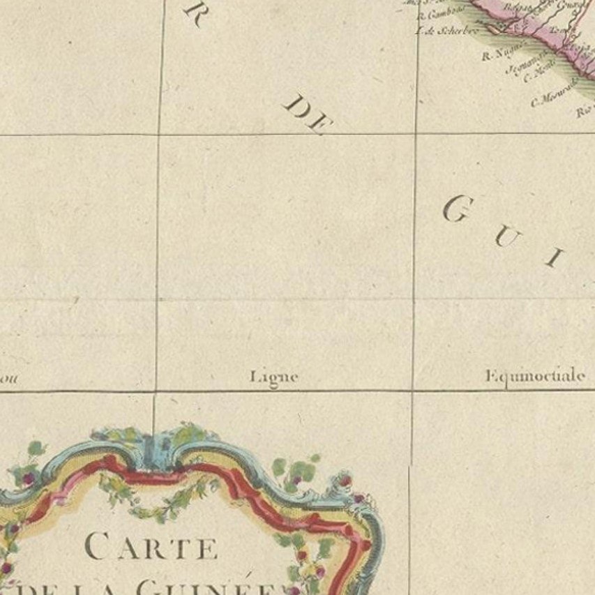
Antique Map of the Coast of Guinea and the Cape Verde Islands
£540
$715 · €640
Original print, not a reproduction.
Ships worldwide from the Netherlands, flat, insured and tracked. 14-day returns. To buy, use Ask a question and we will reserve it for you.
- Date
- Not stated
- Sheet size
- 20 × 14.7 in (50.7 × 37.3 cm)
- Condition
- Fair. Wear consistent with age and use. General age-related toning. Original folding line. Later hand coloring. Minor wear and foxing, blank verso. Please study image carefully.
- Collection
- Sea charts
- Stock no.
- f_31143982
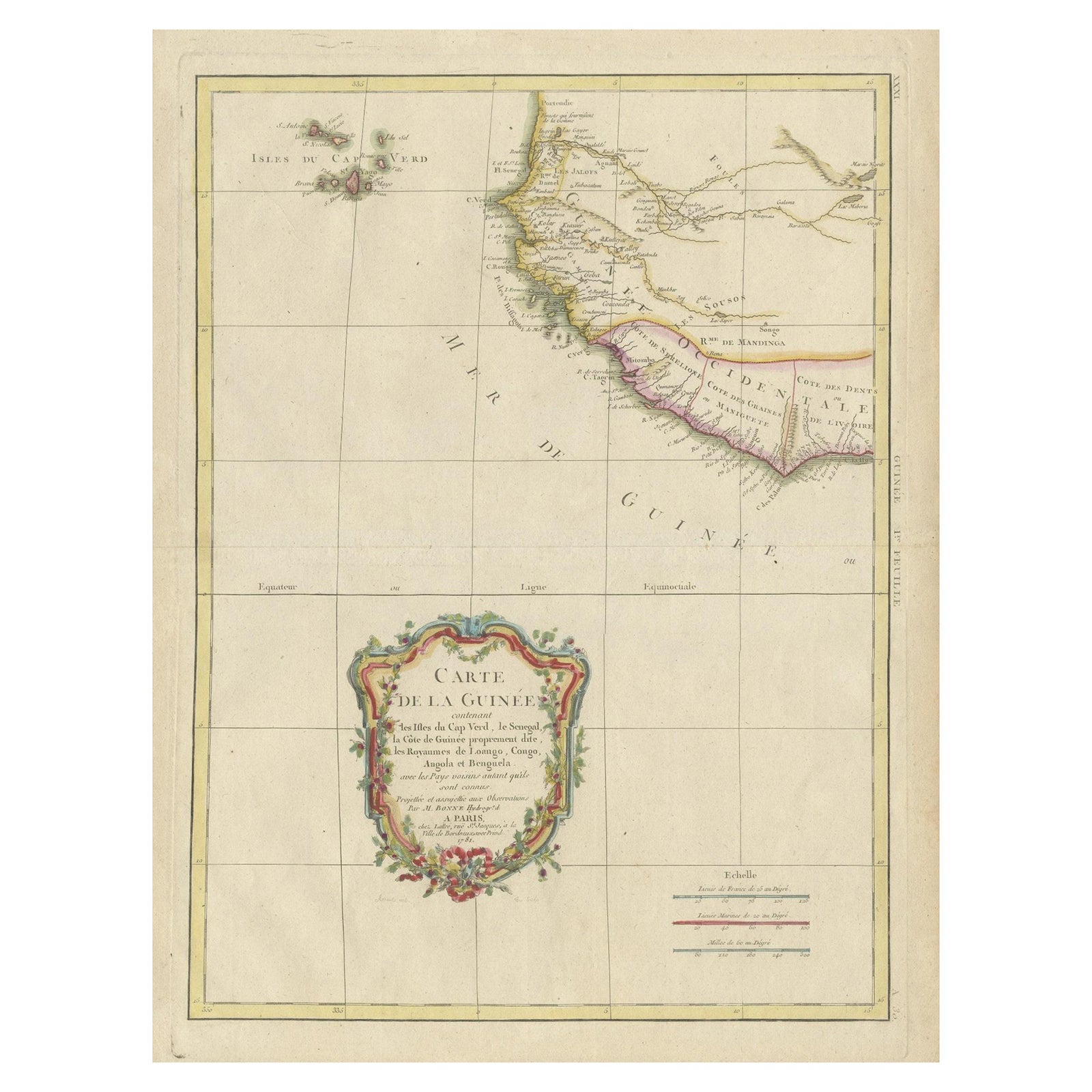
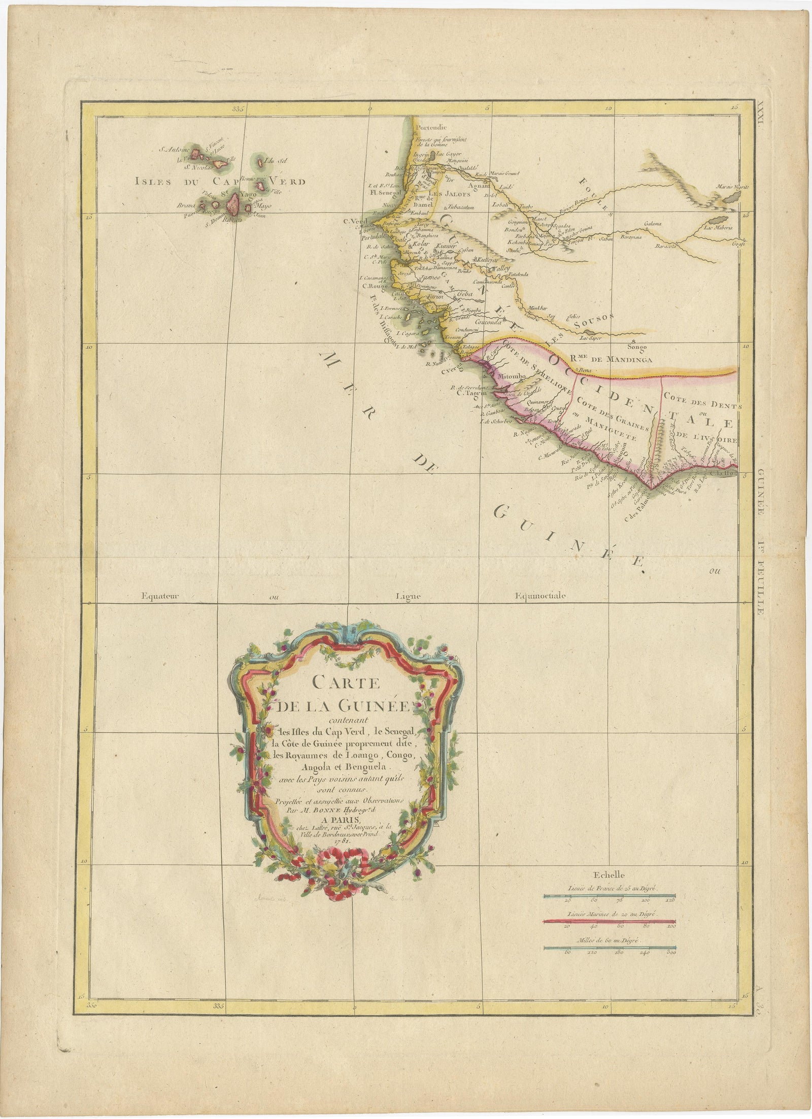
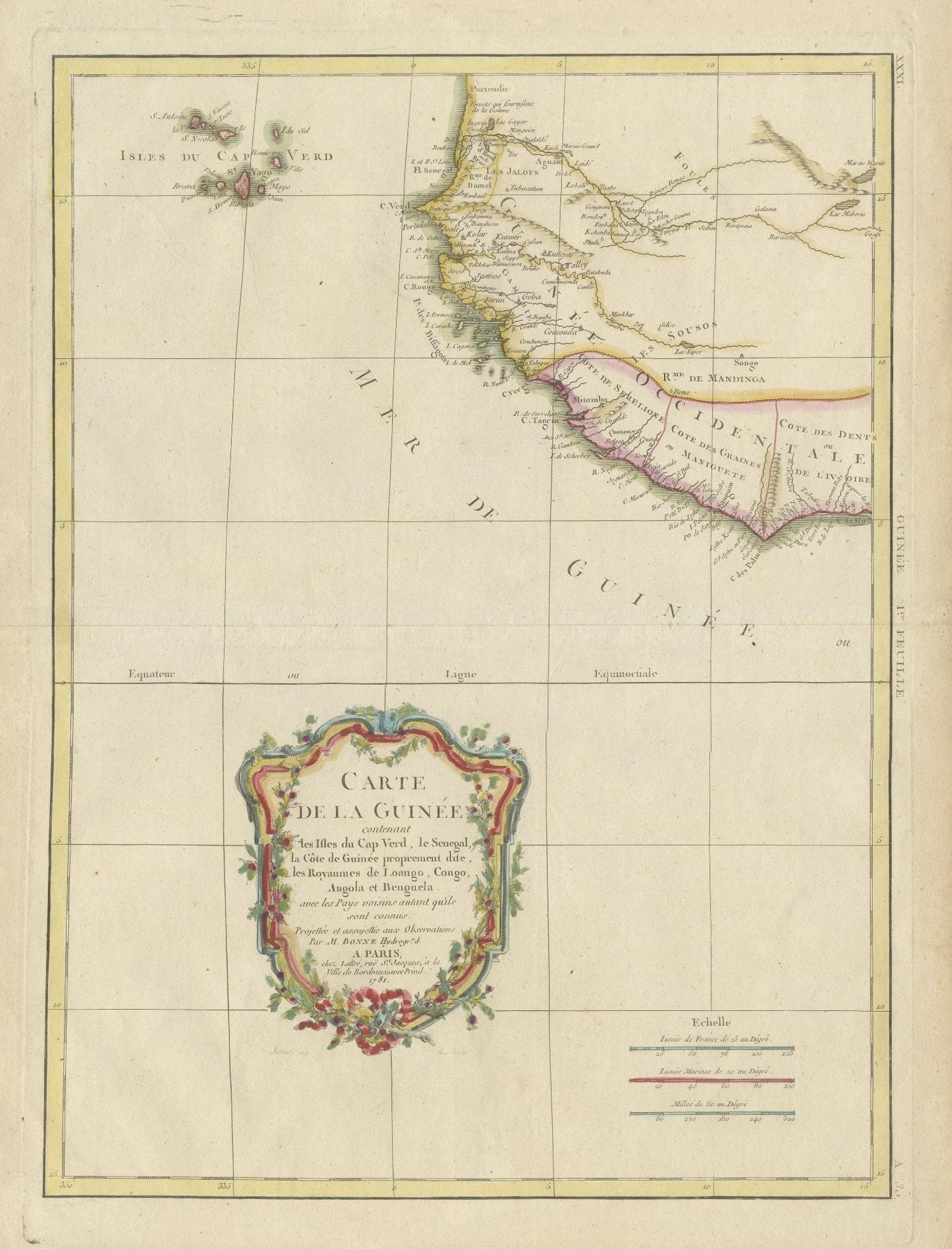
Antique map titled 'Carte de la Guinée (..)'. This map was originally part of a 2 sheet larger map of Eastern Africa, showing the Cape Verde Islands and Senegal. This map originates from 'Atlas Moderne ou Collection de Cartes (..)' by R. Bonne. Published circa 1781.
EXPLORE