Close-ups
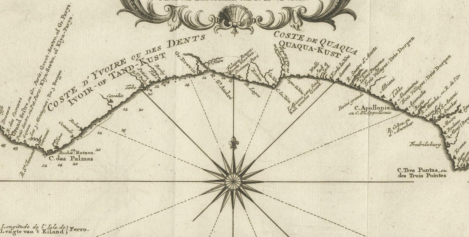
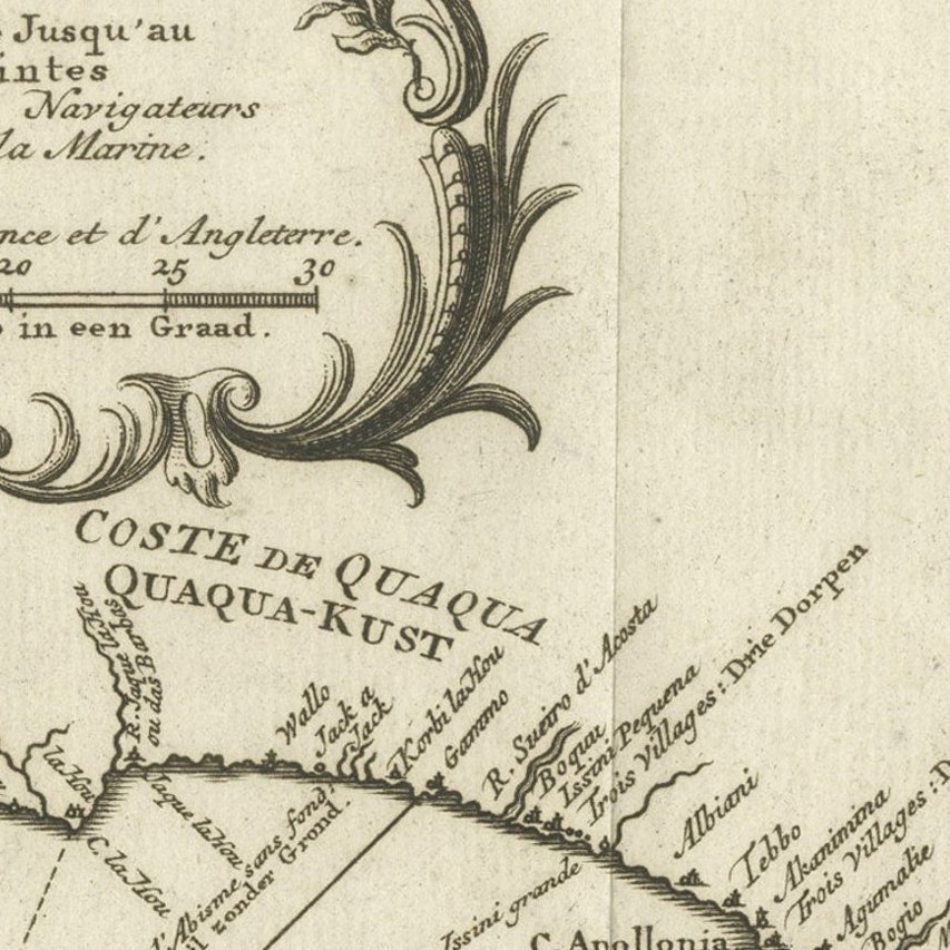
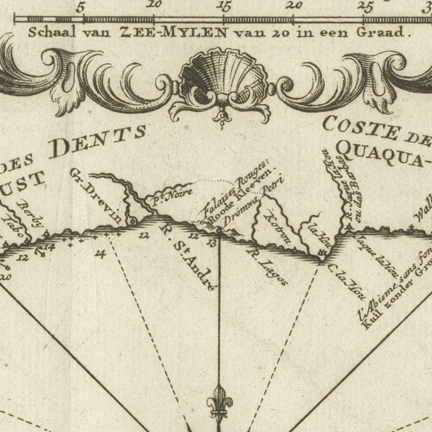
Framed and on the wall
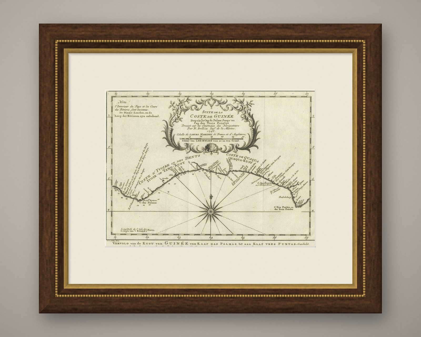
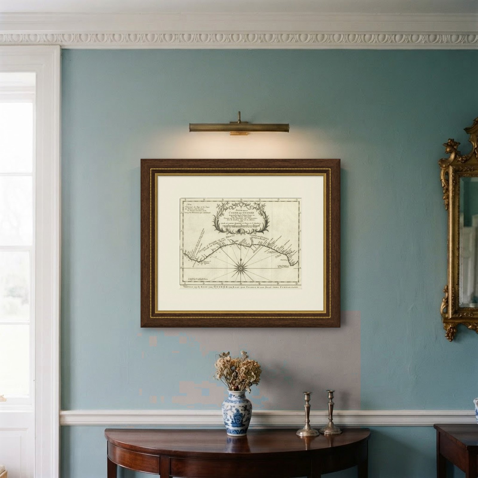

Frame and rooms are illustrations of how the piece could look; it is sold unframed unless the description says otherwise.
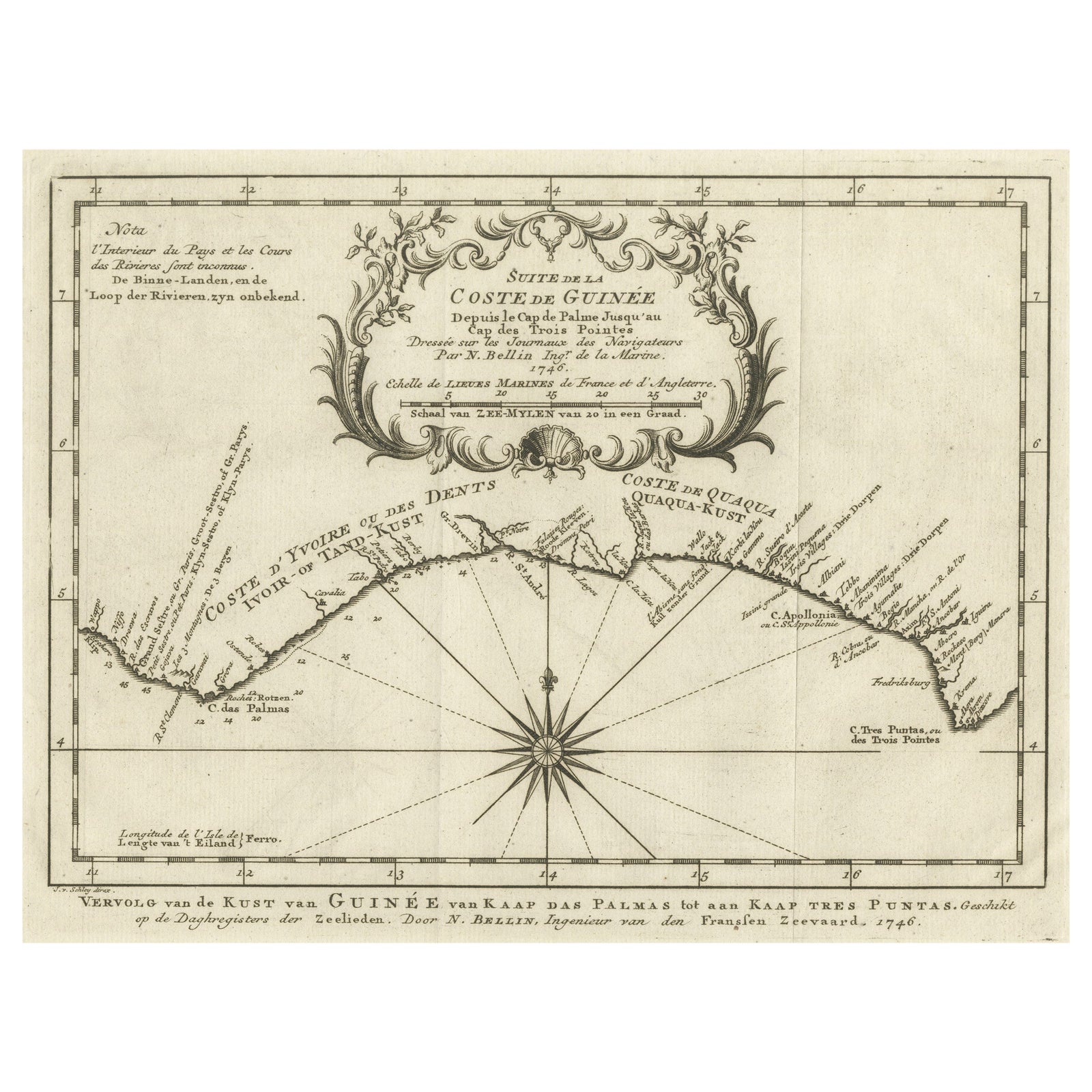
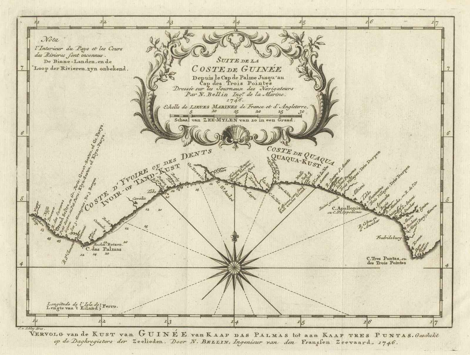
Antique Map of the Coast of Guinea from, Cape Apollonia to the Volta River
£305
$405 · €360
Original print, not a reproduction.
Ships worldwide from the Netherlands, flat, insured and tracked. 14-day returns.
- Date
- Not stated
- Sheet size
- 10 × 15.3 in (25.5 × 38.8 cm)
- Condition
- Good. Wear consistent with age and use. General age-related toning, original folding lines. Minor wear, blank verso. Please study image carefully.
- Collection
- Sea charts
- Stock no.
- f_31132742
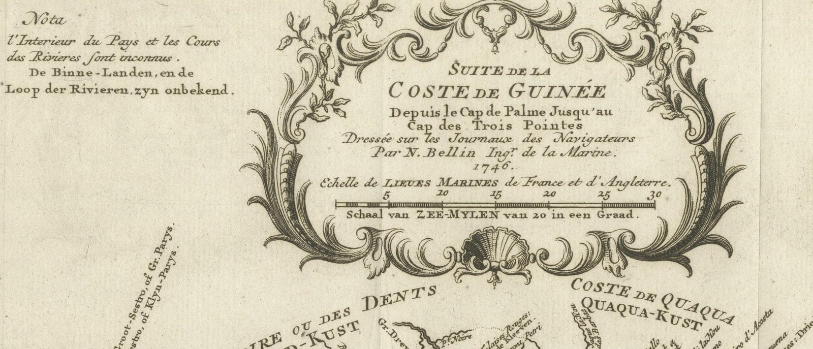
Antique map titled 'Suite de la Coste de Guinée (..), Vervolg van de Kust van Guinée (..)'. Decorative map of the coast of Guinea from, Cape Apollonia to the Volta River. Engraved by J. van Schley after J.N. Bellin. Published circa 1764.
Bellin was a French multifaceted hydrographer and geographer had an incredibly successful 50 year career producing maps. His illustrious career started at just 18 years of age when he was appointed Chief Cartographer to the French Navy in 1721. His attention to detail, accuracy and high standard of workmanship resulted in him playing an integral role to France’s leadership in European cartography. In addition to being the Chief Cartographer of France’s hydrographic office, he was also a member of the Académie de Marine, the Royal Society of London, and the Philosophes (French intellectual group).
EXPLORE