Close-ups
Framed and on the wall
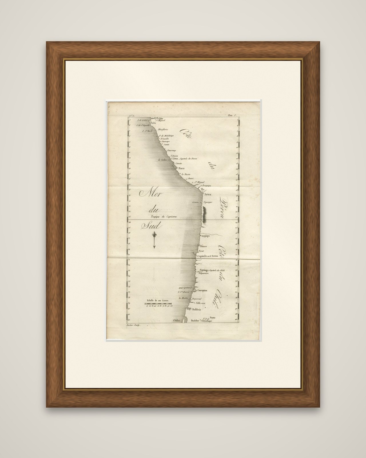
Frame and rooms are illustrations of how the piece could look; it is sold unframed unless the description says otherwise.
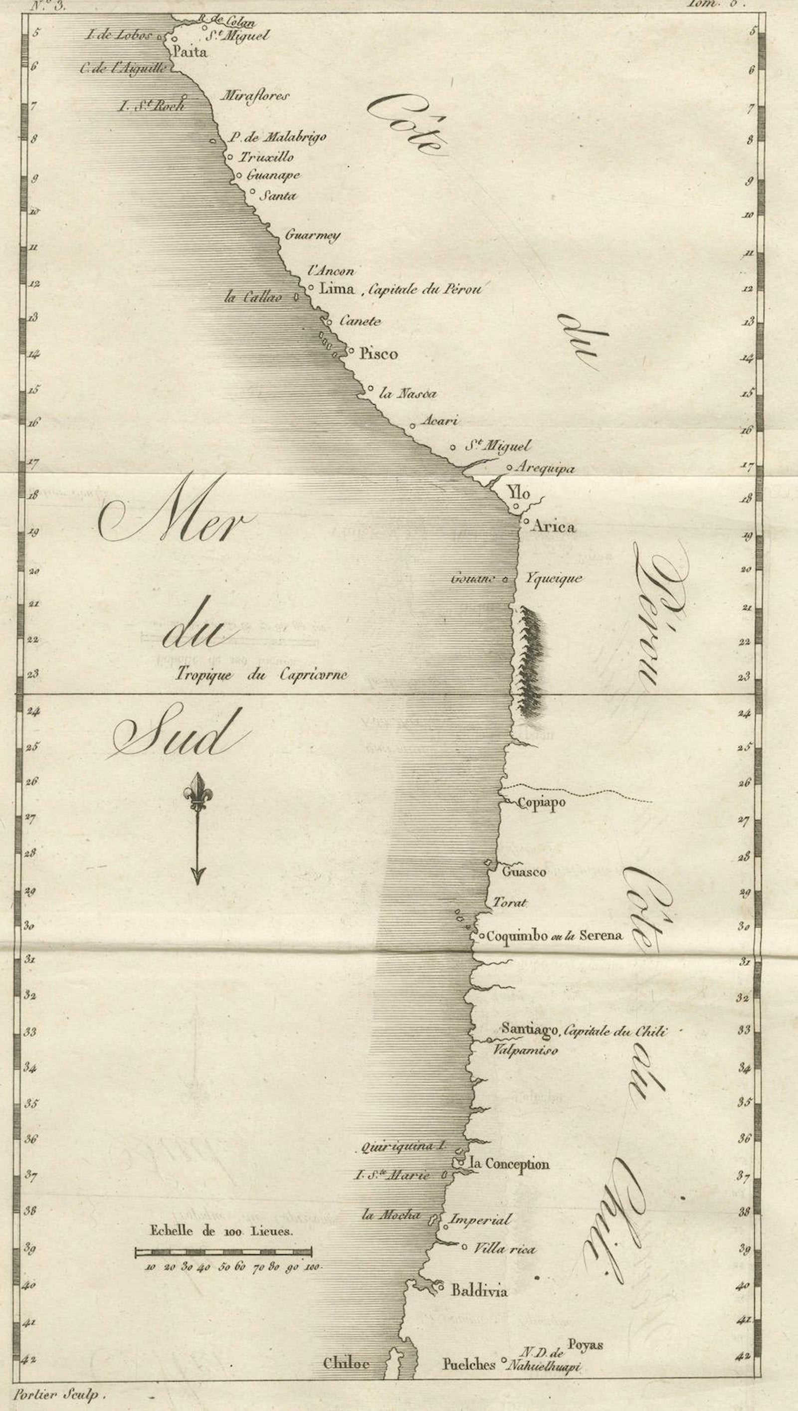
Antique Map of the Coast of Peru and Chile, Detailing Ports & Coastlines, c1760
£390
$515 · €460
Original print, not a reproduction.
Ships worldwide from the Netherlands, flat, insured and tracked. 14-day returns. To buy, use Ask a question and we will reserve it for you.
- Date
- 1760
- Sheet size
- 12 × 7.9 in (30.6 × 20 cm)
- Condition
- Very good for age, with a central fold as issued. Light toning and faint foxing in margins. Strong plate impression with crisp coastal detail.
- Collection
- Sea charts
- Era
- 1700 to 1789, Age of discovery
- Stock no.
- f_46217912
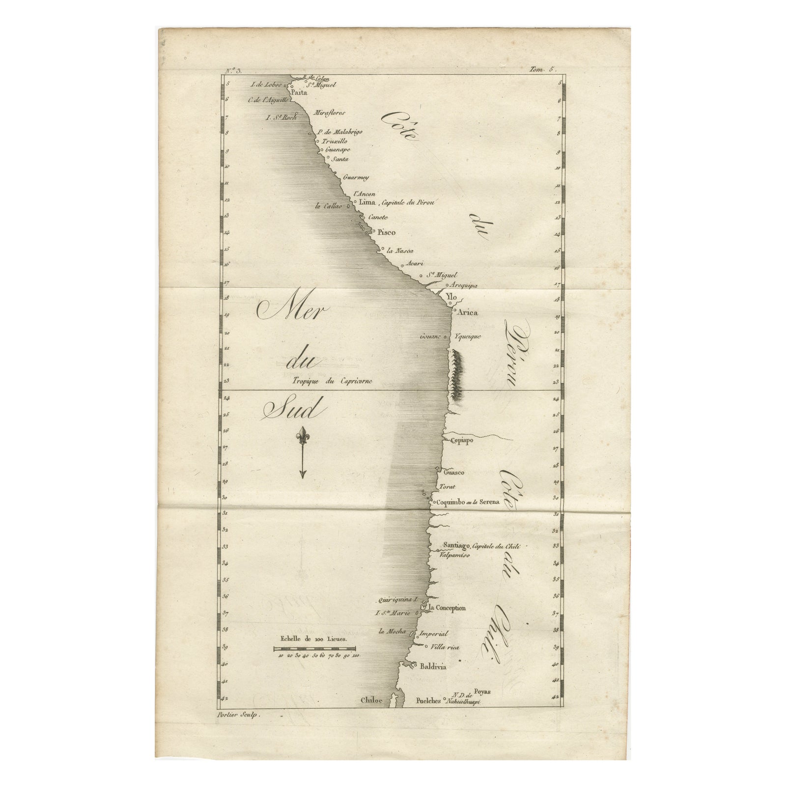
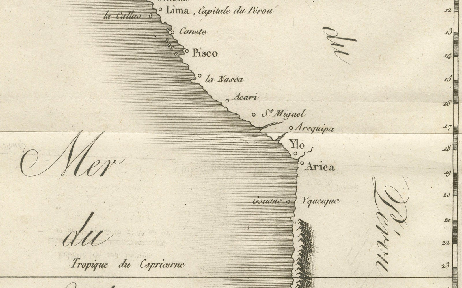
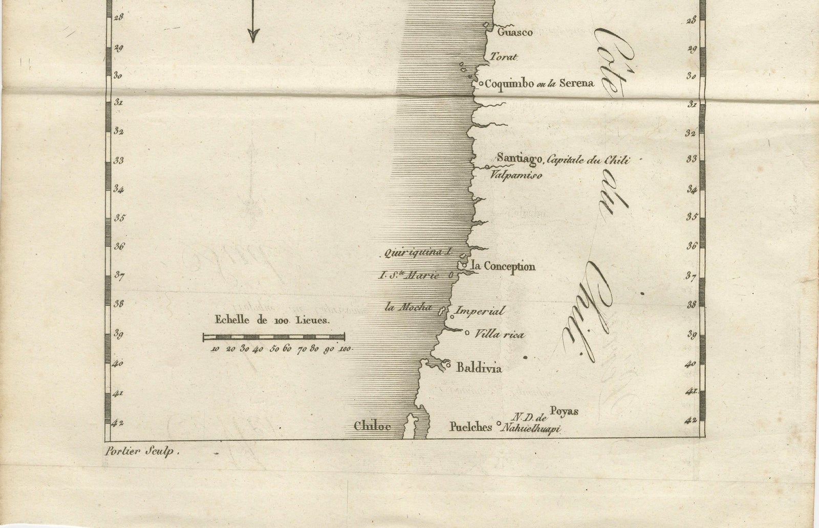
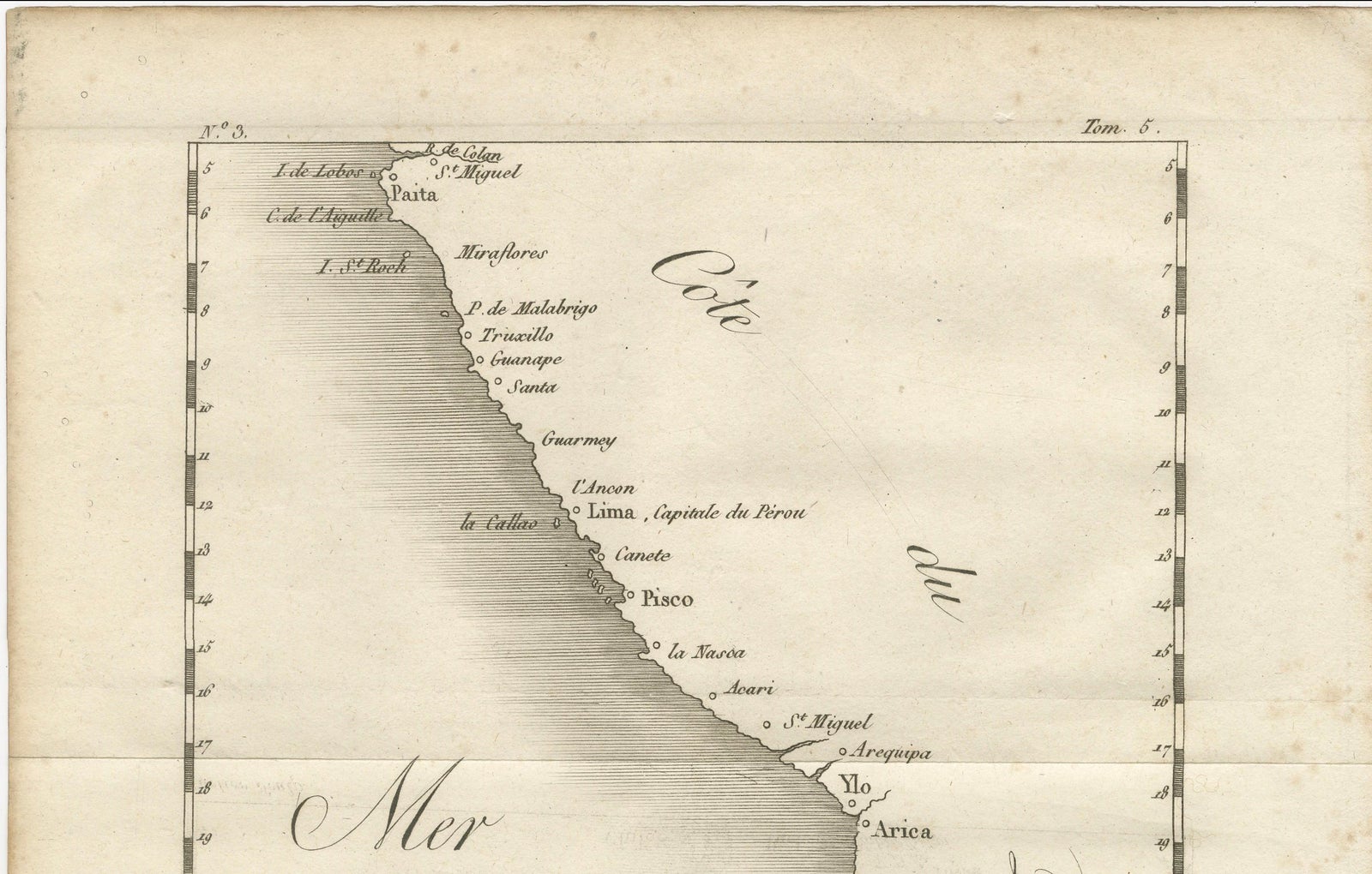
The Pacific coast of Peru and Chile, an original copper engraving by Porlier, dated around 1760. The sheet is titled with the lettering "Côte du Pérou" and "Côte du Chili" set along the coast, and the engraver's credit "Porlier Sculp." appears at the lower left, with a volume number at the upper right.
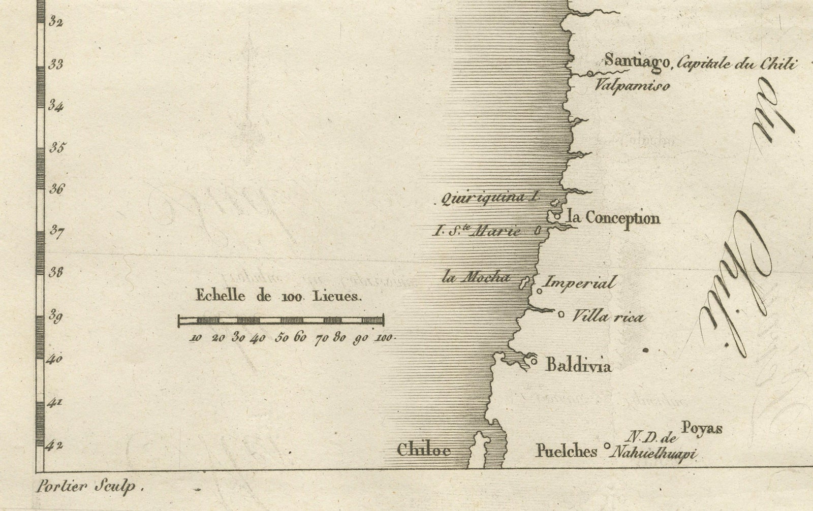
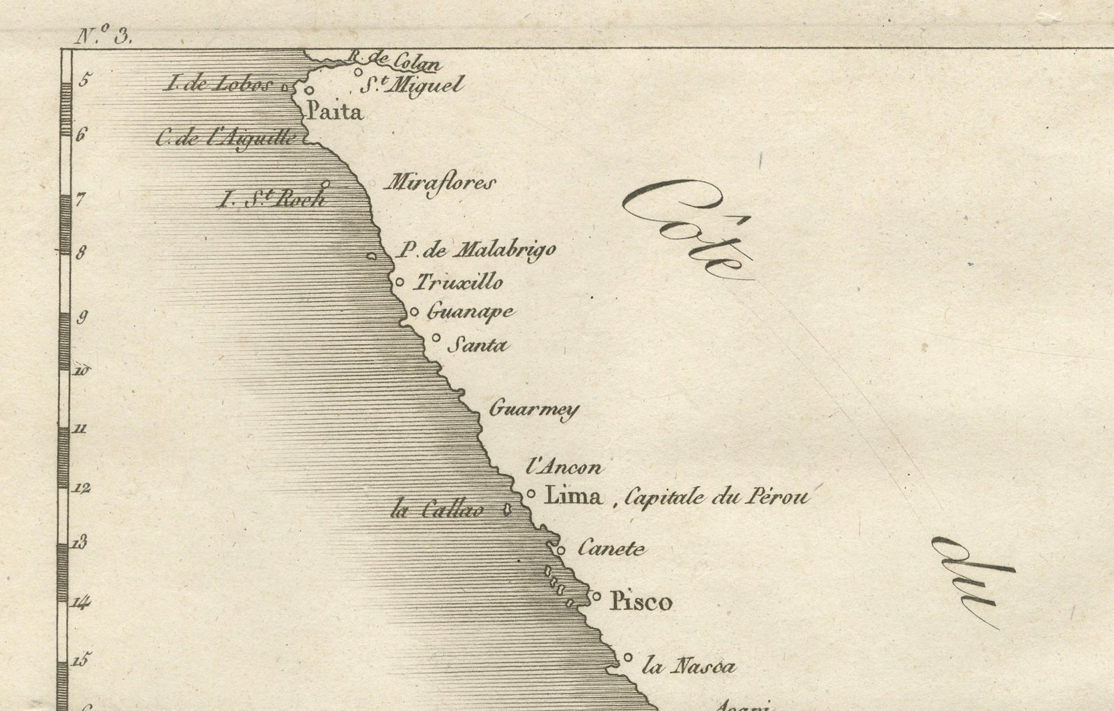
The map is a narrow coastal strip with the shoreline drawn in fine shaded lines and latitude figures ruled along both edges. Towns and ports are lettered down the coast from Paita in the north: Truxillo, Lima (marked as the capital of Peru), Callao, Pisco, Arequipa, Arica, Iquique, Copiapó, Coquimbo (or La Serena), Santiago (the capital of Chile), Valparaiso, Concepción, Imperial, Valdivia and the island of Chiloé at the foot. Offshore islands such as the Lobos Islands are marked. The open sea at the left is lettered "Mer du Sud," with the Tropic of Capricorn ruled across it and a fleur-de-lis north arrow beneath. The Andes are shown only by a single hatched ridge near Iquique, and the scale is given as "Échelle de 100 Lieues" at the lower left.
The sheet gives the line of the coast that Pacific voyagers followed between the viceroyalty's chief ports.
EXPLORE