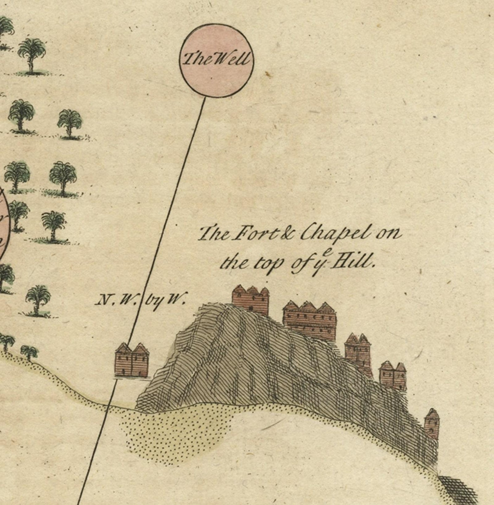
Close-ups
Framed and on the wall
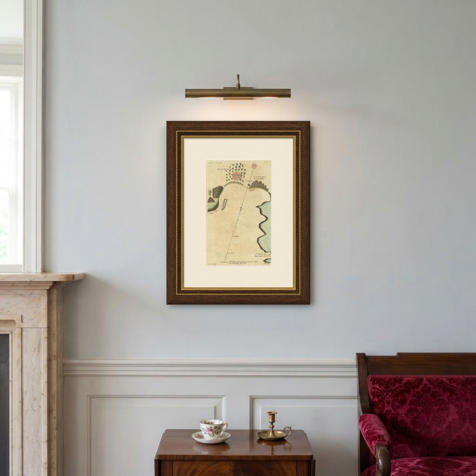
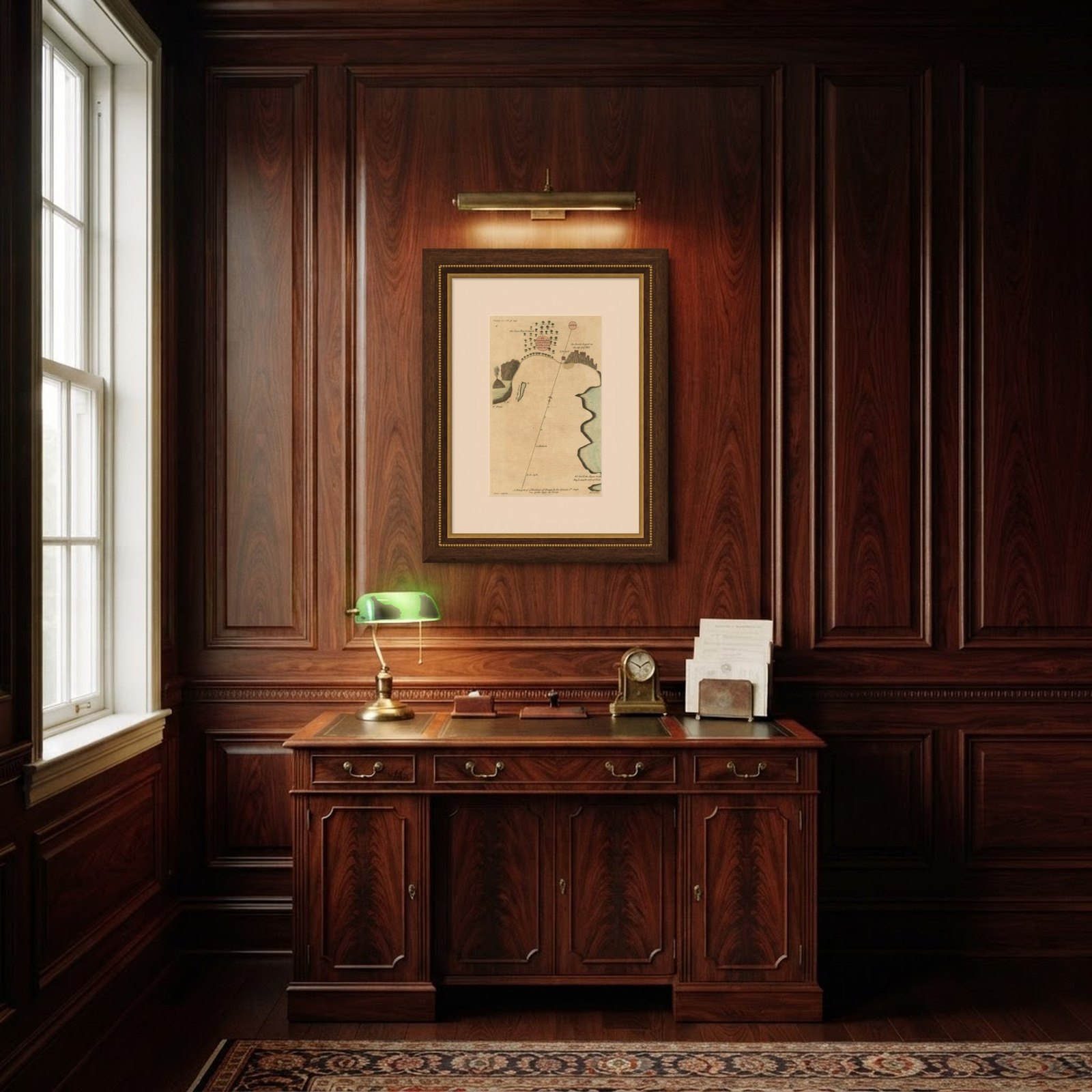
Frame and rooms are illustrations of how the piece could look; it is sold unframed unless the description says otherwise.
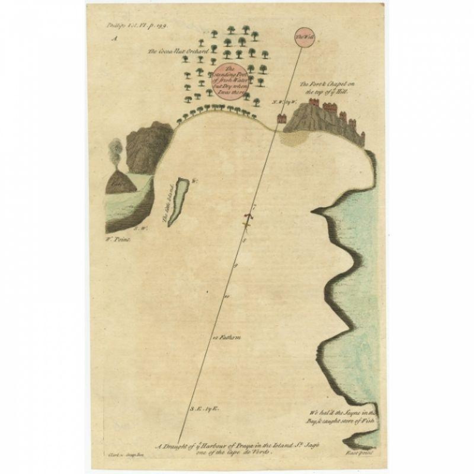
Antique Map of the Harbour of Praia, Santiago Island, Cape Verde, c.1750
$370
€330 · £280
Original print, not a reproduction.
Ships worldwide from the Netherlands, flat, insured and tracked. 14-day returns. To buy, use Ask a question and we will reserve it for you.
- Date
- 1750
- Sheet size
- 13.2 × 8.3 in (33.5 × 21.2 cm)
- Technique
- Engraved
- Condition
- Good. Given age. Slight offsetting. General age-related toning and/or occasional minor defects from handling. Please study image carefully.
- Collection
- Sea charts
- Era
- 1700 to 1789, Age of discovery
- Stock no.
- f_27795712
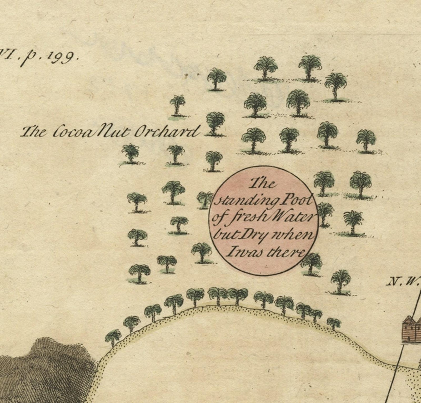
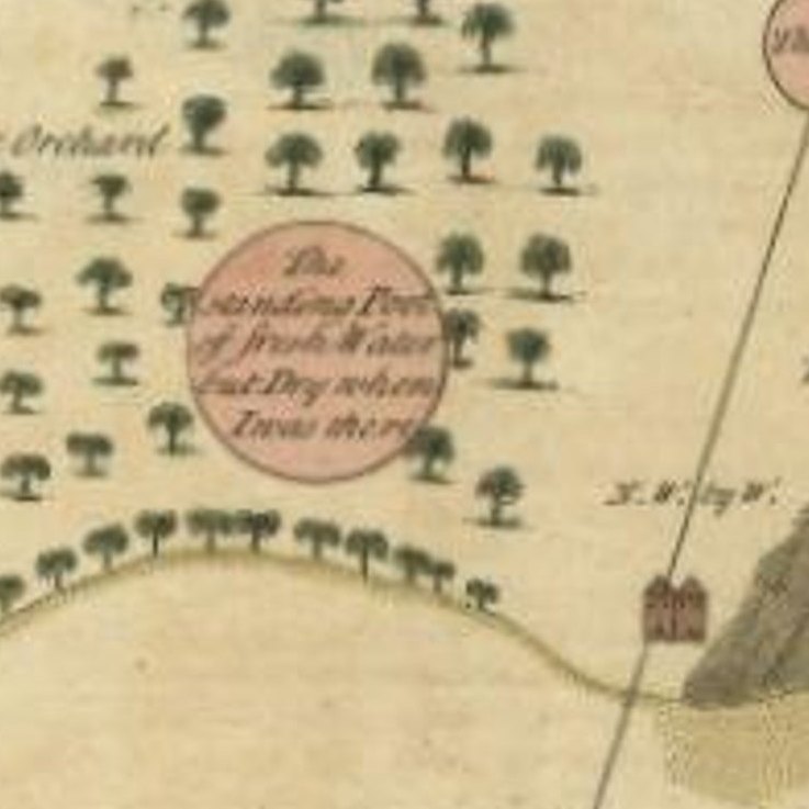
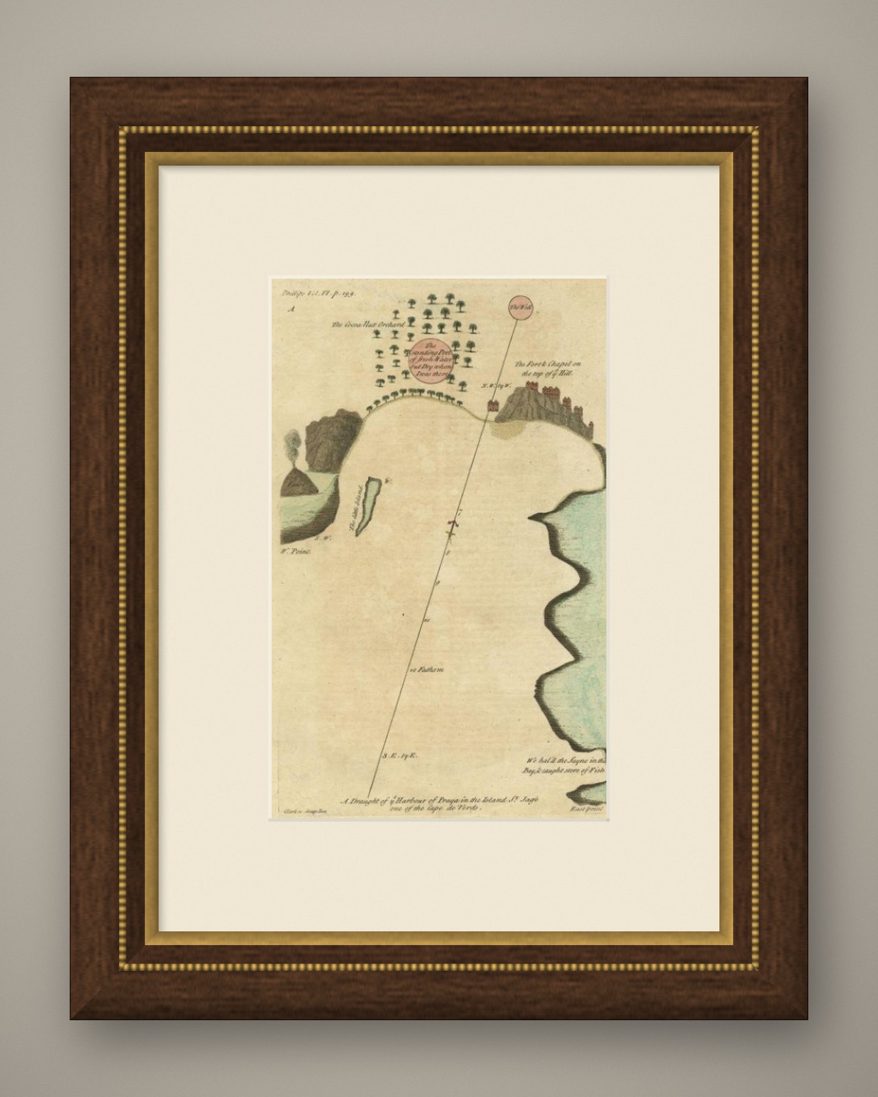
Antique map titled 'A Draught of ye Harbour of Praya in the Island St. Jago (..)'. Uncommon map showing the harbour of Praia on Santiago Island, Cape Verde. Source unknown, to be determined.
Praia Harbor (Portuguese: Porto da Praia) is the port of the city of Praia in the southern part of the island of Santiago, Cape Verde. It is situated in a natural bay of the Atlantic Ocean. Since the latest modernisation in 2014, it has 2 long quays, 3 shorter quays, a quay for fishing boats with fish processing installations, 2 container parks, 2 roll-on/roll-off ramps and a passenger terminal. The total length of the quays is 863 m, and the maximum depth is 13.5 m.The port of Praia played an important role in the colonisation of Africa and South America by the Portuguese. With 817,845 metric tonnes of cargo and 85,518 passengers handled (2017), it is the second busiest port of Cape Verde, after Porto Grande (Mindelo).
The bay of Praia lies between the headlands Ponta Temerosa and Ponta das Bicudas. The islet Ilhéu de Santa Maria lies in the bay, west of the port. The river Ribeira da Trindade empties into the bay, between the city centre (Plateau) and the port. Directly north of the port is the city subdivision Achada Grande Frente.
Artists and Engravers: Made by 'Clark'.
Condition: Good, given age. Slight offsetting. General age-related toning and/or occasional minor defects from handling. Please study image carefully.
Date: c.1750
Overall size: 21.2 x 33.5 cm.
Image size: 19.7 x 31.3 cm.
We sell original antique maps to collectors, historians, educators and interior decorators all over the world. Our collection includes a wide range of authentic antique maps from the 16th to the 20th centuries. Buying and collecting antique maps is a tradition that goes back hundreds of years. Antique maps have proved a richly rewarding investment over the past decade, thanks to a growing appreciation of their unique historical appeal. Today the decorative qualities of antique maps are widely recognized by interior designers who appreciate their beauty and design flexibility. Depending on the individual map, presentation, and context, a rare or antique map can be modern, traditional, abstract, figurative, serious or whimsical. We offer a wide range of authentic antique maps for any budget
EXPLORE