Close-ups
Framed and on the wall
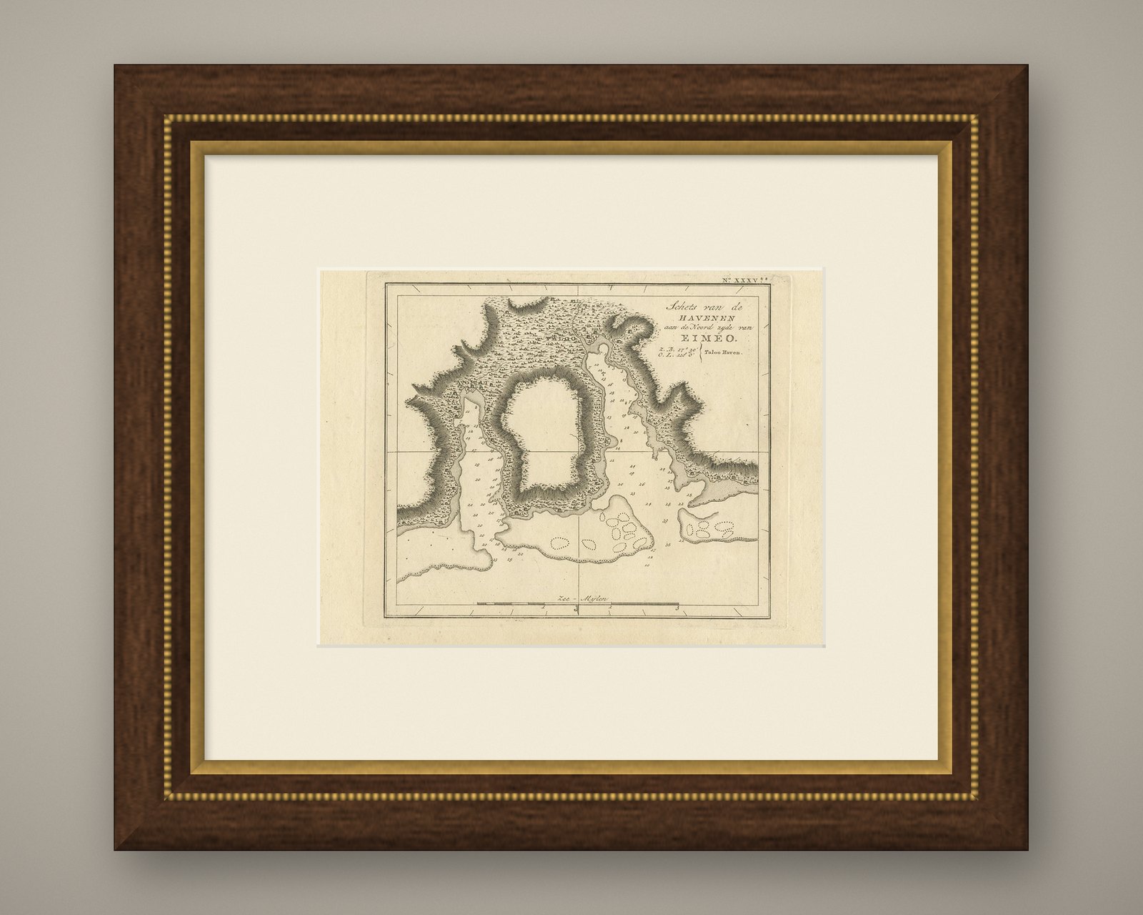
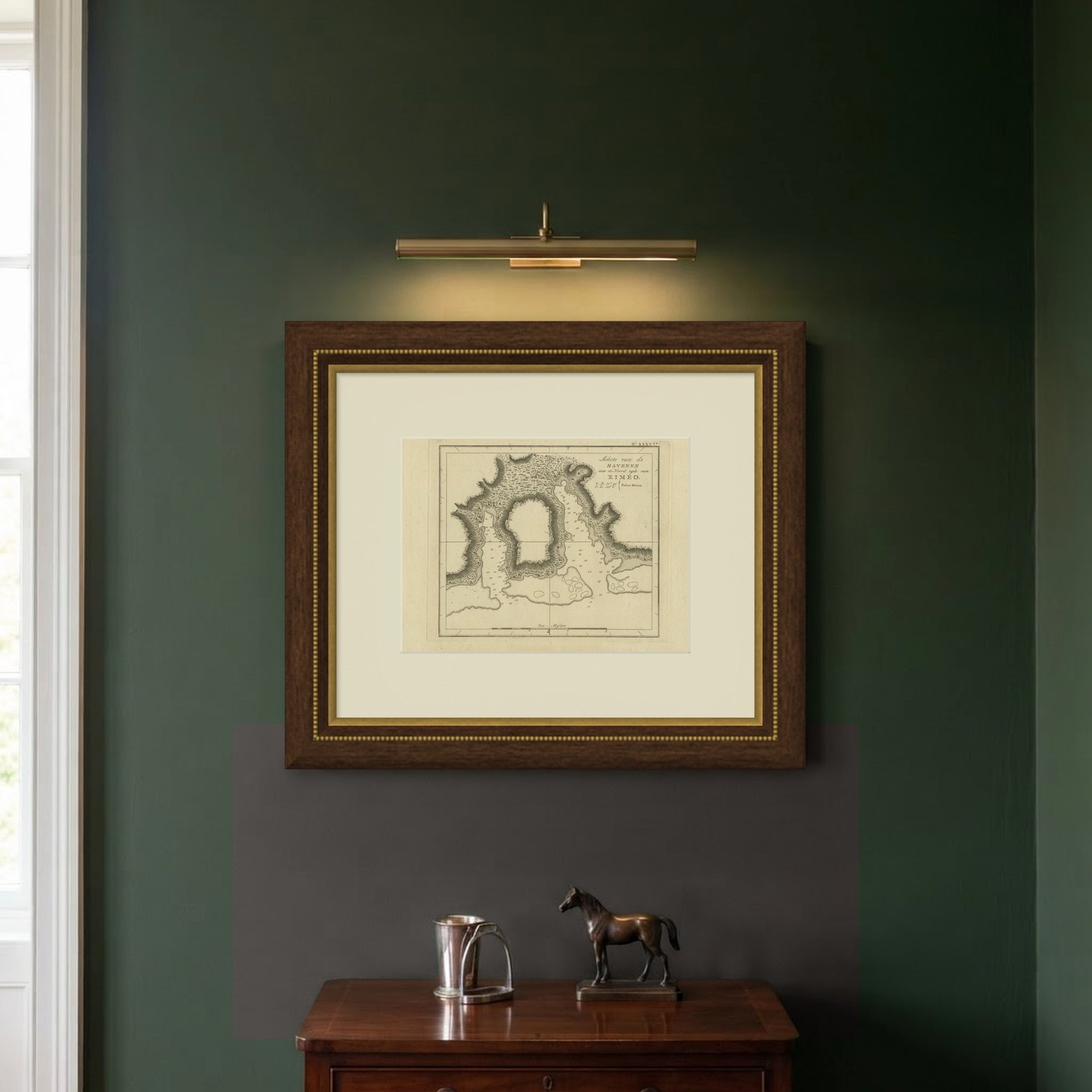

Frame and rooms are illustrations of how the piece could look; it is sold unframed unless the description says otherwise.
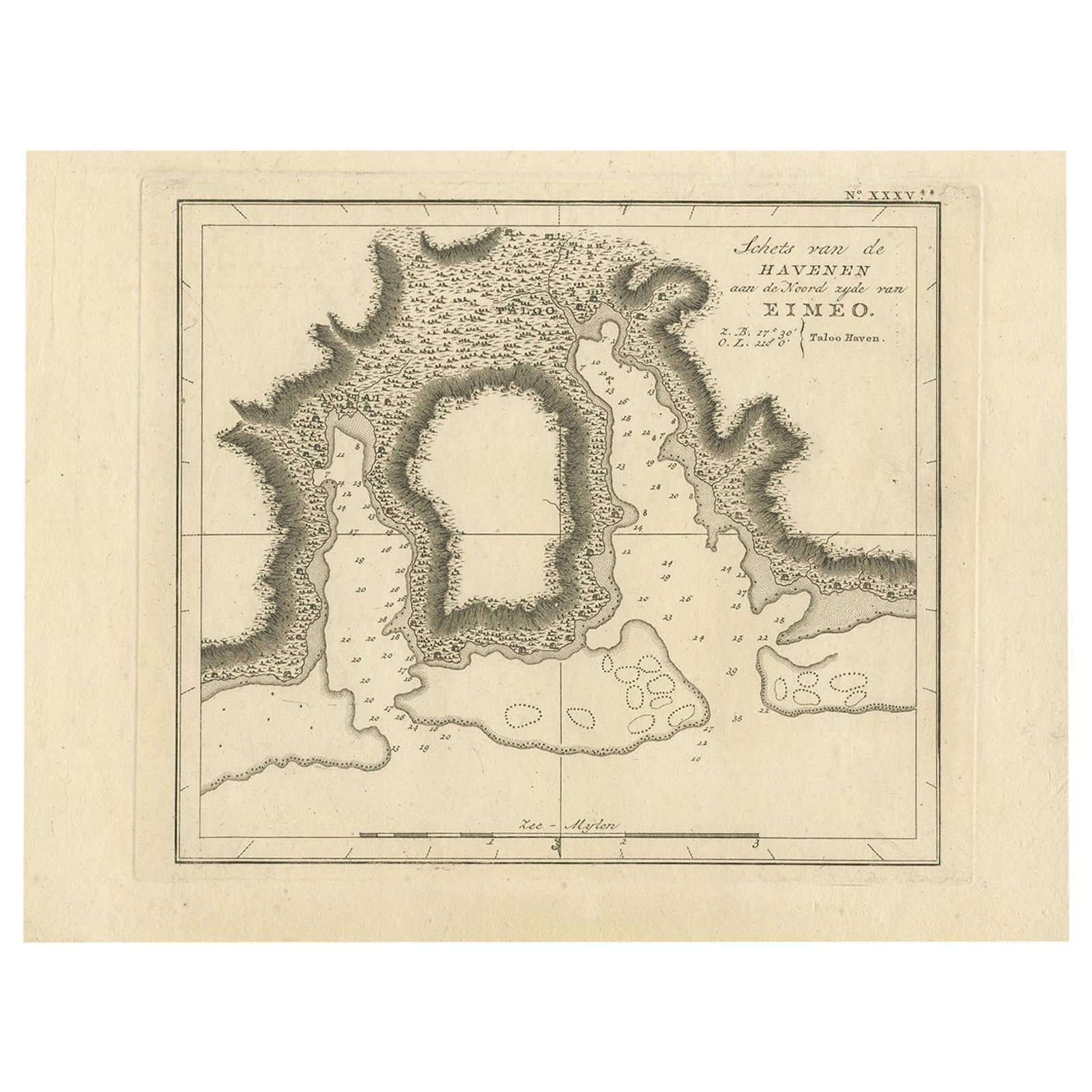
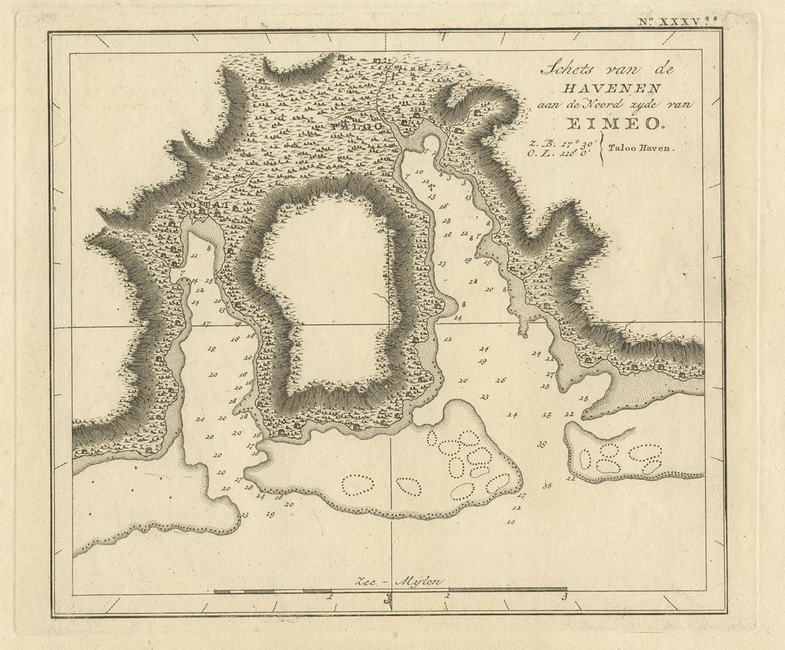
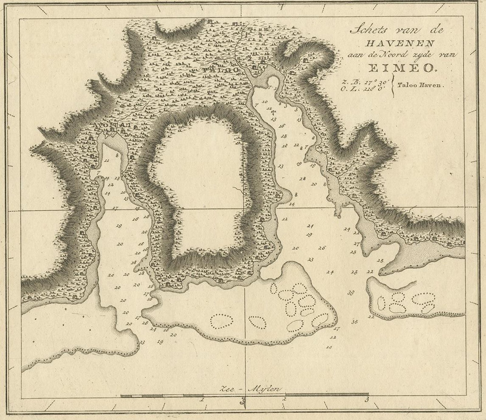
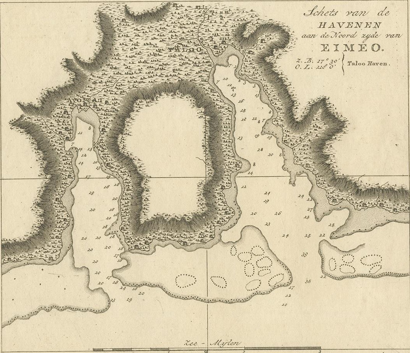
Antique Map of the Harbour of Taloo by J. Cook, 1803
£235
$315 · €280
Original print, not a reproduction.
Ships worldwide from the Netherlands, flat, insured and tracked. 14-day returns.
- Date
- 1803
- Sheet size
- 9.3 × 12 in (23.5 × 30.5 cm)
- Condition
- Good. General age-related toning, please study image carefully.
- Collection
- Voyages of discovery
- Era
- 1790 to 1849, Age of sail
- Stock no.
- f_13291132
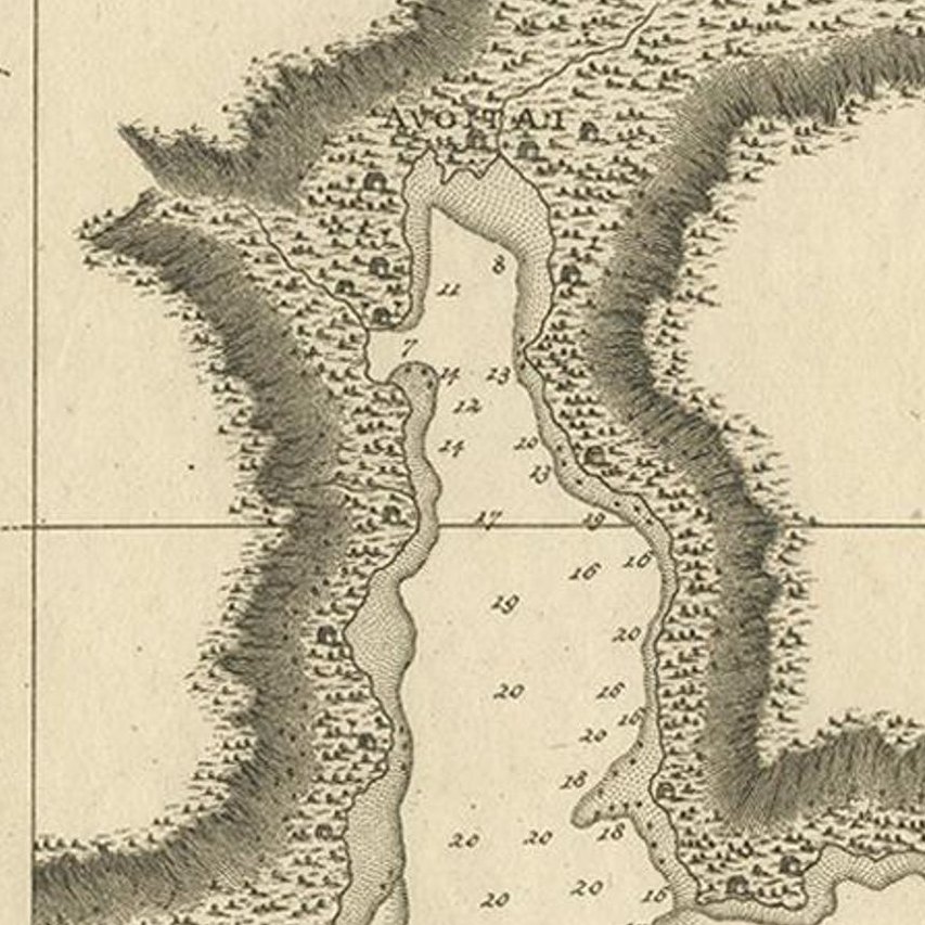
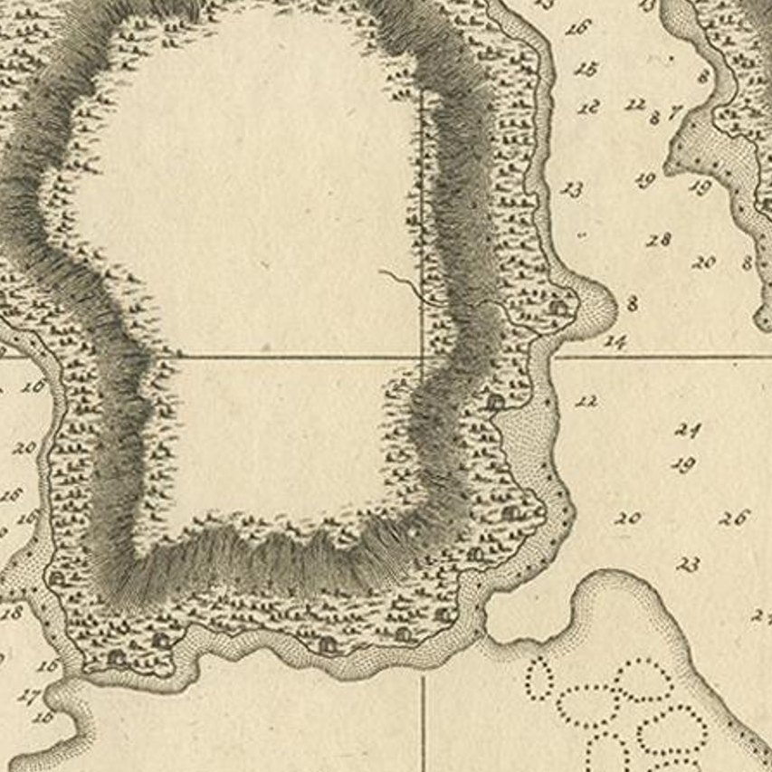
Antique map French Polynesia titled 'Schets van de Havenen aan de Noord Zijde van Eimeo'. Plan of the harbour of Taloo in the Island of Moorea, one of the Society Islands, French Polynesia. Originates from 'Reize rondom de Waereld door James Cook (..)'.
EXPLORE