Close-ups
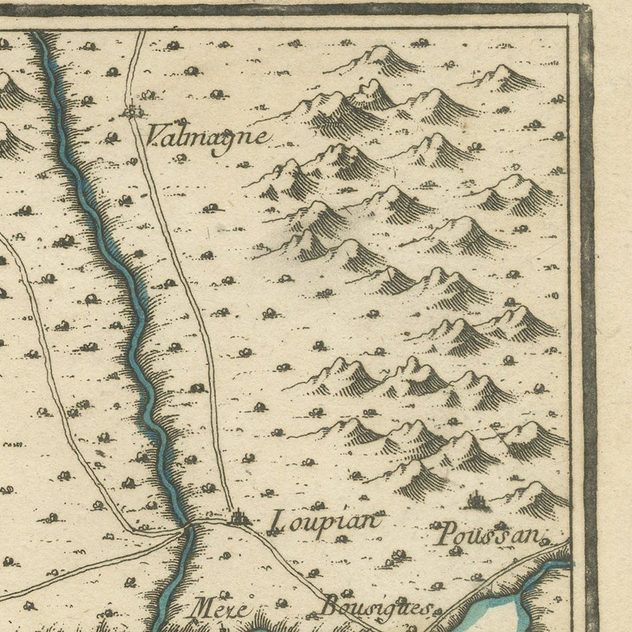
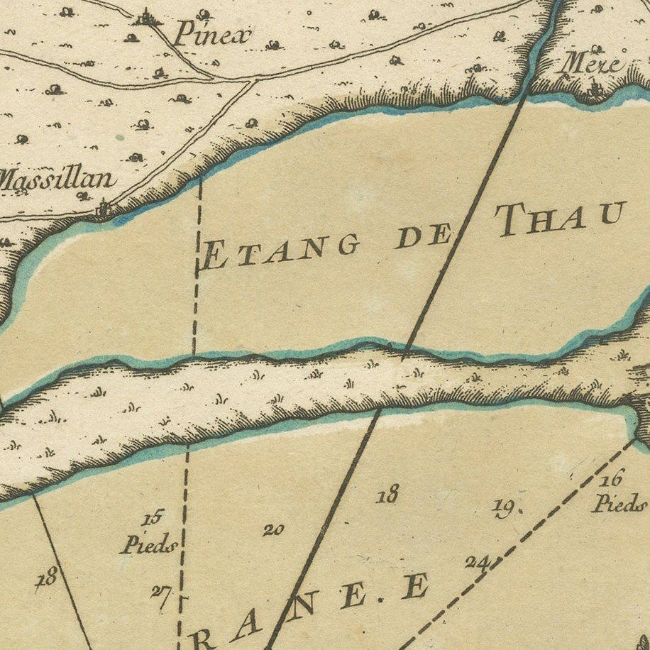
Framed and on the wall
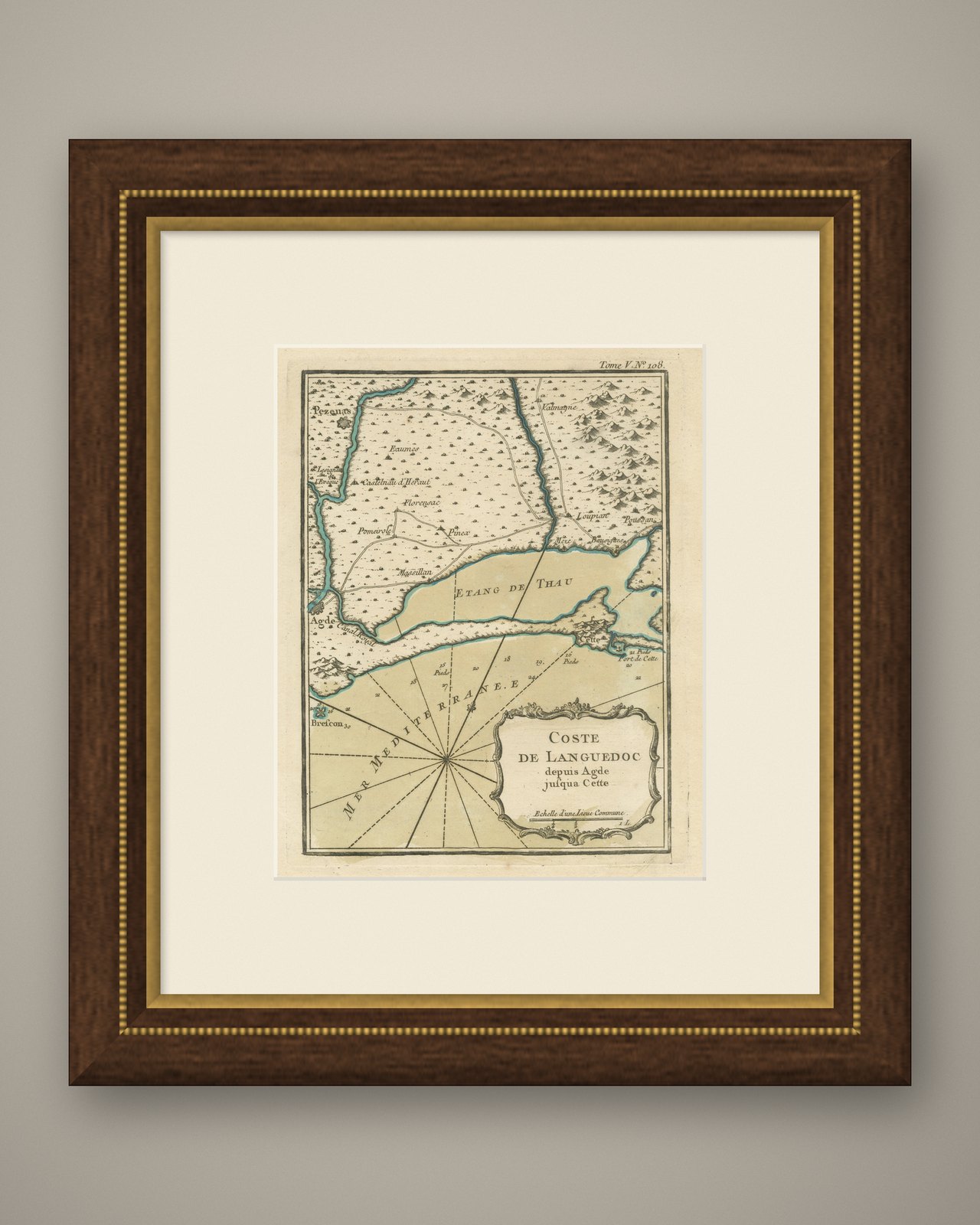
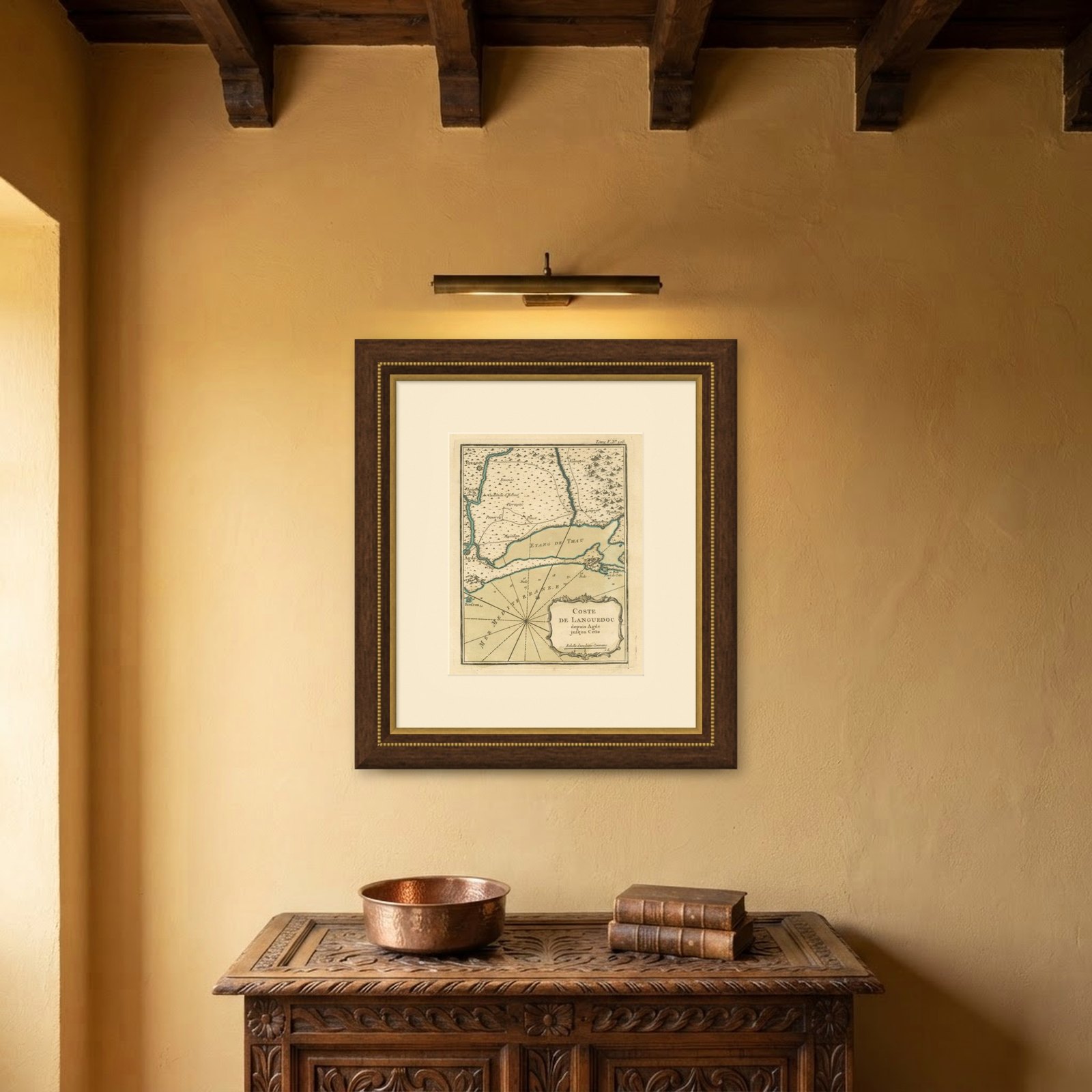
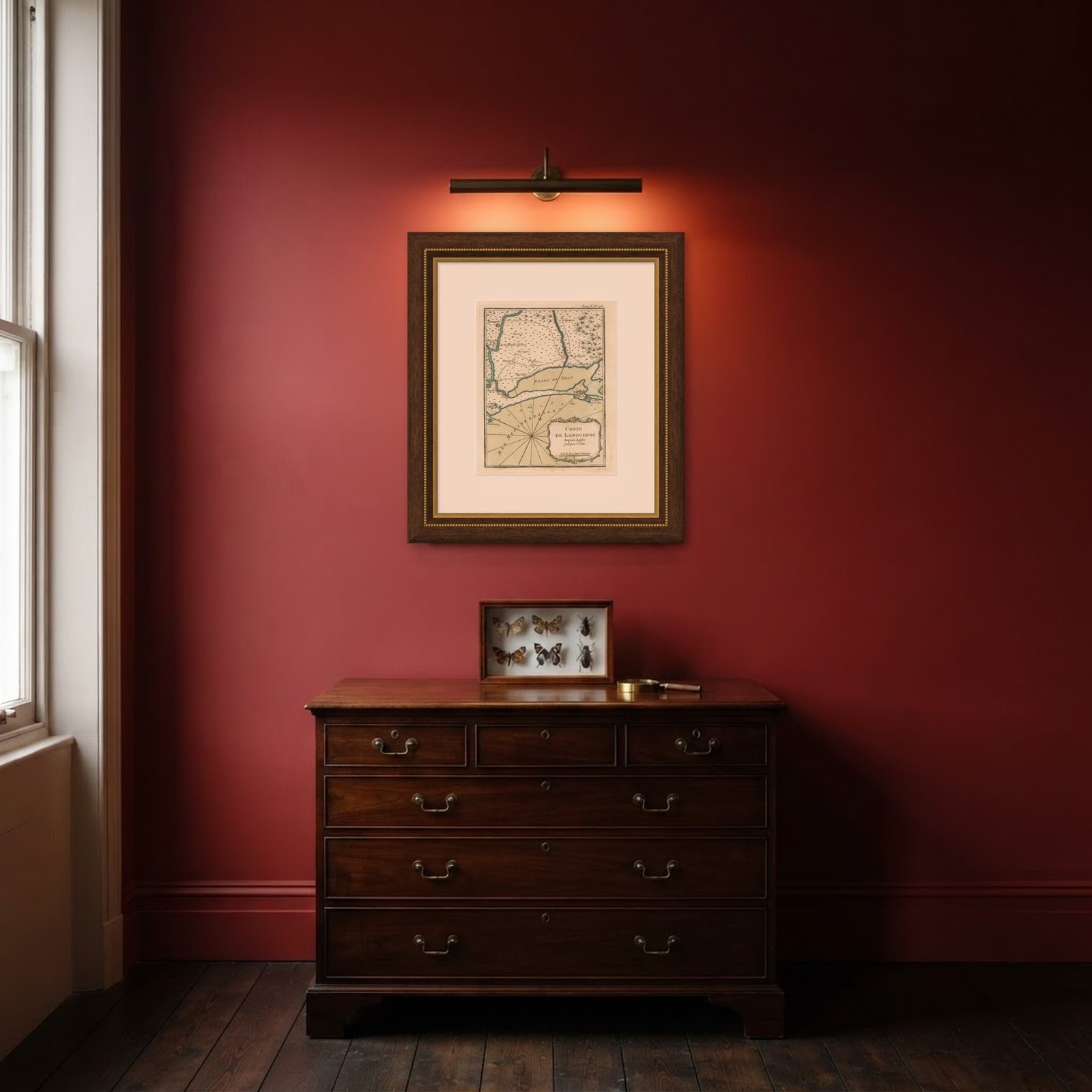
Frame and rooms are illustrations of how the piece could look; it is sold unframed unless the description says otherwise.
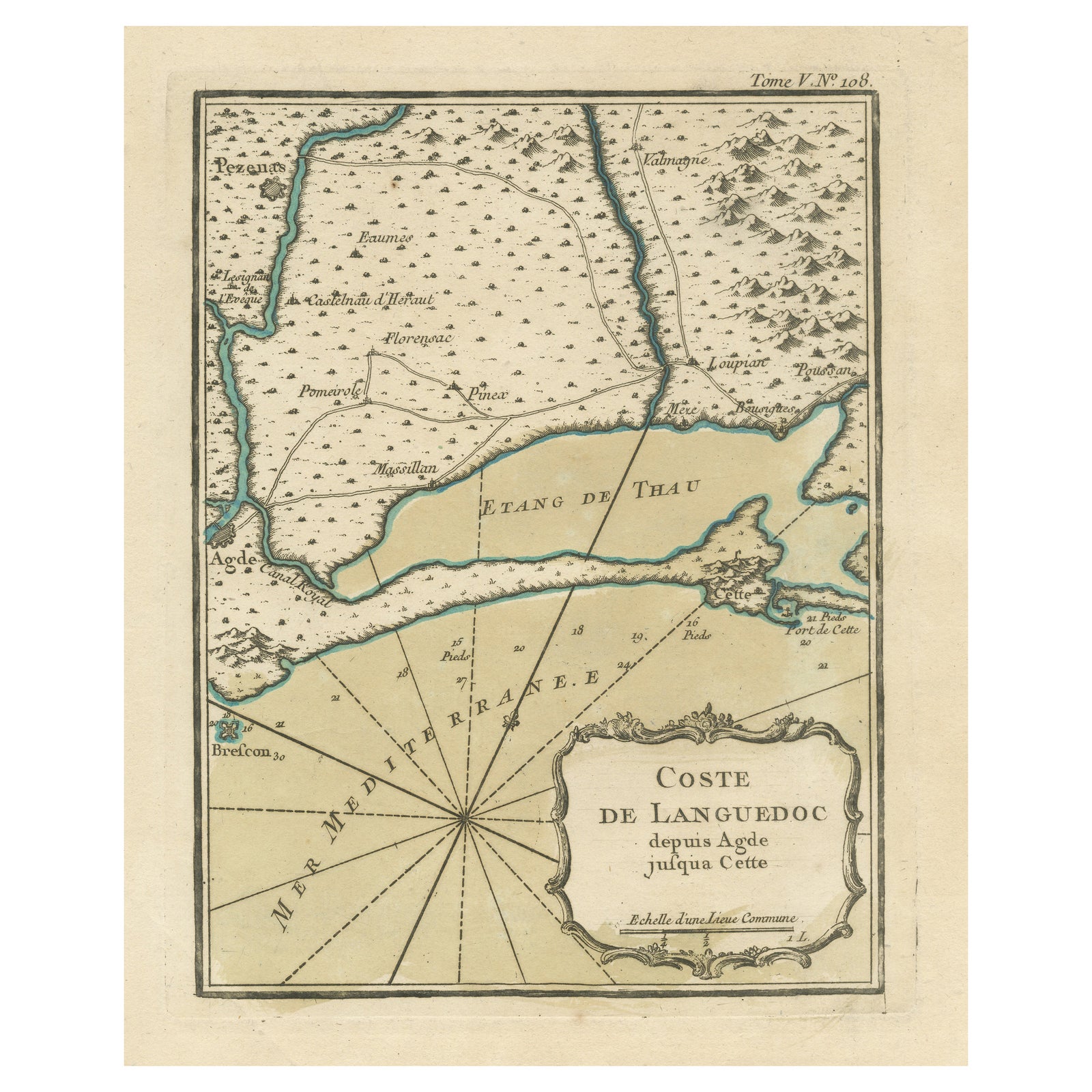
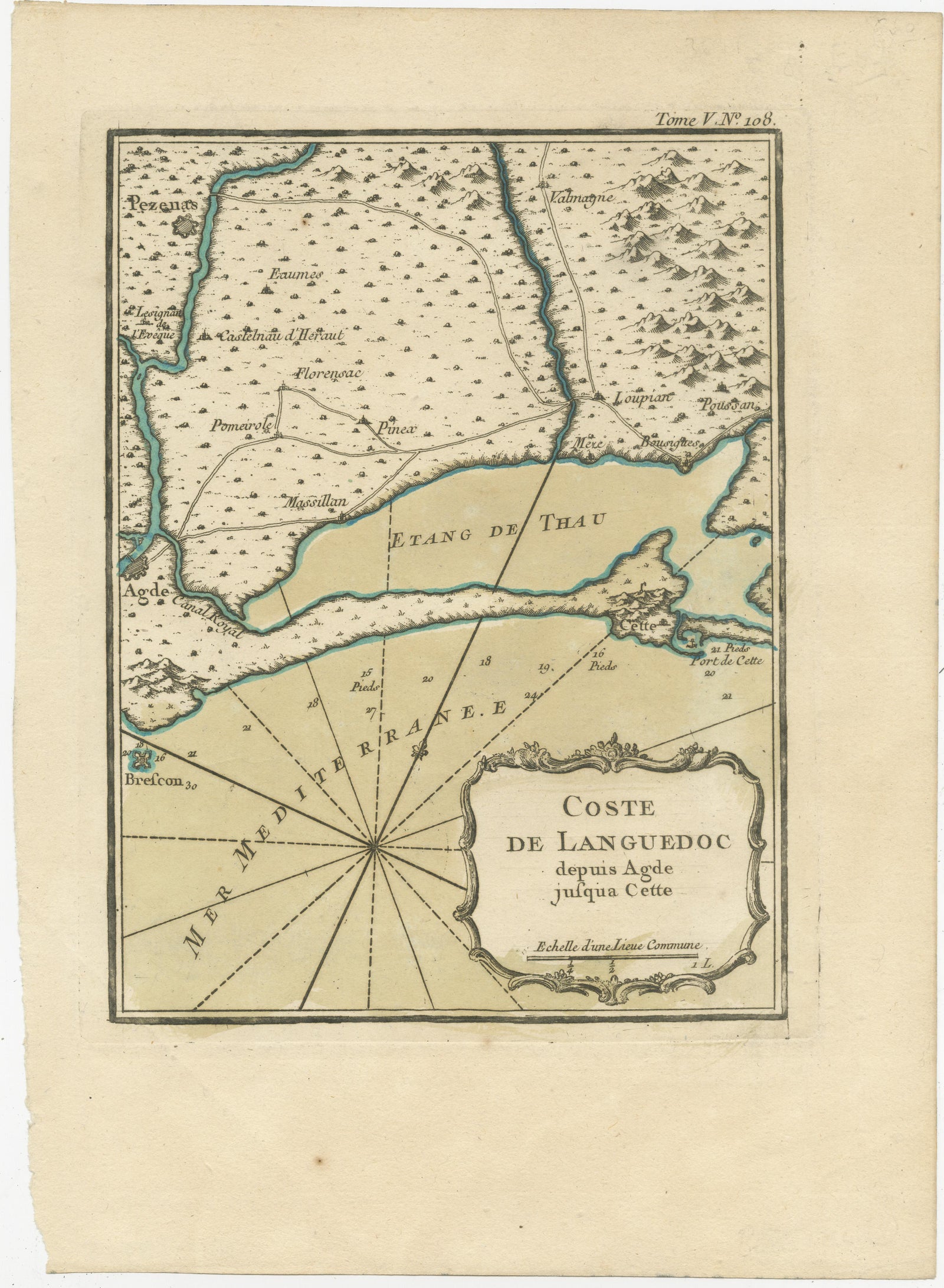
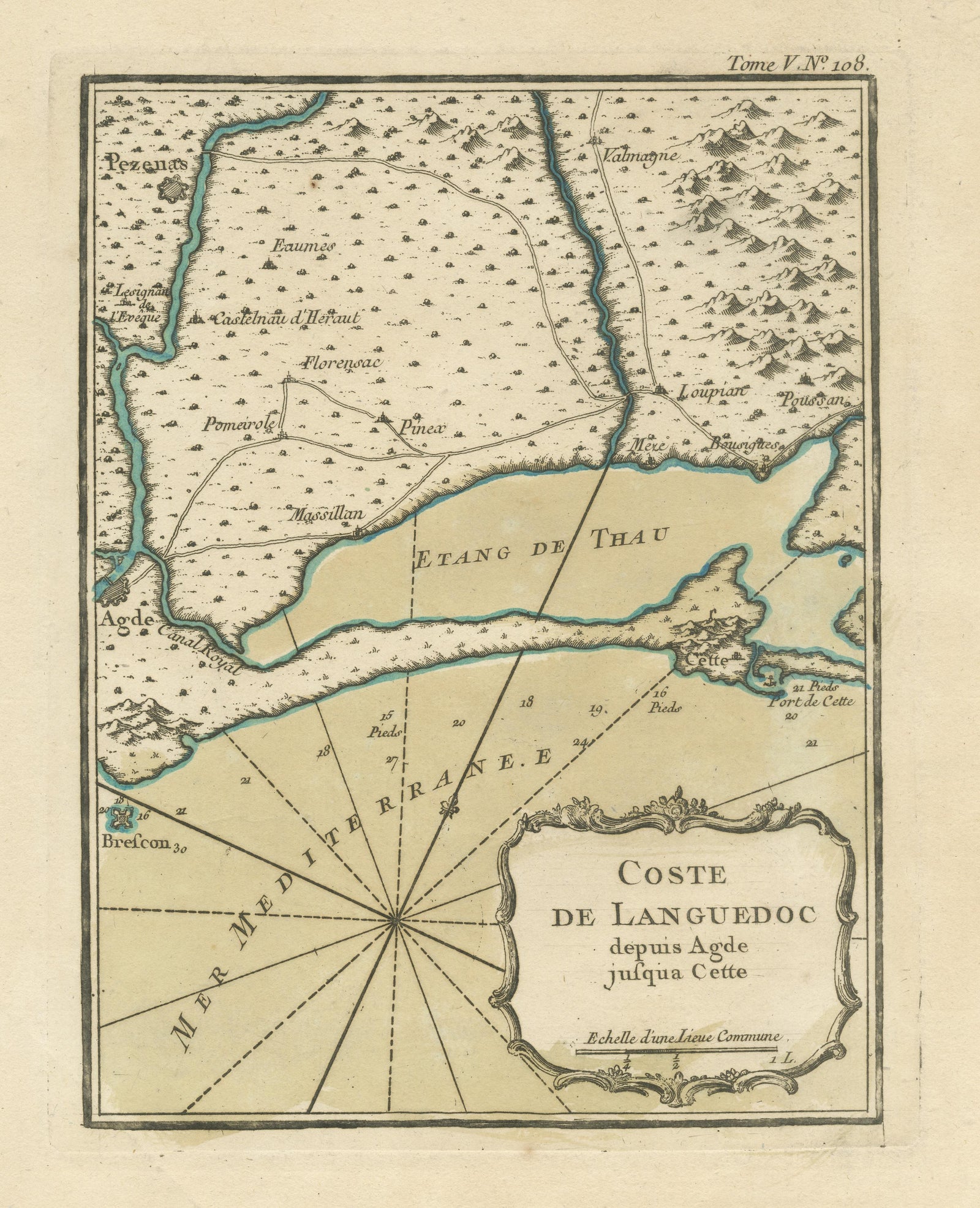
Antique Map of the Languedoc Coast between Agde and Sète 'Cette', France
€340
$380 · £290
Original print, not a reproduction.
Ships worldwide from the Netherlands, flat, insured and tracked. 14-day returns.
- Date
- Not stated
- Sheet size
- 12.5 × 9 in (31.7 × 22.8 cm)
- Condition
- Good. General age-related toning. Light creasing. Minor wear and soiling, blank verso. Please study image carefully.
- Collection
- Sea charts
- Stock no.
- f_33644782
Antique map titled 'Coste de Languedoc depuis Agde jusqu'a Cette'. Original map of the Languedoc coast between Agde and Sète (historically Cette), France. This map originates from 'Le Petit Atlas Maritime (..)' by J.N. Bellin. Published 1764.
Bellin was an important maker of charts for the French Depot de la Marine. He was born in Paris in 1703 and educated as an engineer. He produced many important charts and published them individually and in compilations. The Neptune Francais was published in 1753 and the Hydrographie Francaise in 1756. His largest and most comprehensive work is the Petit Atlas Maritime.
EXPLORE