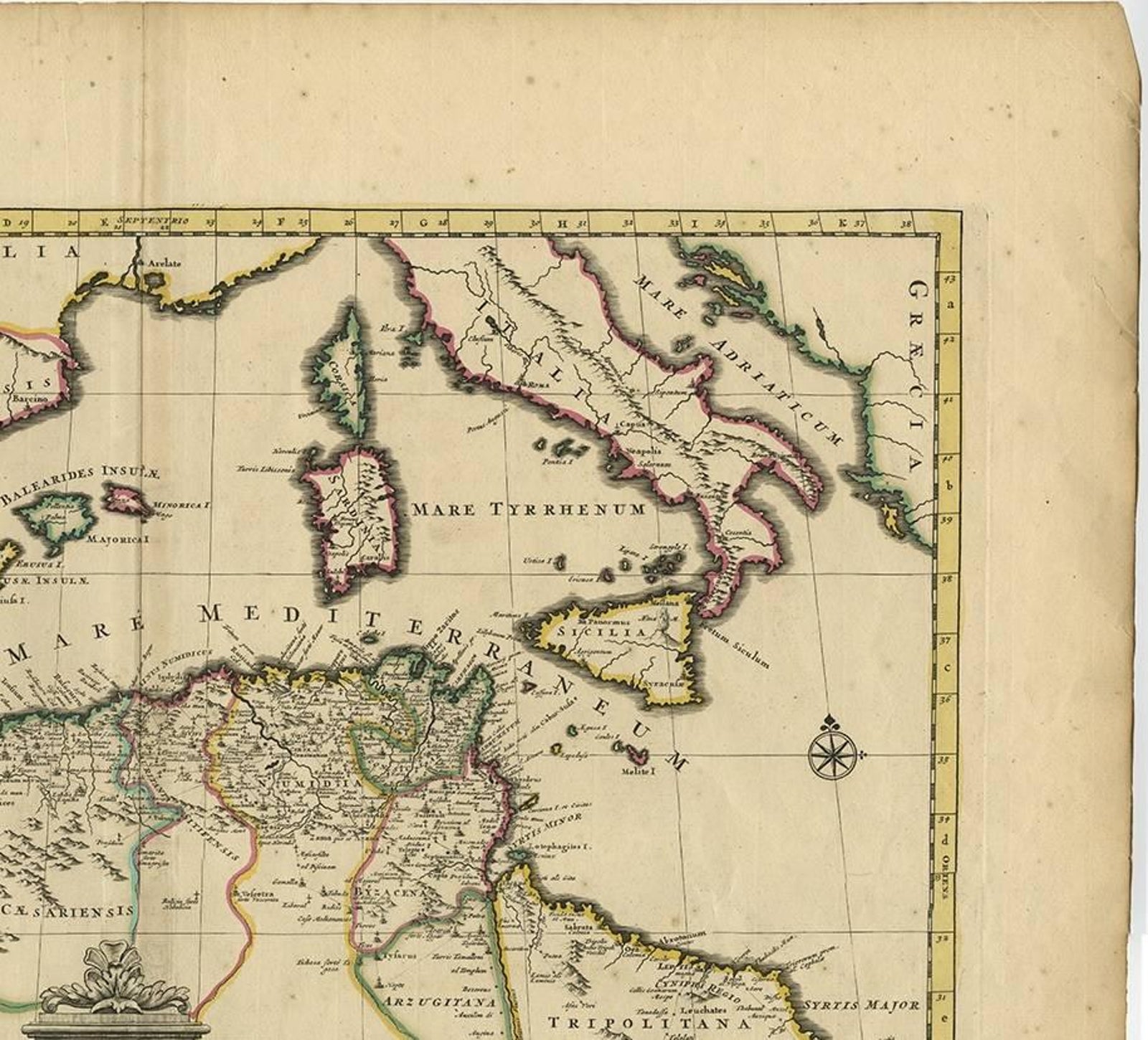
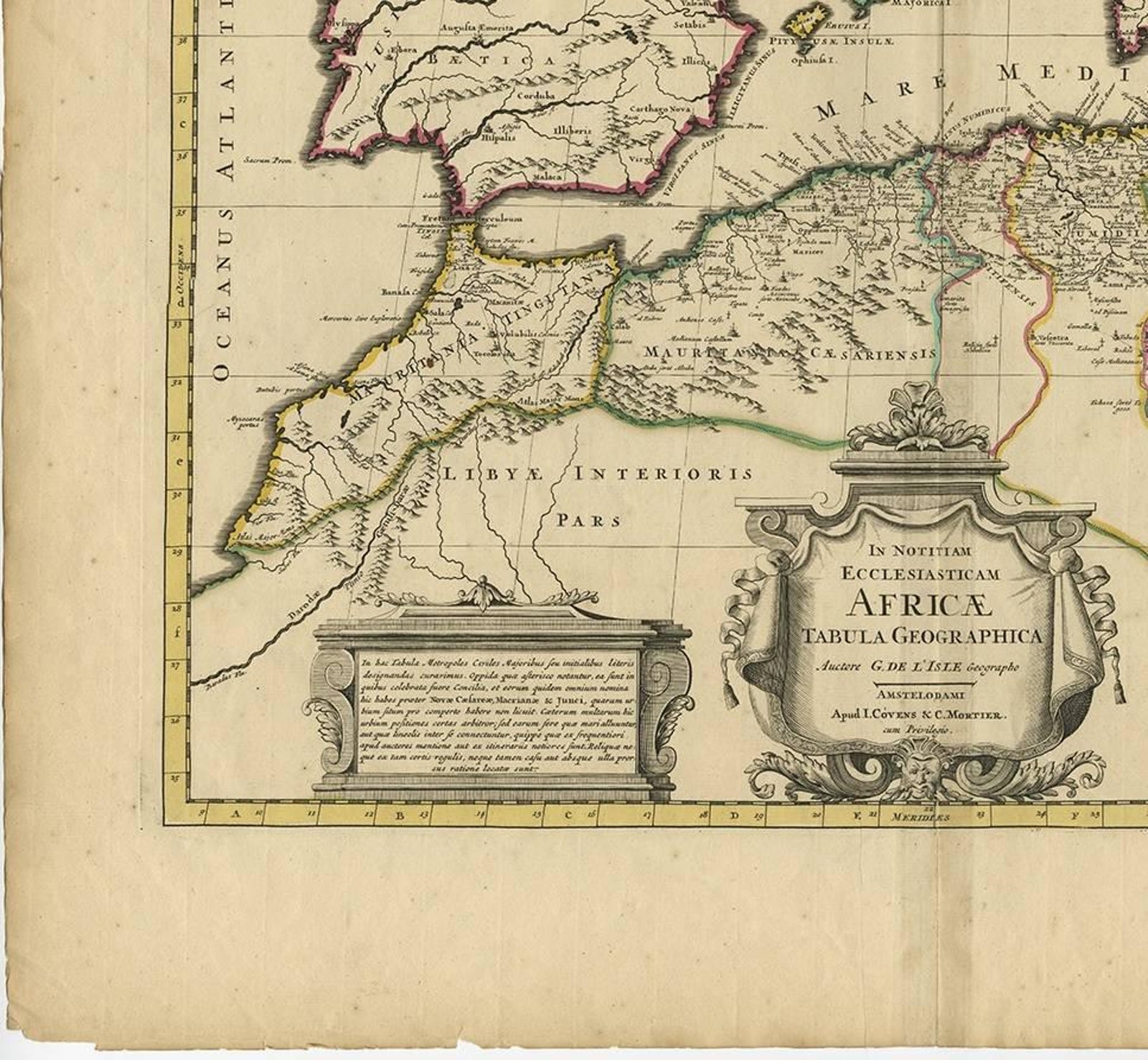
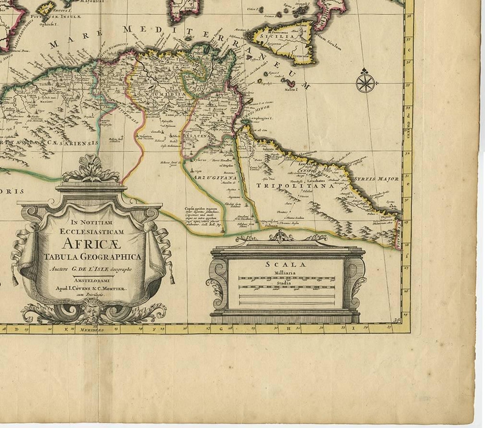
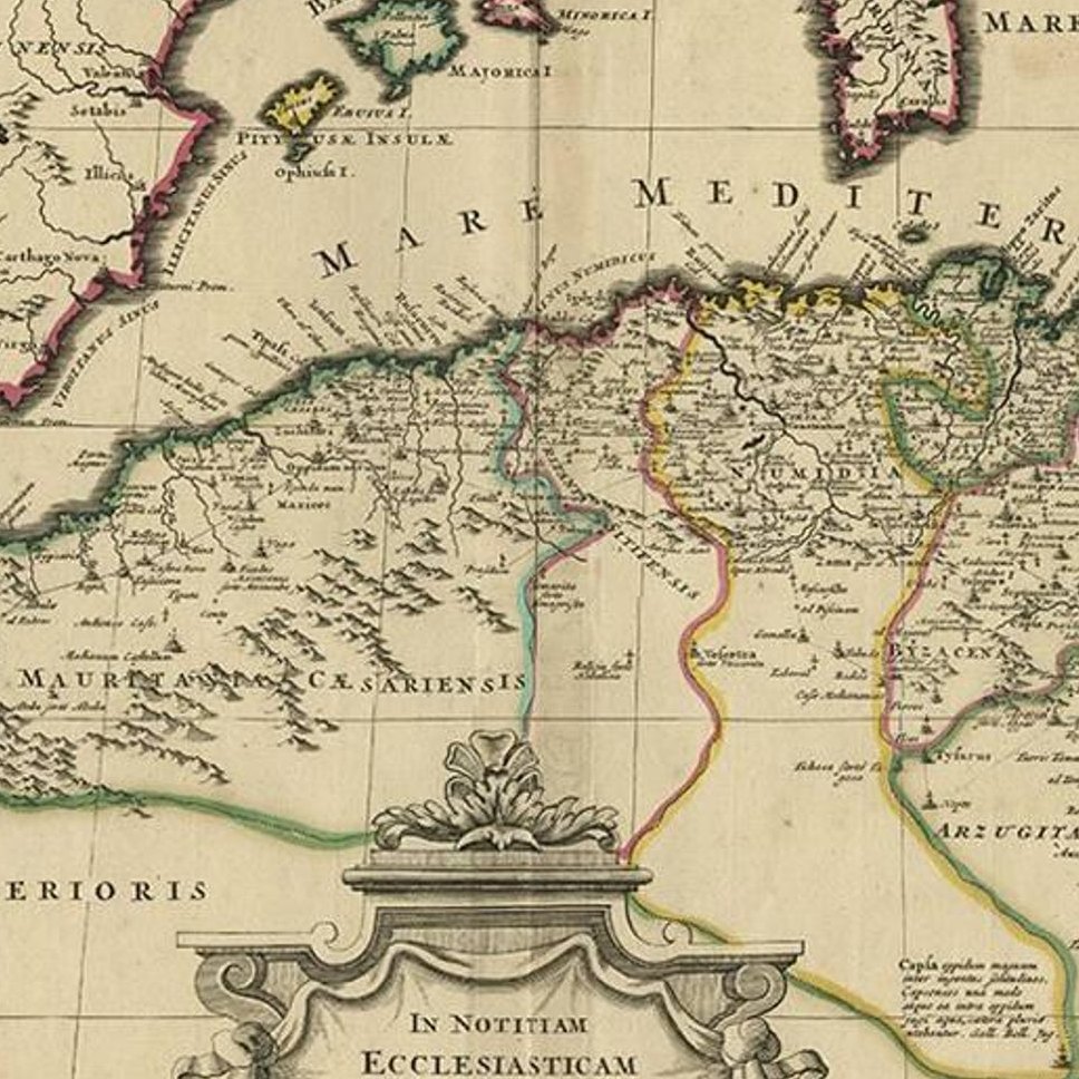
Close-ups
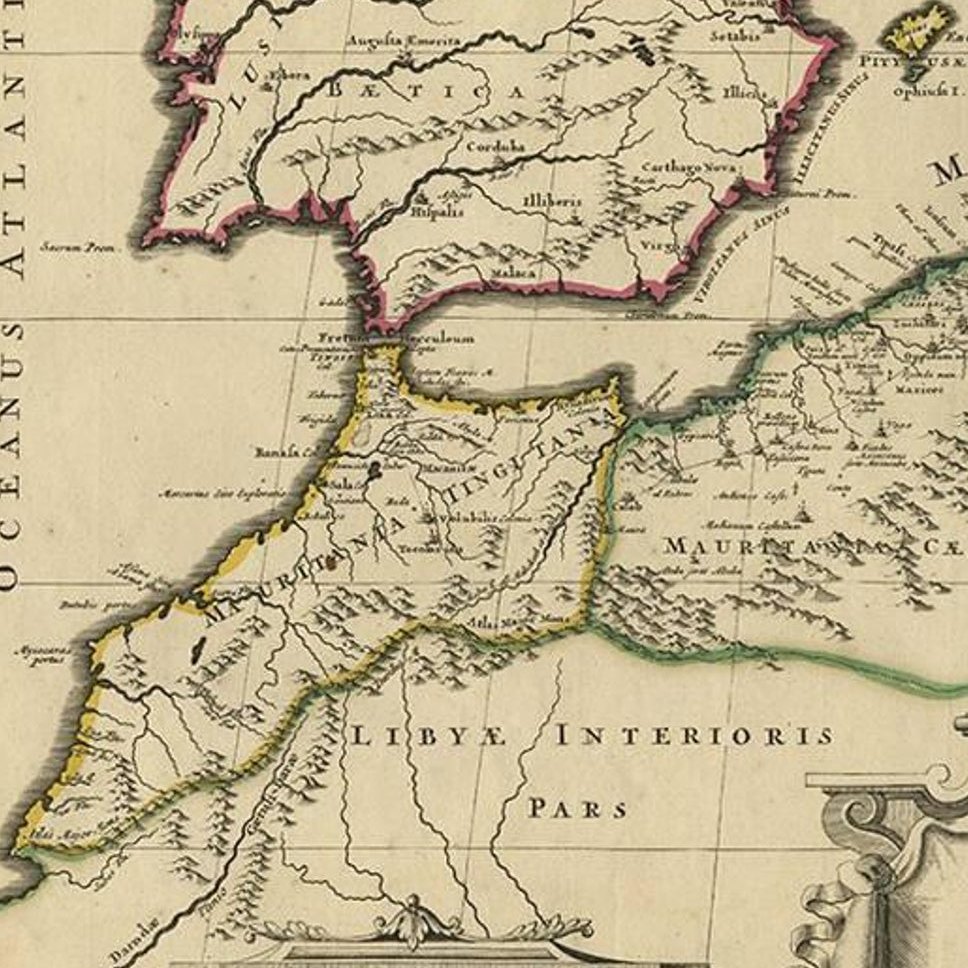
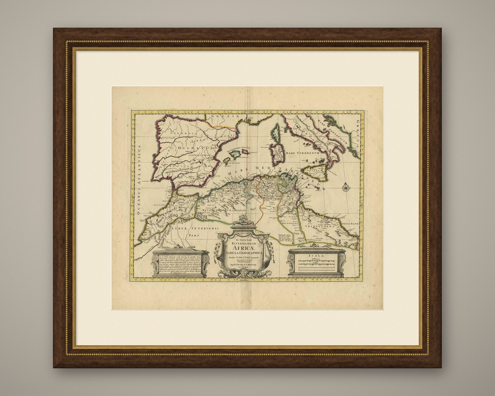
Framed and on the wall
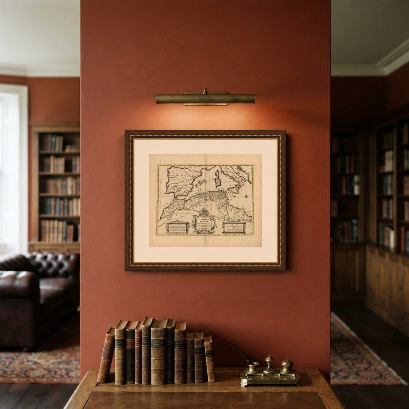
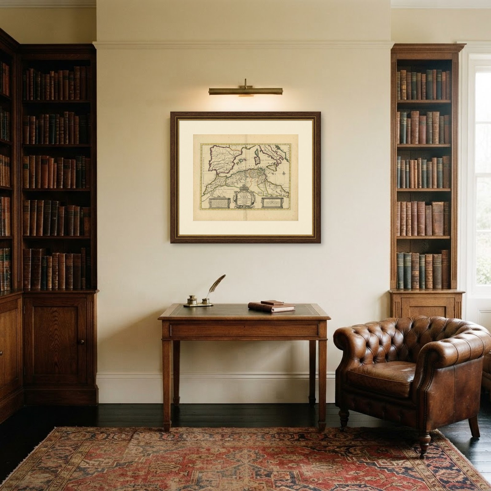
Frame and rooms are illustrations of how the piece could look; it is sold unframed unless the description says otherwise.
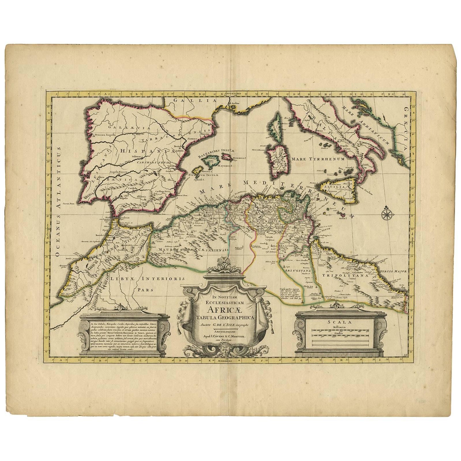
Antique Map of the Northern Coast of Africa and Southern Europe, circa 1745
$360
€320 · £270
Original print, not a reproduction.
Ships worldwide from the Netherlands, flat, insured and tracked. 14-day returns. To buy, use Ask a question and we will reserve it for you.
- Date
- 1745
- Sheet size
- 21.1 × 25.4 in (53.5 × 64.5 cm)
- Condition
- Good. Original hand-colouring. Please study images carefully.
- Collection
- Sea charts
- Era
- 1700 to 1789, Age of discovery
- Stock no.
- f_8972331
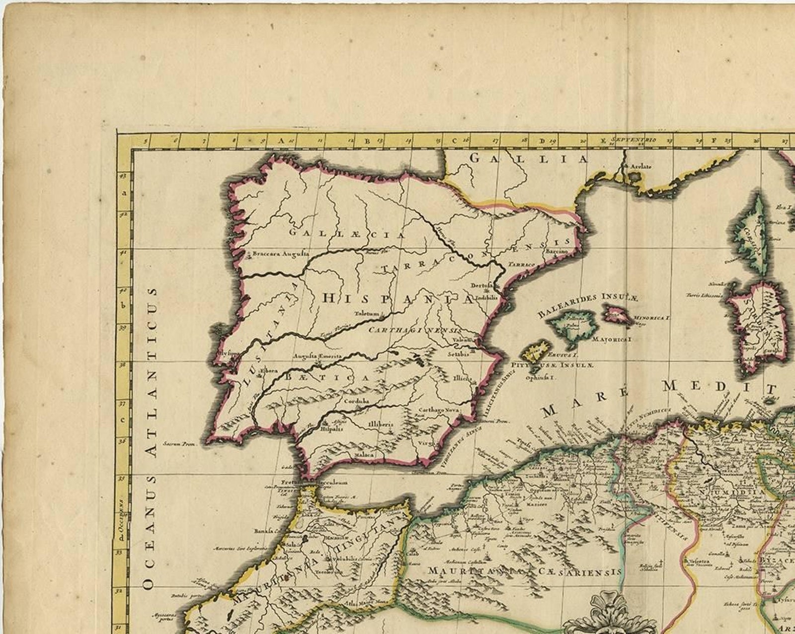
Antique map titled 'In Notitiam Ecclesiasticam Africae Tabula Geographica'. Very decorative hand-colored map of the northern coast of Africa, Spain, Italy and the Mediterranean with the islands of Sardinia, Corsica, Majorca, Minorca etc. Sicily features a smoking Mount Aetna. Embellished with three architectural cartouches and a compass rose.
EXPLORE