Close-ups
Framed and on the wall
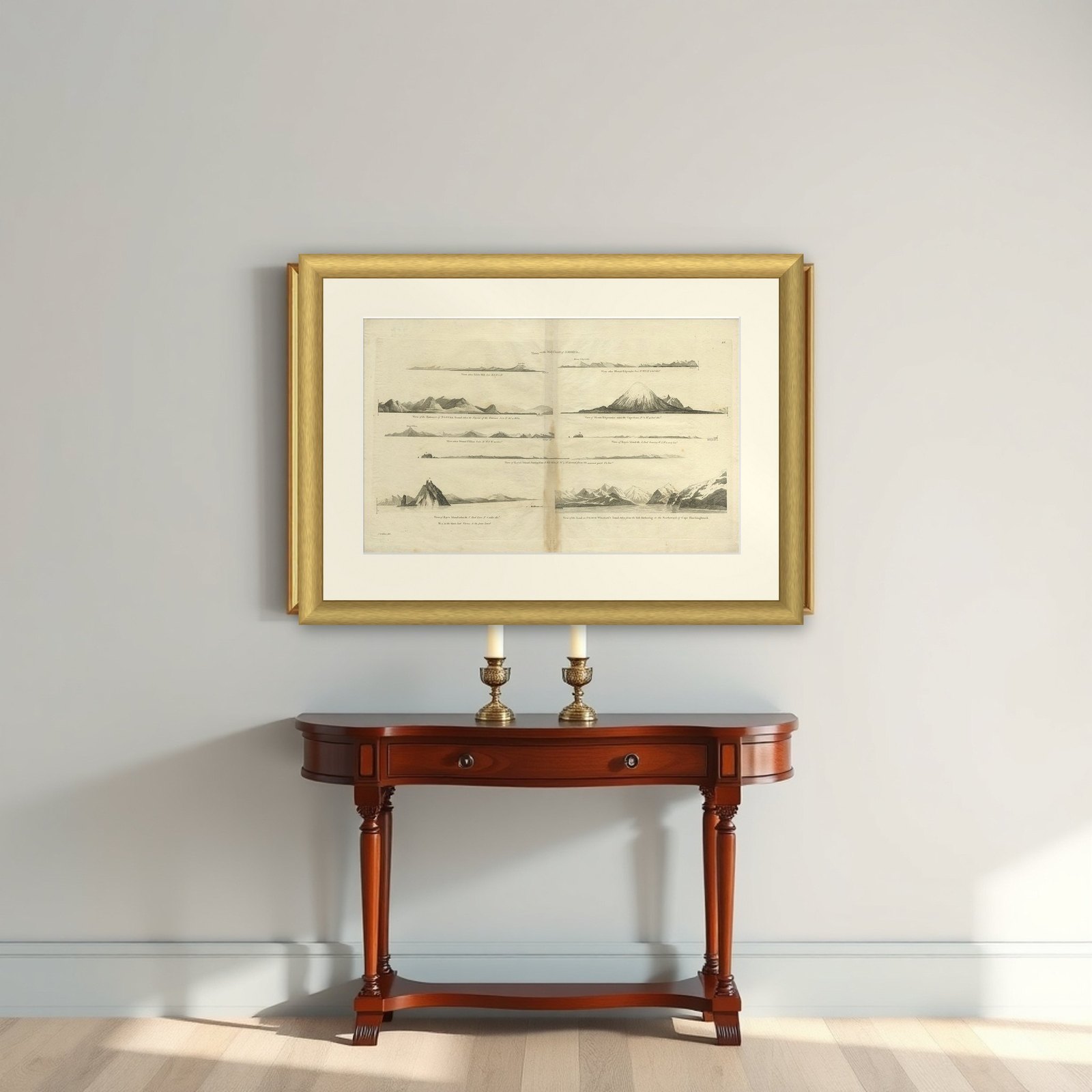
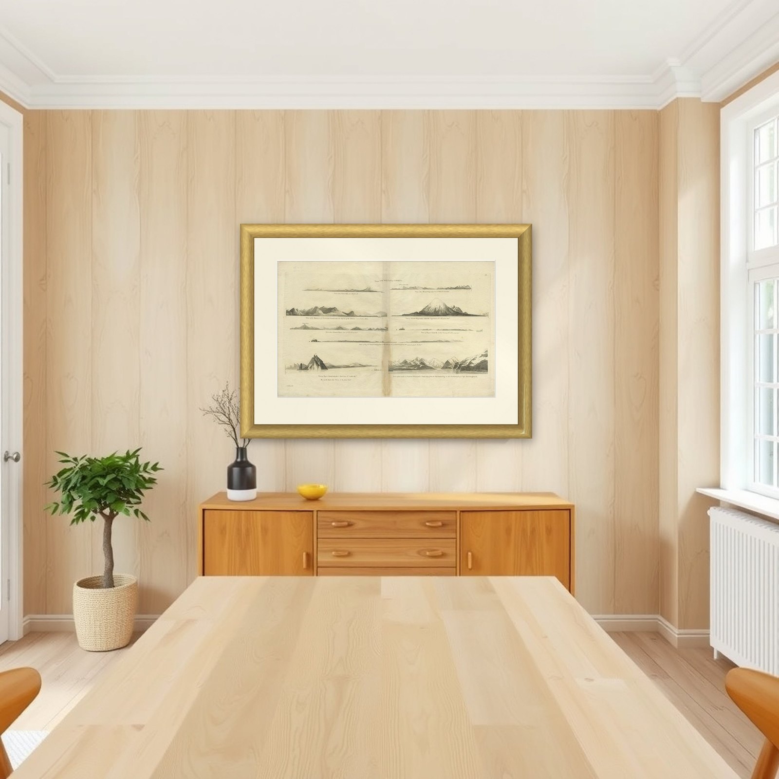
Frame and rooms are illustrations of how the piece could look; it is sold unframed unless the description says otherwise.
Antique Map of the West Coast of America with Island Views, ca.1784
€450
$505 · £380
Original print, not a reproduction.
Ships worldwide from the Netherlands, flat, insured and tracked. 14-day returns. To buy, use Ask a question and we will reserve it for you.
- Date
- 1784
- Sheet size
- 11.8 × 19.3 in (30 × 49 cm)
- Condition
- Good
- Collection
- Sea charts
- Era
- 1700 to 1789, Age of discovery
- Stock no.
- f_26624562
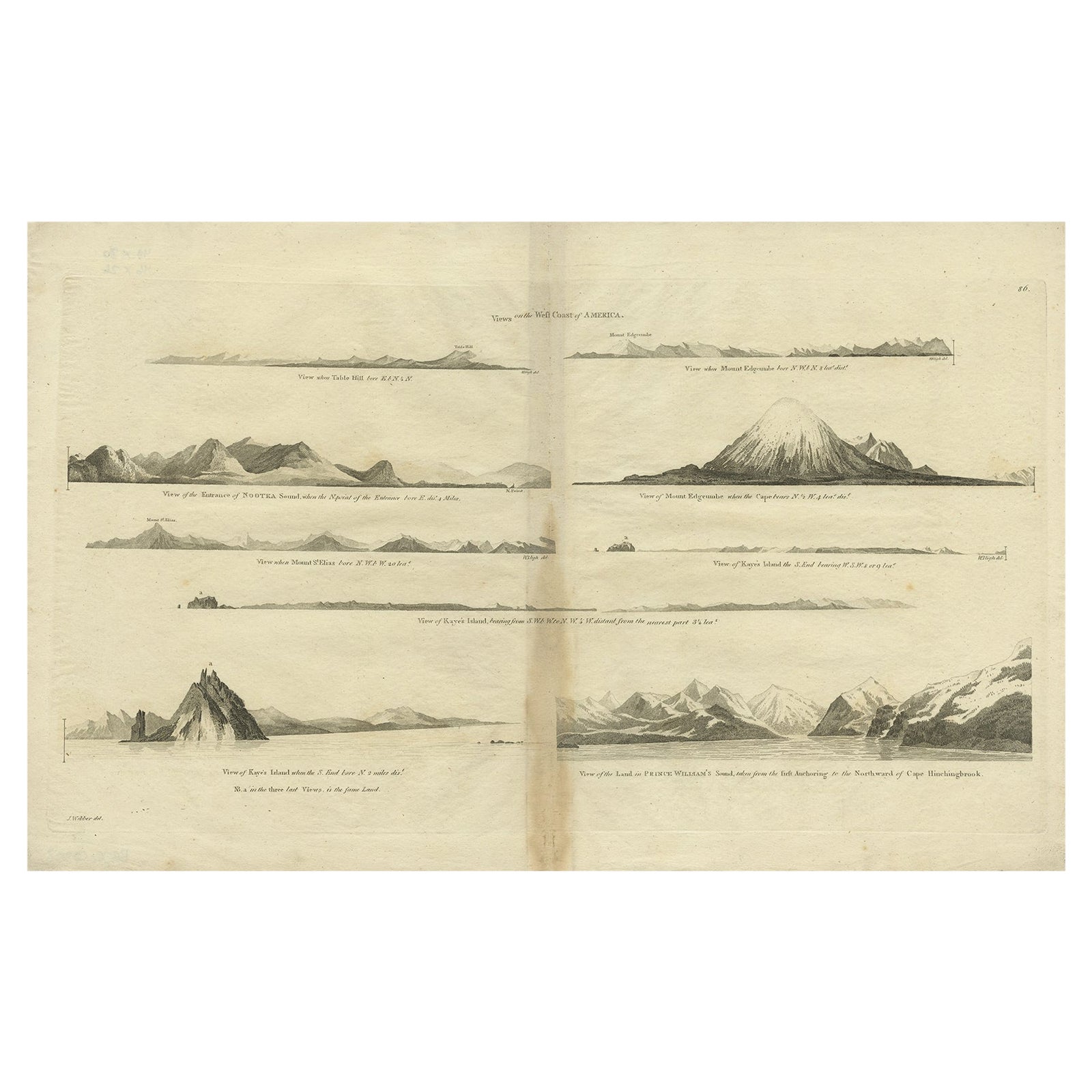
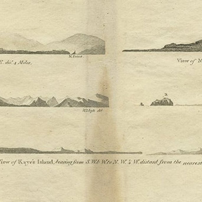
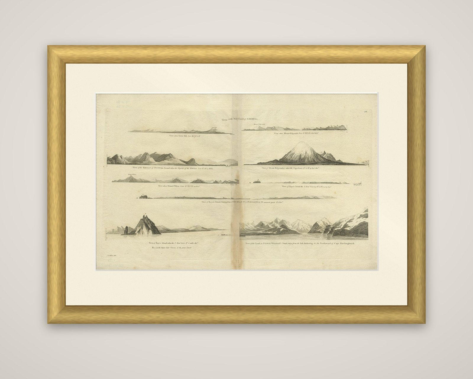
Views on the West Coast of America, an original copper engraving of coastal profiles from an edition of the accounts of Captain James Cook's voyages, dated c.1784. The sheet is printed in black and lettered "Views on the West Coast of America" at the top.
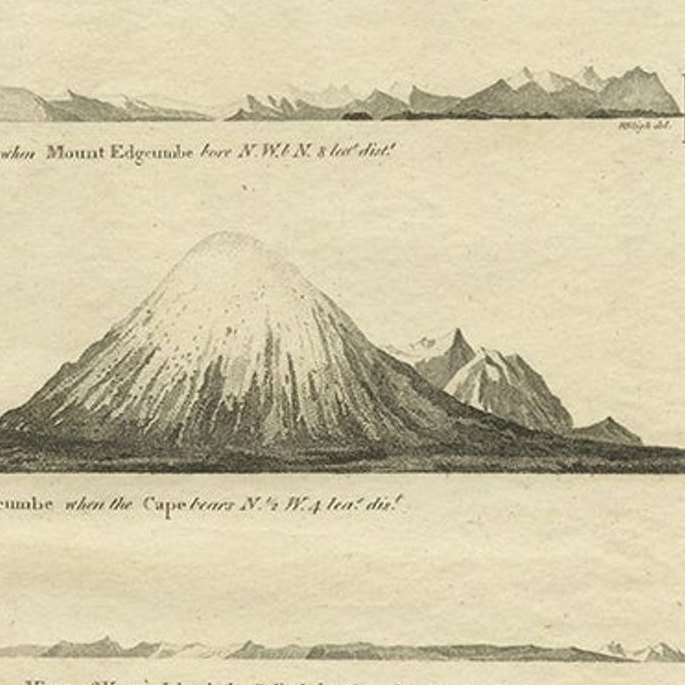
Eight views are arranged on the sheet, each with its own caption naming the headland and the bearing from which it was seen. The largest, at the lower left, shows Kayes Island rising steeply as a pointed rock from the sea, and the one at the lower right shows the high, snow-covered land of Prince William's Sound behind a glacier shore. Others show the entrance of Nootka Sound, Mount Edgecumbe, the long low outline of Kayes Island from the west, and distant coastal ranges. The profiles were drawn so that later navigators could recognize the shore from sea, and each carries notes of the distance at which it was taken.
The plates belong to the account of Cook's third voyage, which explored the North Pacific coast from Nootka Sound to the Bering Strait in 1778.