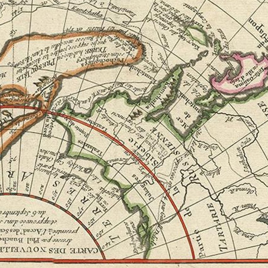
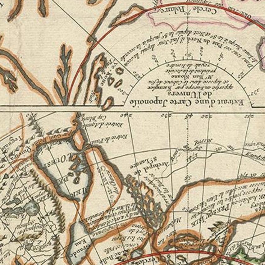
Close-ups
Framed and on the wall
Frame and rooms are illustrations of how the piece could look; it is sold unframed unless the description says otherwise.
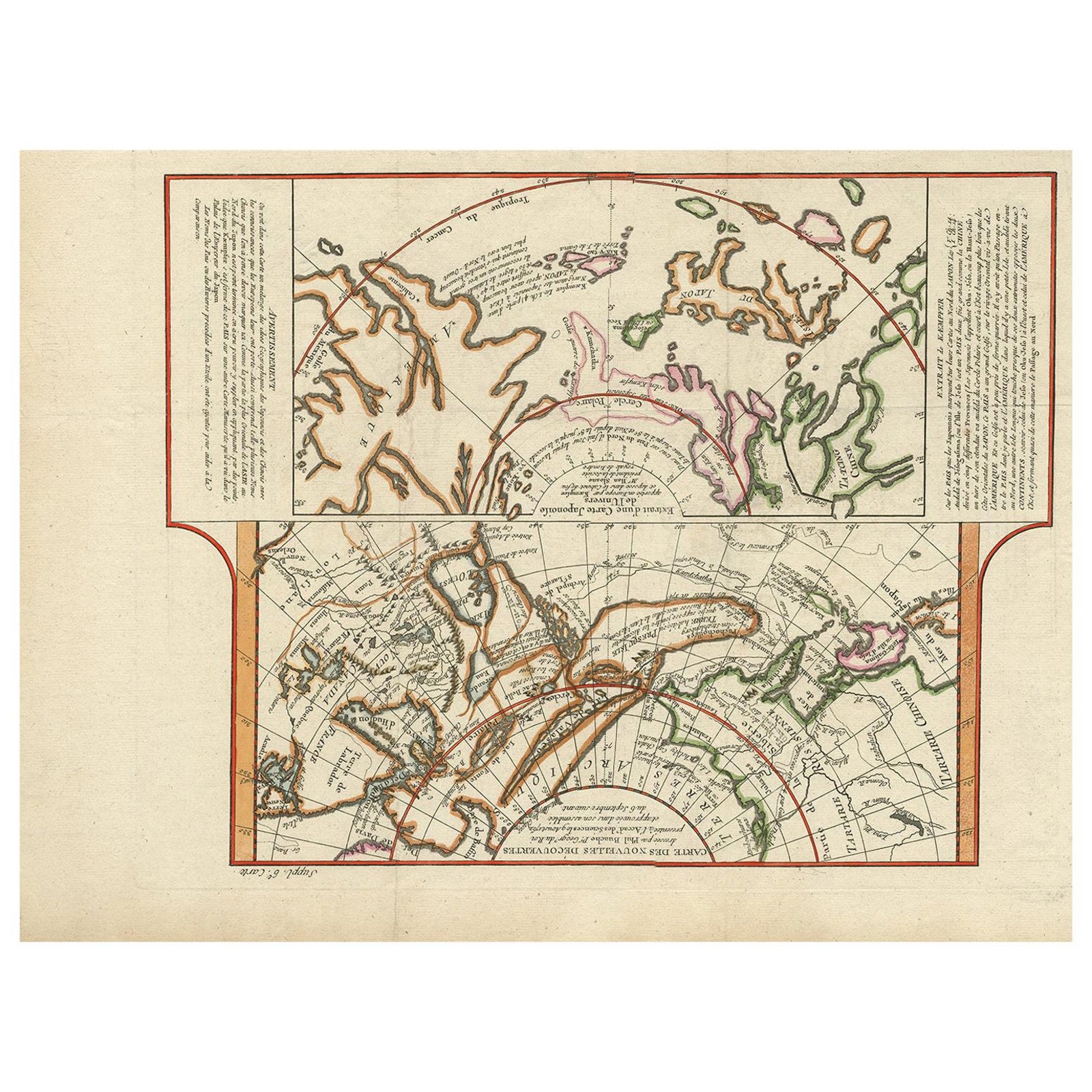
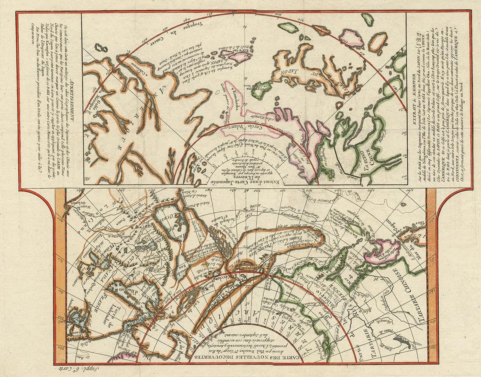
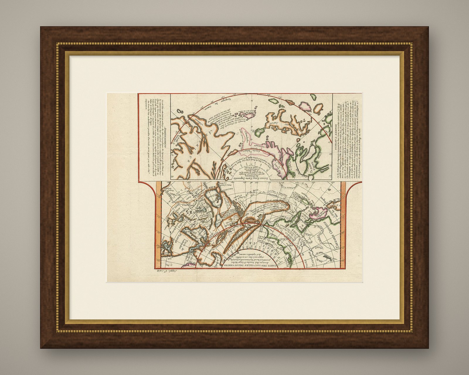
Antique Map of the West Coast of North America & North East Coast of Asia '1772'
€650
$730 · £550
Original print, not a reproduction.
Ships worldwide from the Netherlands, flat, insured and tracked. 14-day returns. To buy, use Ask a question and we will reserve it for you.
- Date
- 1772
- Sheet size
- 13.8 × 18.8 in (35 × 47.7 cm)
- Condition
- Good. Good, given age. Tiny hole in image; backed and only visble on verso. Original folds as issued. General age-related toning and/or occasional minor defects from handling. Please study images carefully.
- Collection
- Sea charts
- Era
- 1700 to 1789, Age of discovery
- Stock no.
- f_21367012
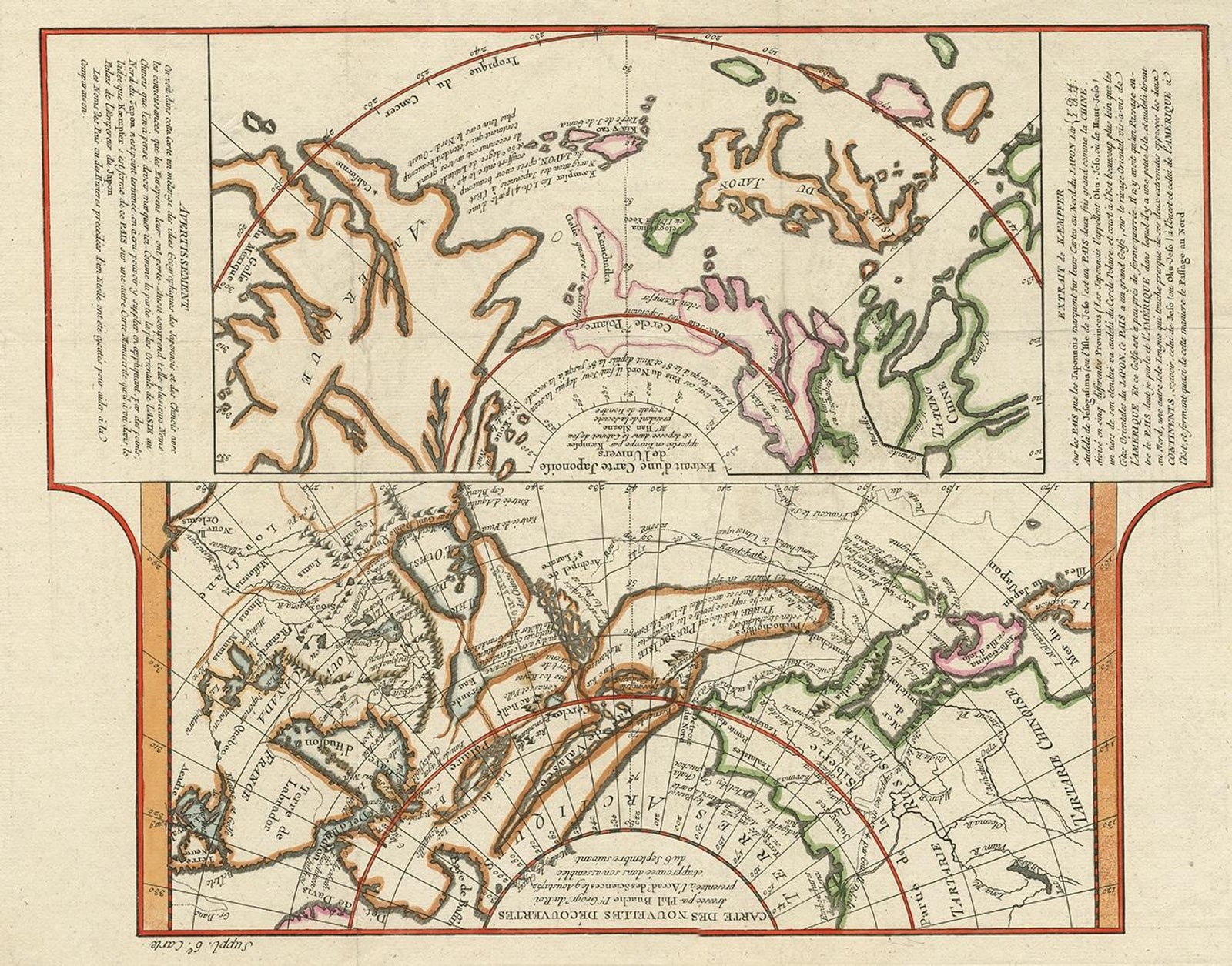
Antique map titled 'Carte des nouvelles decouvertes/ Extrait d'une Carte Japonoise de l'Universe'. Map of the West Coast of North America and North-East Coast of Asia, based upon Buache's report of the various Russian Discoveries between 1731 and 1742 including the various explorers routes and notes. The lower map is based upon a Japanese map taken back to Europe by Kaempfer.
The various Russian discoveries between 1731 and 1742 are shown in the upper map, including the Sea of the West and various explorers routes and notes. The bottom map is based upon a Japanese map taken by Kaempfer back to Europe. It depicts a fascinating and wholly different approach to the two regions.
EXPLORE