Close-ups
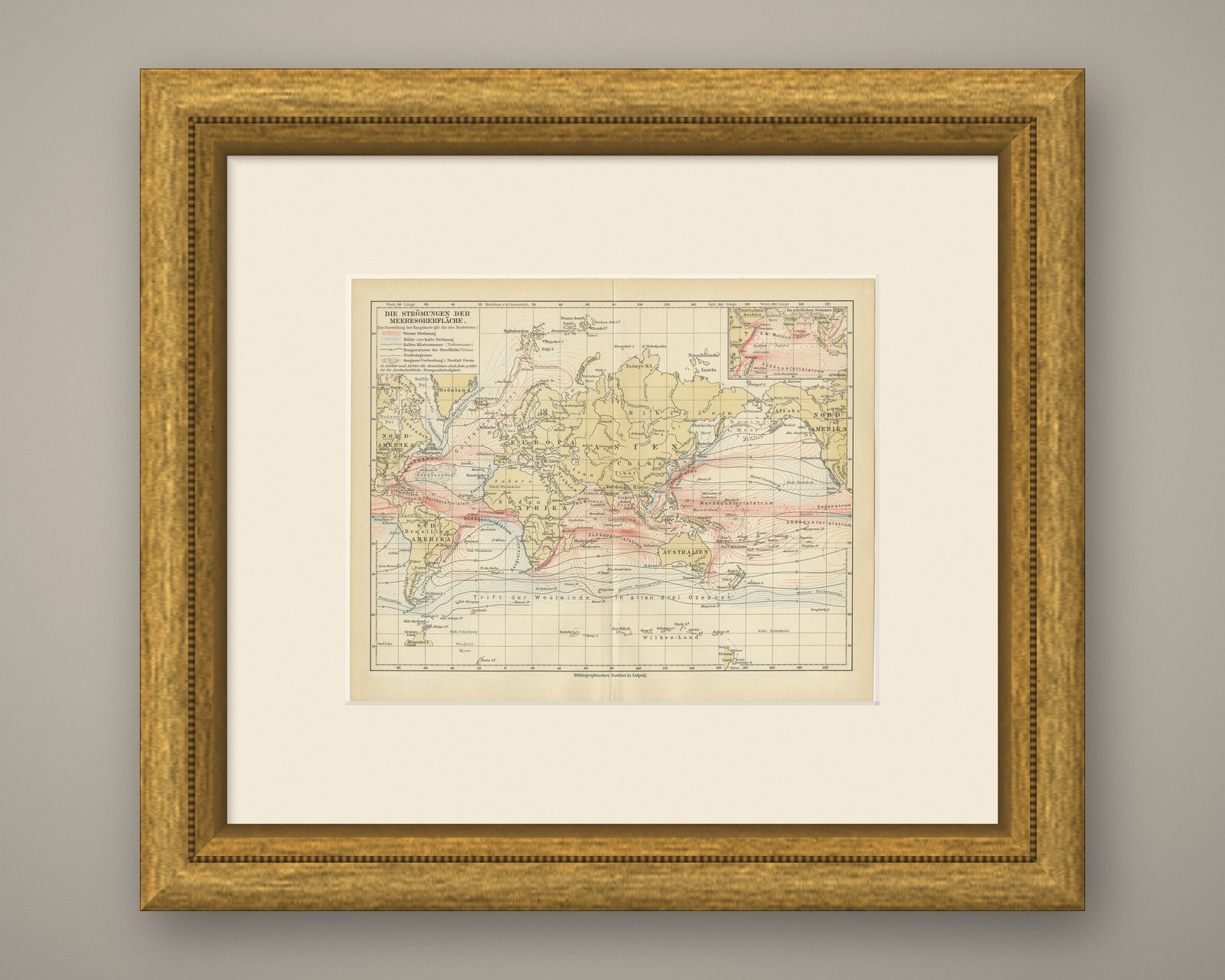
Framed and on the wall
Frame and rooms are illustrations of how the piece could look; it is sold unframed unless the description says otherwise.
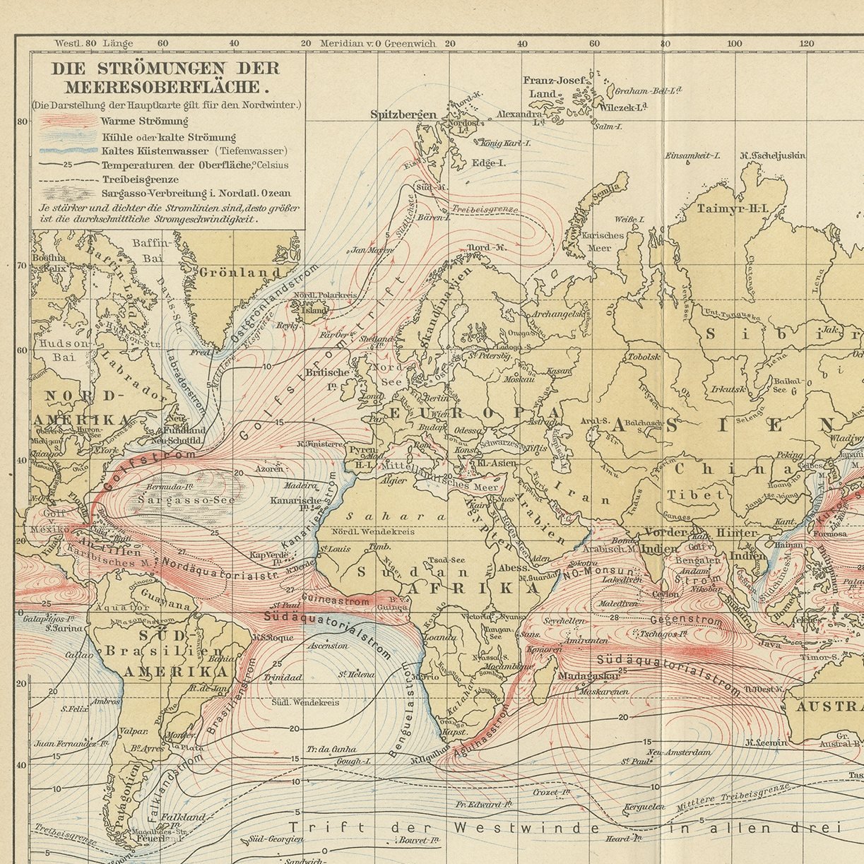
Antique Map of World Ocean Currents, Warm and Cold Drifts, Meyers, 1916
€90
$100 · £75
Original print, not a reproduction.
Ships worldwide from the Netherlands, flat or rolled, insured and tracked. 14-day returns.
- Date
- 1916
- Sheet size
- 9.6 × 11.8 in (24.5 × 30 cm)
- Technique
- Chromolithograph
- Coloring
- Printed color
- Condition
- Good. Even age toning. All four corners complete. Center fold, as issued.
- Collection
- Sea charts
- Era
- 1850 and after, Steam and steel
- Stock no.
- BG-06668-10
What the condition grades mean
- Excellent
- Bright and clean, with no faults worth mentioning.
- Very good
- Only light signs of age, such as faint toning.
- Good
- Normal signs of age for a sheet of this period: toning, some foxing, small marks or neat old repairs.
- Fair
- Clear faults such as staining, tears or repairs, priced to match.
Every fault we see is written in the condition note, and the whole sheet is shown uncropped in the photos.
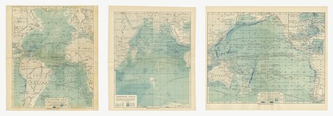
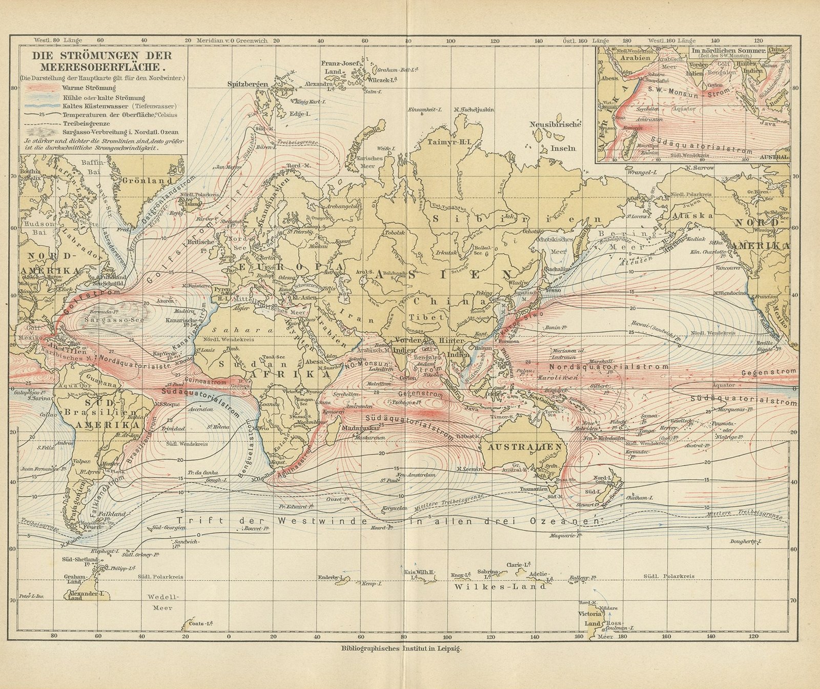
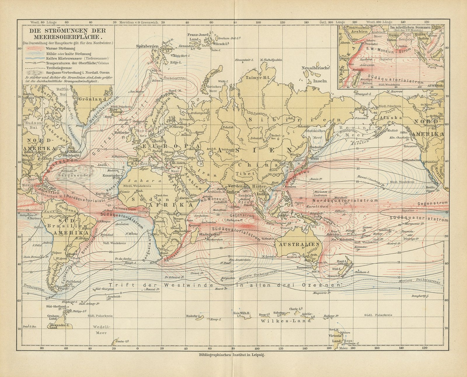
This original antique thematic map was printed in color by the Bibliographisches Institut for Meyers Physikalischer Handatlas. The sheet shows the currents of the ocean surface, world map on Mercator projection. It is lettered on the stone in German, DIE STROEMUNGEN DER MEERESOBERFLAECHE. What makes it worth hanging: warm currents printed in red and cold currents in blue across every ocean, the main map drawn for the northern winter.
The map comes from Meyers Physikalischer Handatlas, fifty one maps of oceanography, morphology, geology, climatology, plant and animal geography and ethnology, published by the Bibliographisches Institut in Leipzig and Vienna in 1916. The atlas was the physical geography companion to Meyers Grosses Konversations-Lexikon, the great German encyclopedia of the period, and it was assembled from the best specialist sources the house could reach, among them the Berghaus physical atlas, Alexander Supan, Julius Hann and Oscar Drude. The Bibliographisches Institut, founded by Joseph Meyer at Gotha in 1826 and based in Leipzig from 1874, ran its own lithographic and cartographic department, which is why the color register is so close and the lettering stays legible at this scale.
A thematic map of this kind does something a political map cannot. It takes one idea, the temperature of the sea, the age of the rocks, the spread of a plant family or a people, and lays it over the whole of the oceans in color, so the pattern reads from across a room. The 1916 date puts the sheet at the end of the long German tradition of physical cartography that began with Heinrich Berghaus, and it records the world as German science understood it on the eve of the modern surveys. Framed in a plain dark molding with a generous off white mat it hangs well in a study, a library, a hallway or an office, and it groups handsomely with other sheets from the same atlas because they share a format and a palette.
Even age toning. All four corners complete. Center fold, as issued.
This is an original antique map, not a modern reproduction. This item is sold unframed.