Framed and on the wall


Frame and rooms are illustrations of how the piece could look; it is sold unframed unless the description says otherwise.
Antique Maritimes Map, New Brunswick, Nova Scotia and Prince Edward Island, 1899
£250
$330 · €295
Original print, not a reproduction.
Ships worldwide from the Netherlands, flat, insured and tracked. 14-day returns.
- Date
- 1899
- Technique
- Lithograph
- Colouring
- Printed colour
- Condition
- Good. Good condition for its age. Light age toning, clean margins and minor handling wear to the sheet edges. Please review the images for further condition details.
- Collection
- Sea charts
- Era
- 1850 and after, Steam and steel
- Stock no.
- BG-12793-2-80
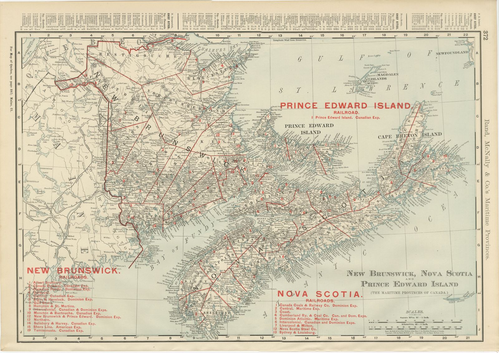
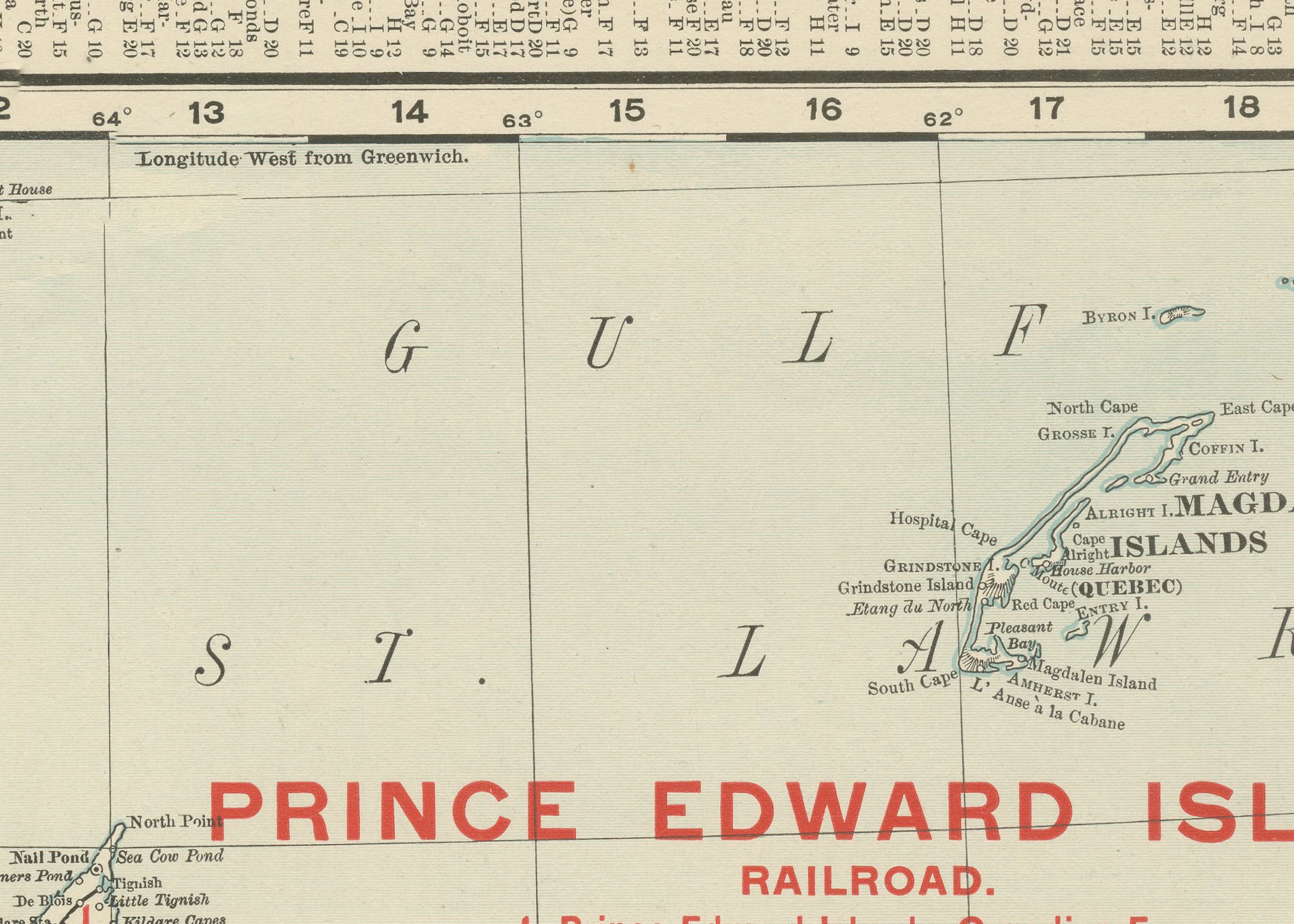
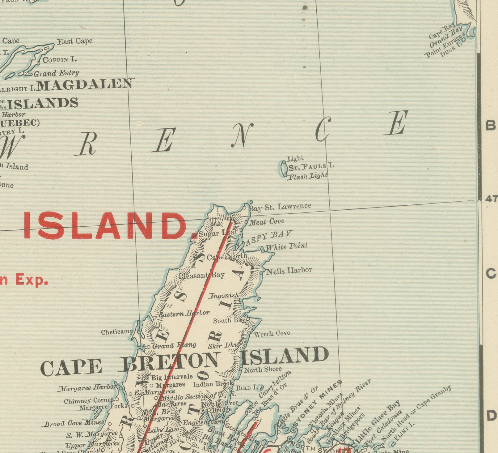
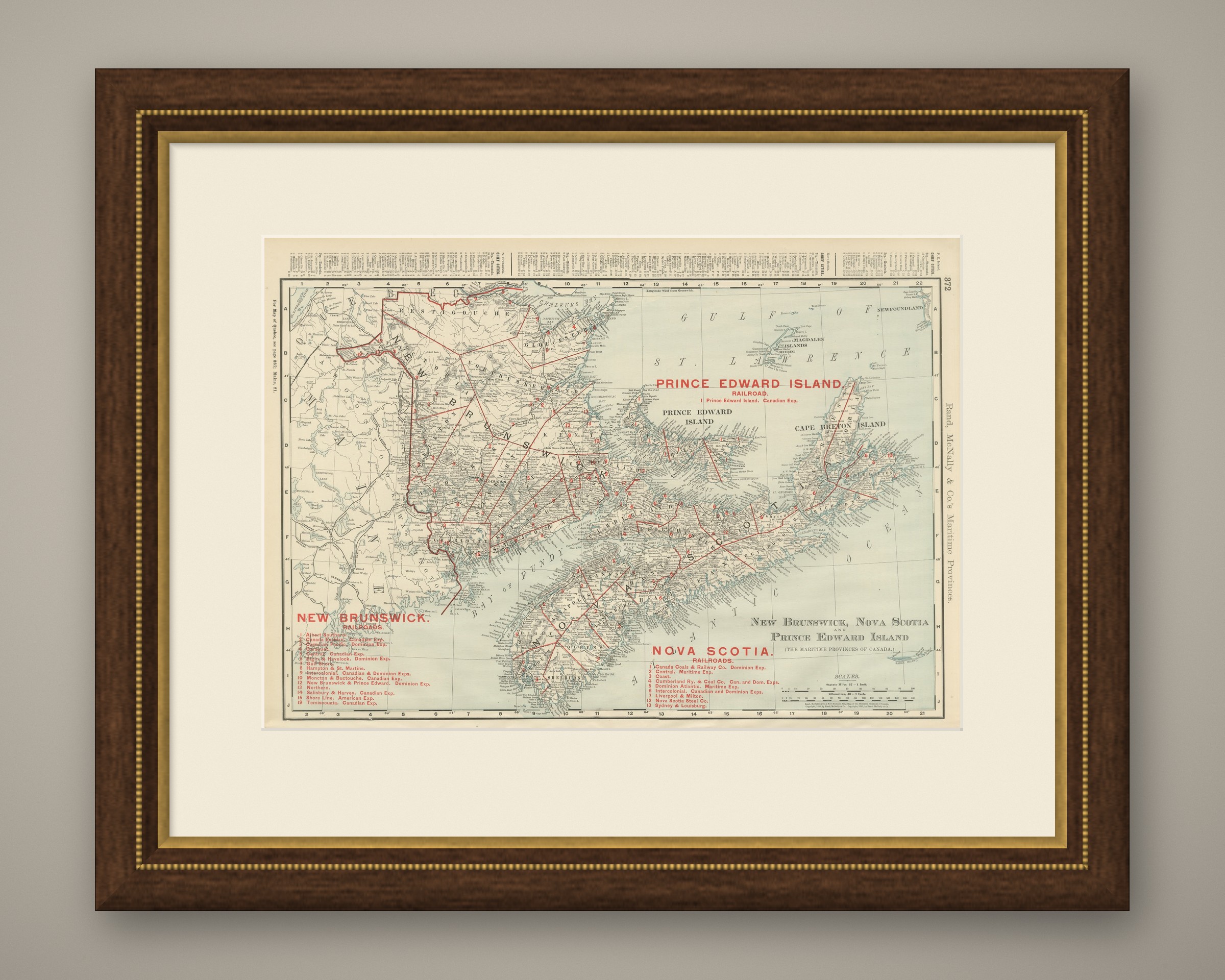
An antique map of New Brunswick, Nova Scotia and Prince Edward Island, printed by Rand McNally in 1899 on page 372 of its indexed atlas, this sheet brings the three Maritime Provinces of Canada together on a single plate. New Brunswick lies at left, with the counties of Restigouche, Gloucester, Northumberland, Kent, Westmorland, Albert, Kings, Saint John, Charlotte, York, Carleton, Victoria and Madawaska named and bounded in red; Nova Scotia runs across the bottom, its long peninsula stretching from Yarmouth and Digby on the Bay of Fundy east to Cape Breton Island; and Prince Edward Island is shown separately at upper right in the Gulf of Saint Lawrence, with its own single railroad line marked in the legend.
Two red-lettered railroad keys, one each for New Brunswick and Nova Scotia, number the lines then operating: the Intercolonial, Canadian Pacific and Canada Eastern serve New Brunswick, while the Dominion Atlantic, the Nova Scotia Steel and the Sydney and Louisburg lines are named for Nova Scotia, the last a reminder of the coal and steel industry then developing around Sydney harbour on Cape Breton. The Magdalen Islands sit isolated in the Gulf of Saint Lawrence at upper right, and the exceptional tidal range of the Bay of Fundy is implied by the broad flats named along its shores.
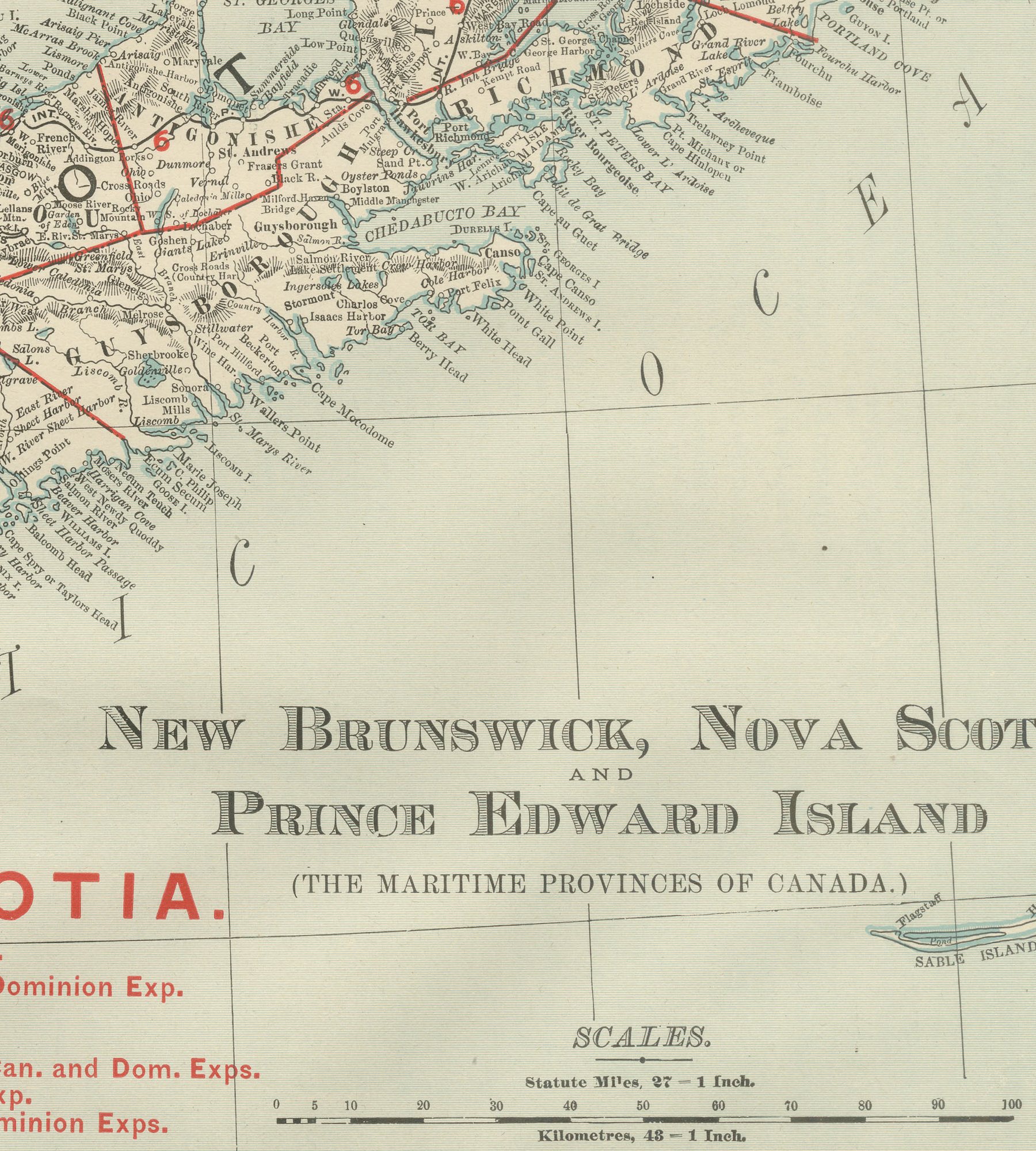
Coastal detail, the harbours, fishing grounds and many small islands along the Atlantic shore, is drawn with particular care, consistent with the importance of the Maritime Provinces to shipping and the fisheries at the time. Scale is given as 27 statute miles to the inch, and a note at upper left cross-references the adjoining Quebec map for the territory beyond the northern border of New Brunswick.
Rand McNally, a Chicago firm that by the 1890s was one of the leading map publishers in the United States, was known for railroad and commercial maps revised from issue to issue. This antique map of New Brunswick, Nova Scotia and Prince Edward Island is an original 1899 colour lithograph, with the outline printed in black and the colours printed over it, and it is suitable for framing. The colour is printed rather than applied by hand.
The sheet is in good condition for its age, with light age toning, clean margins and minor handling wear to the sheet edges. Please review the images for further condition details.
This is an original antique map, not a modern reproduction. This item is sold unframed. Any framed or interior images are shown for presentation and inspiration only, unless the listing explicitly states that the item is sold framed.