Close-ups
Framed and on the wall
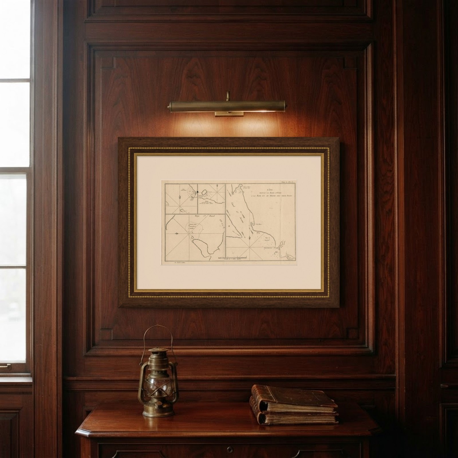
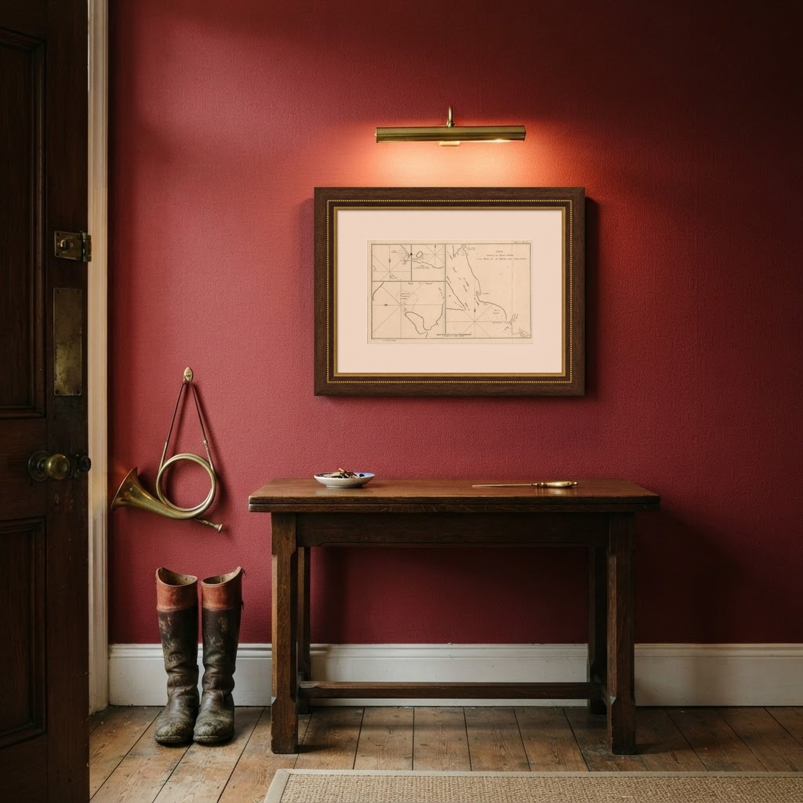
Frame and rooms are illustrations of how the piece could look; it is sold unframed unless the description says otherwise.
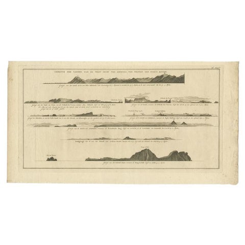
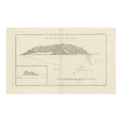
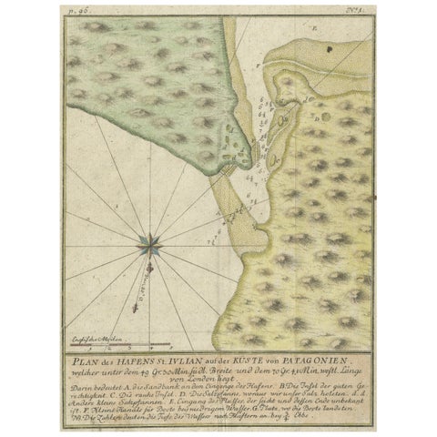
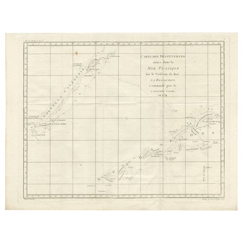
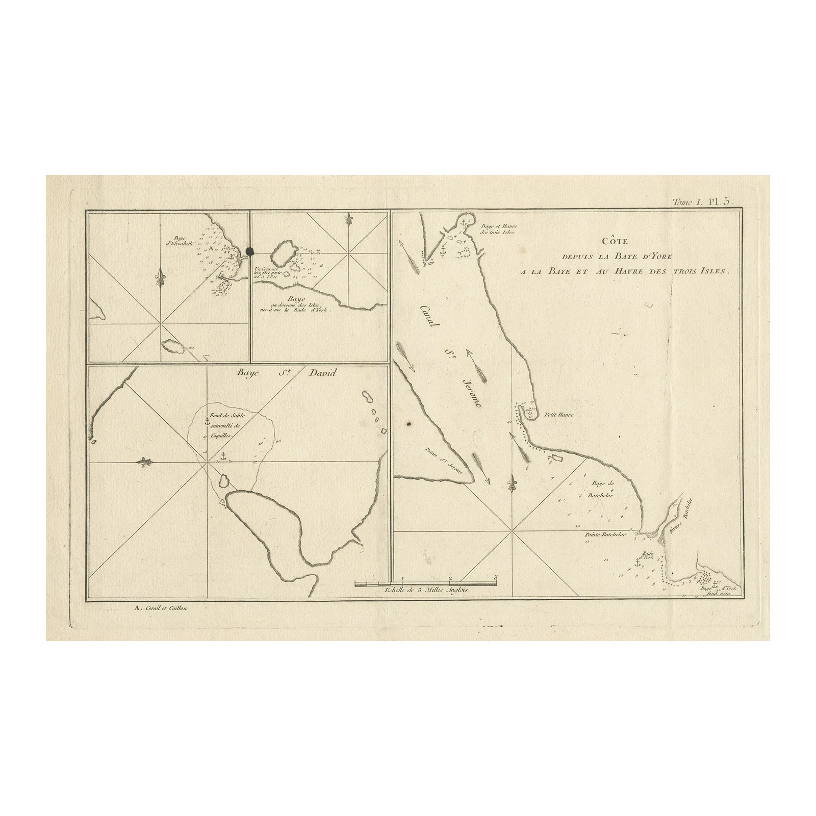
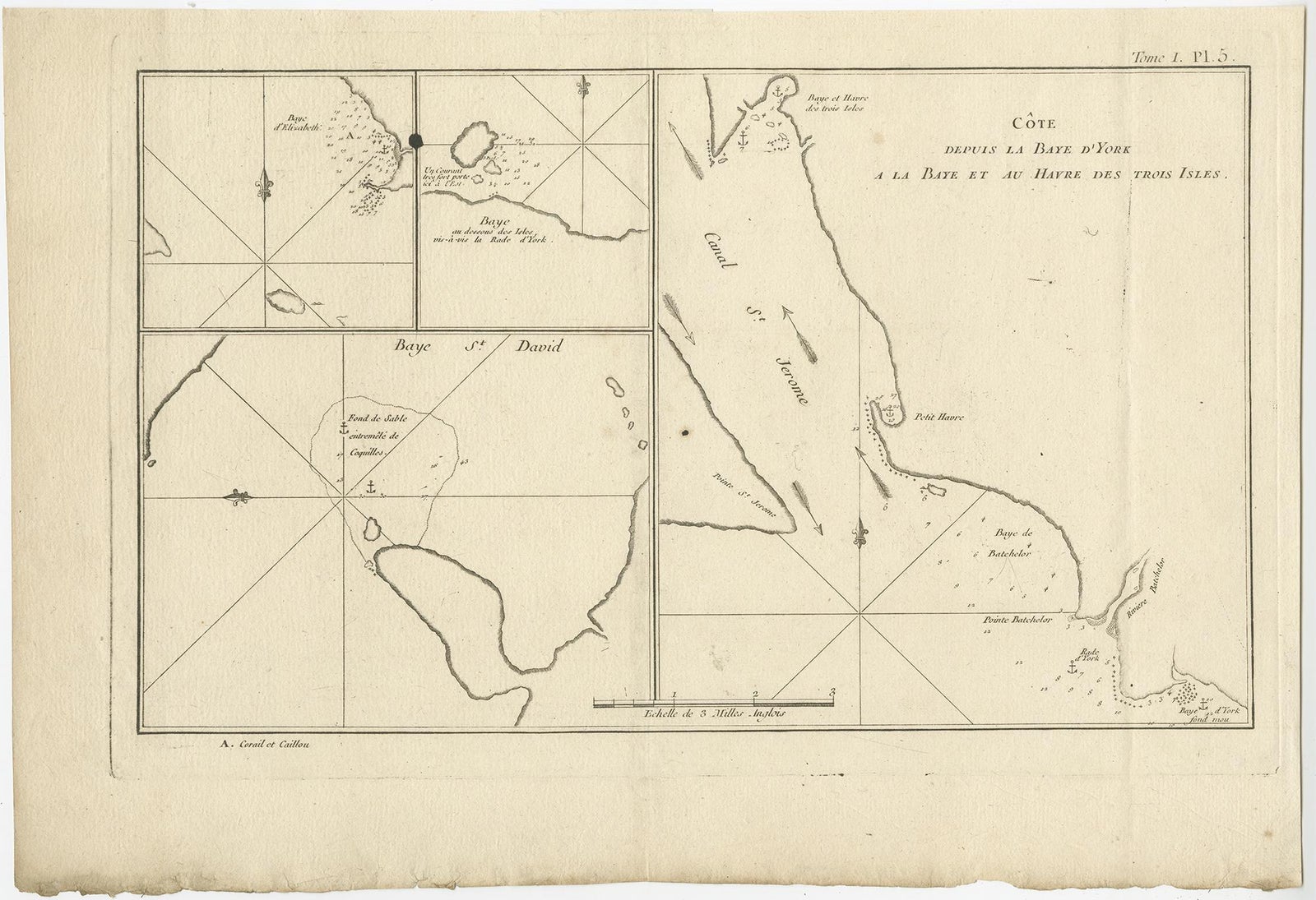
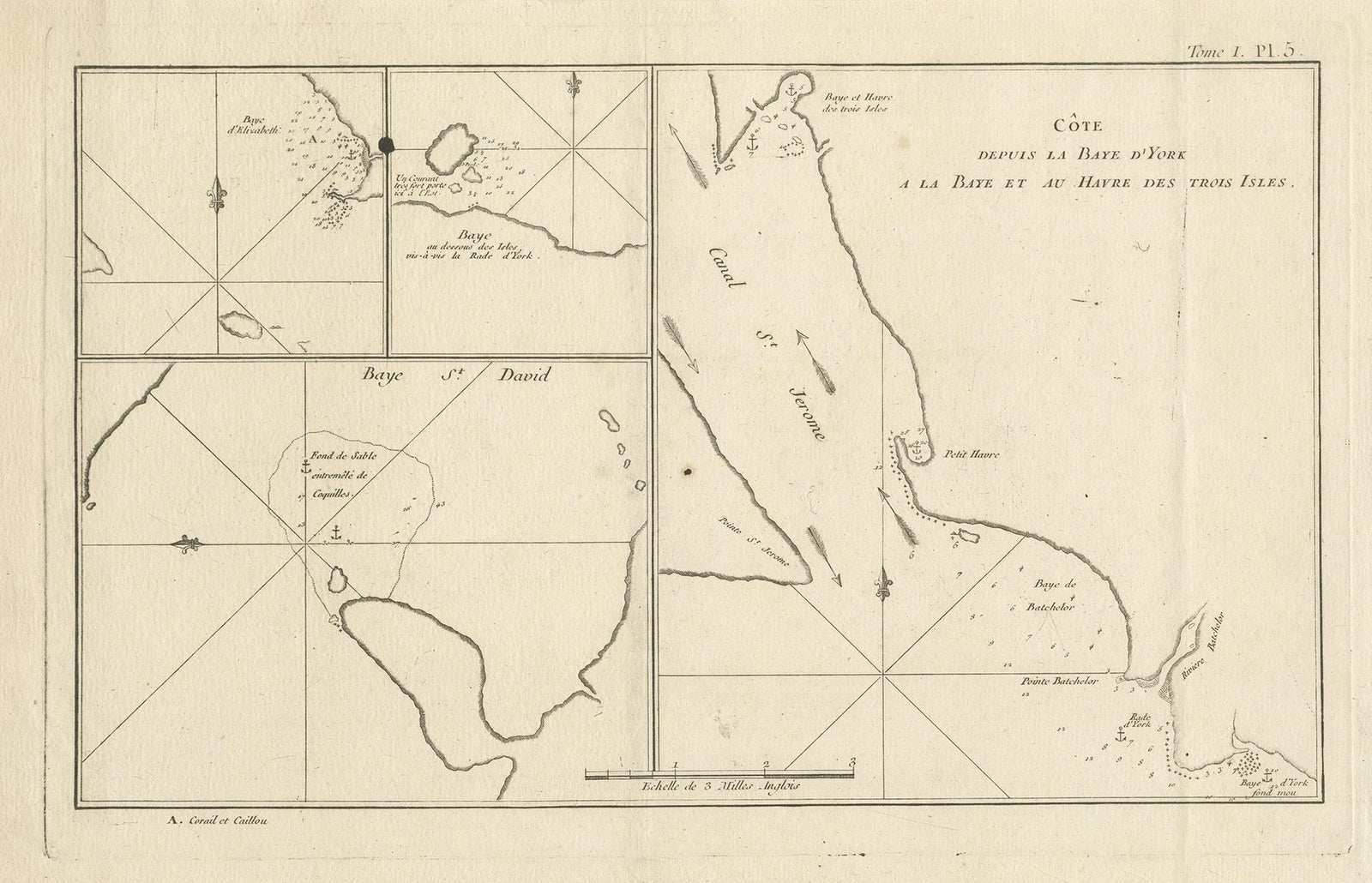
Antique Print with Charts of York's Bay and Surroundings
$310
€279 · £235
Original print, not a reproduction.
Ships worldwide from the Netherlands, flat, insured and tracked. 14-day returns. To buy, use Ask a question and we will reserve it for you.
- Date
- Not stated
- Sheet size
- 10.7 × 15.4 in (27.3 × 39 cm)
- Condition
- Good. General age-related toning. Shows some wear and soiling, few small spots. Blank verso. Please study image carefully.
- Collection
- Voyages of discovery
- Stock no.
- f_34290792
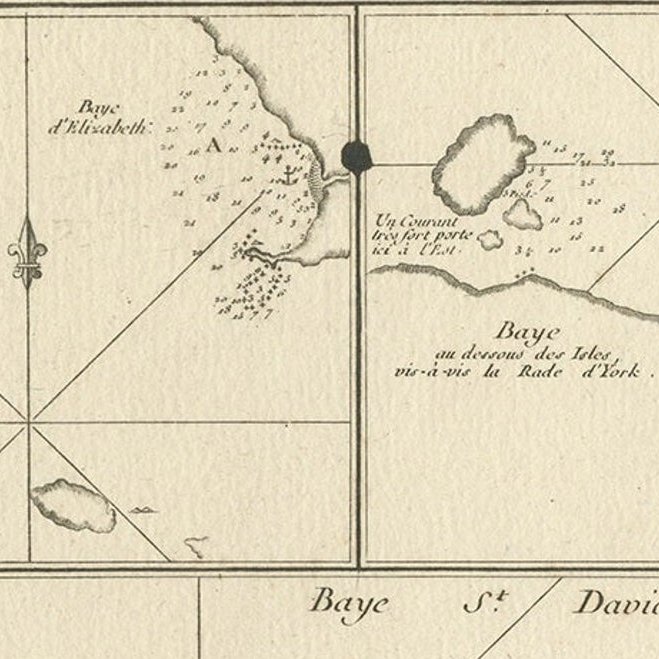
Antique map titled 'Côte depuis la Baye d'York (..)'. Charts of York's Bay, Haven of the Three Islands, St. David's Bay, and Elizabeth's Bay.
Published in an edition of John Hawkesworth's atlas to accompany a French edition of Captain James Cook's voyages to the Southern Hemisphere. Published 1774.