Close-ups
Framed and on the wall
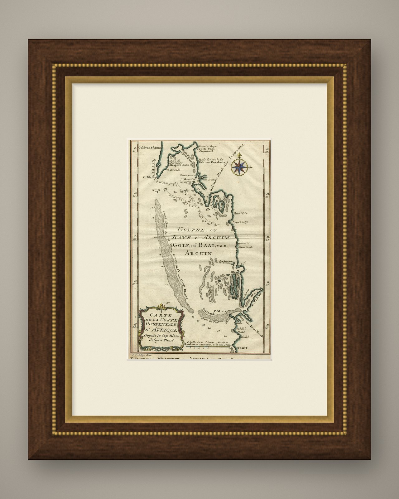
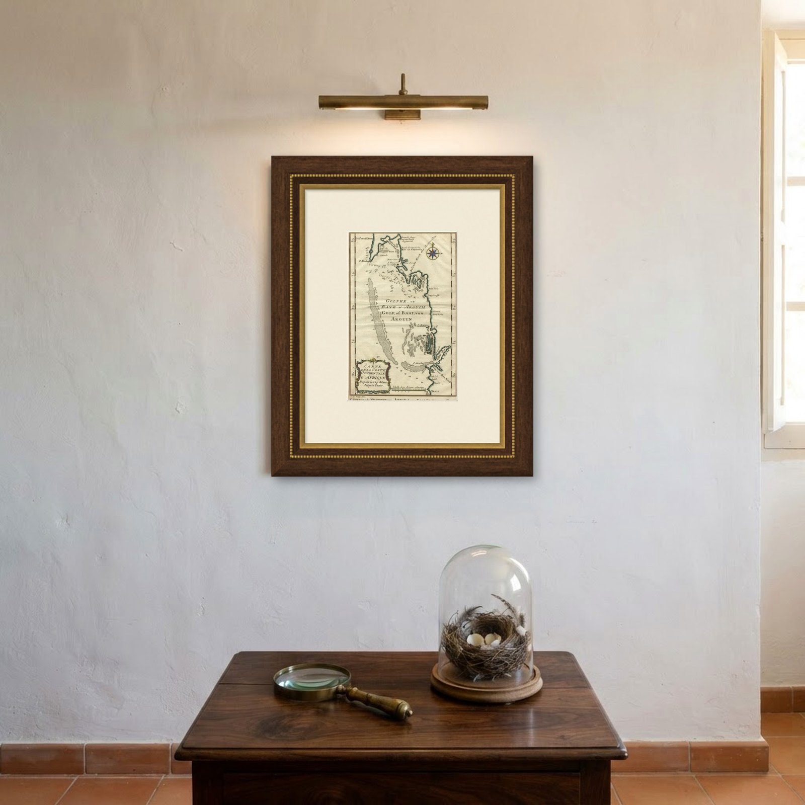

Frame and rooms are illustrations of how the piece could look; it is sold unframed unless the description says otherwise.
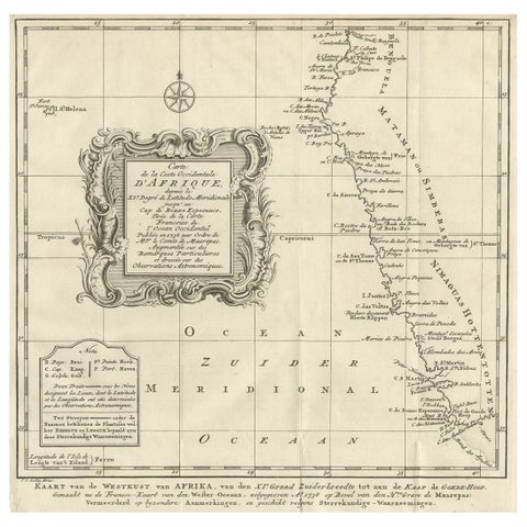
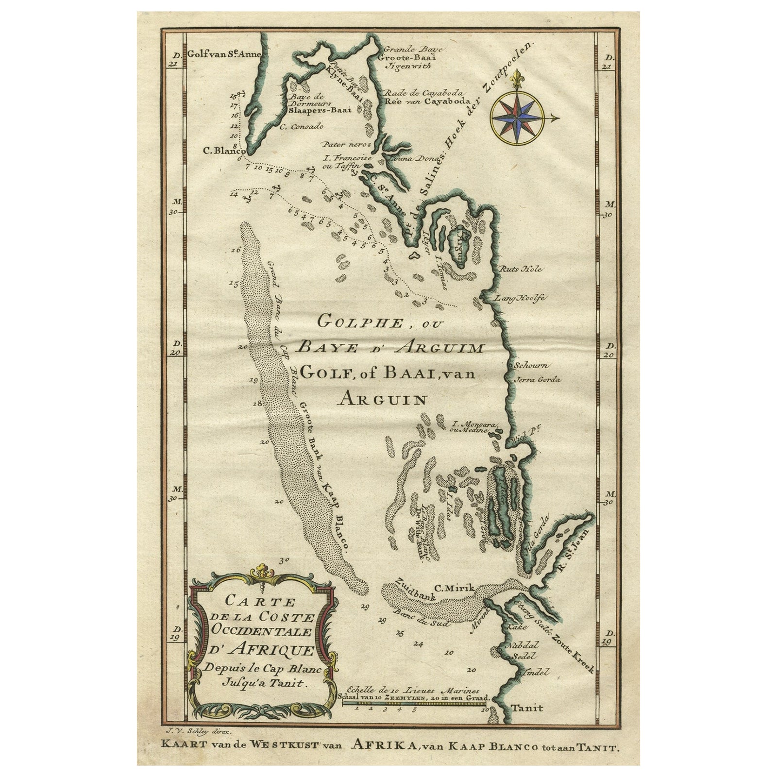
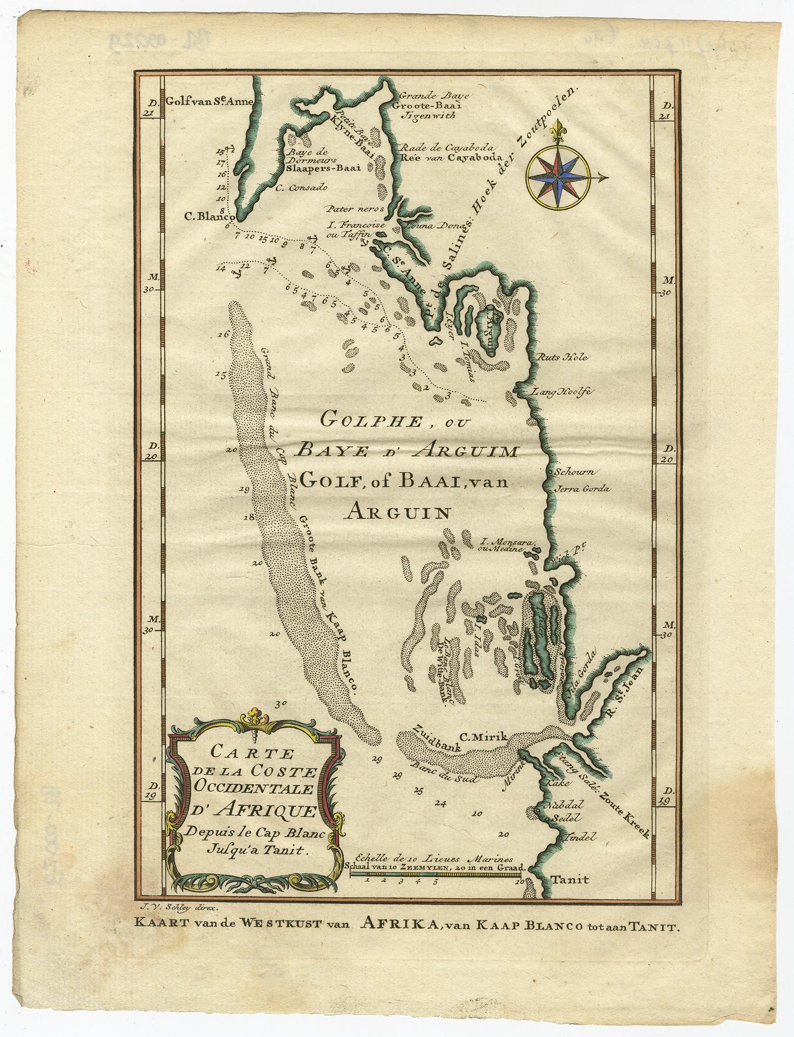
Bay of Arguin, West Coast of Africa from Cape Blanco to Tanit, Africa, 1747
$325
€290 · £245
Original print, not a reproduction.
Ships worldwide from the Netherlands, flat, insured and tracked. 14-day returns.
- Date
- 1747
- Sheet size
- 10.7 × 8.2 in (27.3 × 20.8 cm)
- Condition
- Good. Given age. Original folds, as issued. General age-related toning and/or occasional minor defects from handling. Please study scan carefully.
- Collection
- Sea charts
- Era
- 1700 to 1789, Age of discovery
- Stock no.
- f_27195772
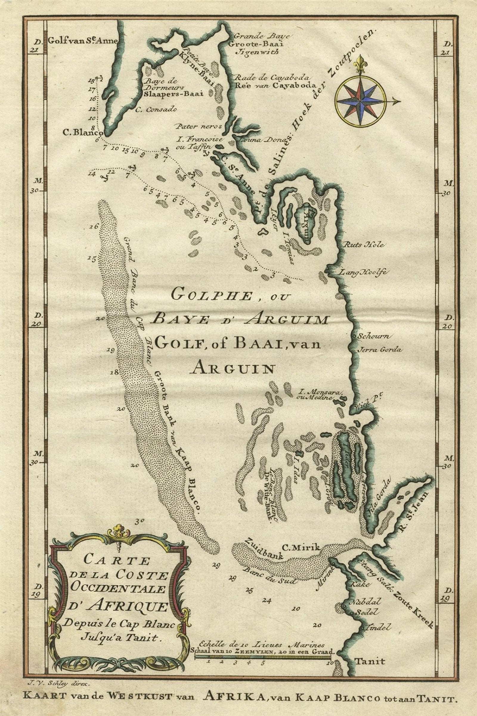
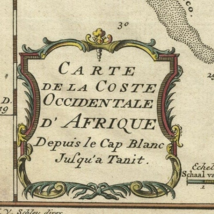
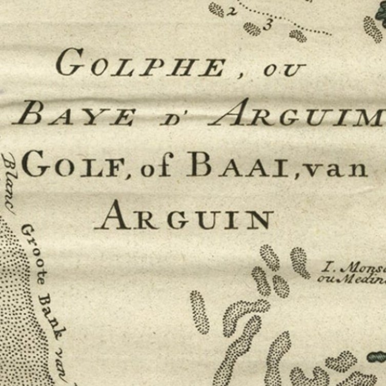
Antique map titled 'Carte De La Coste Occidentale D'Afrique (..)
Kaart van de Westkust van Afrika (..)'. Original antique map of the western coast of Africa. Shows the area around the Bay of Arguin on the West Coast of Africa from Cape Blanco in the north to Tanit in the south. This map originates from 'Historische beschryving der Reizen (..)' published by P. de Hondt, 1747.
Artists and Engravers: Jakob van der Schley (1715-1779) was a Dutch draughtsman and engraver, who studied under Bernard Picart.
EXPLORE