Close-ups
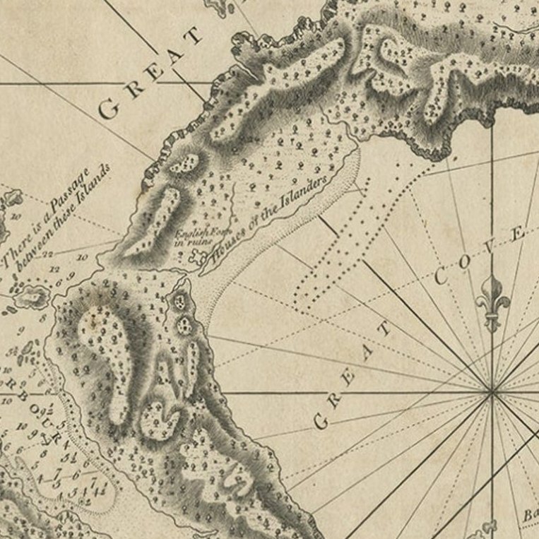
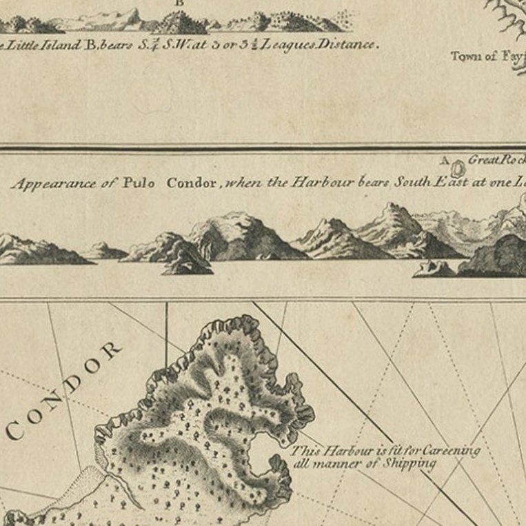
Framed and on the wall
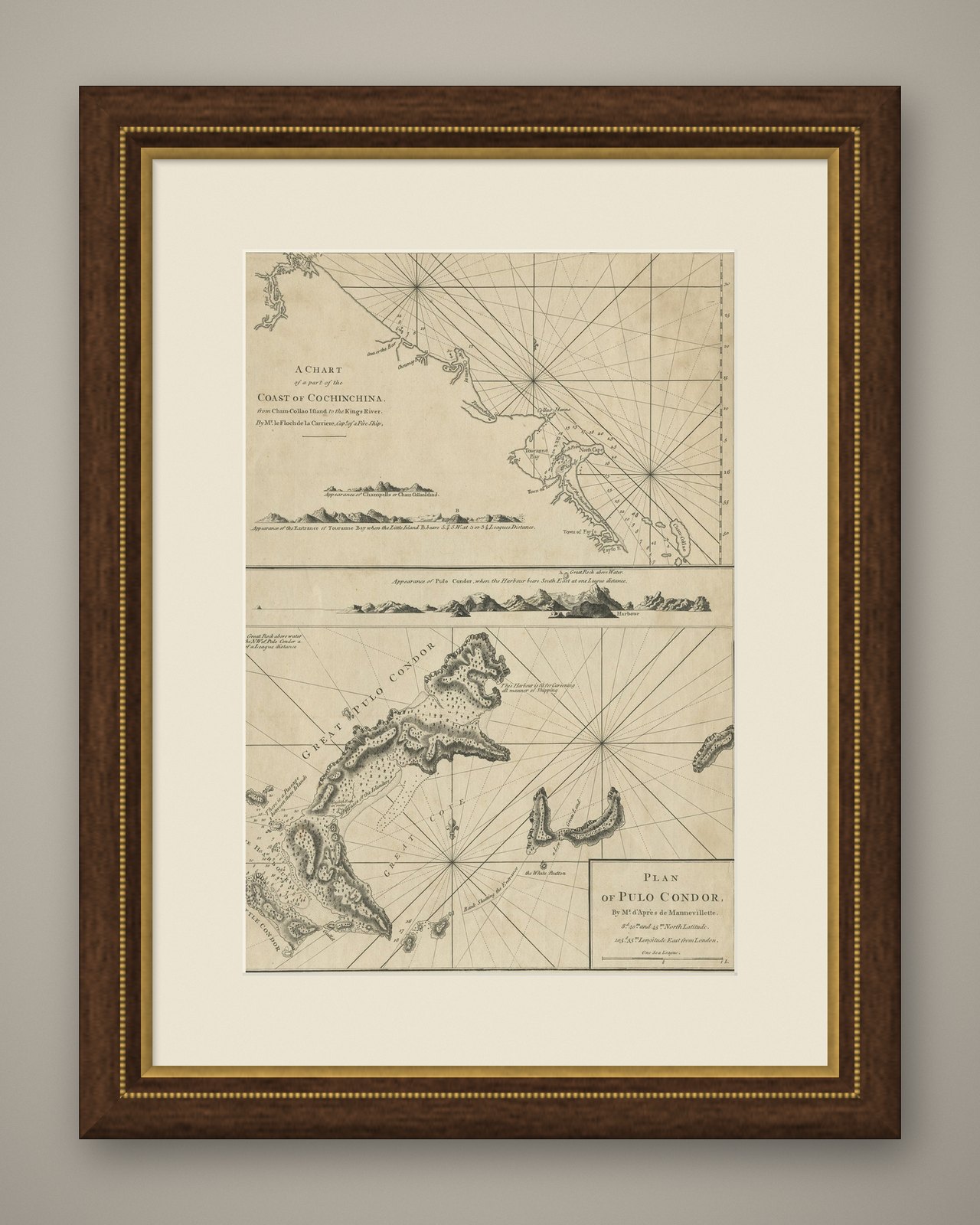
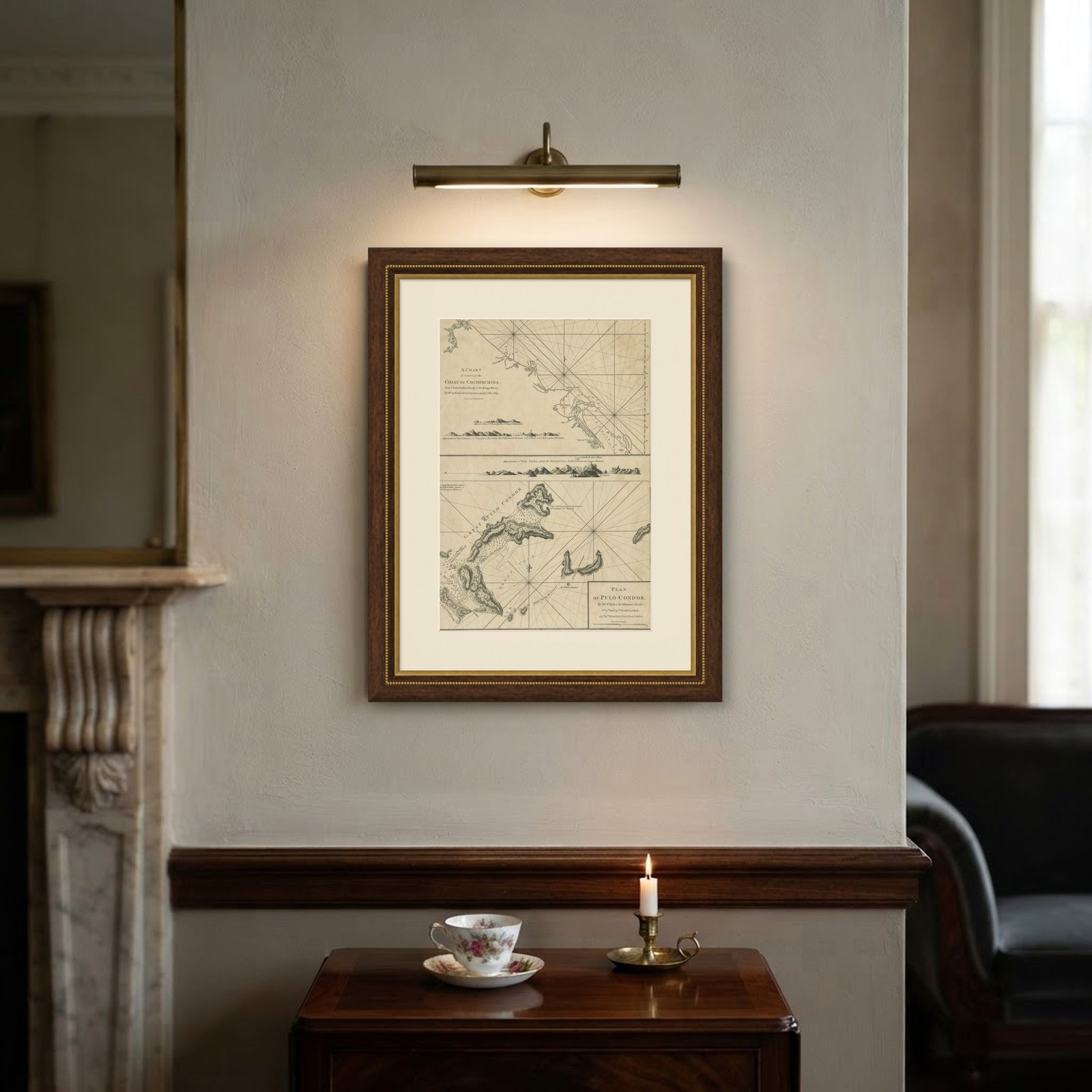

Frame and rooms are illustrations of how the piece could look; it is sold unframed unless the description says otherwise.
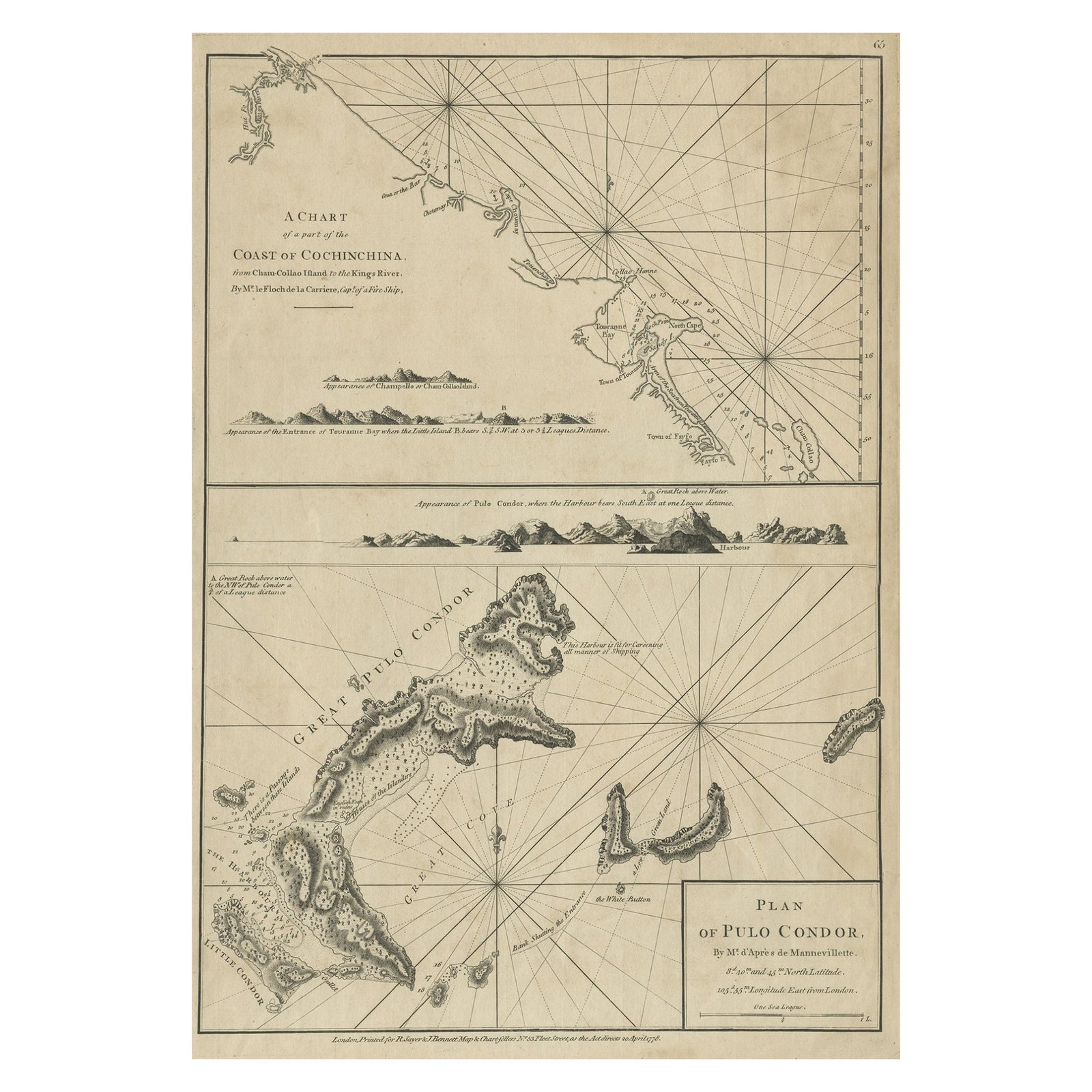
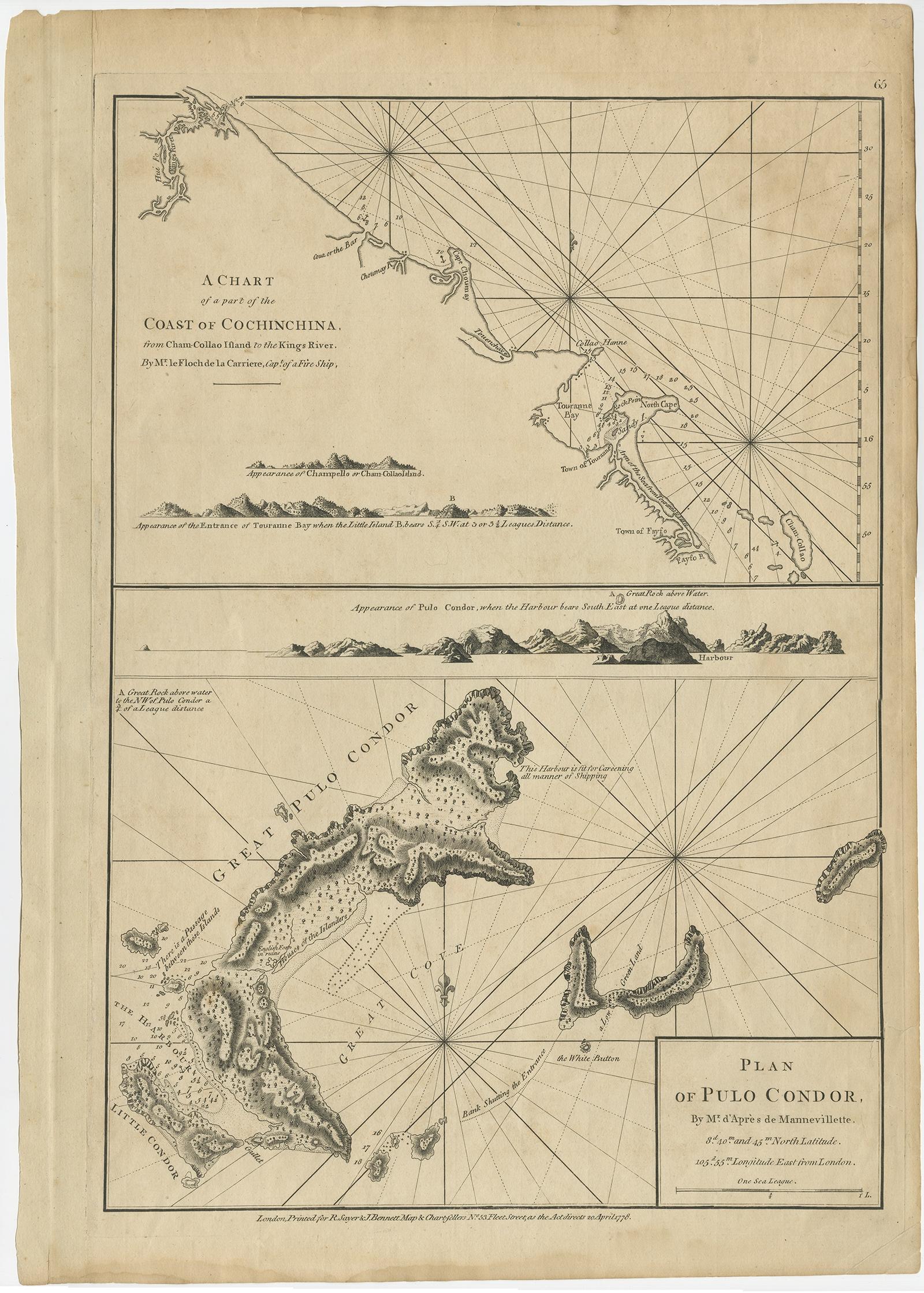
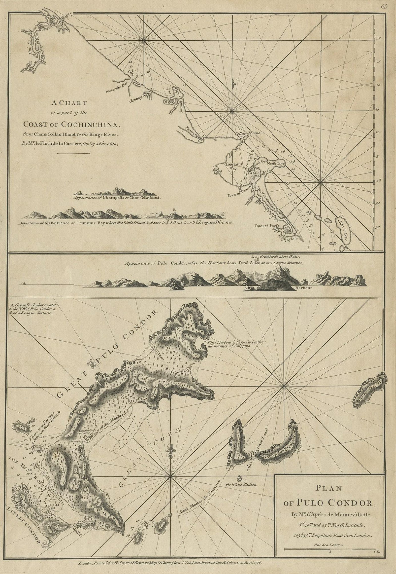
Chart of the Coast of Cochinchina' and 'Plan of Pulo Condor', Vietnam, 1778
$605
€540 · £455
Original print, not a reproduction.
Ships worldwide from the Netherlands, flat, insured and tracked. 14-day returns. To buy, use Ask a question and we will reserve it for you.
- Date
- 1778
- Sheet size
- 21.3 × 15 in (54 × 38 cm)
- Condition
- Good. Age-related toning. Small repair right margin. Please study image carefully.
- Collection
- Sea charts
- Era
- 1700 to 1789, Age of discovery
- Stock no.
- f_27422472
Antique map titled 'A Chart of a part of the Coast of Cochinchina' and 'Plan of Pulo Condor'.
Two maps on one sheet. The upper map shows part of the coast of Cochinchina from Cham Collao Island to the King's River. Cochinchina or Quinam is a region encompassing the southern third of current Vietnam whose principal city is Saigon. The lower map shows the Côn Ð?o Islands, an archipelago of Bà R?a–Vung Tàu Province, in the Southeast region of Vietnam, and a district of this province.
Artists and Engravers: Printed for R. Sayer & J. Bennett.