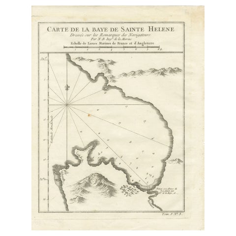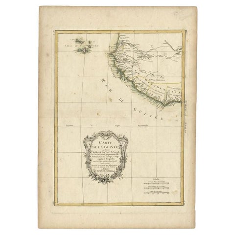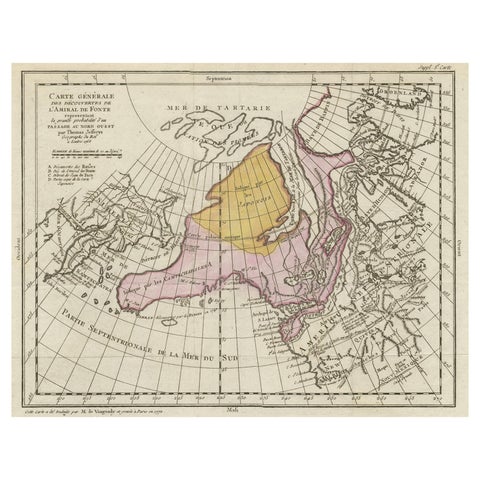
Close-ups
Framed and on the wall
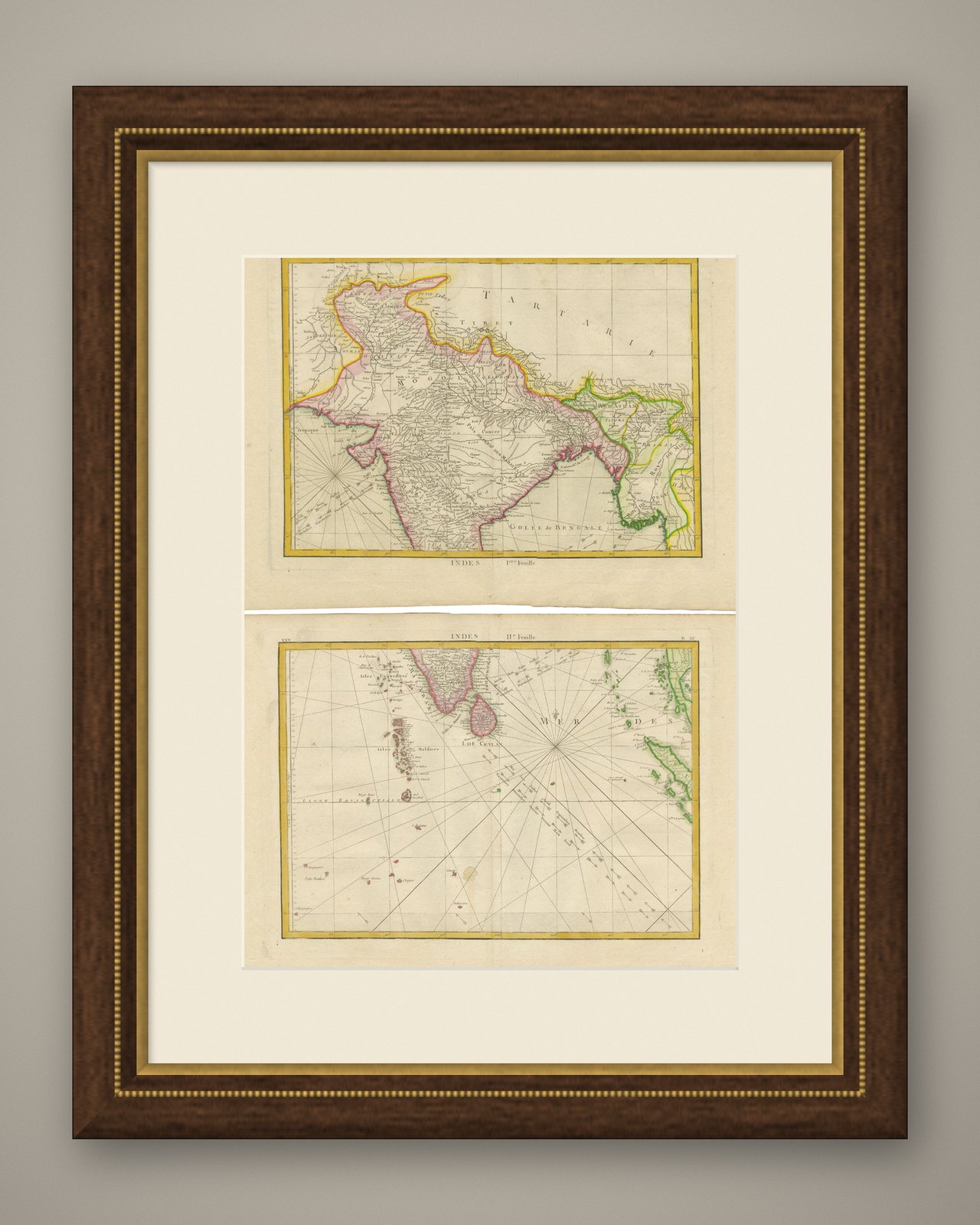
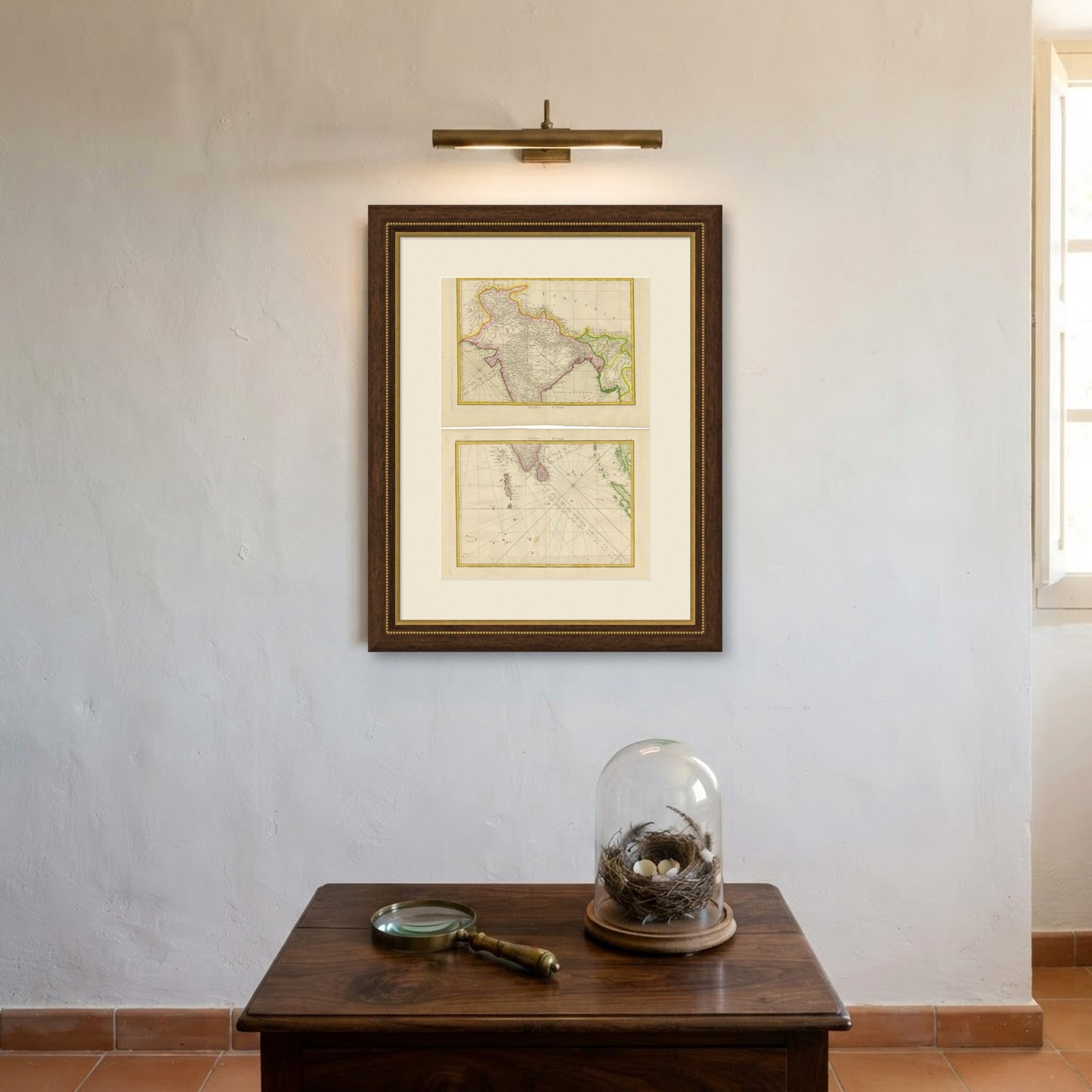
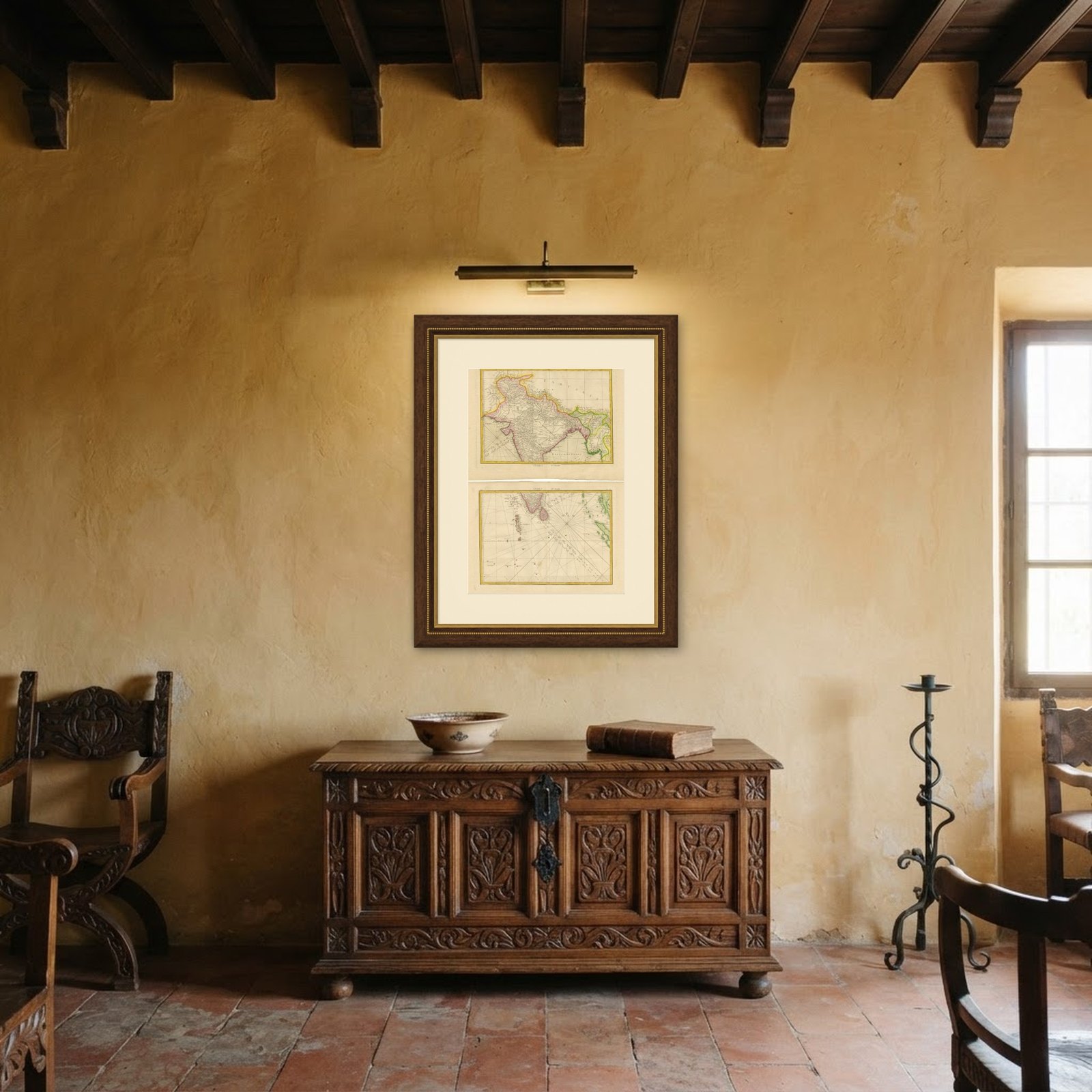
Frame and rooms are illustrations of how the piece could look; it is sold unframed unless the description says otherwise.
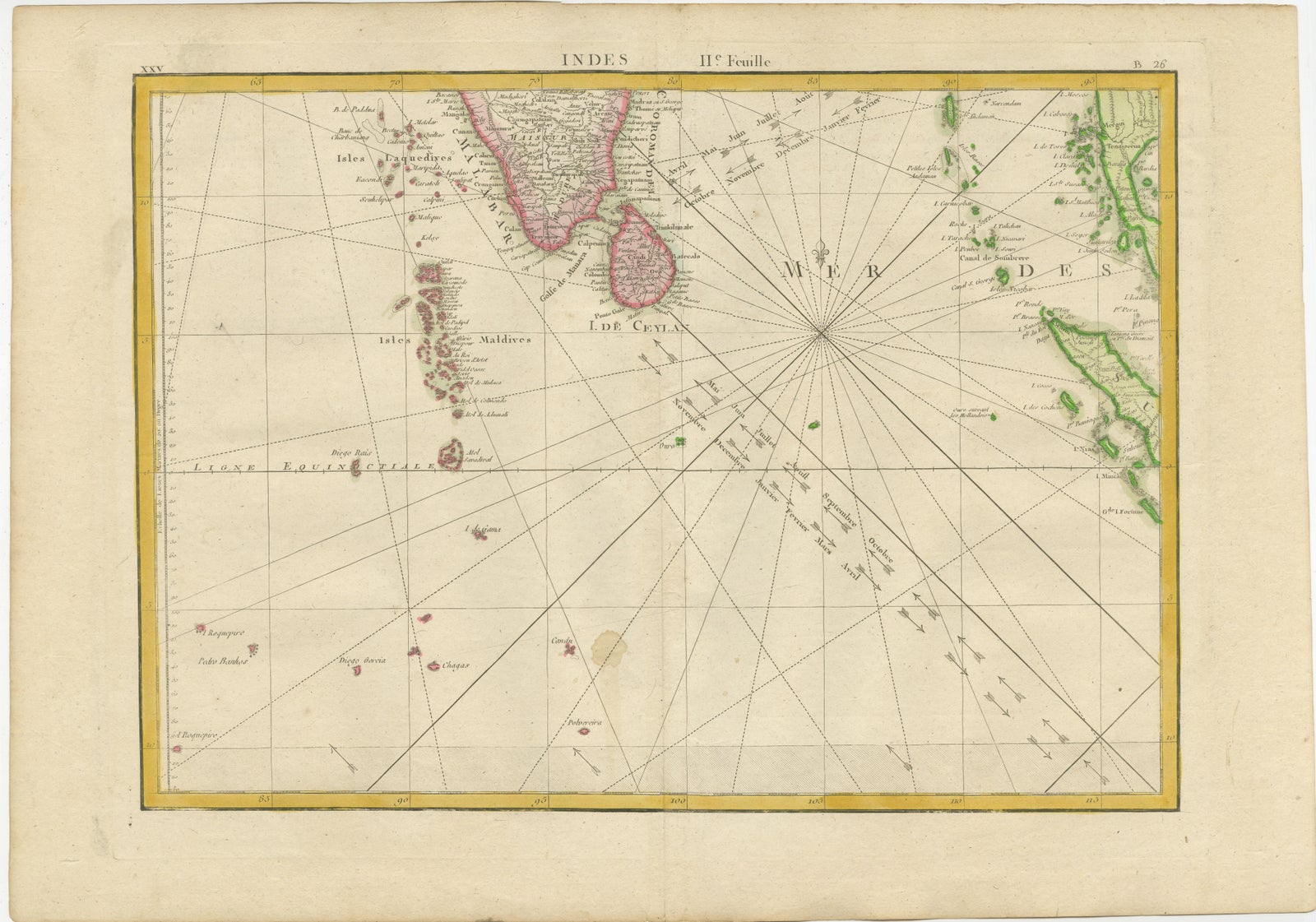
Charting the Course of Empire: Bonne's 1770 Masterpiece Maps of the Indian Ocean
£415
$550 · €490
Original print, not a reproduction.
Ships worldwide from the Netherlands, flat, insured and tracked. 14-day returns. To buy, use Ask a question and we will reserve it for you.
- Date
- 1770
- Sheet size
- 14.2 × 20.3 in (36 × 51.5 cm)
- Condition
- Good. Good. Some light offset and one brown spot in the lower map. General age-related toning and/or occasional minor defects from handling. Please study scans carefully. Middle folds as issued.
- Collection
- Sea charts
- Era
- 1700 to 1789, Age of discovery
- Stock no.
- f_38605102
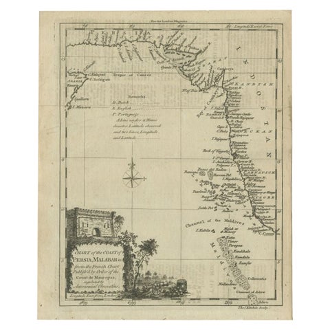
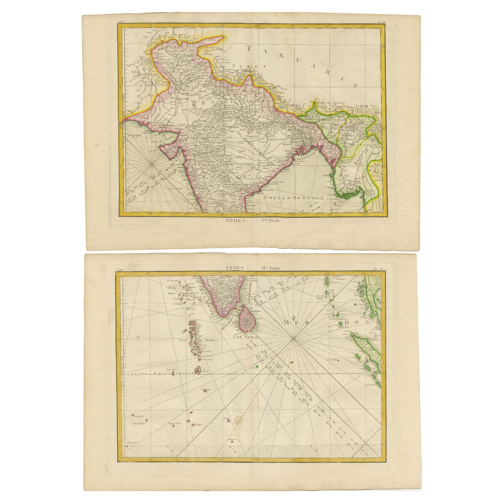
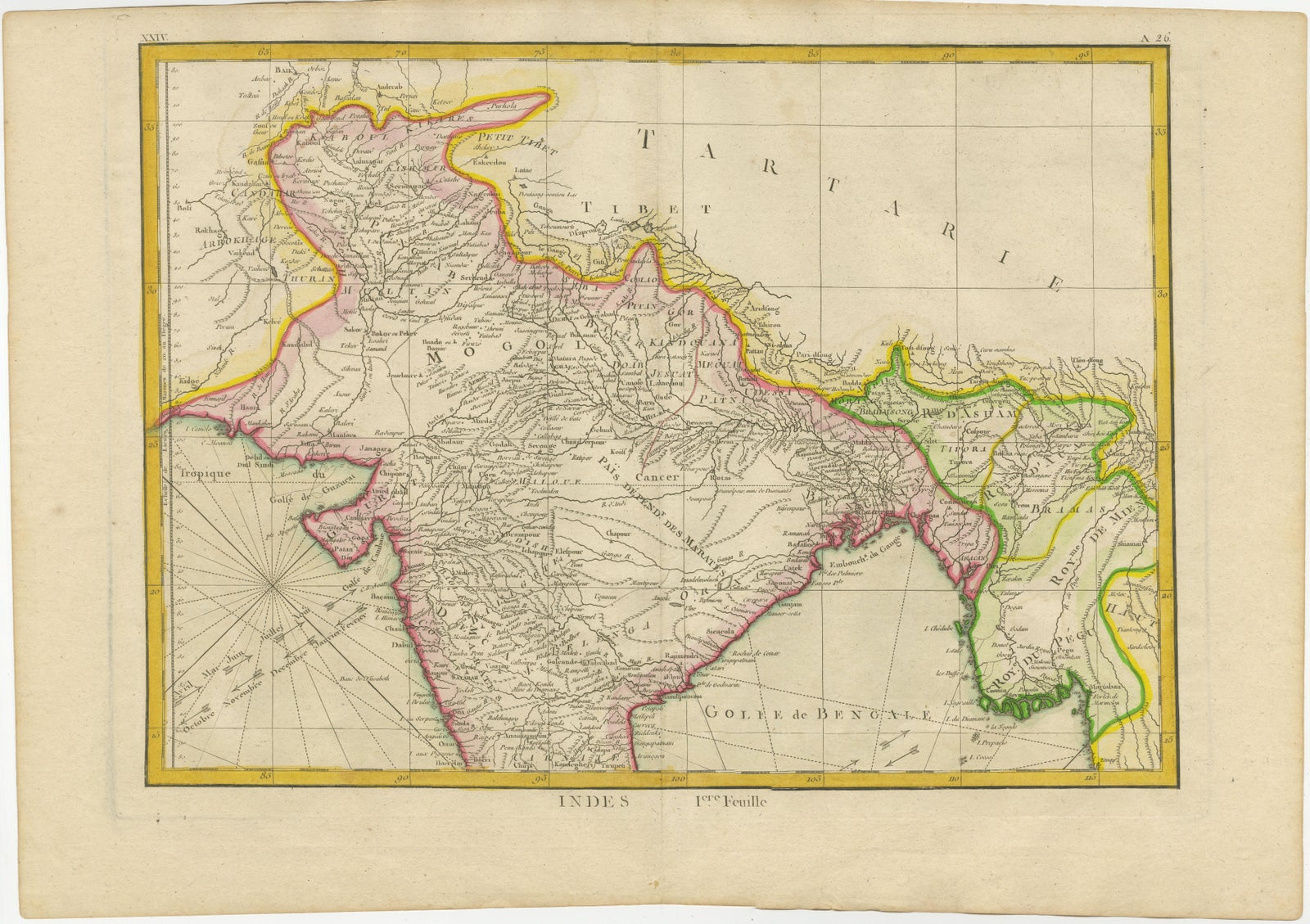
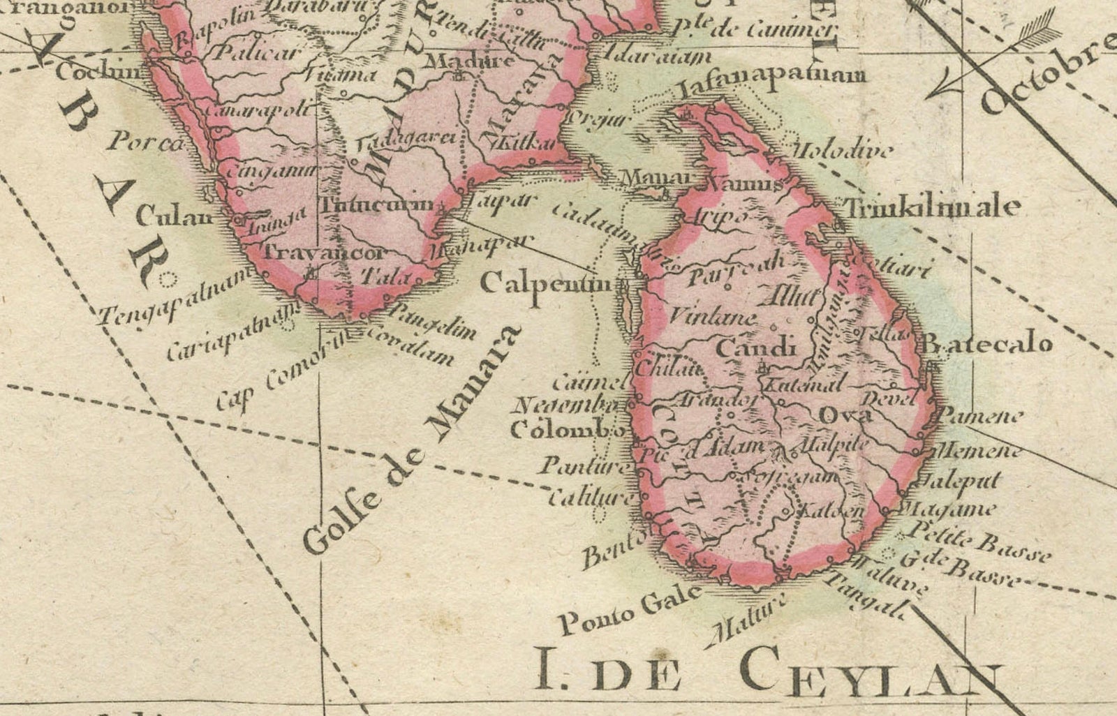
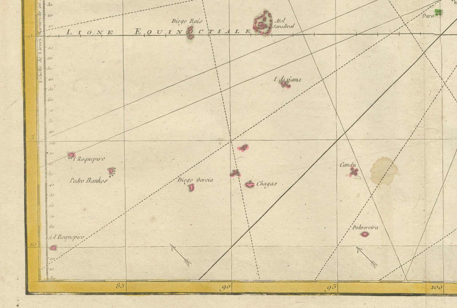
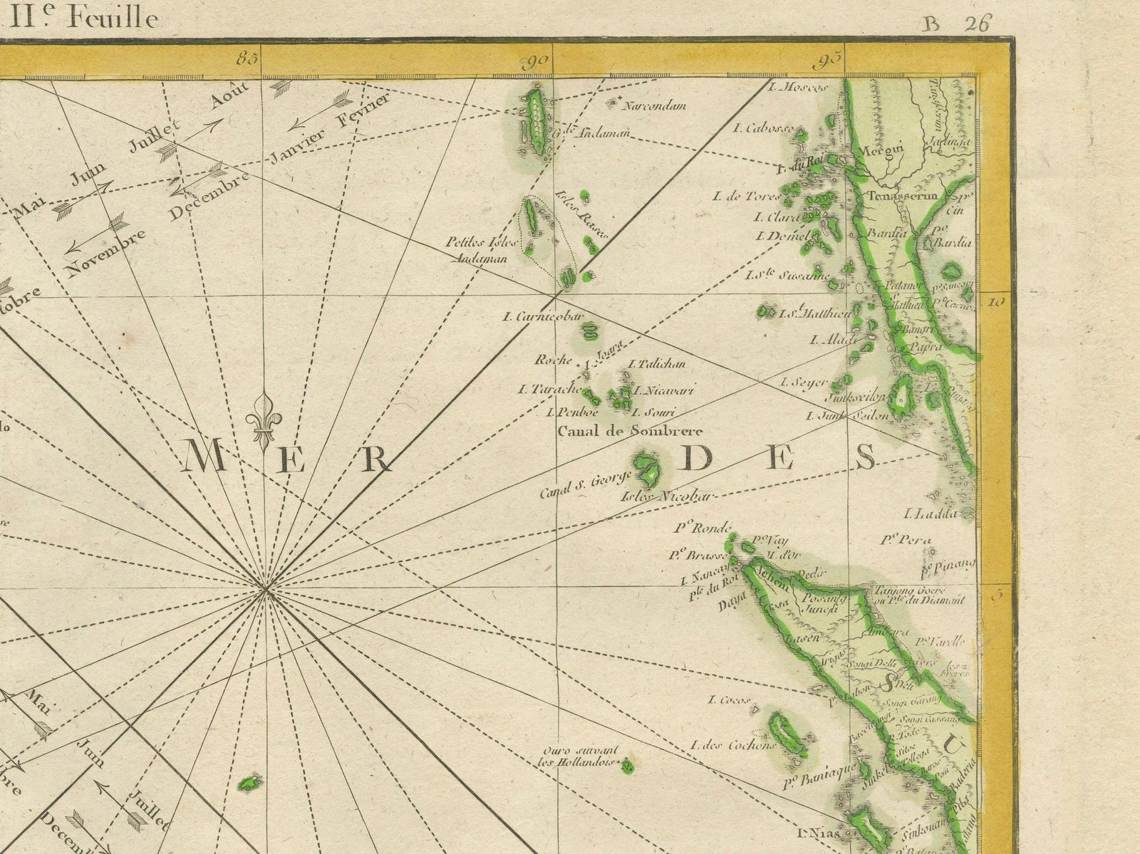
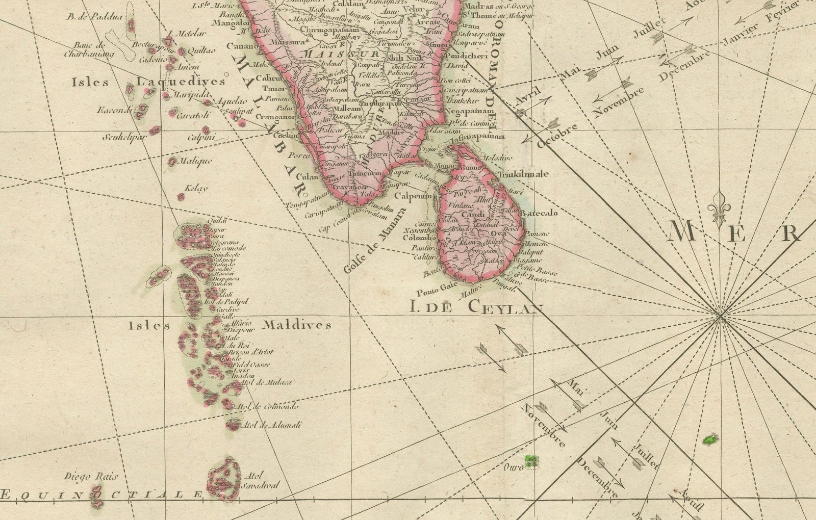
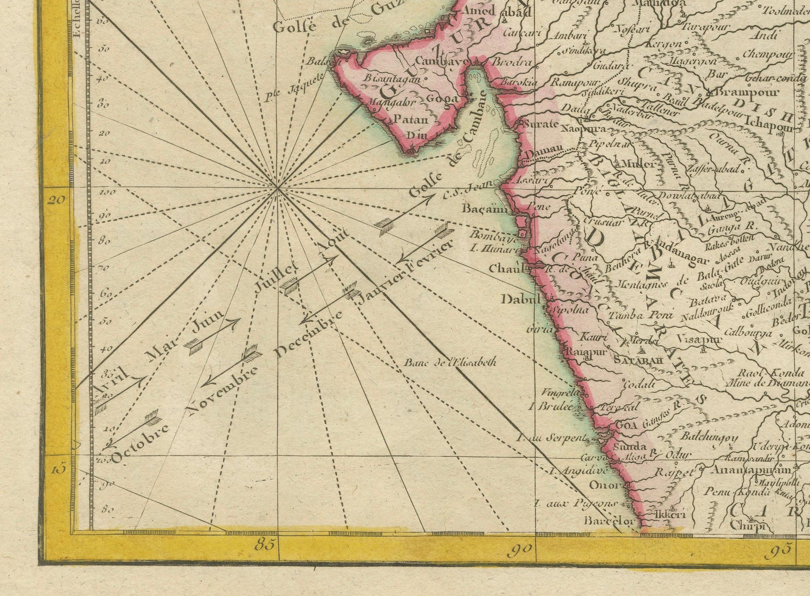
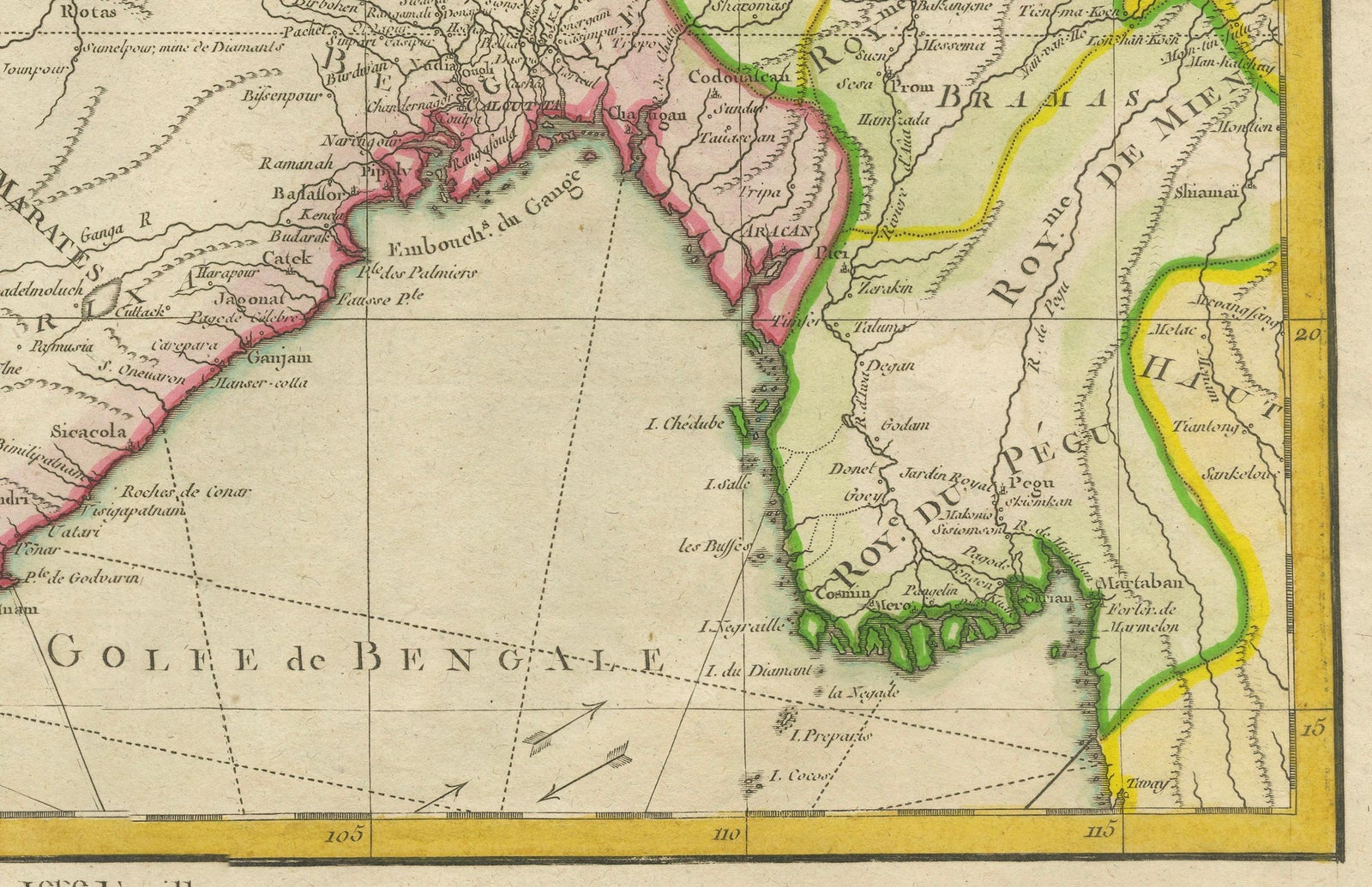
A voyage through history with an exquisite collection of Rigobert Bonne's 1770 maps, as featured in the coveted Atlas Moderne circa 1770. Each map, a cartographic treasure, captures the intricate dance of land and sea across the Indian subcontinent and its surrounding waters. These are not mere maps; they are windows into the past, detailing the Malabar and Coromandel coasts, the ethereal Maldives, the storied isle of Ceylon (Sri Lanka), and beyond to the Andaman Islands, Sumatra, and the veiled mysteries of Southeast Asia.
Expertly crafted by the distinguished Royal Hydrographer, these maps boast an array of rhumb lines and wind arrows, vividly portraying the vital trade winds that propelled the storied vessels of the 18th century along their lucrative routes. Each map serves as a testament to the era's indomitable spirit of exploration and commerce that shaped our modern world.
This collection is an ode to the artistry and precision of historical mapmaking, offering an unparalleled level of detail and accuracy. The maps' dimensions, standing at a display-worthy 11.7 inches by 16.5 inches, make them perfect for the collector, the connoisseur of history, or as a statement piece for any library, study, or office.
Let the "Charting the Course of Empire" collection transport you to an age where the map was a key to untold riches and uncharted lands. These are not just maps; they are artifacts of human endeavor, ambition, and the eternal allure of the unknown. Secure your piece of history today, and own a legacy of the world's maritime heritage that continues to inspire and awe.
More in detail:
This is a set of two maps from Rigobert Bonne's 1770 decorative map of India, which were intended for Jean Lattre's Atlas Moderne around 1775. These maps are examples of 18th-century cartography and show northern and southern India, along with notable features like the Malabar and Coromandel coasts, the Maldives, Ceylon (now known as Sri Lanka), the Andaman Islands, and parts of Sumatra and Southeast Asia.
Rigobert Bonne was a significant figure in the field of cartography in the 18th century, known for his detailed and precise maps. As the Royal Hydrographer, his work was particularly valuable for maritime navigation. The Atlas Moderne was a comprehensive collection of maps covering various parts of the world and was an important publication for expanding geographic knowledge during the Age of Enlightenment.
The dimensions provided indicate that the original maps are relatively modest in size, suitable for inclusion in a published atlas of the period. Collectors and historians value such maps for their aesthetic and historical significance, as they represent not only the geographic knowledge of the time but also the artistry involved in mapmaking before the advent of modern printing technology.