Close-ups
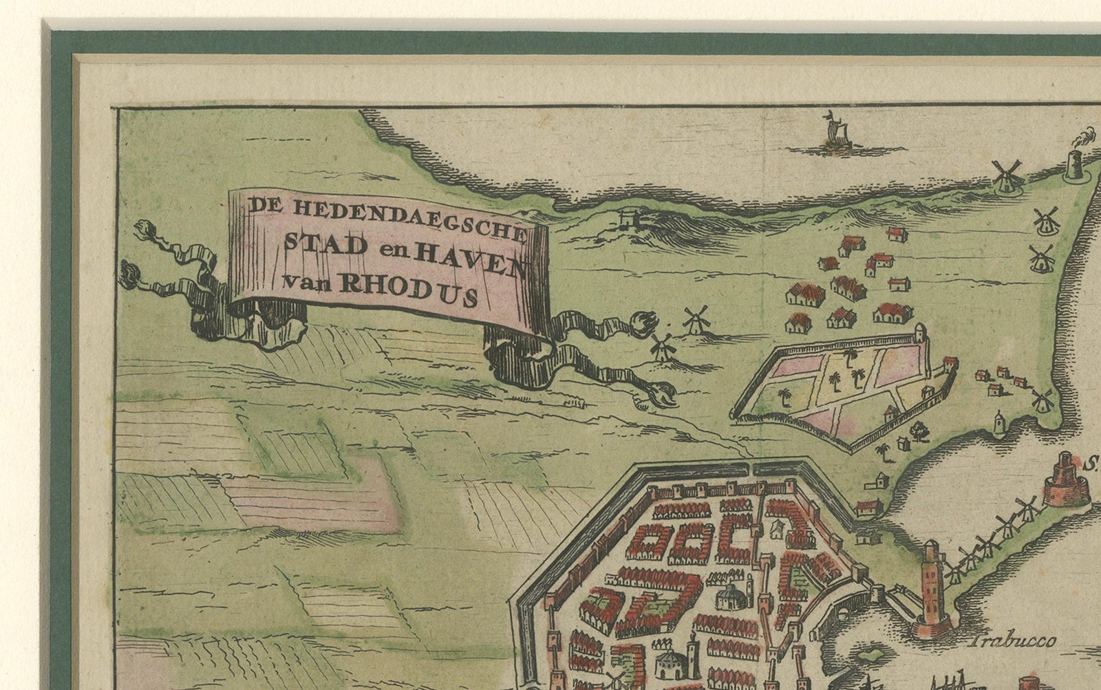
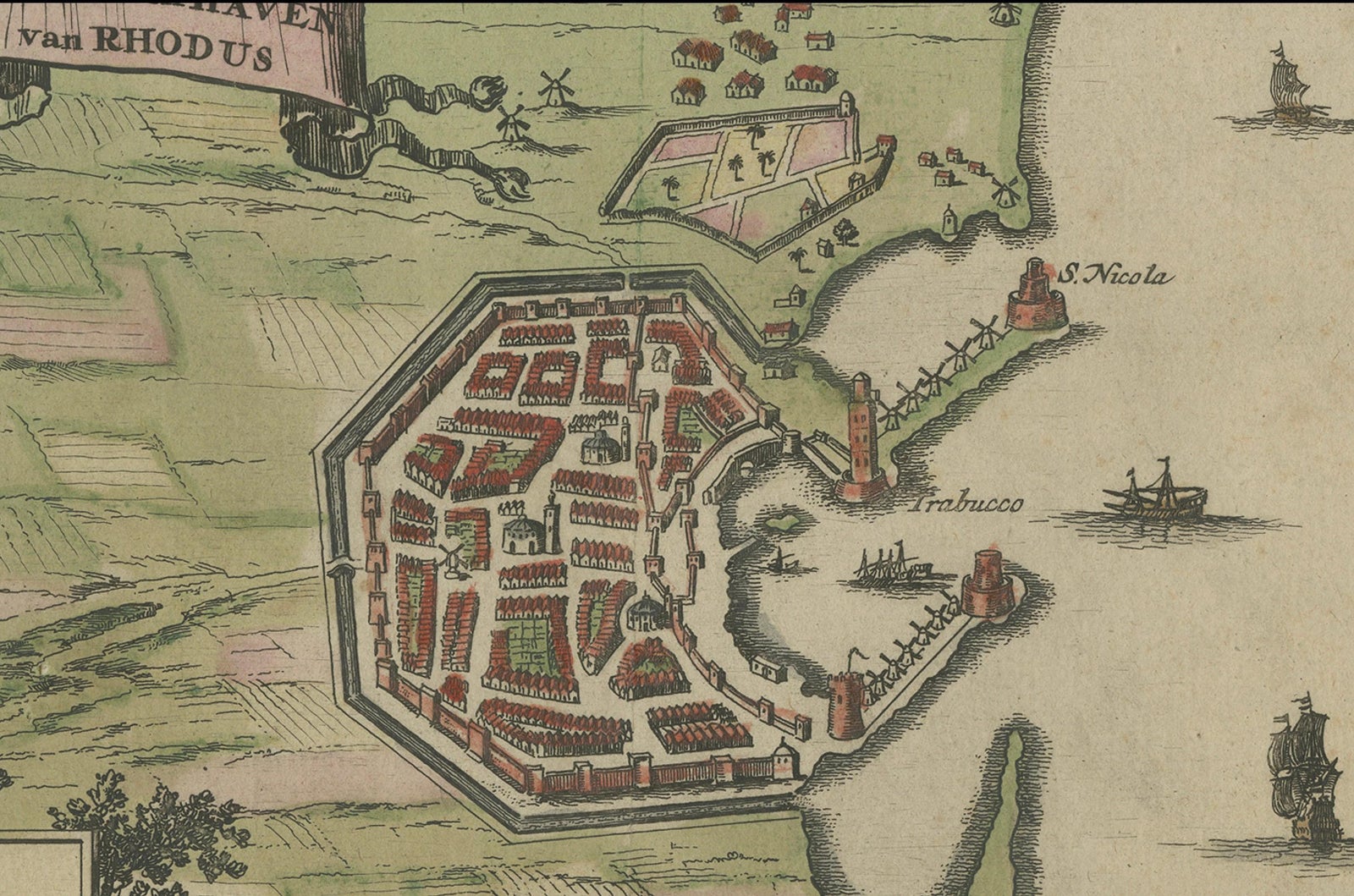
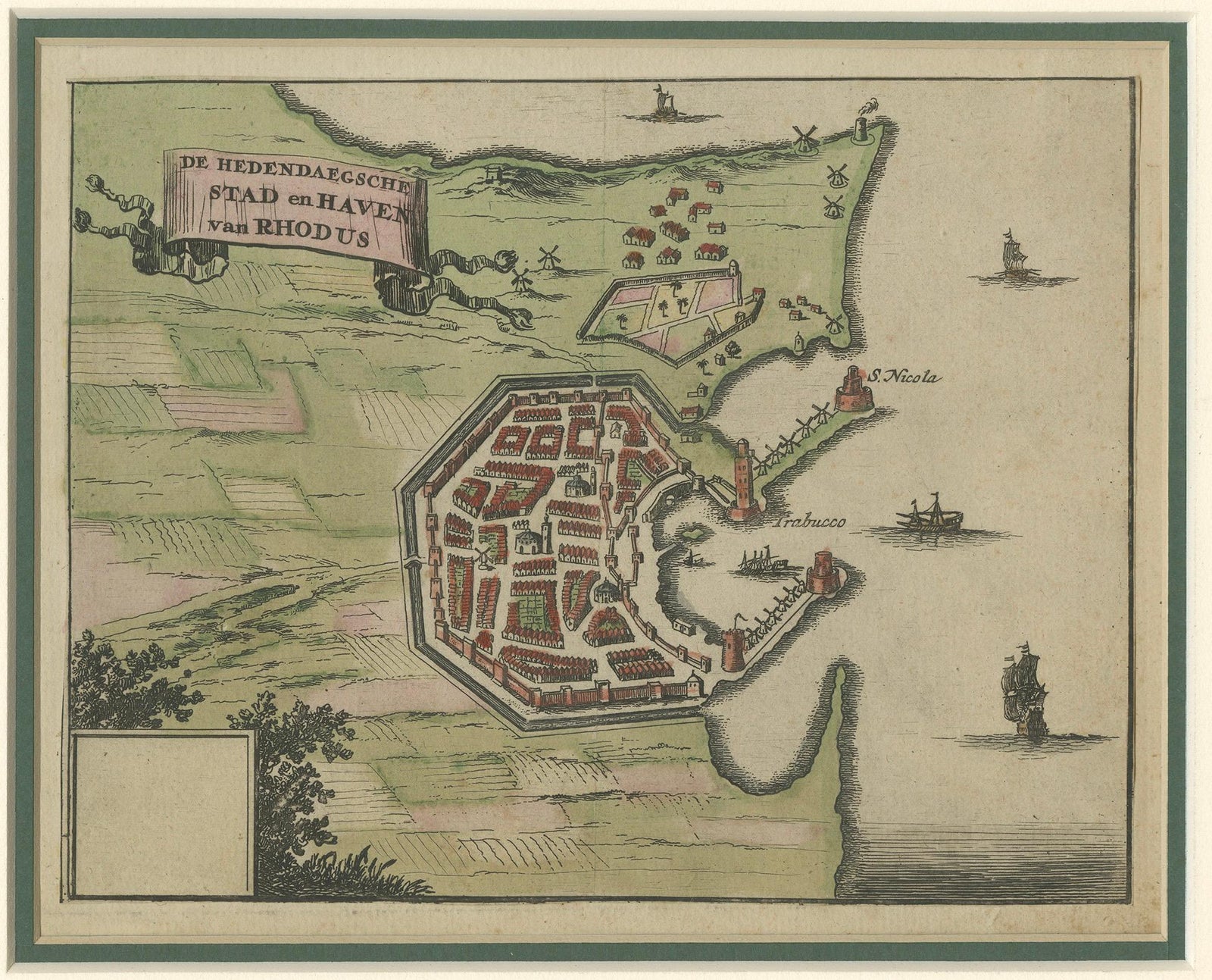
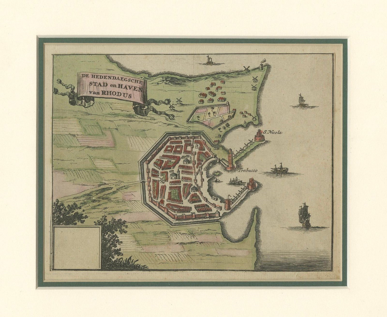
Framed and on the wall
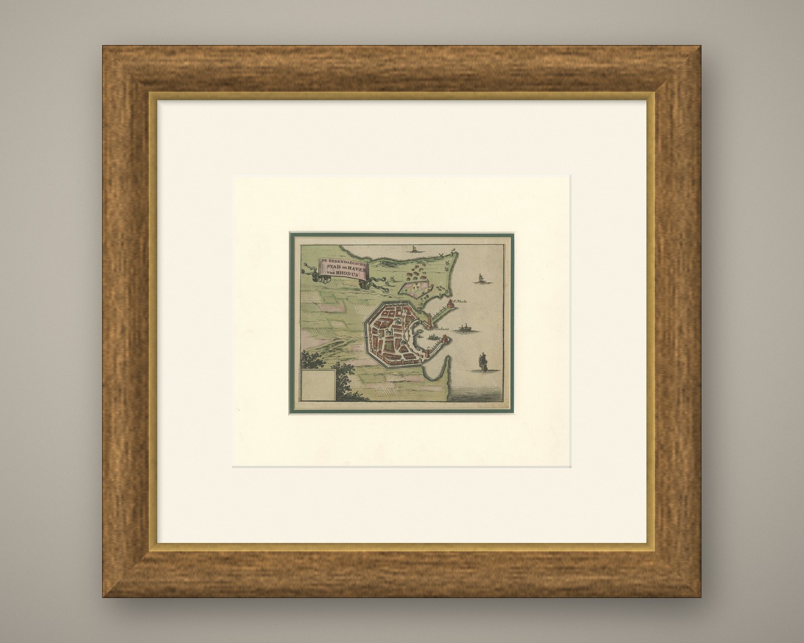
Frame and rooms are illustrations of how the piece could look; it is sold unframed unless the description says otherwise.
City and Harbour of Rhodes, Olfert Dapper, 1688 Hand-Coloured Engraving
£280
$370 · €330
Original print, not a reproduction.
Ships worldwide from the Netherlands, flat, insured and tracked. 14-day returns. To buy, use Ask a question and we will reserve it for you.
- Date
- 1688
- Sheet size
- 10.5 × 12 in (26.7 × 30.4 cm)
- Condition
- Good. Good condition with light overall toning and some minor foxing, mostly in the margins. Hand colouring remains fresh, particularly in the greens of the fields and the red roofs of the city buildings. Comes with double `matting board.
- Collection
- Harbours & ports
- Era
- Before 1700, Dutch Golden Age
- Stock no.
- f_46271412
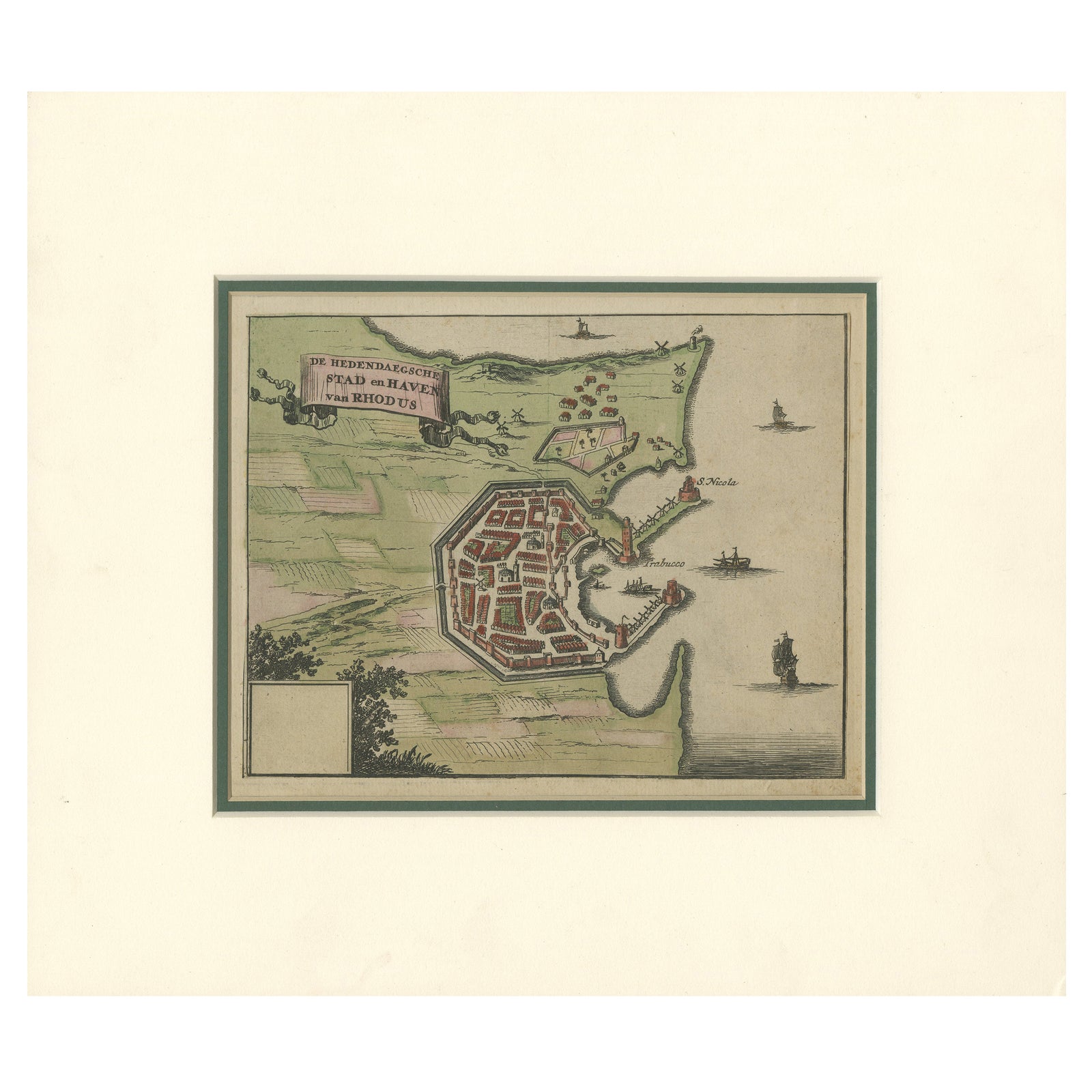
City and Harbour of Rhodes, Olfert Dapper, 1688 Hand-Coloured Engraving
Description:
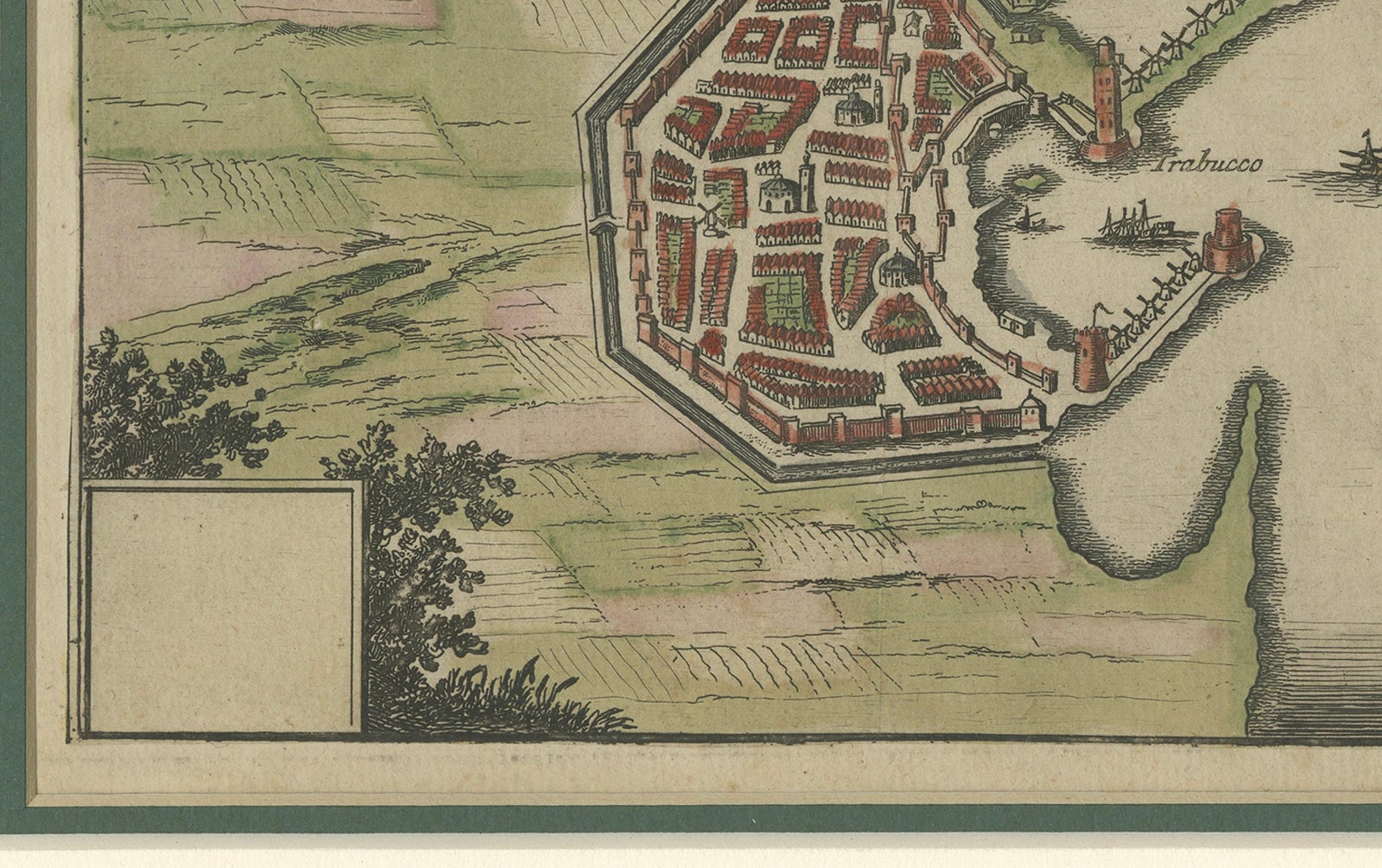
This historical hand-coloured copperplate engraving, titled “De hedendaegsche Stad en Haven van Rhodus” (The Present-Day City and Harbour of Rhodes), was published in 1688 by the Dutch writer and geographer Olfert Dapper (1636–1689). It offers a detailed bird’s-eye view of the fortified city of Rhodes and its natural harbour as they appeared in the late 17th century. The scene captures the massive defensive walls, bastions, and towers built by the Knights Hospitaller, along with a dense network of red-roofed houses arranged within the polygonal fortifications.
Beyond the city walls, windmills, cultivated fields, and small rural settlements populate the landscape. The harbour entrance is marked by two prominent towers, and ships of varying sizes sail in the surrounding waters, underscoring the island’s continuing role as a strategic maritime hub in the Aegean. The title is elegantly framed in a decorative scrollwork cartouche at upper left, a hallmark of Dutch Baroque cartographic design.
Rhodes has been a key point of control in Mediterranean trade routes for centuries, and during the 17th century it remained an important Ottoman possession, its fortifications and harbour infrastructure still bearing the influence of its medieval defenders. Dapper’s works, known for their rich illustrations and descriptive texts, were among the most widely read geographical accounts of the period, intended to educate as well as to inspire curiosity about distant lands.
Condition report:
Good condition with light overall toning and some minor foxing, mostly in the margins. Hand colouring remains fresh, particularly in the greens of the fields and the red roofs of the city buildings. Comes with double `matting board.
Framing tips:
The existing cream mat with a green inner line pairs well with the colouring of the map. A dark wood or antiqued gilt frame would complement the engraving’s historical character.
Technique: Hand-coloured copperplate engraving on laid paper
Maker: Olfert Dapper, Amsterdam, 1688
EXPLORE