Close-ups
Framed and on the wall
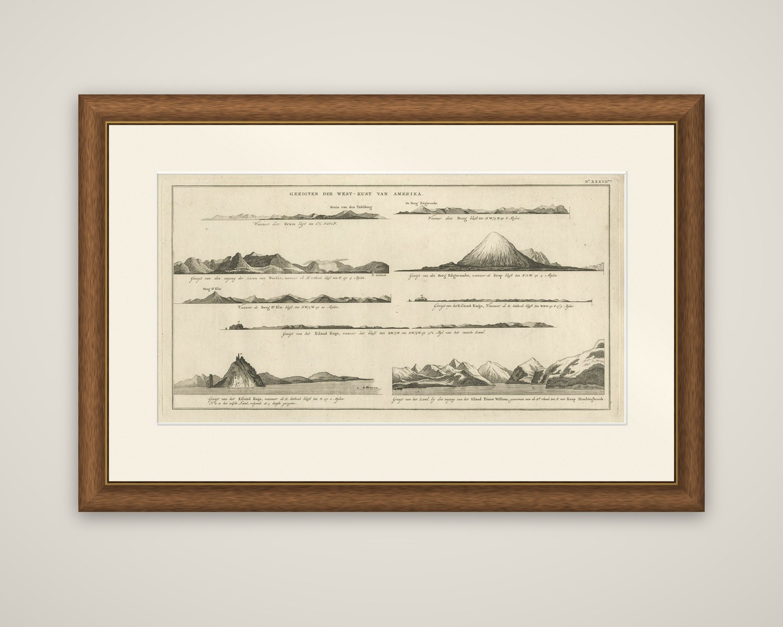
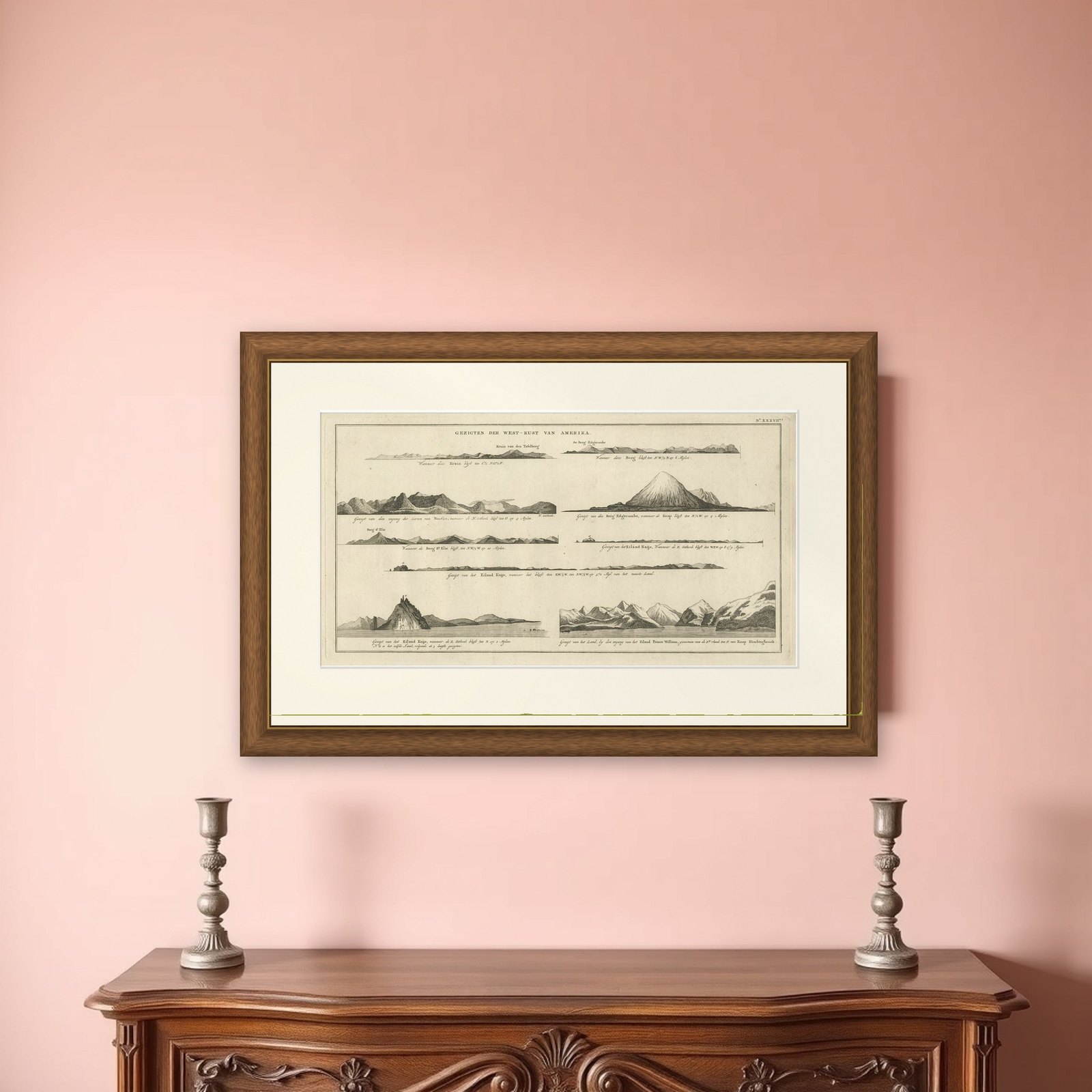
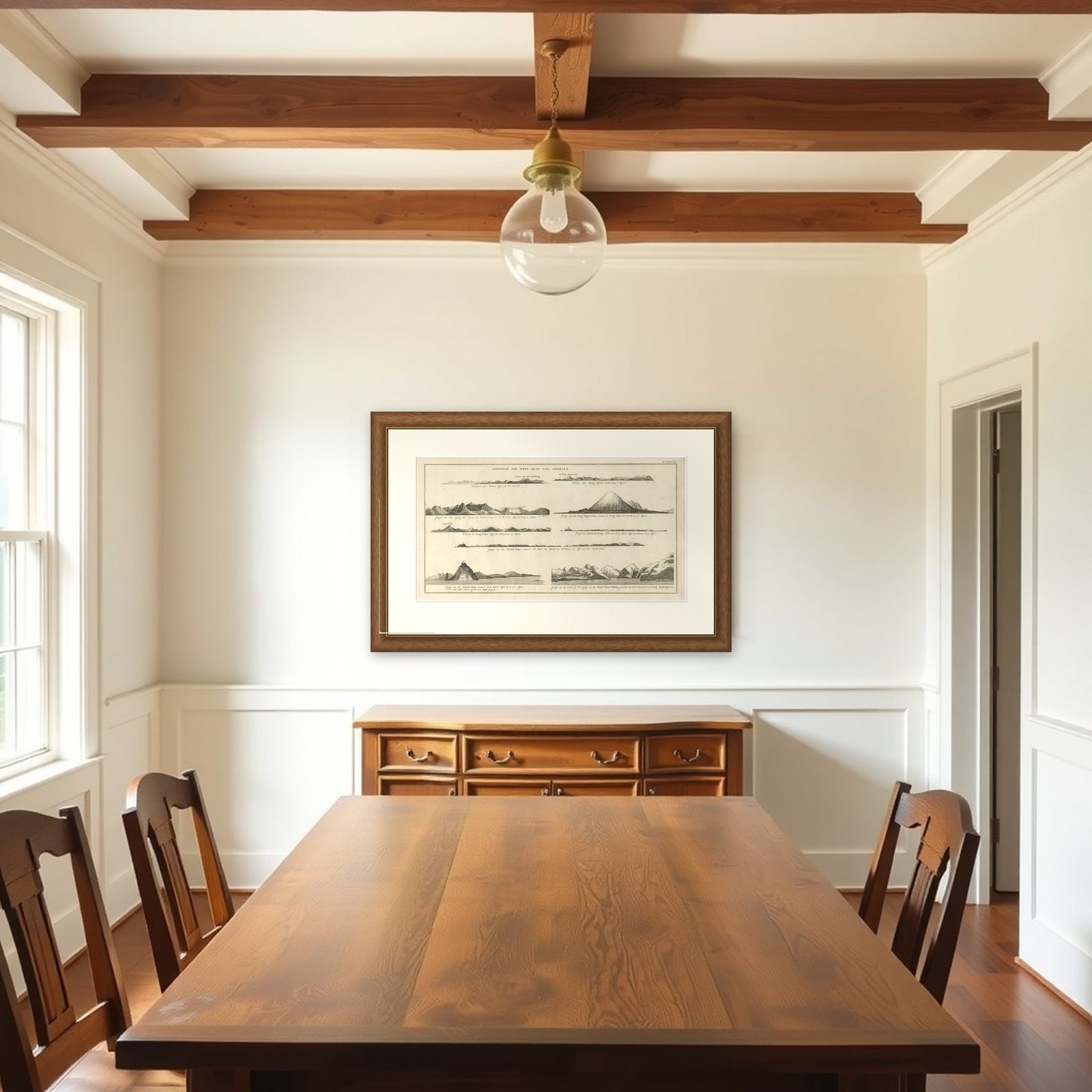
Frame and rooms are illustrations of how the piece could look; it is sold unframed unless the description says otherwise.
Early Coastal Views of Various Islands of the American West Coast, 1803
€222
$250 · £190
Original print, not a reproduction.
Ships worldwide from the Netherlands, flat, insured and tracked. 14-day returns. To buy, use Ask a question and we will reserve it for you.
- Date
- 1803
- Sheet size
- 11.8 × 19.9 in (30 × 50.5 cm)
- Condition
- Very good, general age-related toning. Some wear, please study image carefully.
- Collection
- Voyages of discovery
- Era
- 1790 to 1849, Age of sail
- Stock no.
- f_27258082
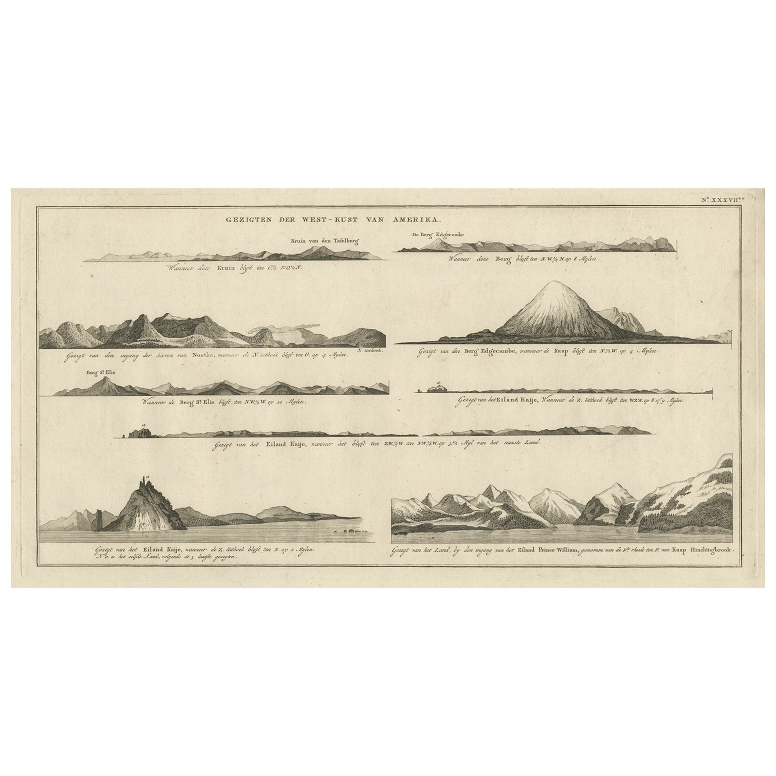
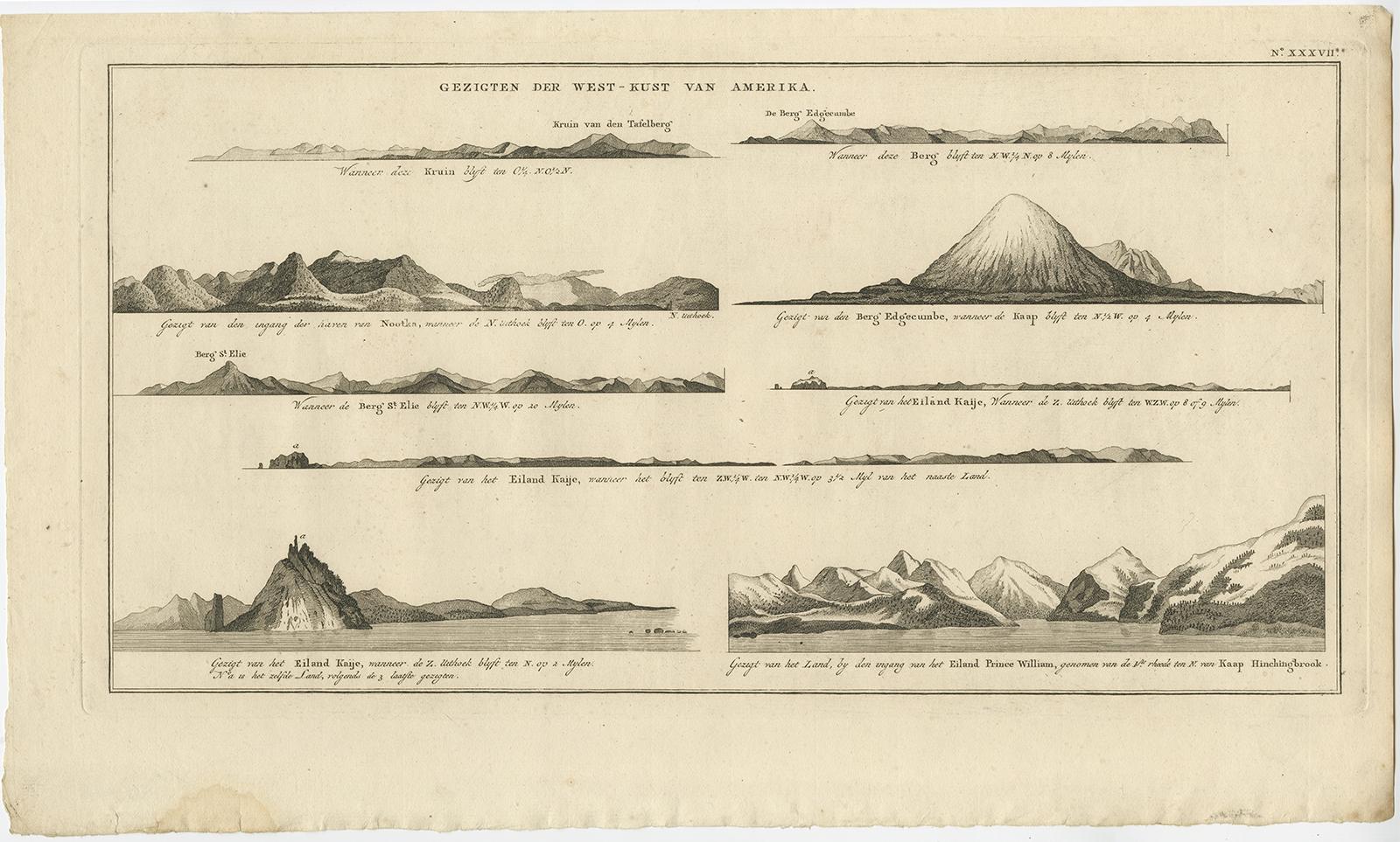
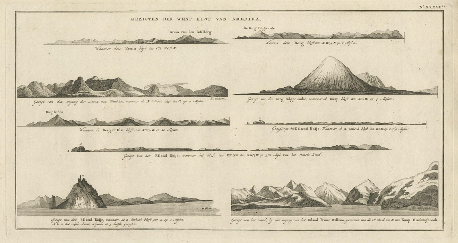
Coastal profiles of the northwest coast of America, an original copper engraving titled "Gezigten der West-Kust van Amerika" (Views of the West Coast of America), from the Dutch edition of James Cook's voyage account, Reizen Rondom de Waereld, translated by J.D. Pasteur and published by Honkoop, Allart en Van Cleef in 1803. The sheet carries a plate number, "N° XXXVII", at the upper right.
Seven elongated coastal views are stacked down the sheet, each with a Dutch caption giving the bearing and distance from which the headland was seen. They include named profiles such as Mount Edgecumbe, Mount St. Elias, Kayes Island (Kaije) and a view of the land near the entrance of Prince William Sound with Cape Hinchinbrook. The drawn outlines range from low, flat shorelines to a sharp conical peak and snow-covered ranges at the lower right.
Cook's third voyage (1776 to 1780) charted this stretch of the Pacific coast, and views of this kind were drawn as sailing aids so that landfalls could be recognized from the sea.
EXPLORE