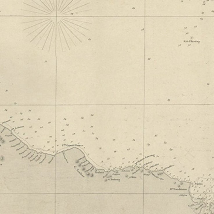
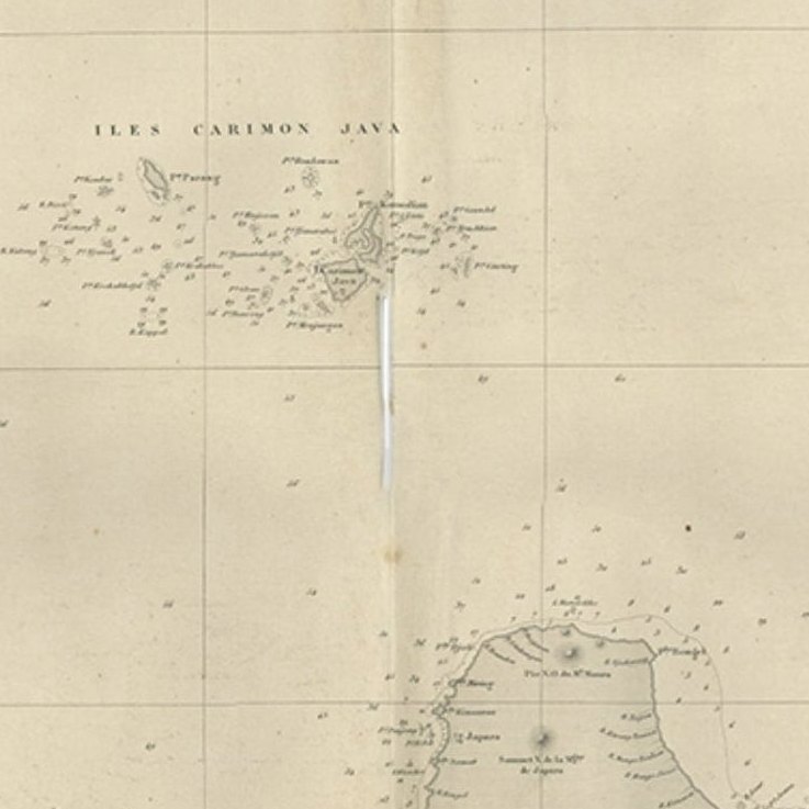
Close-ups
Framed and on the wall
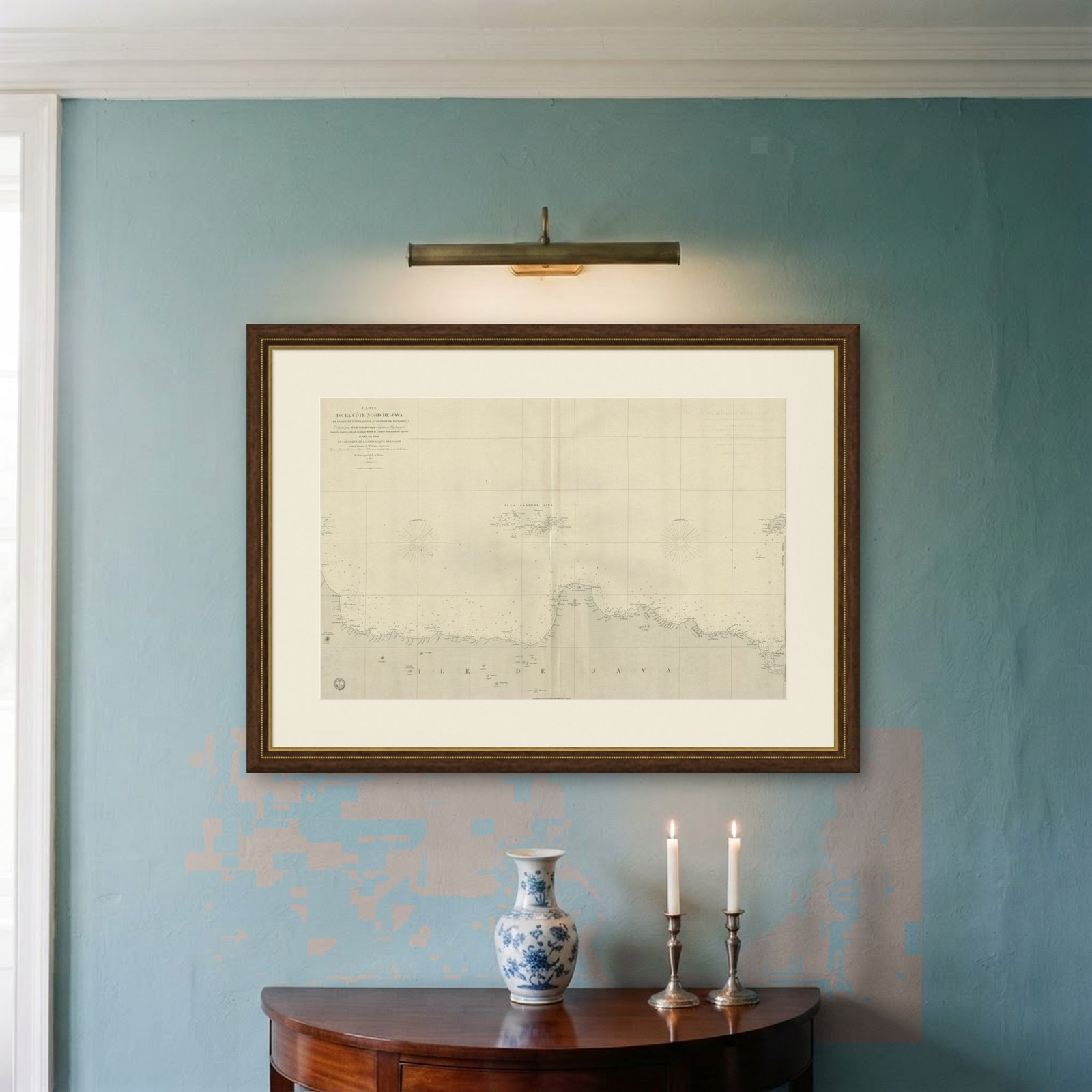
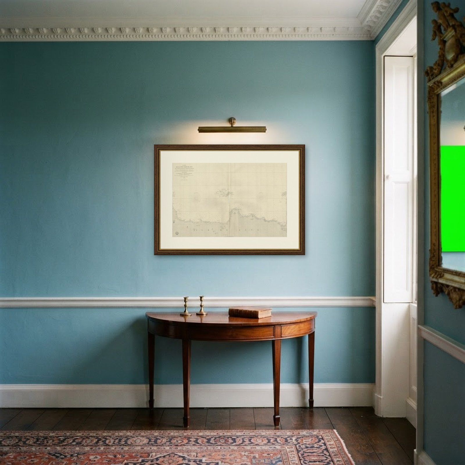
Frame and rooms are illustrations of how the piece could look; it is sold unframed unless the description says otherwise.
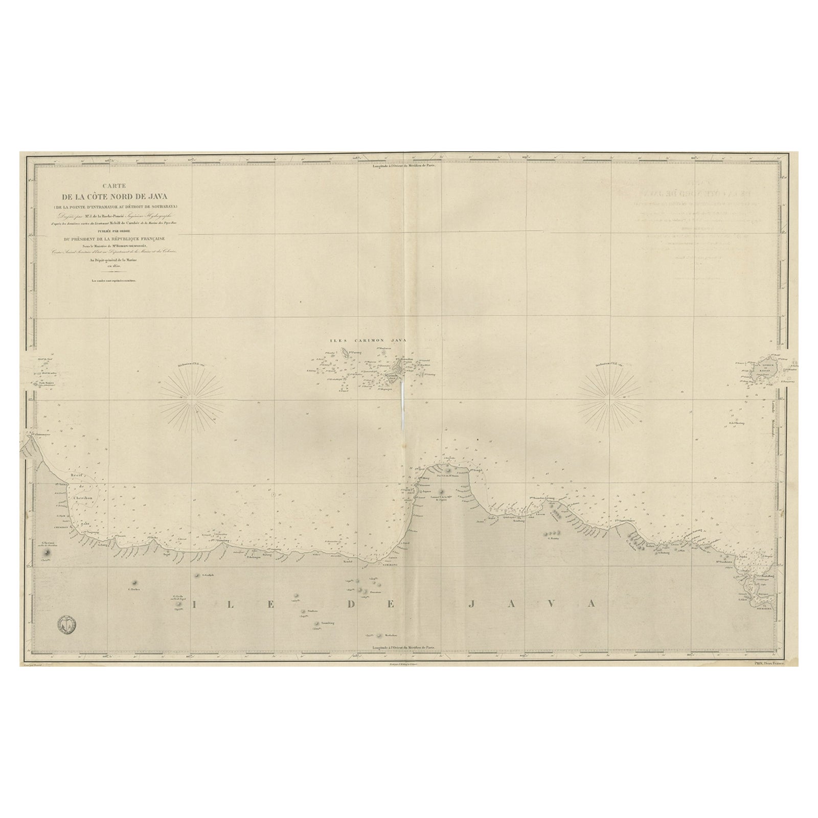
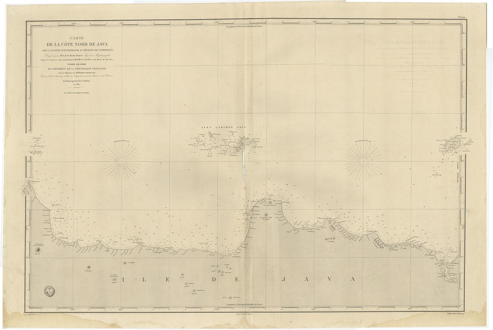
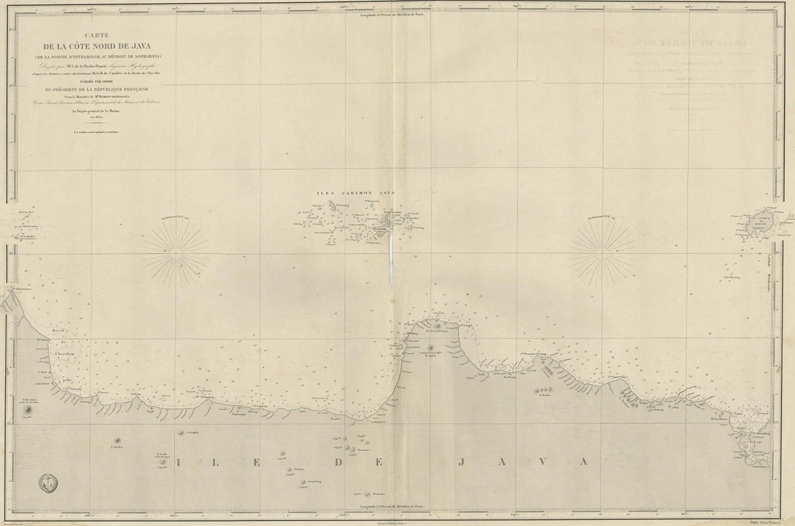
Early French Nautical Chart of the Northern Coast of of Java, Indonesia, C.1850
$1,290
€1,150 · £975
Original print, not a reproduction.
Ships worldwide from the Netherlands, flat, insured and tracked. 14-day returns.
- Date
- 1850
- Sheet size
- 26.4 × 38.6 in (67 × 98 cm)
- Condition
- Good. General age-related toning. Some stains and wear, blank verso. Please study image carefully.
- Collection
- Sea charts
- Era
- 1850 and after, Steam and steel
- Stock no.
- f_27384302
Antique map titled Carte de la côte Nord de Java.
Early French nautical chart of the northern coast of the island of Java, Indonesia. It includes Cirebon, Semarang, Jepara and many other cities and villages. Published by Dépôt des Cartes et Plans de la Marine.
Artists and Engravers: Dépôt des Cartes et Plans de la Marine ( fl. 1720, present ), often called the Depot de Marine, was a French hydrographic mapping organization founded in 1720 under Charles-Hercule of Albert de Luynes ( 1674, 1734 ). Much like the U.S. Coast Survey, the British Admiralty, and the Spanish Deposito Hydrografico, the Depot was initiated as a storehouse and distribution center of existing nautical and marine charts. Eventually the depot initiated its own mapping activities in an attempt to improve and expand upon existing material.