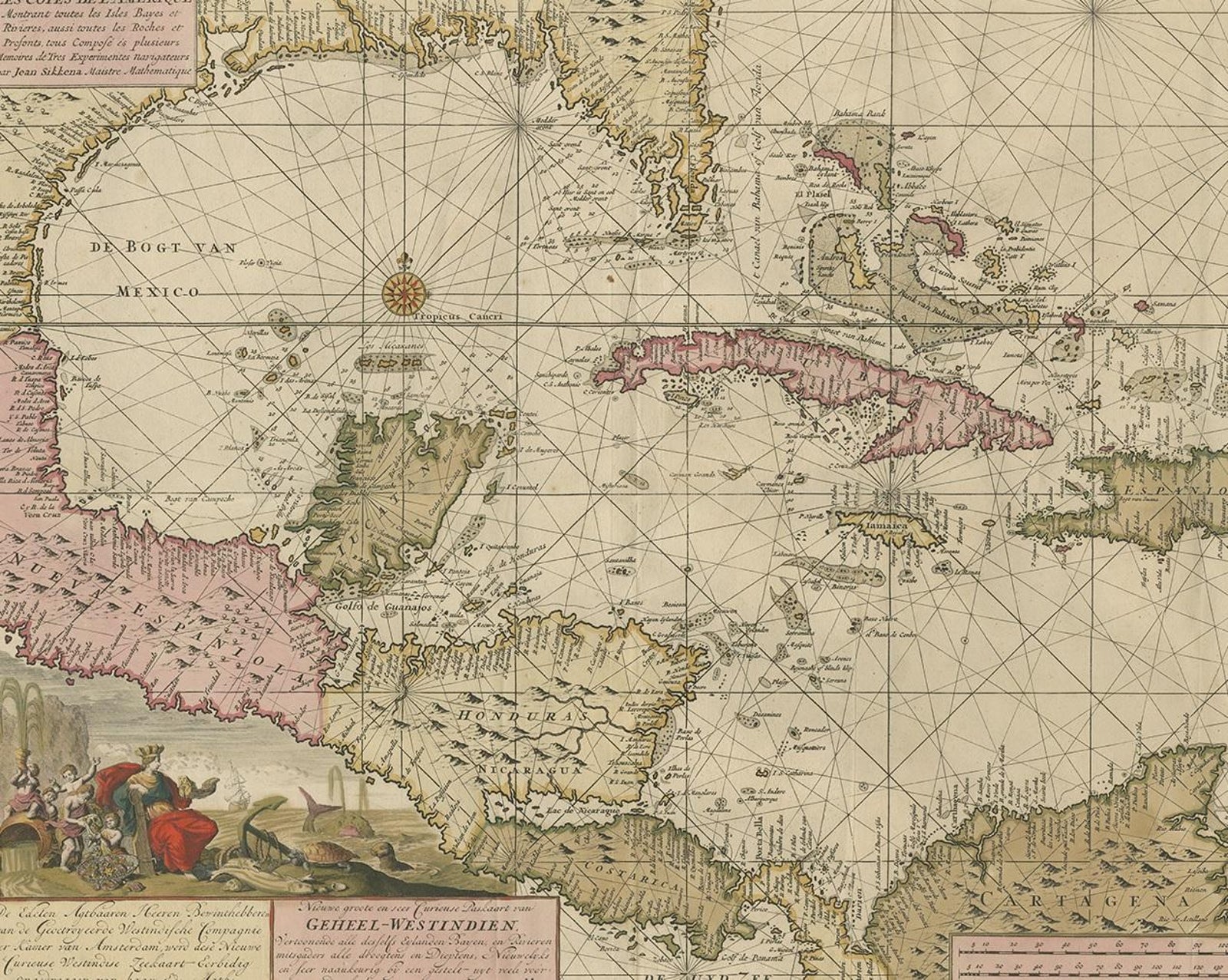
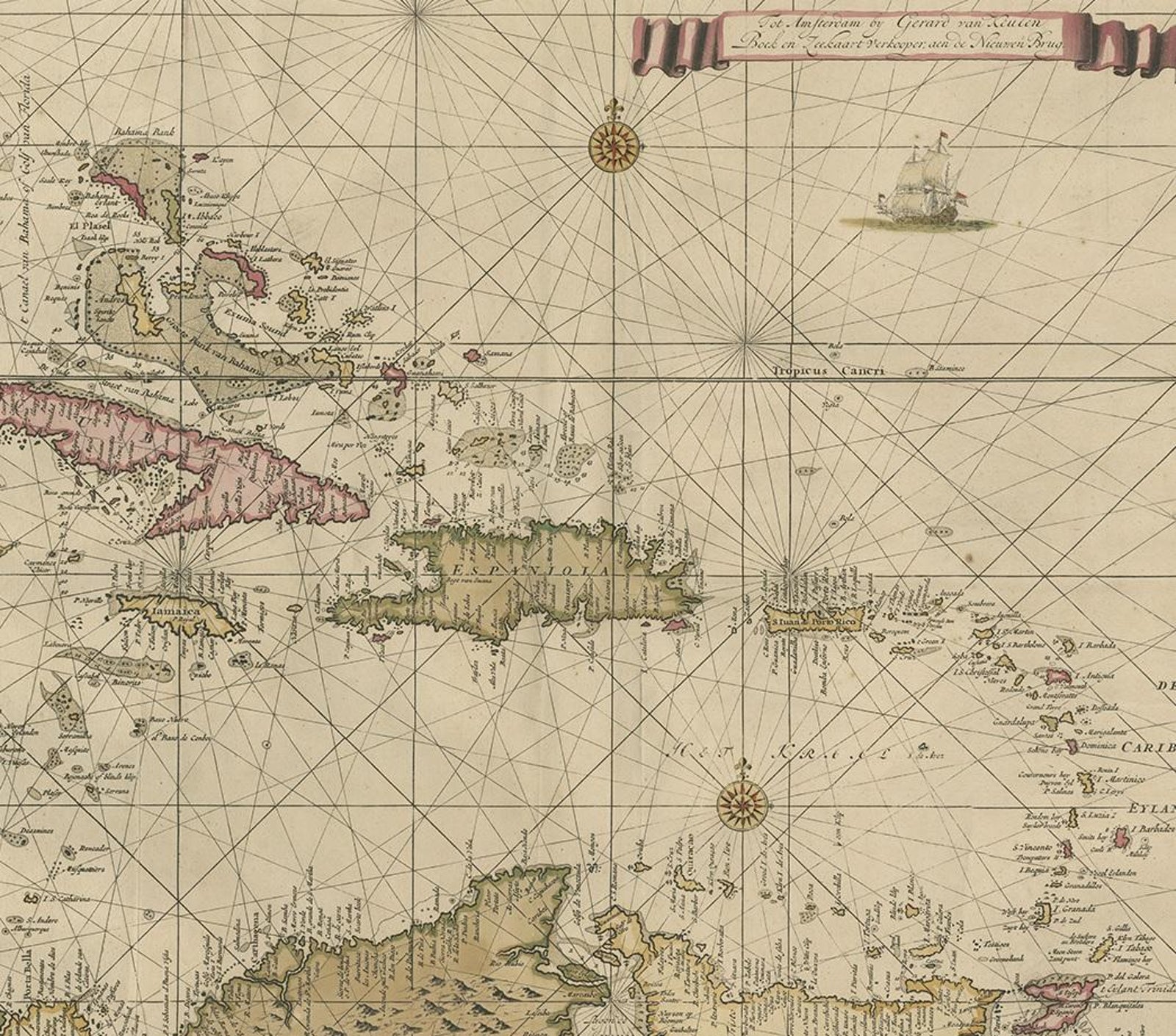
Close-ups
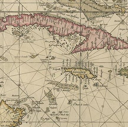
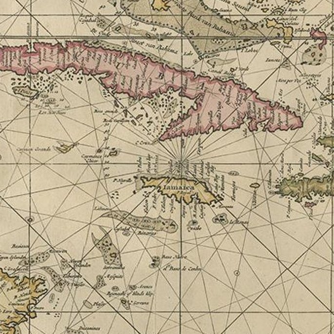
Framed and on the wall
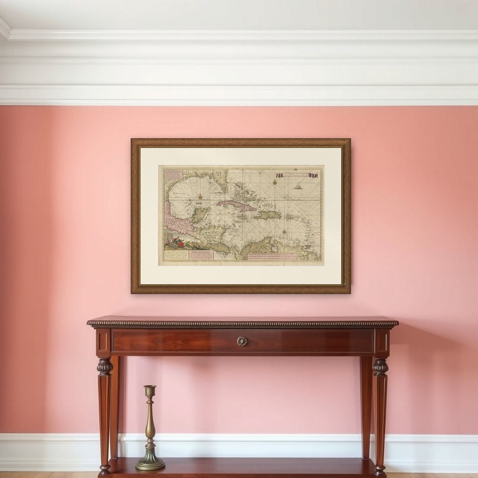
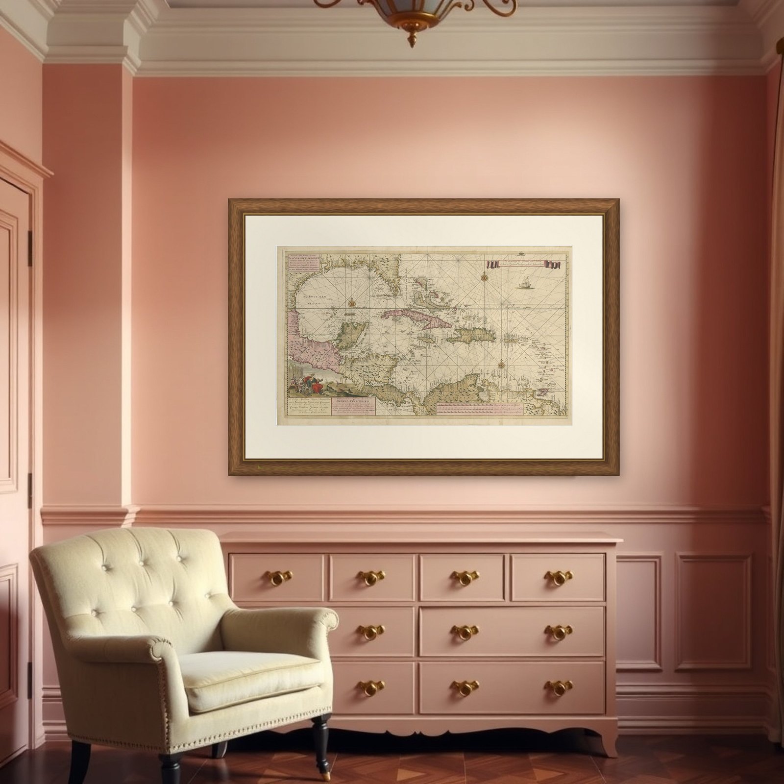
Frame and rooms are illustrations of how the piece could look; it is sold unframed unless the description says otherwise.
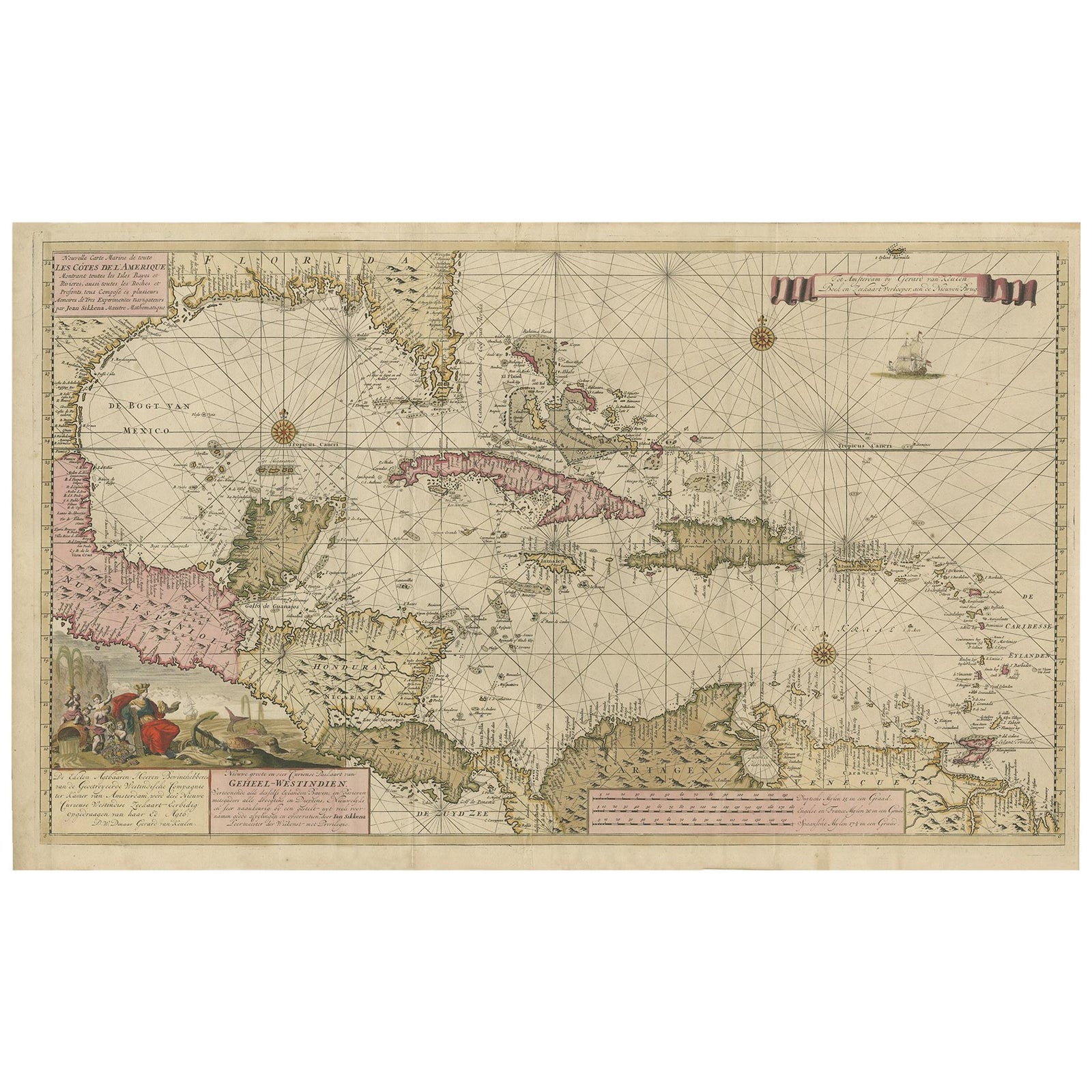
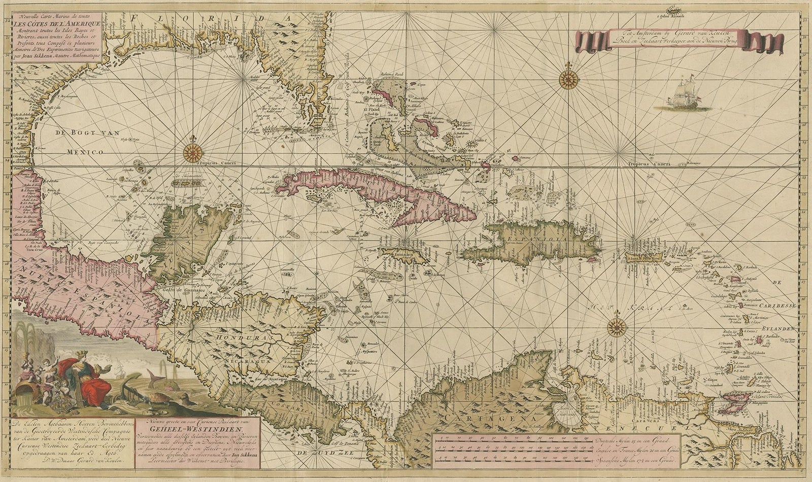
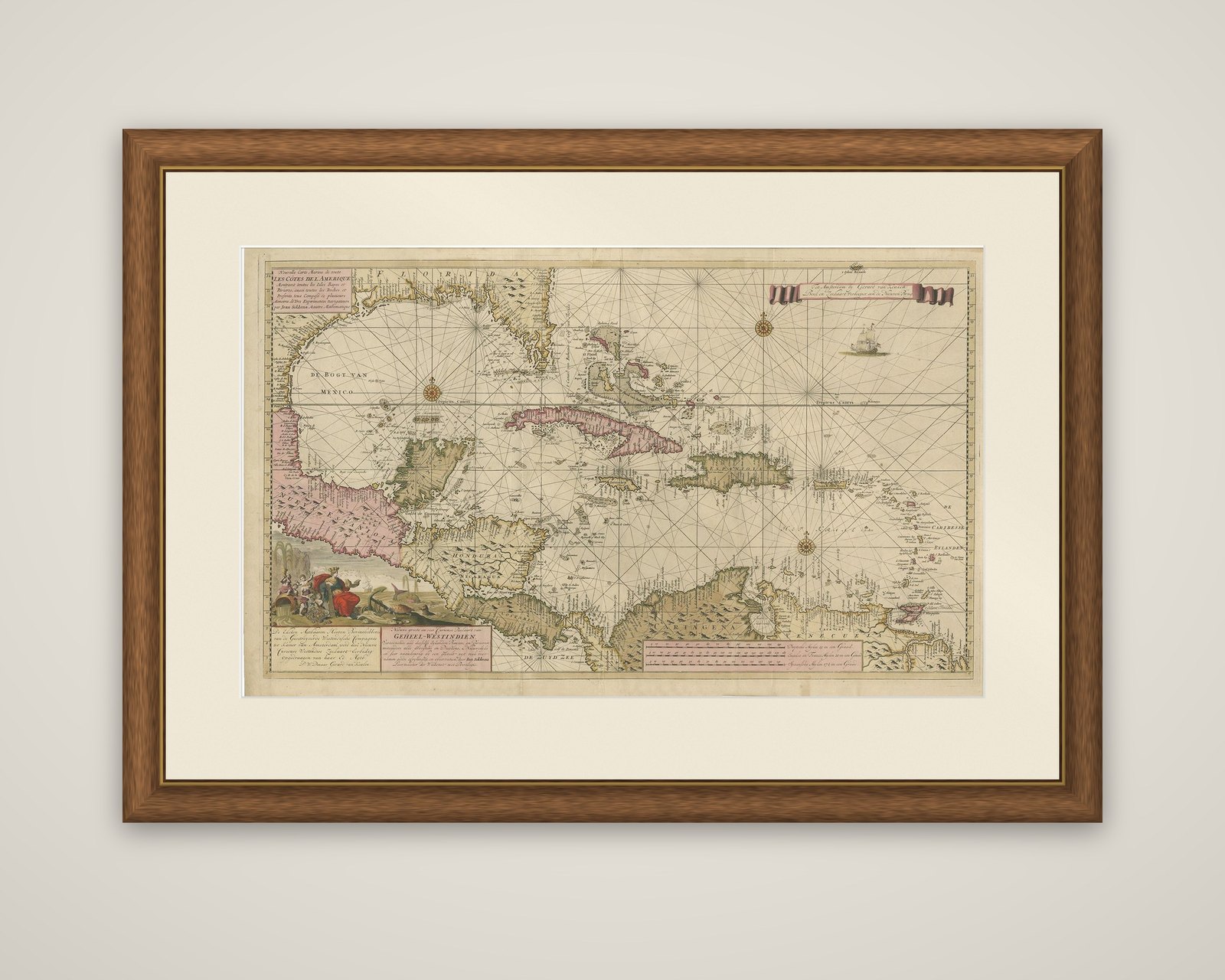
Engraving of a Map of Florida, the Gulf Coast, Caribbean & Central America, 1728
$15,350
€13,700 · £11,605
Original print, not a reproduction.
Ships worldwide from the Netherlands, flat, insured and tracked. 14-day returns. To buy, use Ask a question and we will reserve it for you.
- Date
- 1728
- Sheet size
- 24.6 × 40.6 in (62.5 × 103 cm)
- Technique
- Engraved
- Condition
- Good. Original folding lines and original/contemporary hand coloring. General age-related toning, minor wear. Blank verso. Please study image carefully.
- Collection
- Sea charts
- Era
- 1700 to 1789, Age of discovery
- Stock no.
- f_20826202
A sea chart of the West Indies, titled "Nouvelle Carte Marine de toutes les Côtes de l'Amérique," also lettered in Dutch as "Nieuwe groote en seer Curieuse Paskaart van Geheel-Westindien." The chart is an engraving by Jan Sikkena, published by Gerard van Keulen, son of Johannes van Keulen, in Amsterdam about 1728, with original hand coloring.
The chart covers Florida and the Gulf of Mexico at the upper left, Cuba, Hispaniola, Jamaica and Puerto Rico across the center, the Lesser Antilles to the right, and Central America and the northern coast of South America along the bottom. Rhumb lines radiate from compass roses over the open water, with a sailing ship in the upper right and a scale bar beneath. The coastline is outlined in color, with Mexico in pink and Cuba in a strong red, and a large allegorical cartouche at lower left shows figures with trade goods and the title text, while a ribbon-bearing banner and dedication appear at upper right. Place names run along the coasts.
The Van Keulen house in Amsterdam was among the leading chart publishers of the day, and charts of this type were made for use at sea.