Close-ups
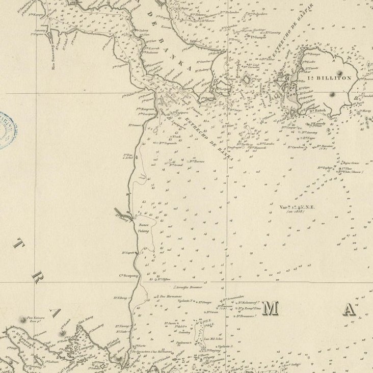
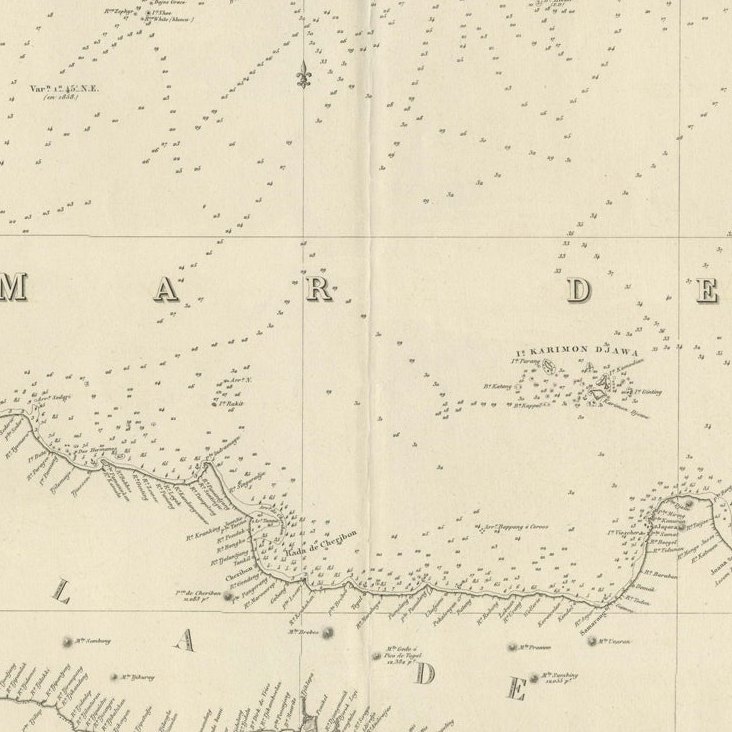
Framed and on the wall
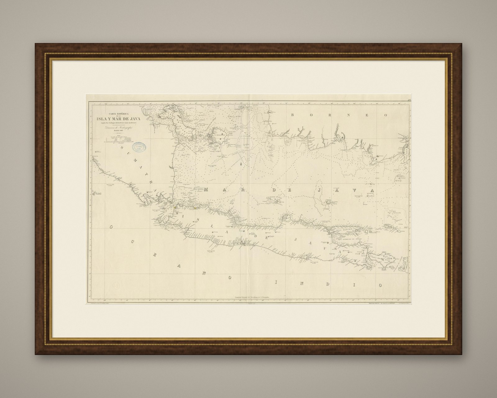
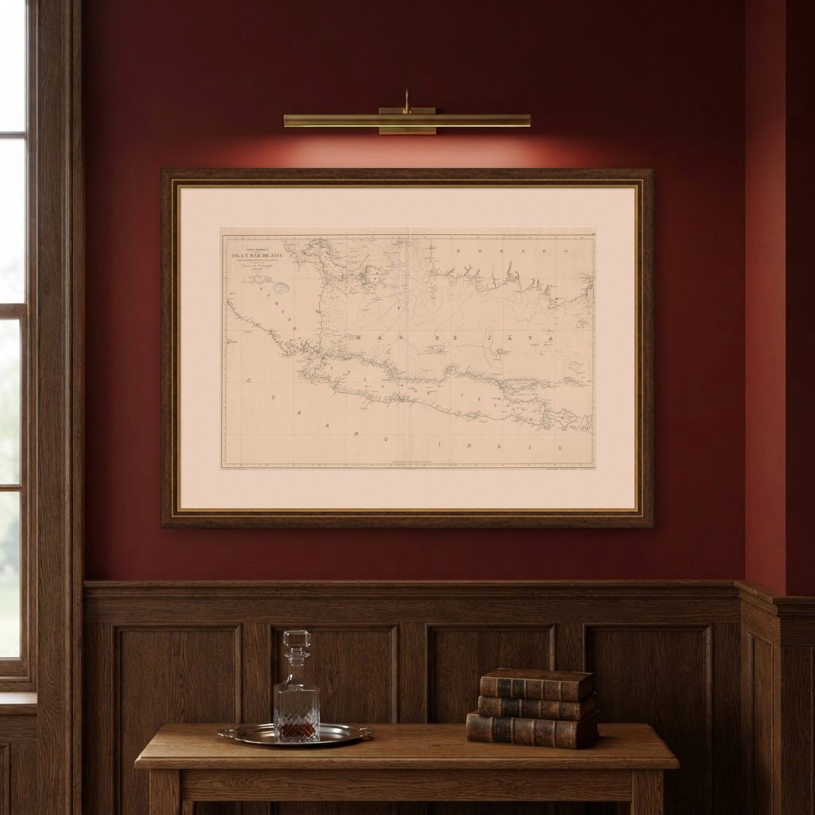

Frame and rooms are illustrations of how the piece could look; it is sold unframed unless the description says otherwise.
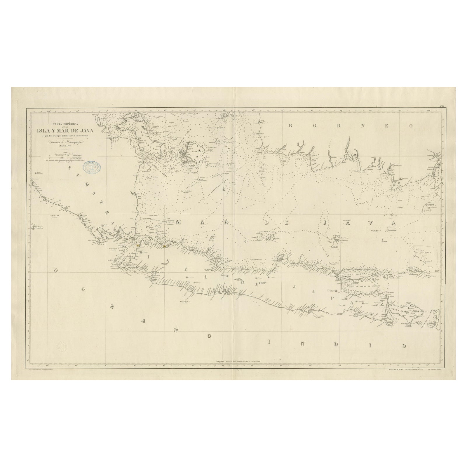
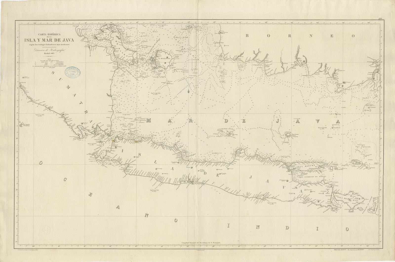
Large Chart of the island and sea of Java, Indonesia
€2,500
$2,800 · £2,120
Original print, not a reproduction.
Ships worldwide from the Netherlands, flat, insured and tracked. 14-day returns. To buy, use Ask a question and we will reserve it for you.
- Date
- Not stated
- Sheet size
- 27.2 × 40.6 in (69.2 × 103 cm)
- Condition
- Good. Wear consistent with age and use. General age-related toning. Few small weak spots. Stamp near title. Blank verso. Please study image carefully.
- Collection
- Sea charts
- Stock no.
- f_31885432
Antique map titled 'Carte Esférica de la Isla Y Mar de Java'. Large chart of the island and sea of Java, Indonesia. Beautiful nautical chart, published 1863 in Spain.