Close-ups
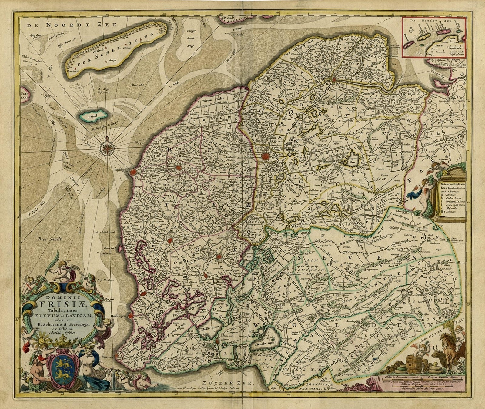
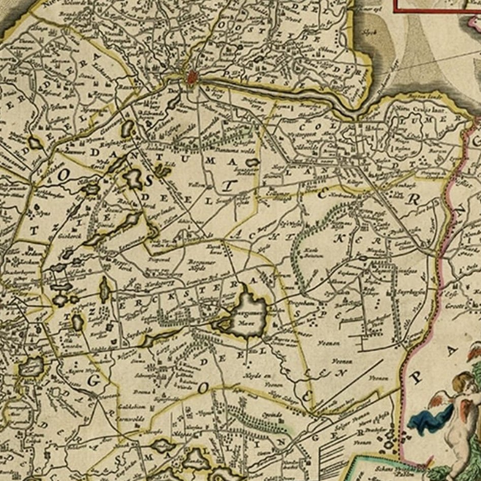
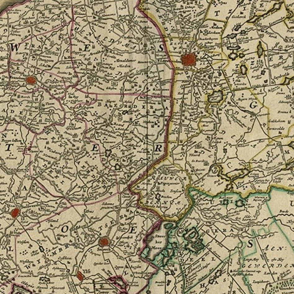
Framed and on the wall
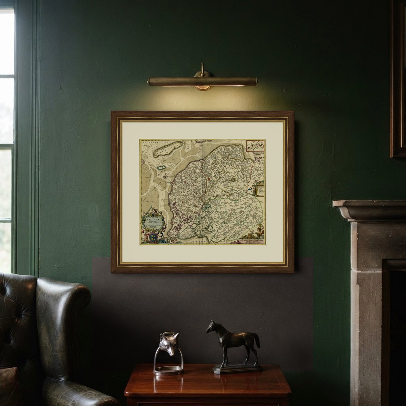
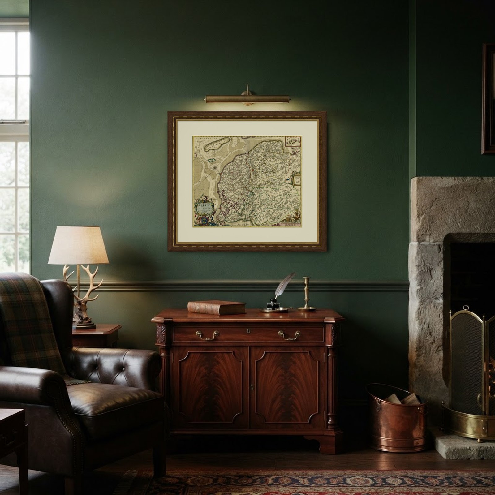
Frame and rooms are illustrations of how the piece could look; it is sold unframed unless the description says otherwise.
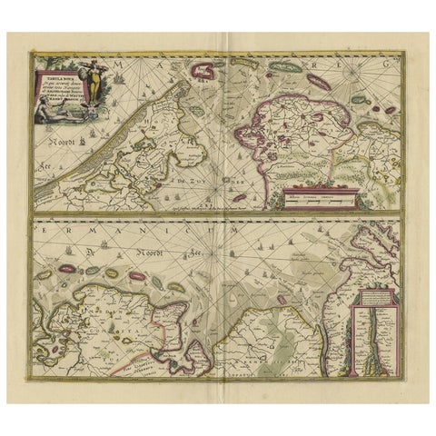
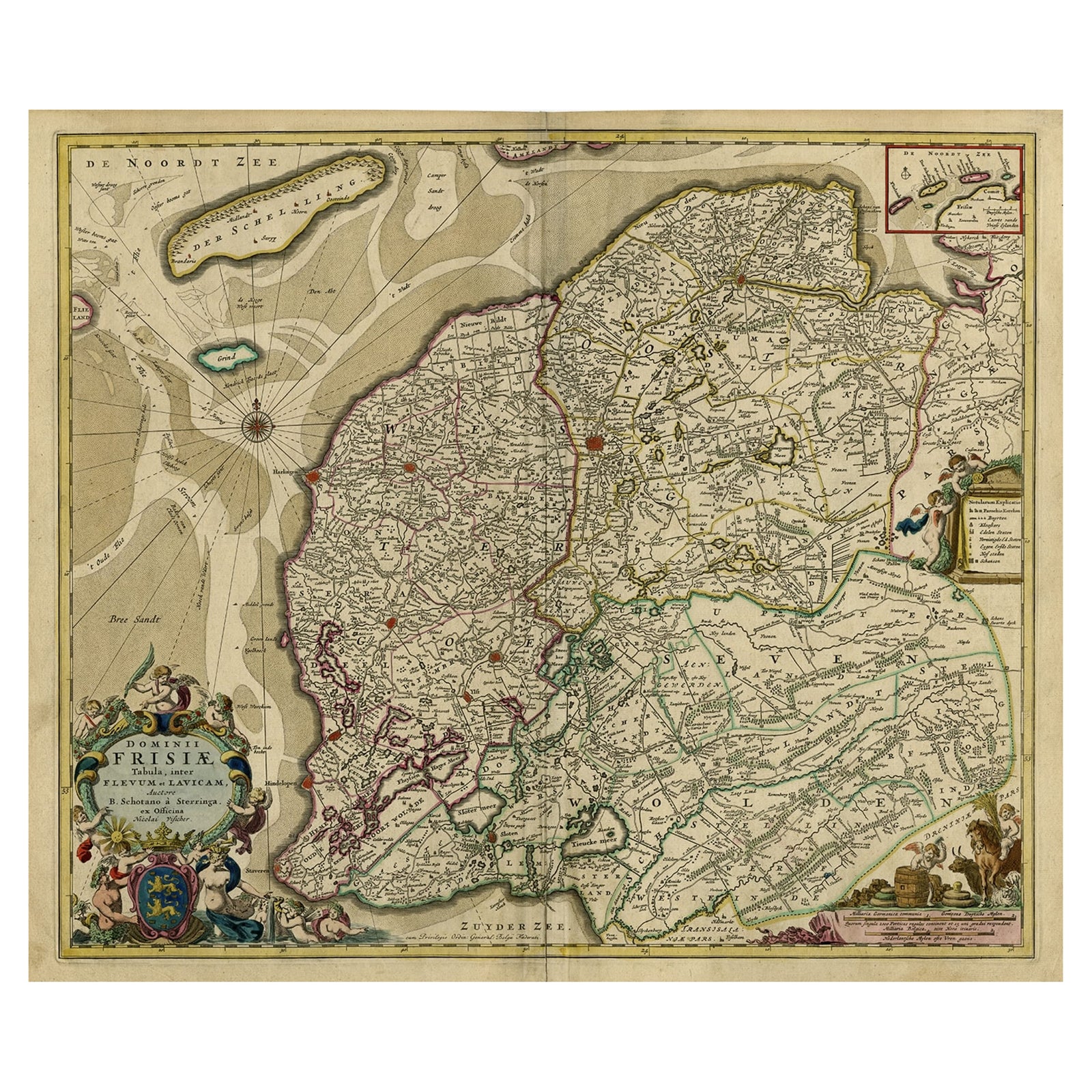
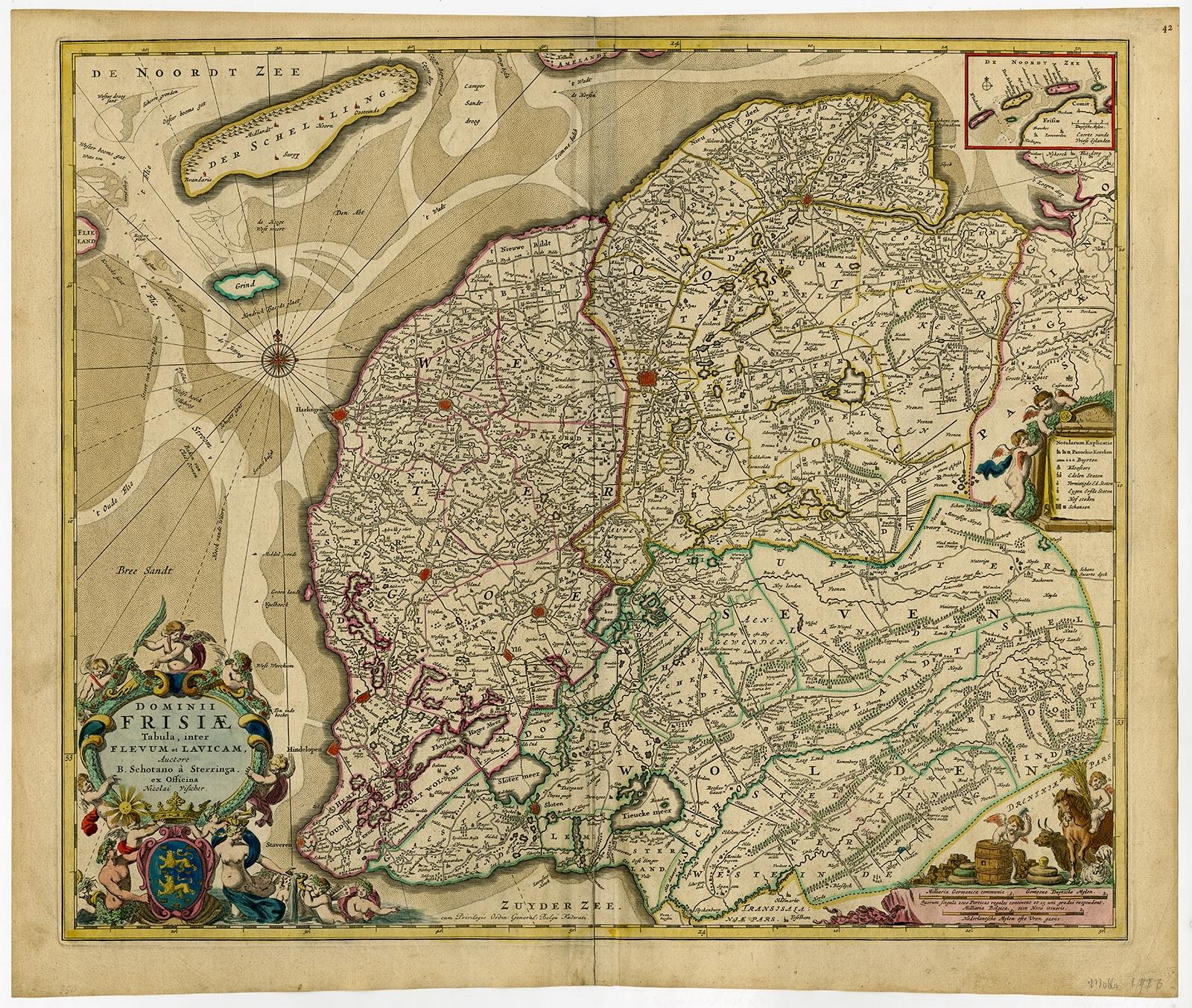
Large Copper Engraved Map of the Coastline of Friesland and Terschelling, c.1670
€890
$995 · £755
Original print, not a reproduction.
Ships worldwide from the Netherlands, flat, insured and tracked. 14-day returns. To buy, use Ask a question and we will reserve it for you.
- Date
- 1670
- Sheet size
- 20.3 × 23.9 in (51.5 × 60.7 cm)
- Condition
- Good. Given age. Original middle fold, as issued. Slight paper separation at top and lower middle fold, Backed. Remains of paper from previous Atlas attachment at rear middle fold. Paper edges browned. Light soiling. Original coloring.
- Collection
- Sea charts
- Era
- Before 1700, Dutch Golden Age
- Stock no.
- f_27589542
Antique print, titled: 'Dominii Frisiae Tabula, inter Flevum et Lavicum (…)'
This large copper engraved map details the coastline of Friesland and Terschelling. At east is a part of Groningen. The main cities are colored in red. The very decorative cartouches displays putti and a coat of arms. At the right corner there is an inset with the isles belonging to this province. From: 'Germania Inferiorsive XVII Provinciarum Geographicae Generalis uit et Particulares tabulae.' (Kaert-Boeck van de XVII Nederlandtsche Provincien.), published by Nicolaas Visscher II in Amsterdam. ca. 1670. Exact ed. to be determined. Ref: Koeman III Vis 10 (18).
Artists and Engravers: Publisher: Nicolaes Visscher II. Cartographer: Bernardus Schotanus a Sterringa (1640-1704). Publisher: The Visscher family were art and map dealers in Amsterdam during the 17th century. Funded by C. J. Visscher (1587-1652), the business was continued by his son and grandson both named Nicolas. Nicolas Visscher I was born 1618 in Wenns, Austria. He died 1679 in Linz. After the death of Nicolas II, his widow passed the business to Pieter Schenk.