Close-ups
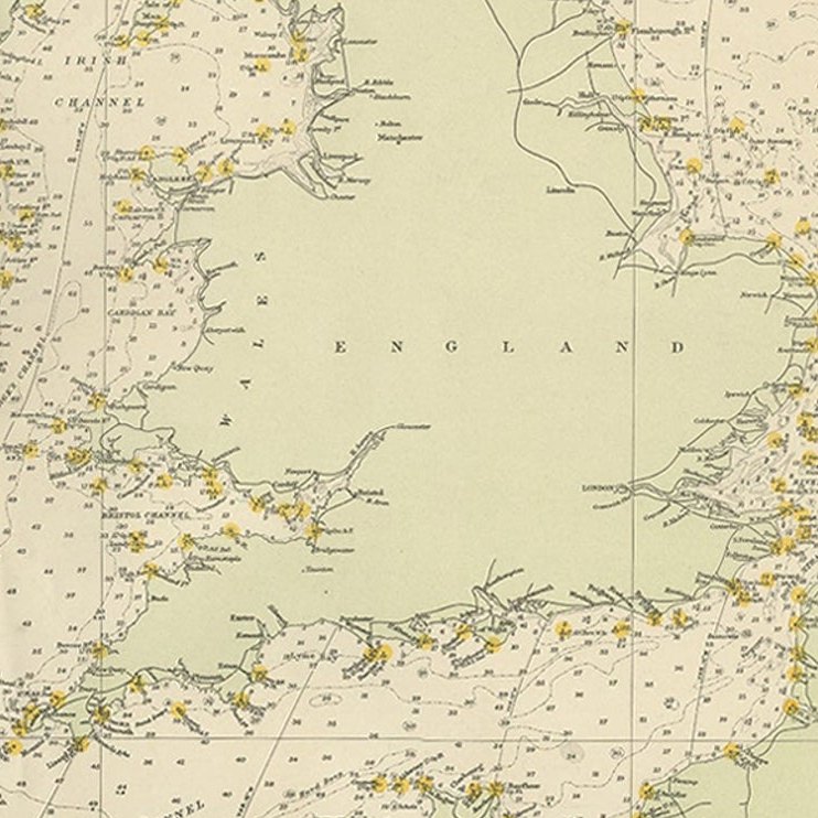
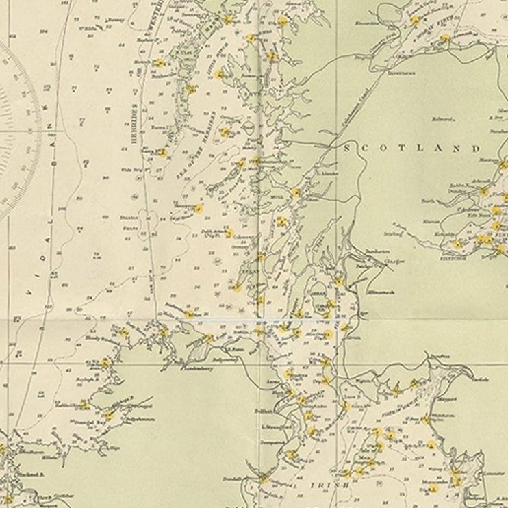
Framed and on the wall
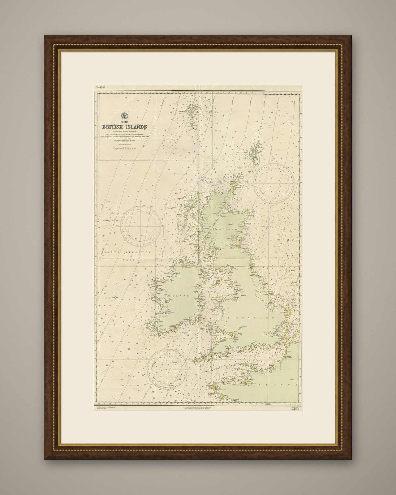
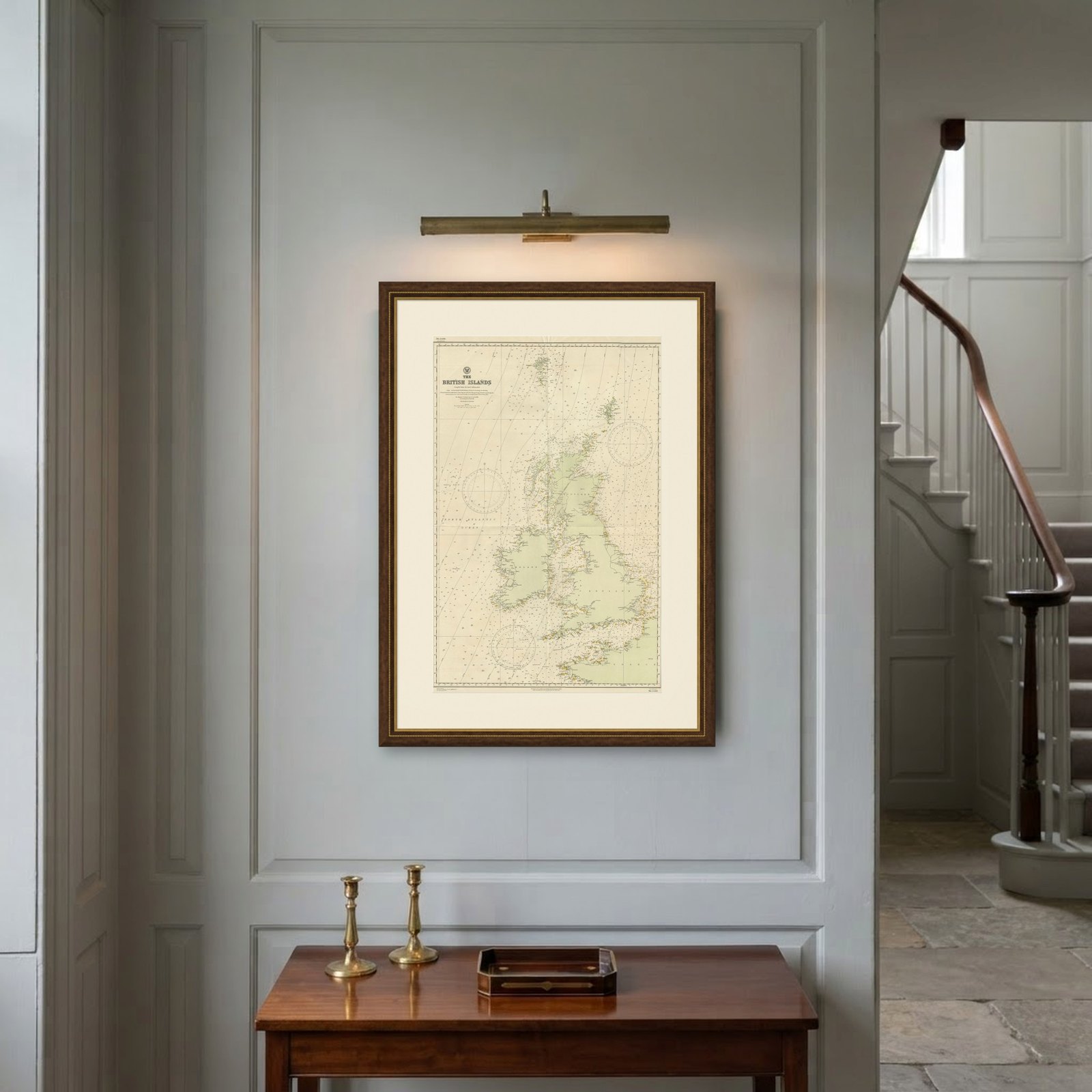
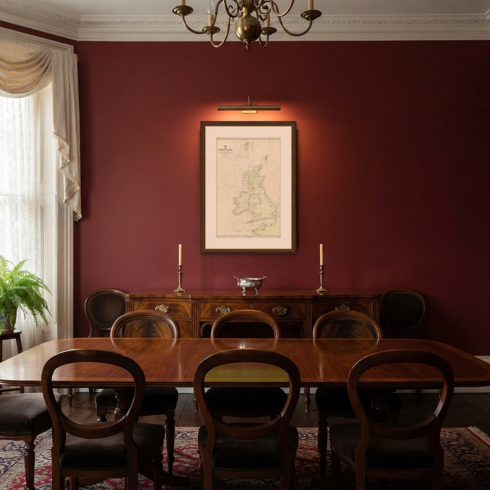
Frame and rooms are illustrations of how the piece could look; it is sold unframed unless the description says otherwise.
Large Sea Chart of the British Islands, 1918
£475
$625 · €560
Original print, not a reproduction.
Ships worldwide from the Netherlands, flat, insured and tracked. 14-day returns. To buy, use Ask a question and we will reserve it for you.
- Date
- 1918
- Sheet size
- 41.7 × 27.6 in (106 × 70 cm)
- Condition
- Very good, blank verso. Please study image carefully.
- Collection
- Sea charts
- Era
- 1850 and after, Steam and steel
- Stock no.
- f_27422202
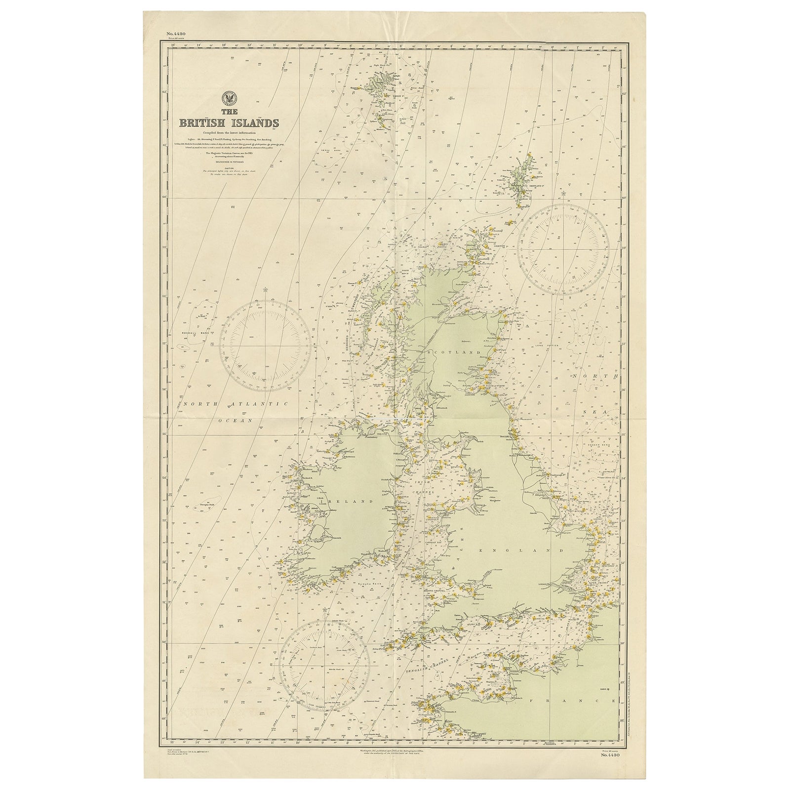
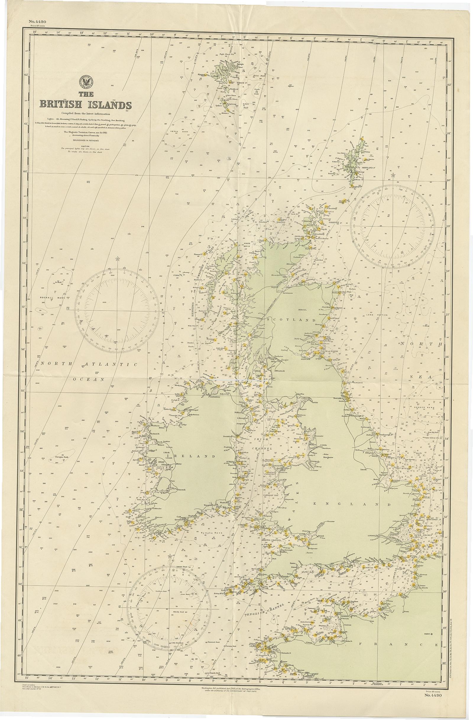
Antique map titled 'The British Islands'.
Large sea chart of the British Islands. It shows Ireland, Scotland, England, the Shetland Islands and part of France.
The antique sea chart titled 'The British Islands' is a significant cartographic work that provides a comprehensive depiction of the British Isles, including Ireland, Scotland, England, and the Shetland Islands, along with a portion of France. Published in 1918 by the Hydrographic Office, this corrected edition represents an important historical artifact from the early 20th century, reflecting the geographical knowledge and cartographic skills of the period.
Key aspects of this sea chart include:
Detailed Coastlines: The map showcases intricate details of the coastlines, inlets, bays, and capes, providing valuable information for navigation and understanding of the geographical layout of these regions.
Maritime Focus: Being a product of the Hydrographic Office, the chart is designed with a focus on maritime navigation, including details like sea routes, depth markings, and lighthouses or navigational aids relevant to sailors and shipping routes of the time.
Historical Context: The publication date of 1918 places this chart in a significant historical context, coming just after the end of World War I. This period was one of considerable change and development in geopolitical boundaries and maritime technology, which might be reflected in the corrections and updates made in this edition.
Cartographic Style: The map reflects the cartographic style of the early 20th century, with an emphasis on accuracy and clarity. It would have been an essential tool for both navigation and general education about the geography of the British Isles.
Inclusion of Part of France: The inclusion of a section of France in the chart is intriguing, as it suggests a broader geopolitical or navigational interest, possibly highlighting key channels and sea routes between the British Isles and the European mainland.
Artistic and Technical Merit: While primarily functional, these charts are often appreciated for their artistic quality, with careful attention to detail and a style that reflects the cartographic traditions of the era.
As an artifact, this sea chart not only serves as a navigational aid but also as a historical document, offering insights into the state of geographical knowledge and maritime practices of the early 20th century. Its publication by the Hydrographic Office, an authoritative source in maritime cartography, further underlines its significance as a reliable and detailed representation of the region's geography during that period.