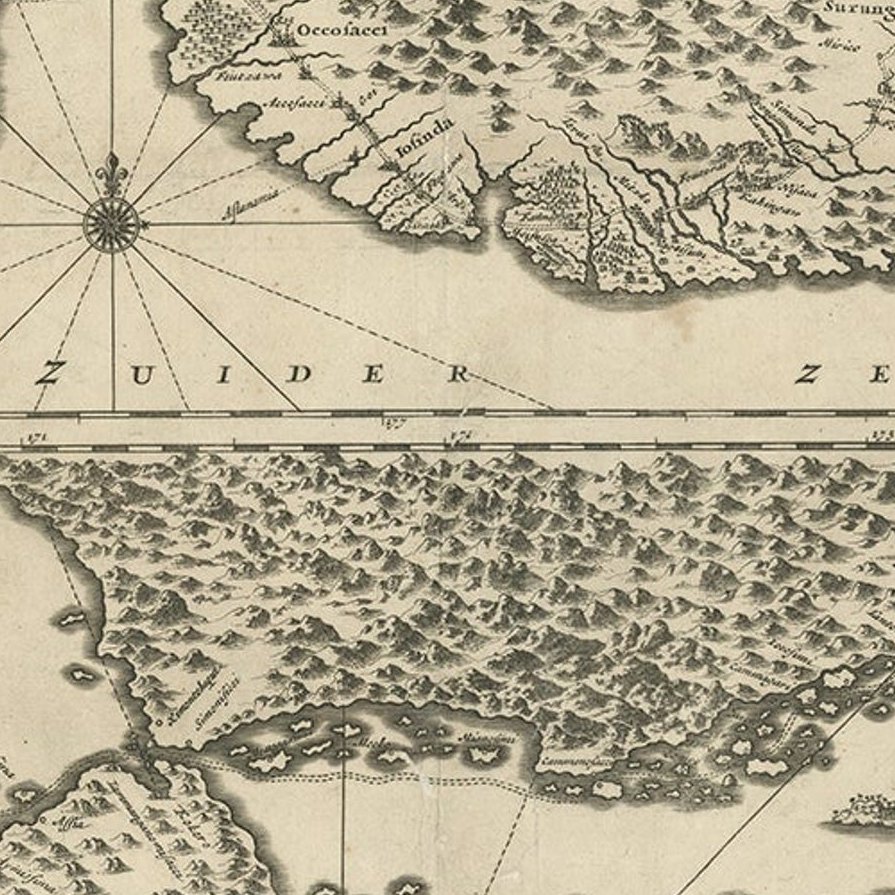
Close-ups
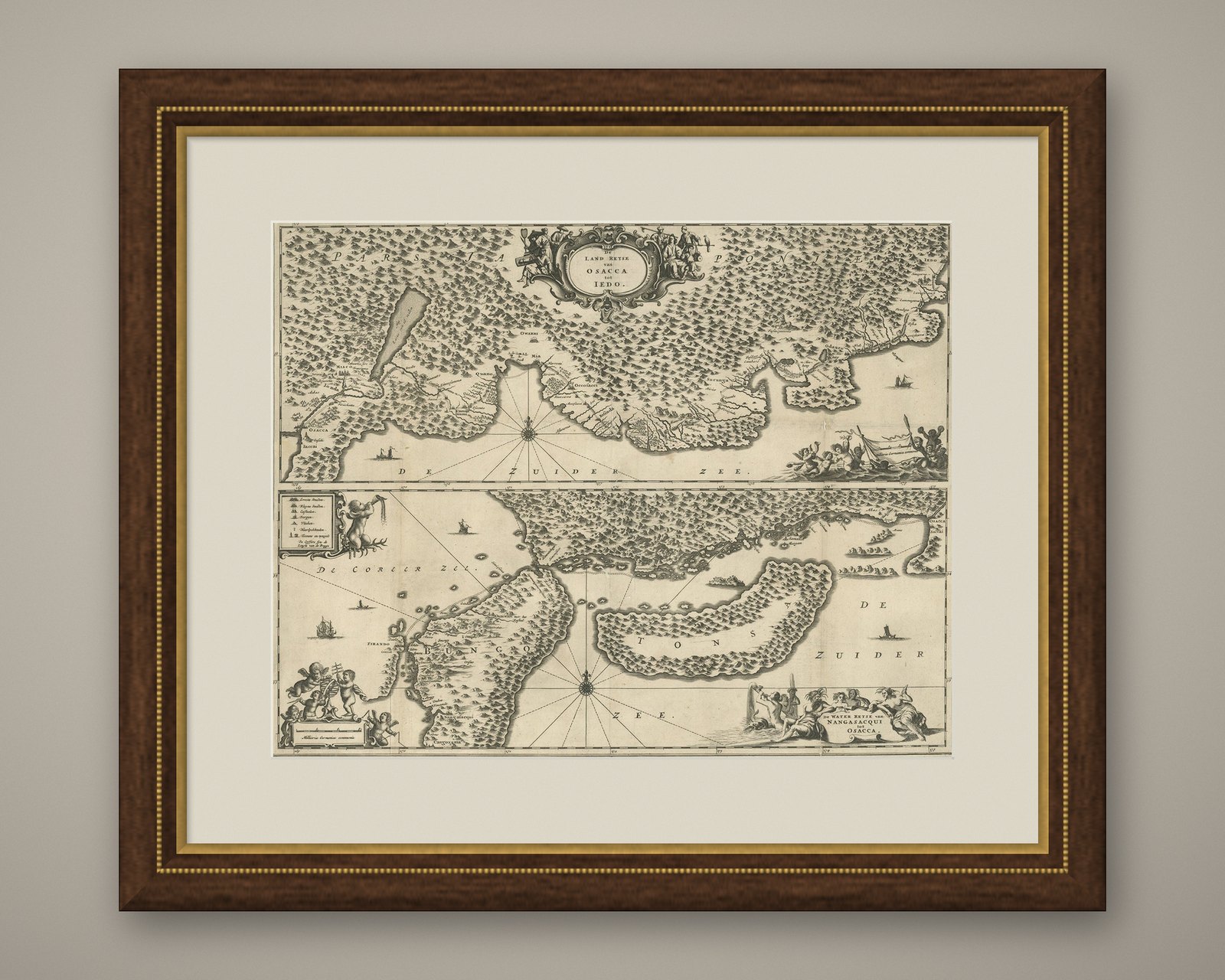
Framed and on the wall

Frame and rooms are illustrations of how the piece could look; it is sold unframed unless the description says otherwise.
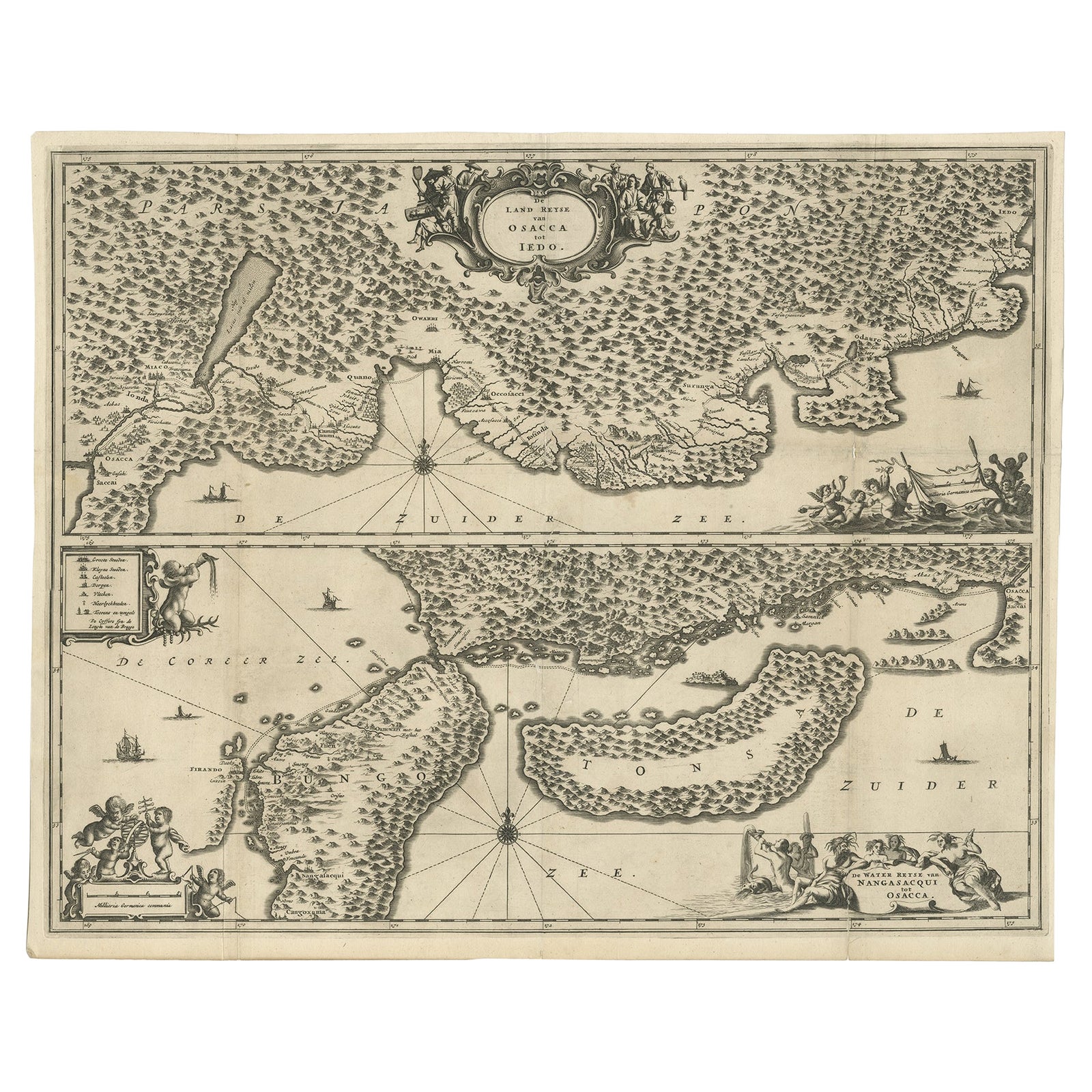
Map of Japanese Coast from Osaka to Tokyo & the Kyushu and Shikoku Islands, 1669
€1,450
$1,625 · £1,230
Original print, not a reproduction.
Ships worldwide from the Netherlands, flat, insured and tracked. 14-day returns. To buy, use Ask a question and we will reserve it for you.
- Date
- 1669
- Sheet size
- 17.9 × 21.7 in (45.5 × 55 cm)
- Condition
- Good. General age-related toning. Professionally restored on folding lines, please study image carefully.
- Collection
- Sea charts
- Era
- Before 1700, Dutch Golden Age
- Stock no.
- f_26733442
Antique map titled 'De Land Reyse van Osacca to Iedo. De Water eyse van Nangasacqui tot Osacca.'
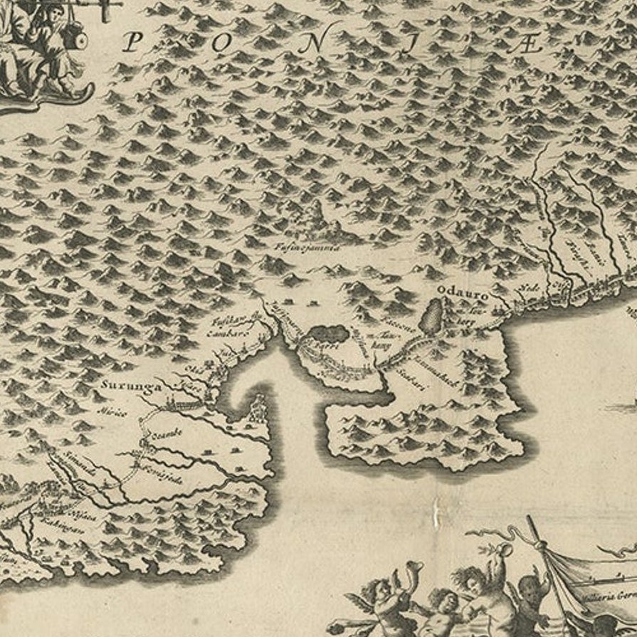
Two maps on one sheet. The top map shows the Japanese coast from Osaka to Tokyo (Jedo). The lower map shows the strait between mainland Japan and the two large islands (Kyushu and Shikoku) to the south. This stretches from Osaka to Nagasaki. Originates from 'Gedenkwaerdige Gesantschappen der Oost-Indische Maatschappy in 't Vereenigde Nederland aan de Kaisaren van Japan (..)' by A. Montanus.
Artists and Engravers: Arnoldus Montanus (c.1625–1683) was a Dutch teacher and author. He published books on theology, history, and geography.
Condition: Good, general age-related toning. Professionally restored on folding lines, please study image carefully.
EXPLORE