Close-ups
Framed and on the wall
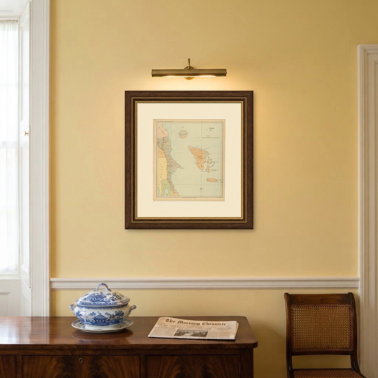

Frame and rooms are illustrations of how the piece could look; it is sold unframed unless the description says otherwise.
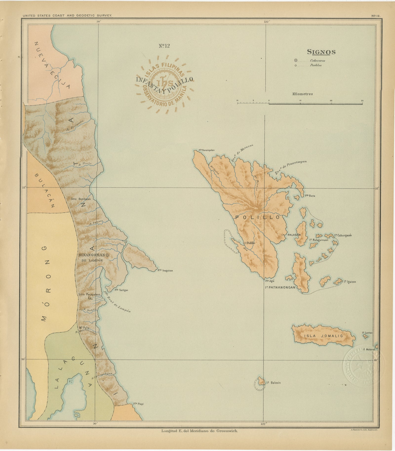
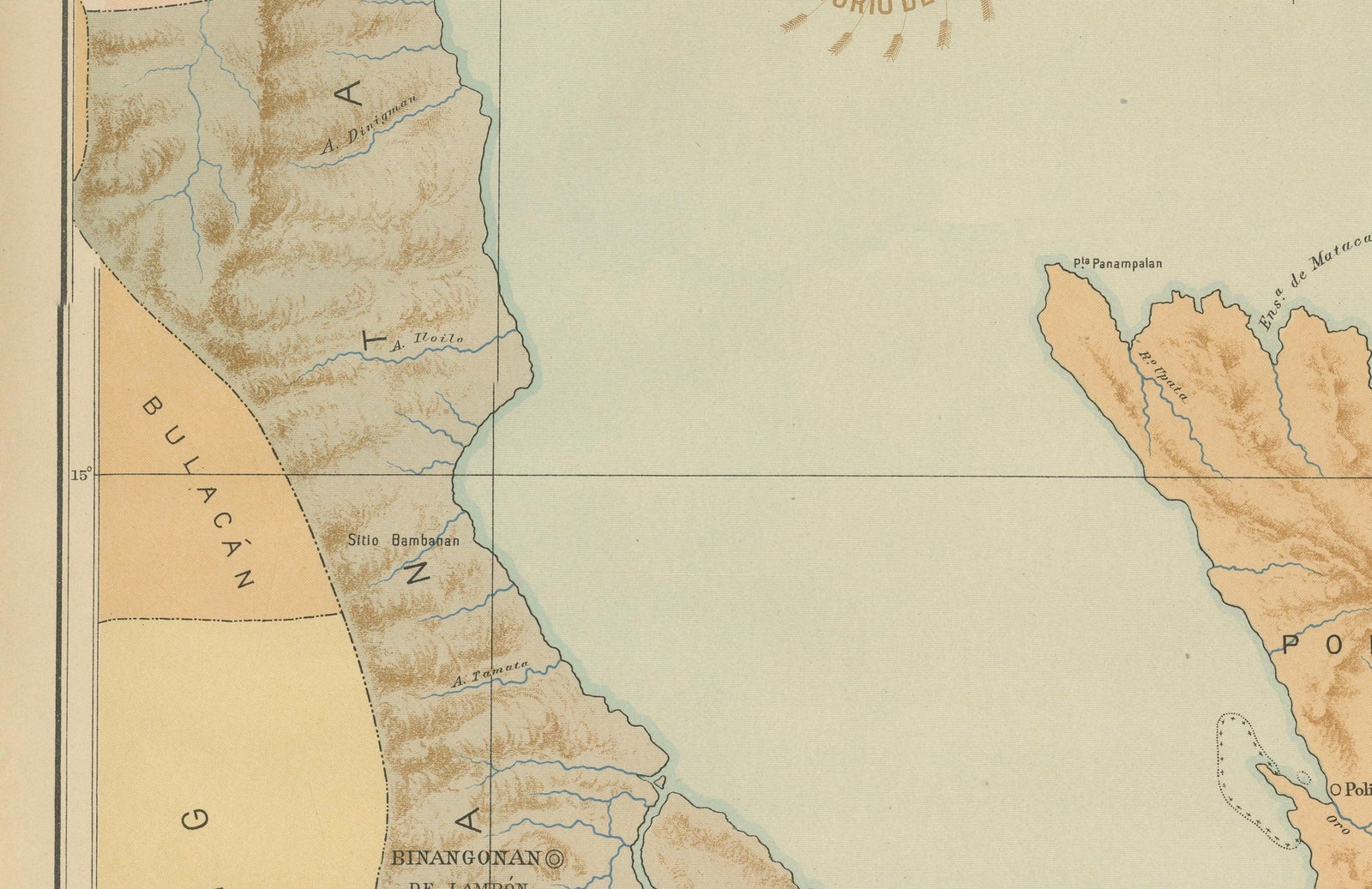
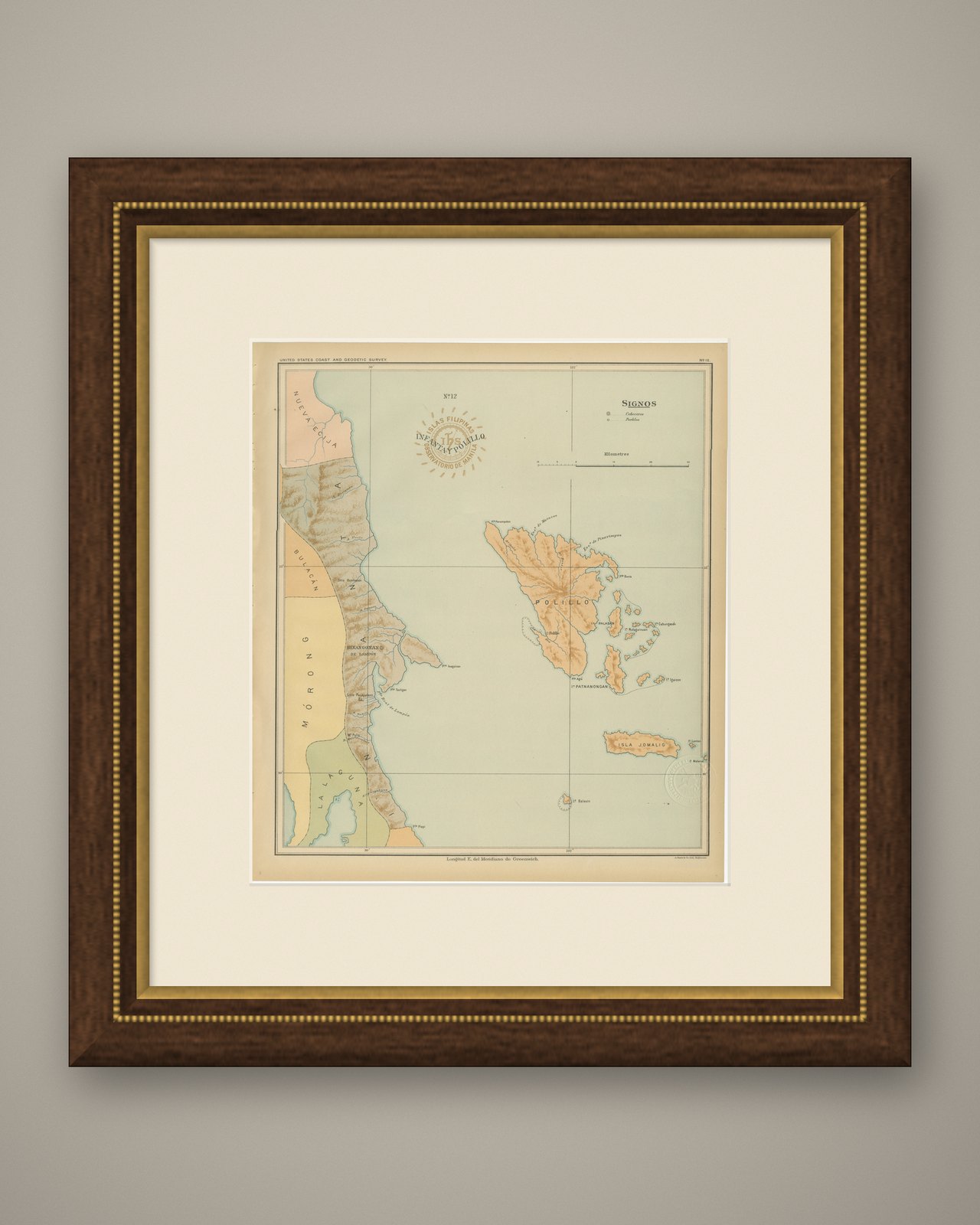
Map of Polillo Islands and Eastern Luzon Coast, Observatorio de Manila, 1899
£205
$270 · €240
Original print, not a reproduction.
Ships worldwide from the Netherlands, flat, insured and tracked. 14-day returns. To buy, use Ask a question and we will reserve it for you.
- Date
- 1899
- Sheet size
- 14.6 × 12.8 in (37 × 32.5 cm)
- Condition
- Excellent. With crisp original color and minimal age toning. Both embossed and inked institutional seals are clearly visible and well-preserved.
- Collection
- Sea charts
- Era
- 1850 and after, Steam and steel
- Stock no.
- f_46958162
Map of Polillo Islands and Eastern Luzon Coast, Observatorio de Manila, 1899
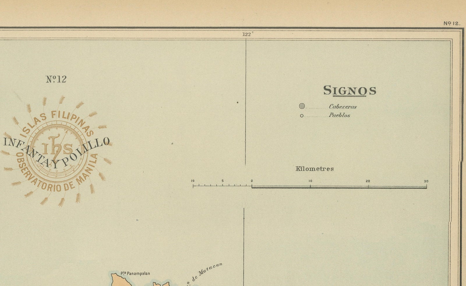
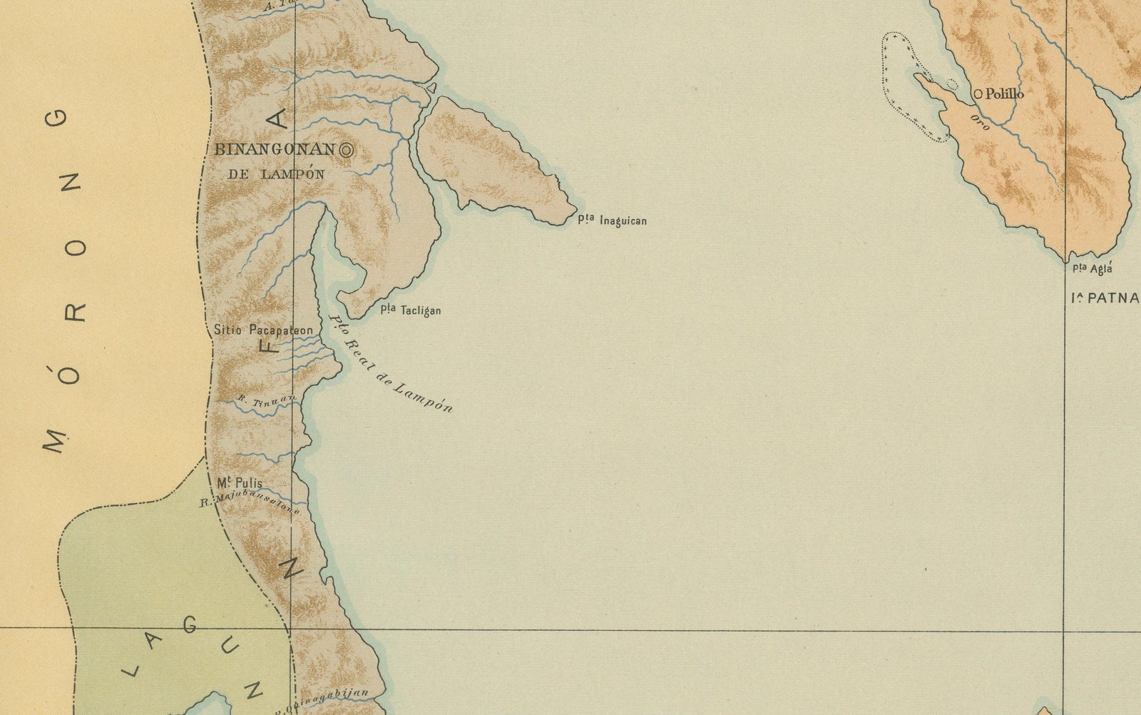
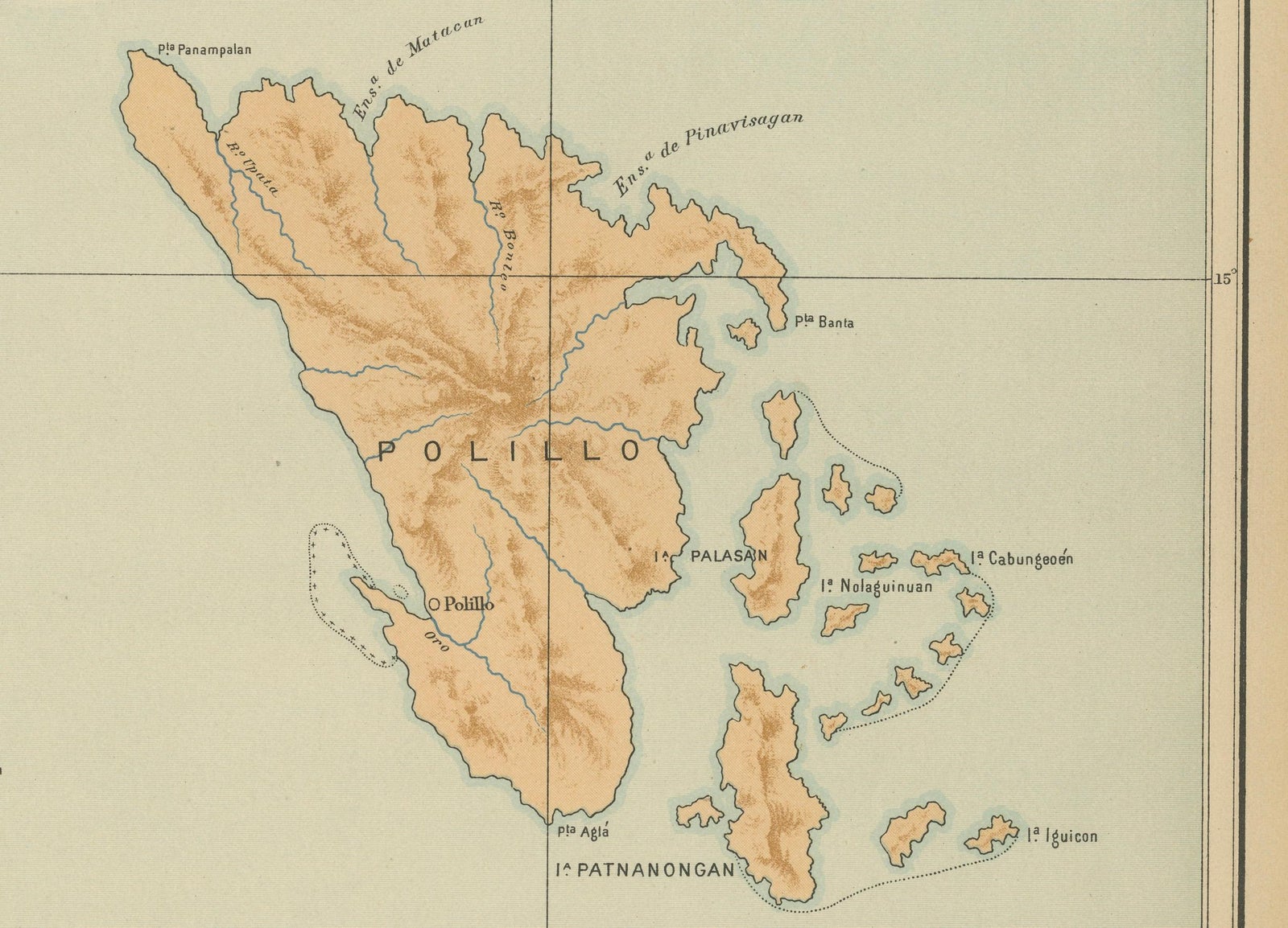
This chromolithographed map titled “Islas Filipinas, Infanta y Polillo” was created in 1899 under the supervision of Rev. José Algué, S.J., Director of the Observatorio de Manila, and published as Plate No. 12 from the Atlas de Filipinas. It offers a precise and elegantly composed depiction of the eastern coast of Luzon, including the coastal towns of Infanta and Binangonan de Lampon, and the island group of Polillo and Jomalig off the Pacific shore.
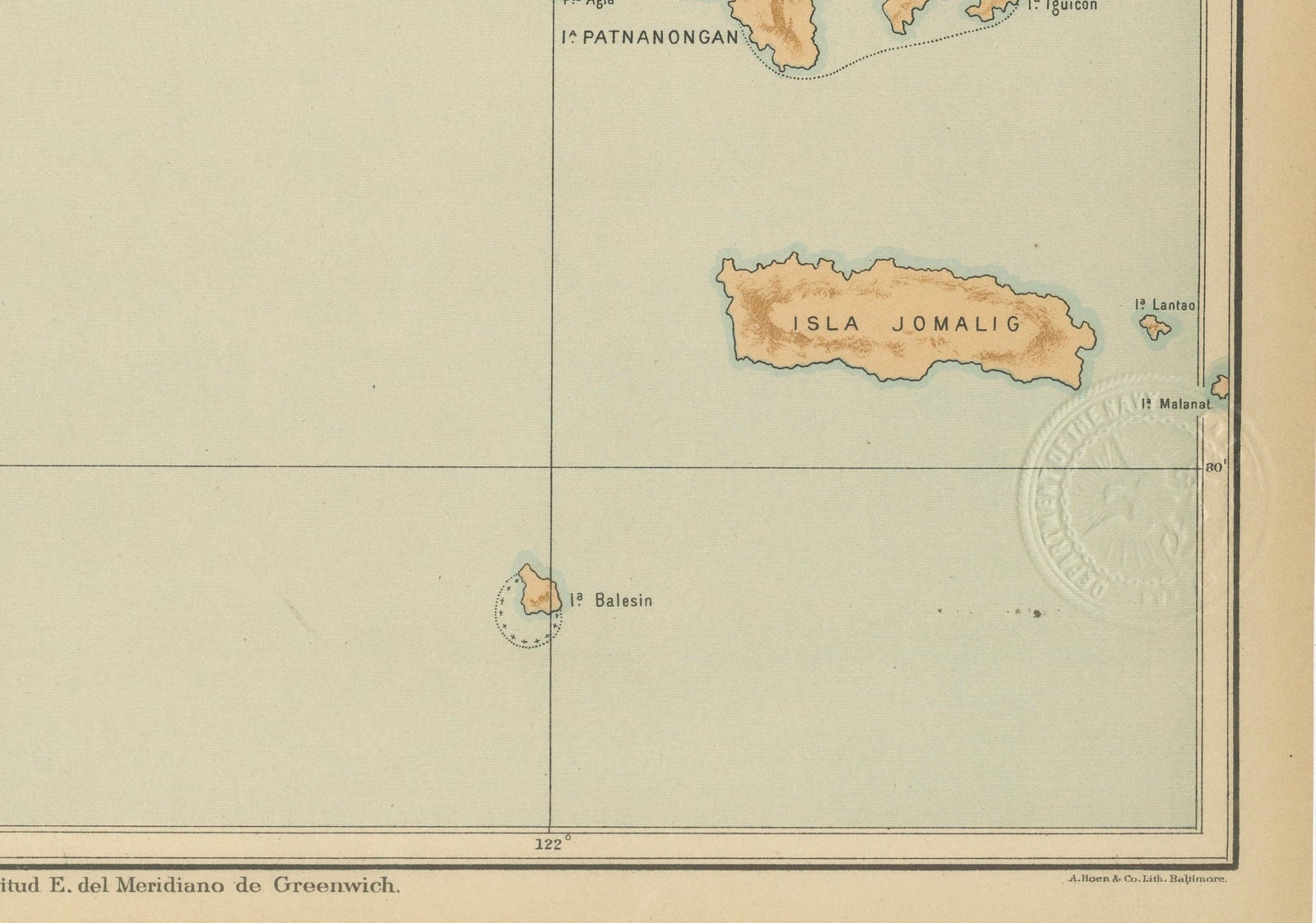
The map captures the rugged terrain of the Luzon coastline, rendered in warm brown topographic shading that contrasts with the pale blue-green waters of the Pacific. The Polillo Islands are presented with careful attention to hydrographic features, bays, points, and capes are labeled in detail, along with settlements such as Polillo, Balesin, and Patnanongan. To the west, the provinces of Nueva Ecija, Bulacan, and Morong (now Rizal) are delineated, offering a striking geographical juxtaposition between the interior mountain ranges and the coastal lowlands.
The legend (“Signos”) in the upper right corner denotes the cartographic symbols for *cabeceras* (provincial capitals) and *pueblos* (towns). The red circular stamp of the “Observatorio de Manila” and the embossed seal of the “U.S. Coast and Geodetic Survey” authenticate its inclusion in the American edition of the atlas, printed in 1900 by the U.S. Government Printing Office in Washington.
This plate reflects the Jesuit Observatory’s meticulous surveying tradition, combining scientific accuracy with refined chromolithographic artistry. It stands as an invaluable geographic record of the eastern seaboard of Luzon and the remote island communities of the Philippine archipelago at the close of the 19th century.
Condition: Excellent, with crisp original color and minimal age toning. Both embossed and inked institutional seals are clearly visible and well-preserved.
Framing tips: Best presented in a natural oak or dark maple frame with a pale blue or cream mat to emphasize the delicate maritime palette.
Technique: Chromolithograph on paper
Maker: Rev. José Algué, S.J., Observatorio de Manila, 1899
EXPLORE