Close-ups
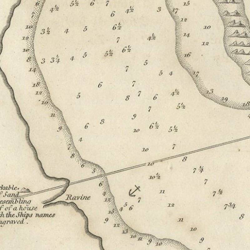
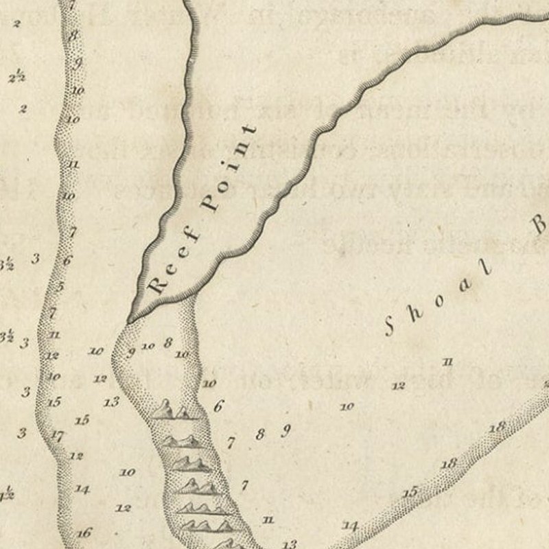
Framed and on the wall
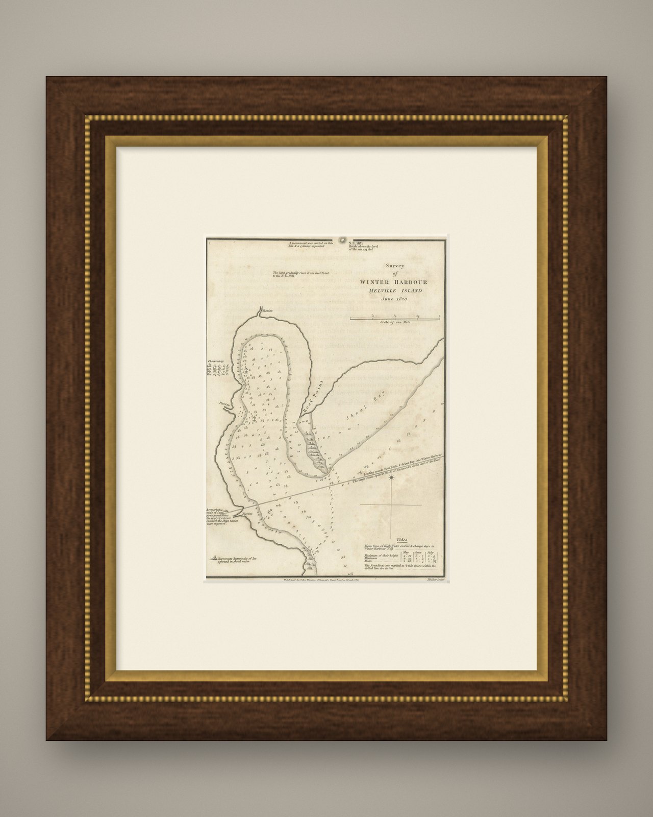
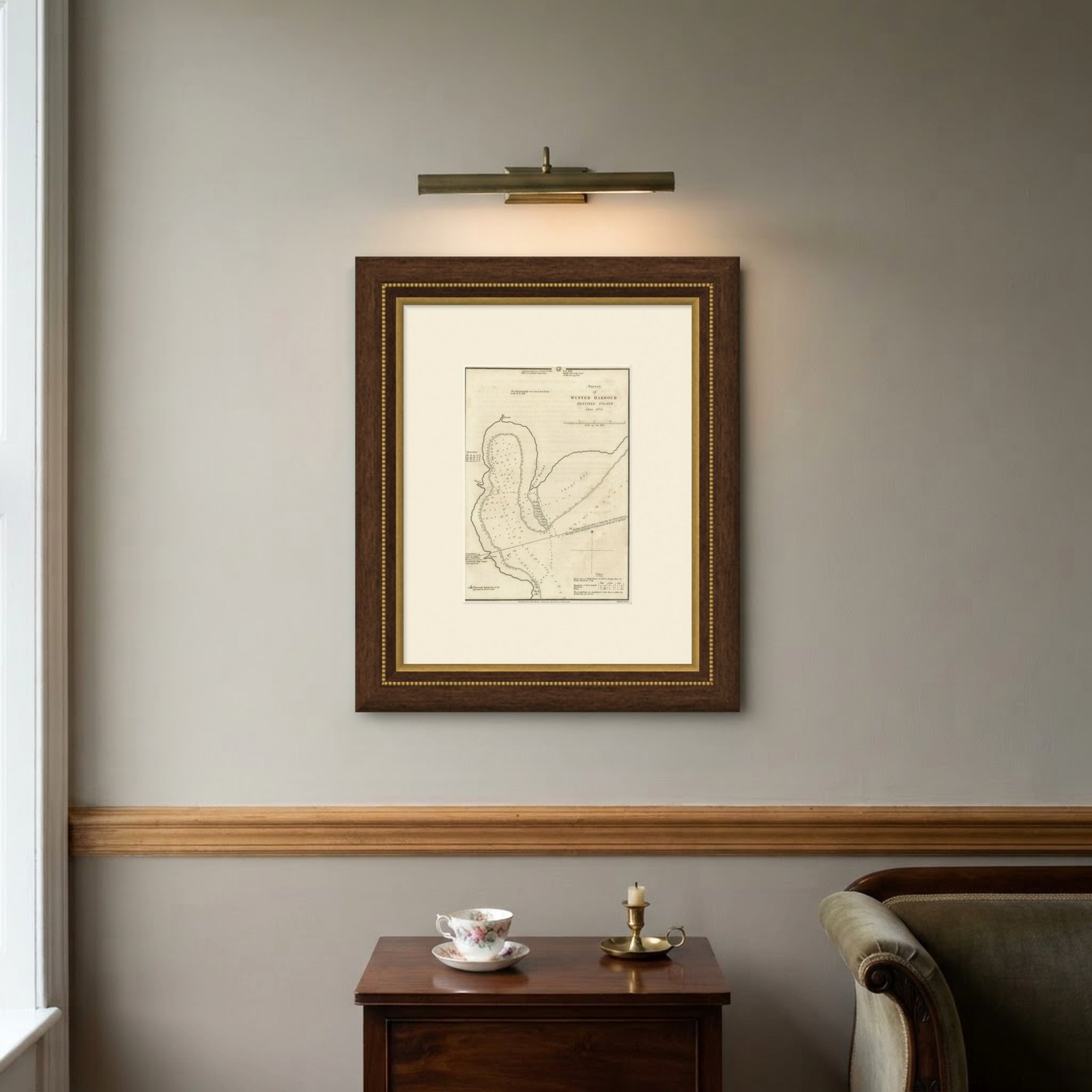
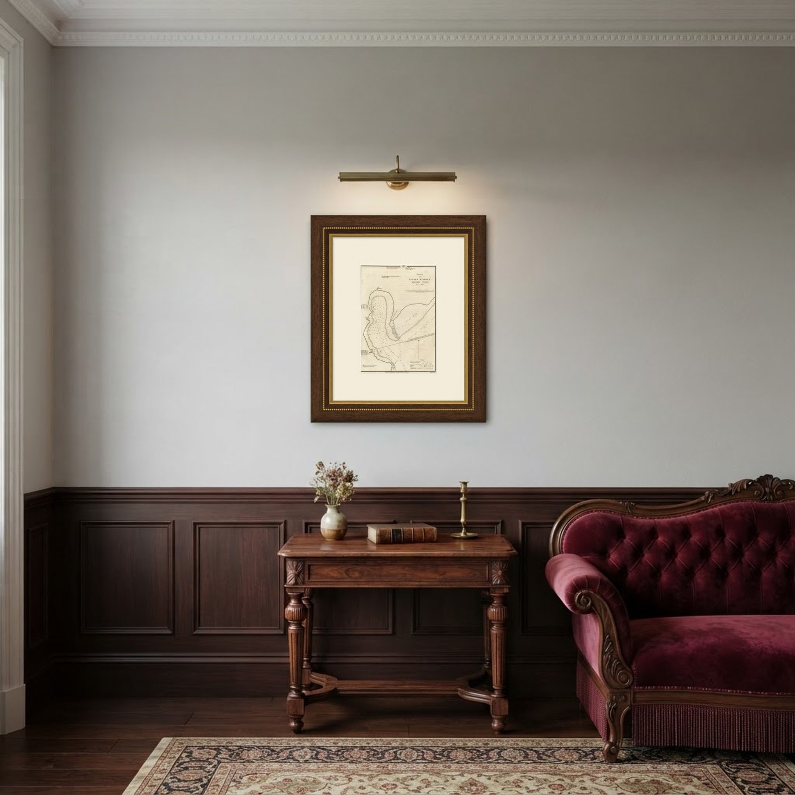
Frame and rooms are illustrations of how the piece could look; it is sold unframed unless the description says otherwise.
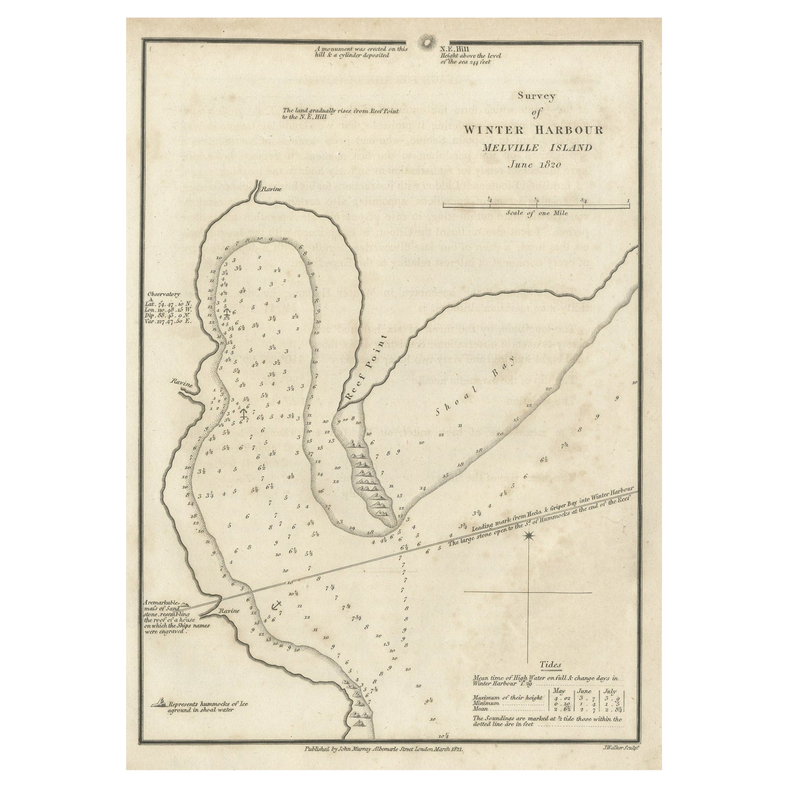
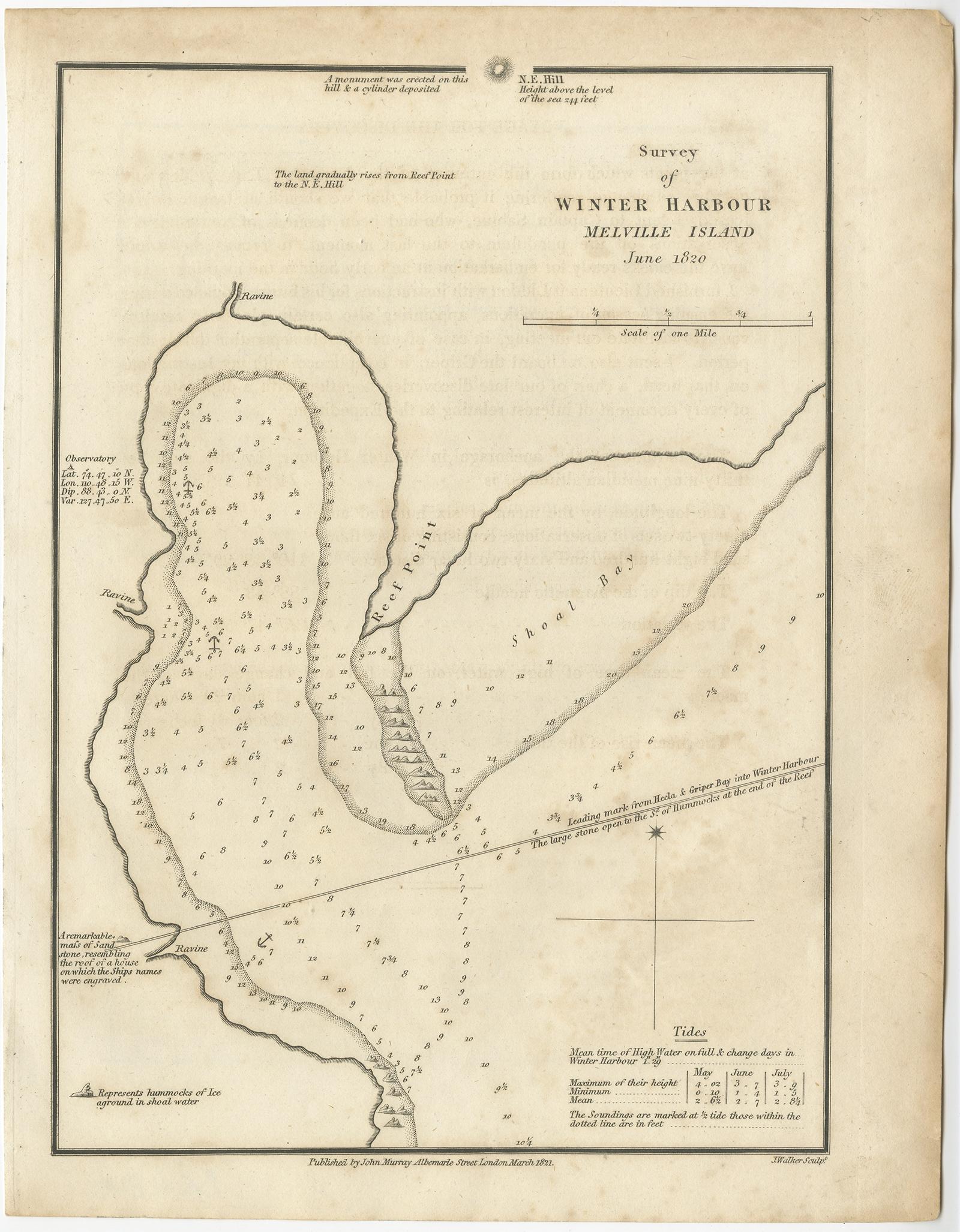
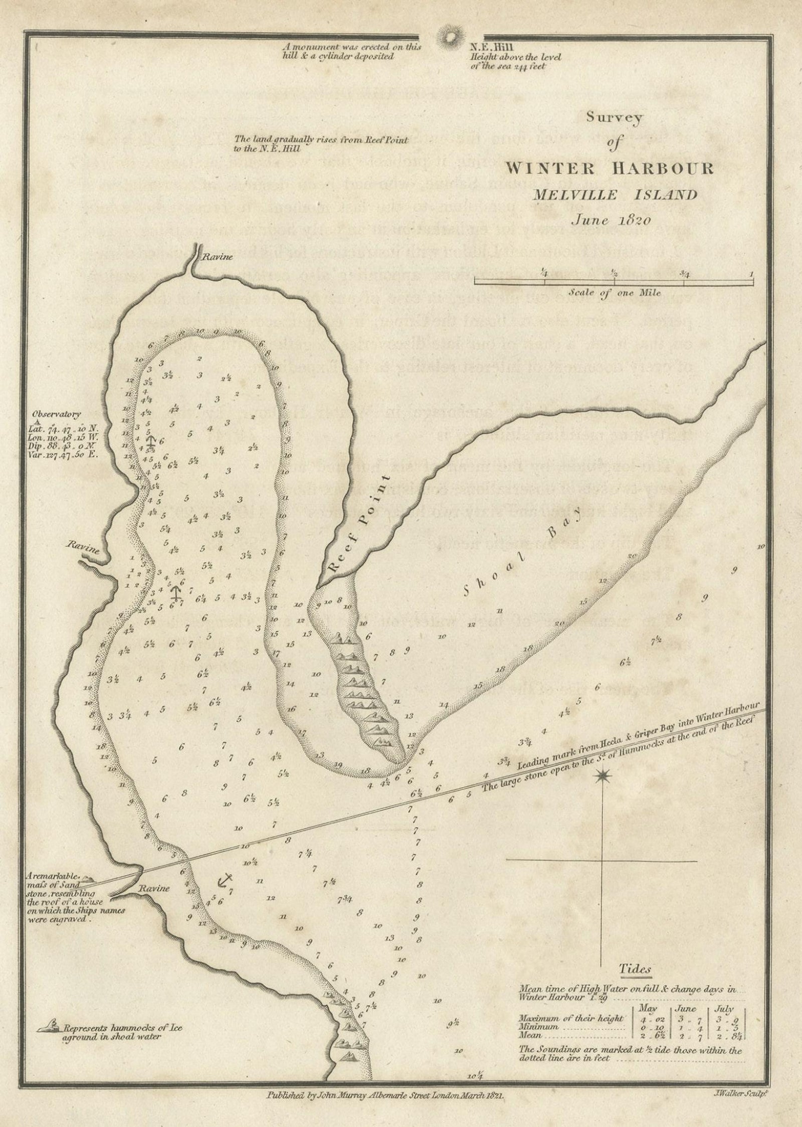
Map of Winter Harbour on Melville Island, Australia by Parry's Expedition, 1821
£220
$290 · €260
Original print, not a reproduction.
Ships worldwide from the Netherlands, flat, insured and tracked. 14-day returns.
- Date
- 1821
- Sheet size
- 10.6 × 8.3 in (26.9 × 21 cm)
- Condition
- Good. Good, general age-related toning and minor foxing. Please study image carefully.
- Collection
- Voyages of discovery
- Era
- 1790 to 1849, Age of sail
- Stock no.
- f_26777032
Antique print titled 'Survey of Winter Harbour Melville Island, June 1820'.
Chart of the bay or harbor on Melville Island where William Parry's expedition spent the winter of 1819-20. This print orginates from 'Journal of a voyage for the discovery of a north-west passage from the Atlantic to the Pacific (..)'.
Artists and Engravers: Published by John Murray, London.
Condition:
Good, general age-related toning and minor foxing. Please study image carefully.