Close-ups
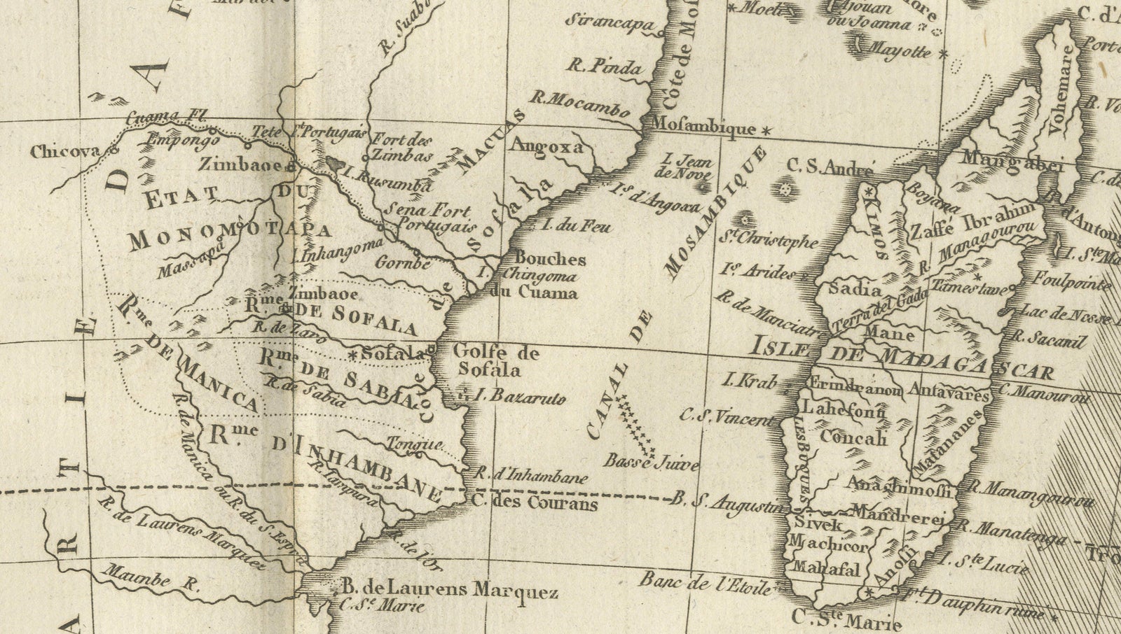
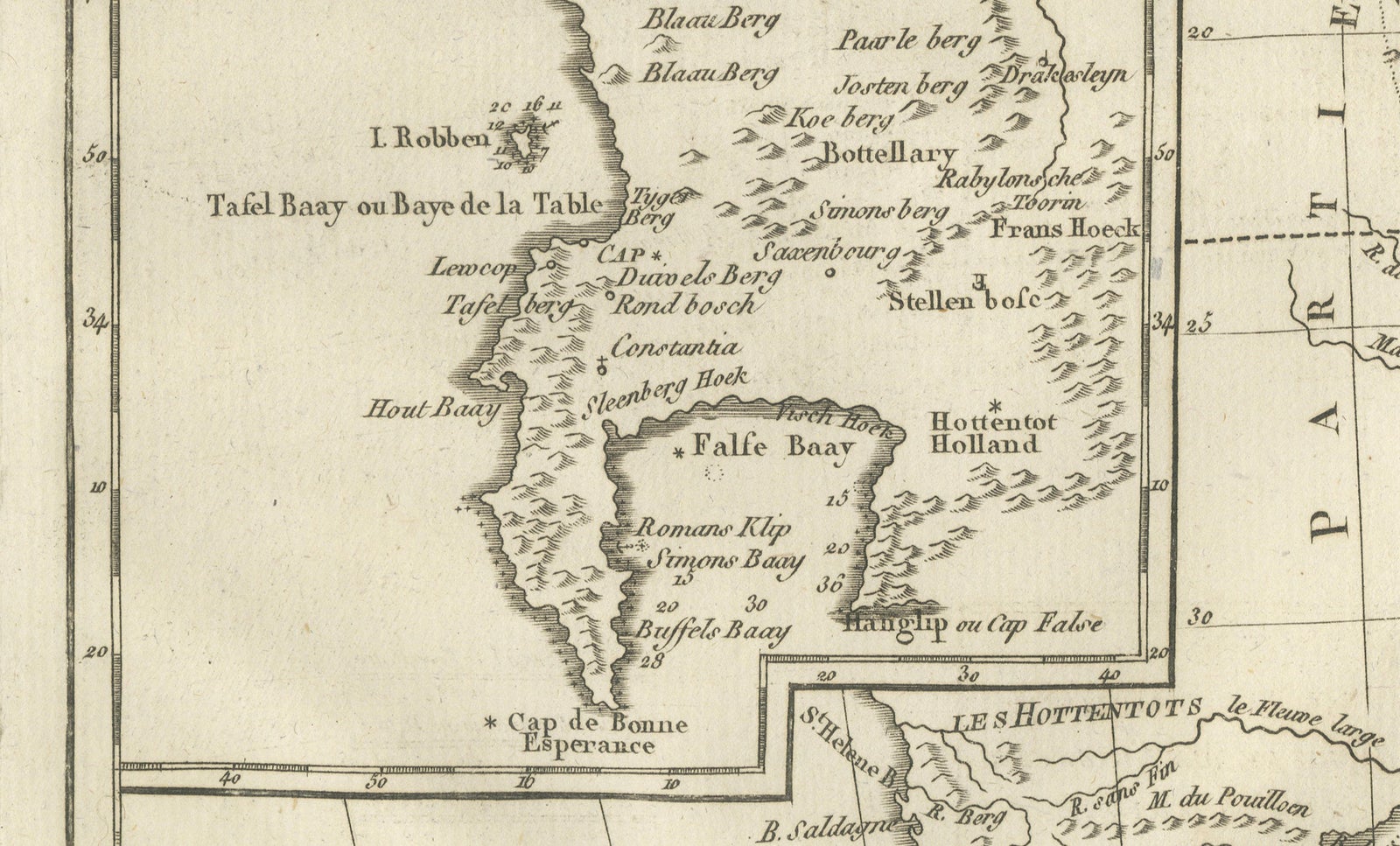
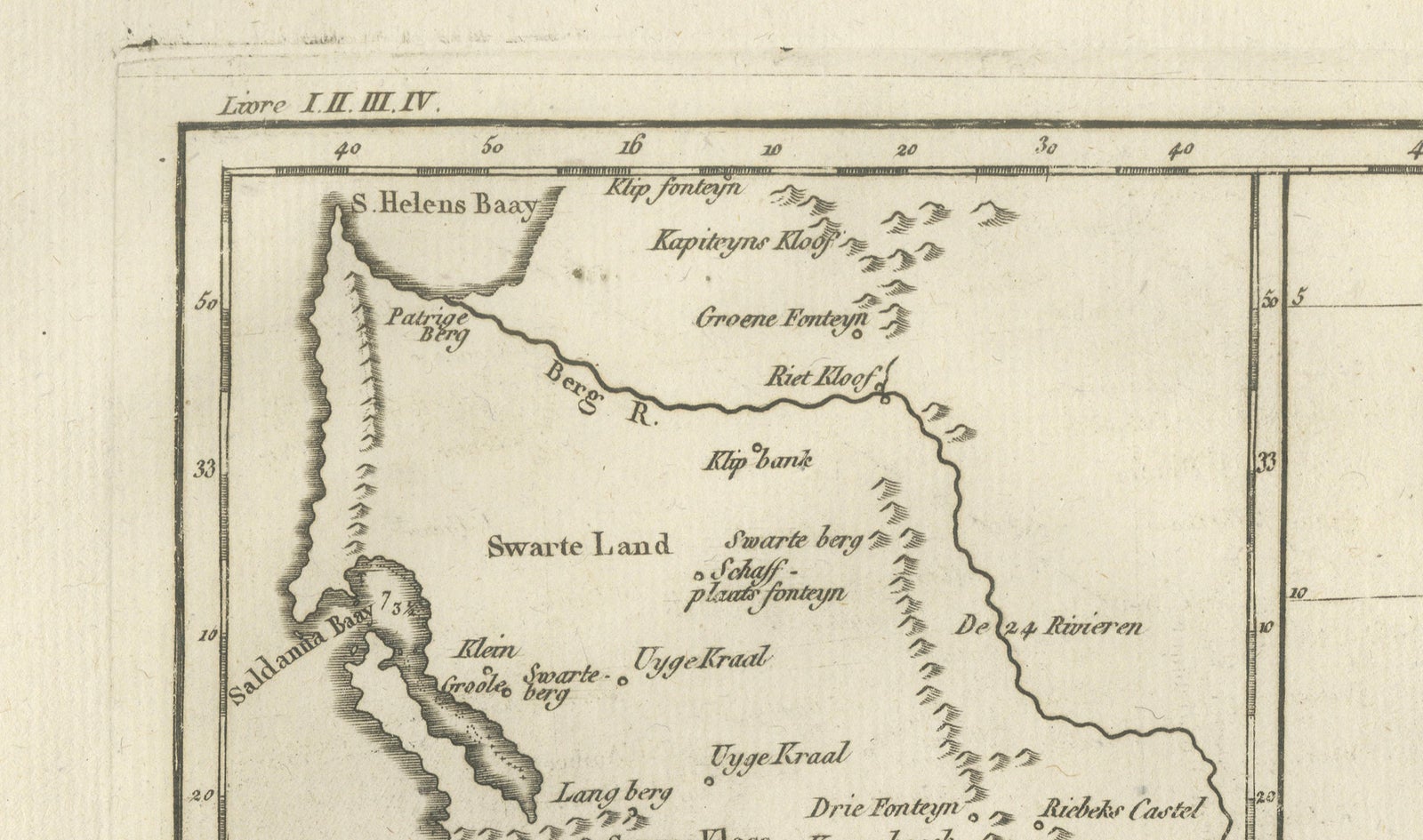
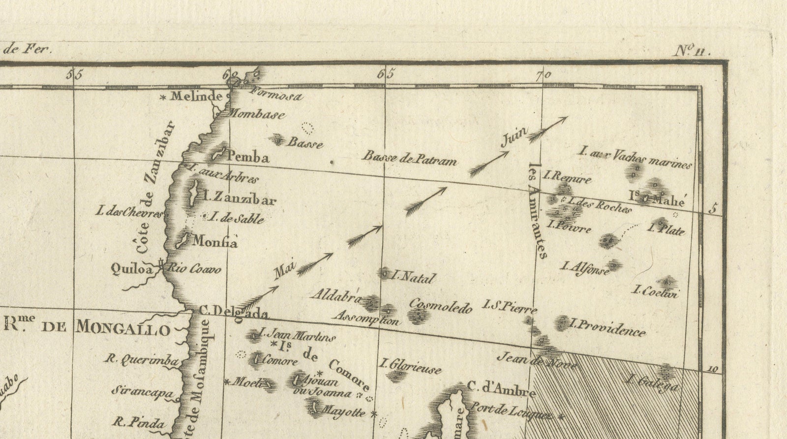
Framed and on the wall
Frame and rooms are illustrations of how the piece could look; it is sold unframed unless the description says otherwise.
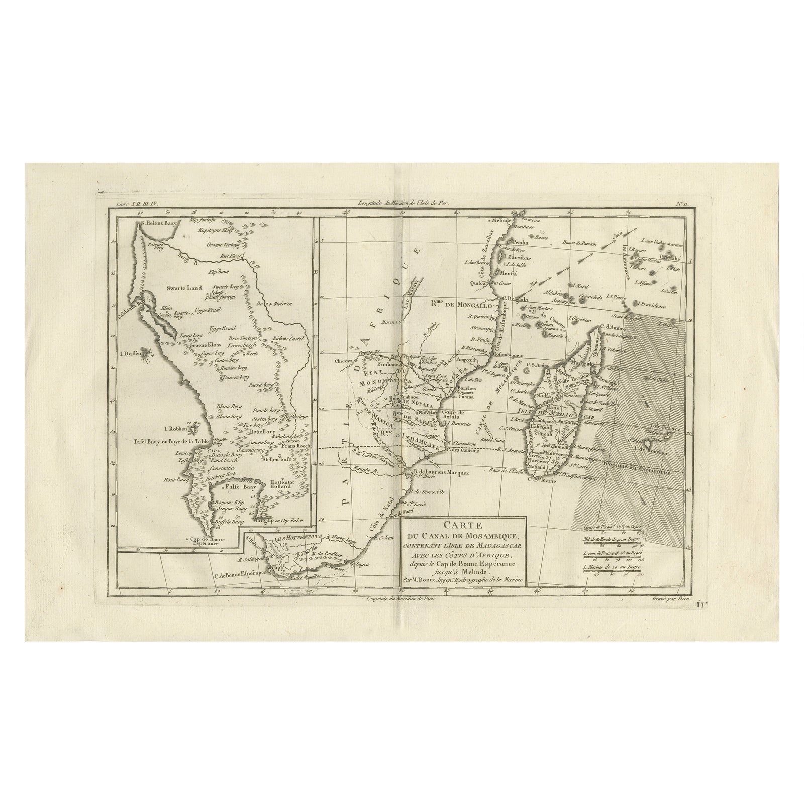
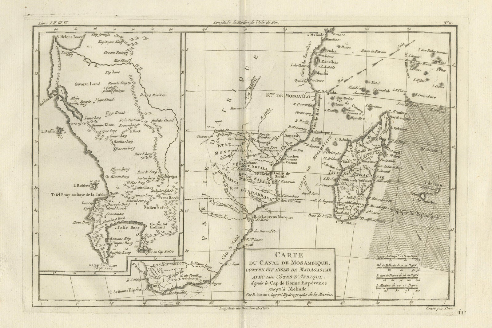
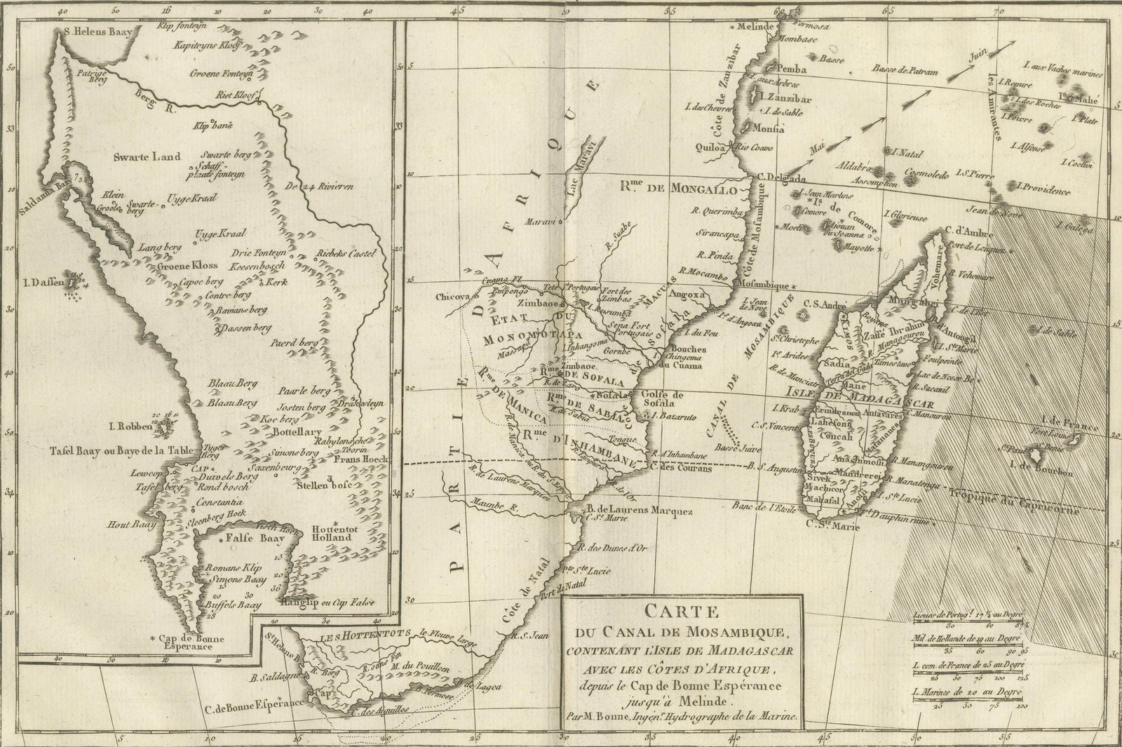
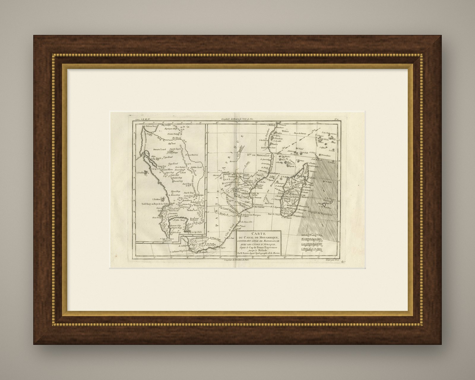
Mozambique Channel & Madagascar, Antique African Sea Chart, Bonne c1780
£270
$360 · €320
Original print, not a reproduction.
Ships worldwide from the Netherlands, flat, insured and tracked. 14-day returns. To buy, use Ask a question and we will reserve it for you.
- Date
- 1780
- Sheet size
- 10.2 × 16.1 in (26 × 41 cm)
- Condition
- Good. Good antique condition. Light age toning, original centerfold as issued, minor surface wear at margins. The map is offered unframed, preserving the sheet in its original, untouched state.
- Collection
- Sea charts
- Era
- 1700 to 1789, Age of discovery
- Stock no.
- f_48264152
Mozambique Channel & Madagascar, Antique African Sea Chart, Bonne c1780
Description:
This finely engraved late-18th-century sea chart depicts the Mozambique Channel with Madagascar and the southeastern coast of Africa, extending from the Cape of Good Hope northward toward Melinde. Executed by Rigobert Bonne, hydrographer to the French Navy, the map reflects Enlightenment-era maritime knowledge and European naval interest in East African trade routes. Coastal profiles, soundings, island groups, and prevailing currents are carefully delineated, emphasizing navigation rather than inland detail. Madagascar is shown prominently with early European place names, while the African coast illustrates ports, rivers, and anchorages vital to Indian Ocean commerce. The restrained, elegant engraving and balanced composition make this an excellent example of French nautical cartography from the period, equally suitable for collectors of African maps or refined interior display.
Condition:
Good antique condition. Light age toning, original centerfold as issued, minor surface wear at margins. The map is offered unframed, preserving the sheet in its original, untouched state.
Framing tips:
Pairs well with a dark walnut or ebonized frame and a wide warm-white mat to emphasize the horizontal format.
Keywords:
Mozambique Channel, Madagascar map, East Africa map, Indian Ocean chart, antique sea chart, African coast map, 18th century cartography, French naval map, Rigobert Bonne, maritime engraving
Technique: Copper engraving
Maker: Rigobert Bonne, France, circa 1780