Close-ups
Framed and on the wall
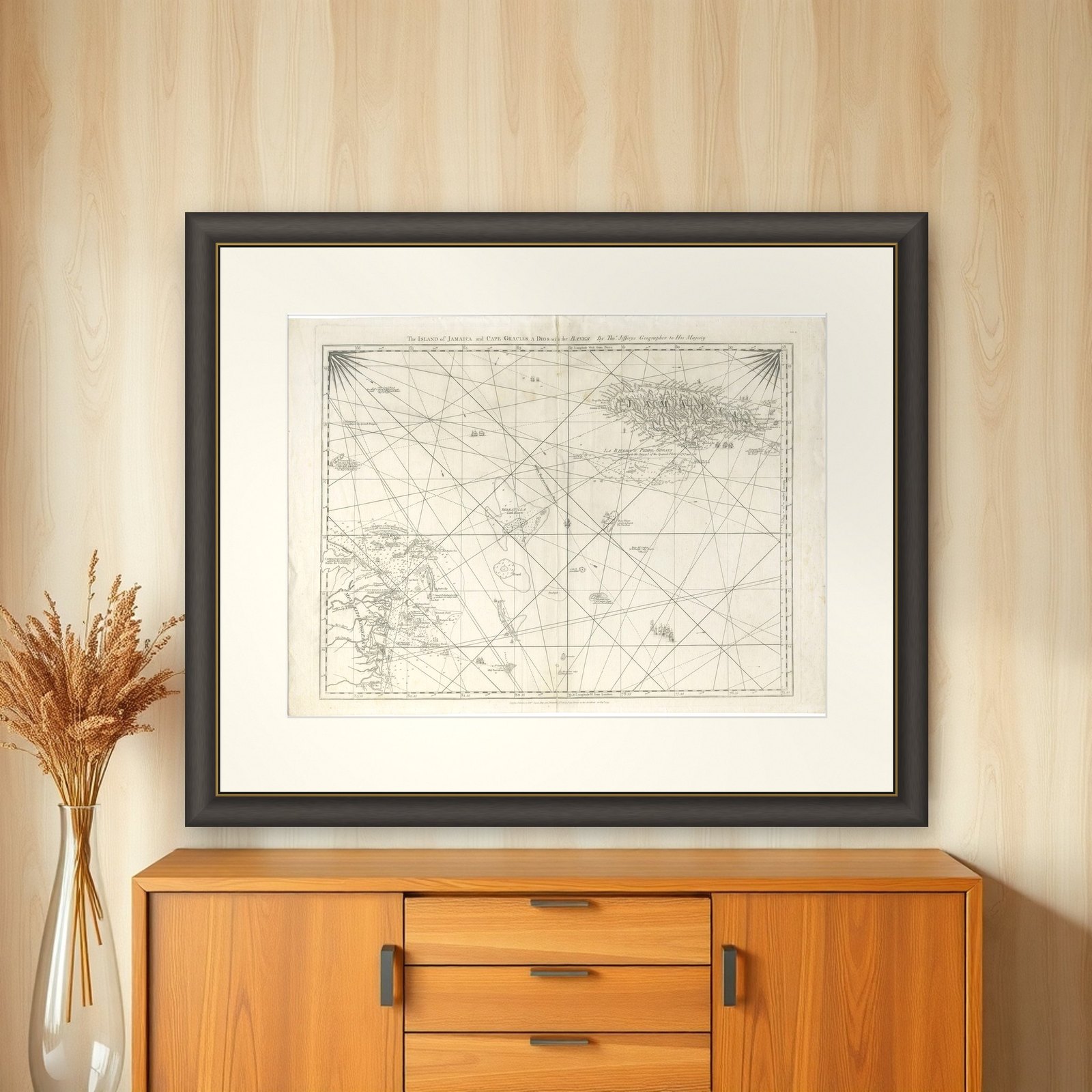

Frame and rooms are illustrations of how the piece could look; it is sold unframed unless the description says otherwise.
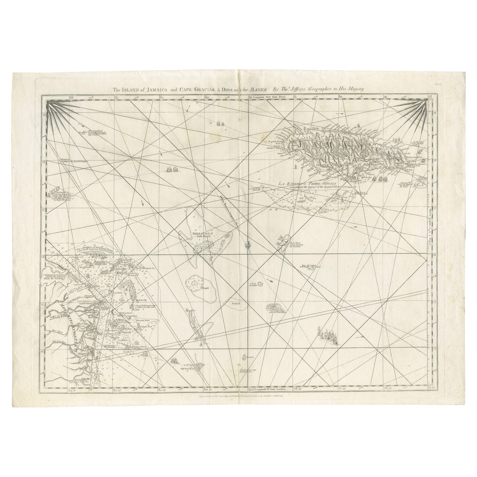
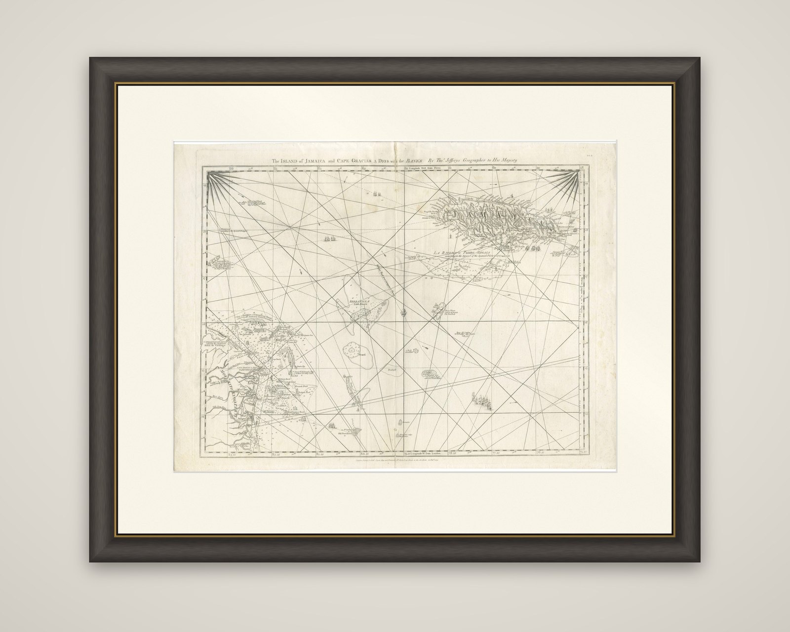
Navigational Chart of Jamaica, Cape Gracias a Dios, and the Mosquito Coast, 1775
€1,200
$1,345 · £1,015
Original print, not a reproduction.
Ships worldwide from the Netherlands, flat, insured and tracked. 14-day returns. To buy, use Ask a question and we will reserve it for you.
- Date
- 1775
- Sheet size
- 20.9 × 28 in (53 × 71 cm)
- Condition
- Good. Repaired: repairs of the folding line on the reverse with tape. Good condition, given age. Fold as published. General age-related creasing and toning and/or occasional minor defects from handling. One tiny pinhole in top left corner. Please study image carefully.
- Collection
- Sea charts
- Era
- 1700 to 1789, Age of discovery
- Stock no.
- f_40350832
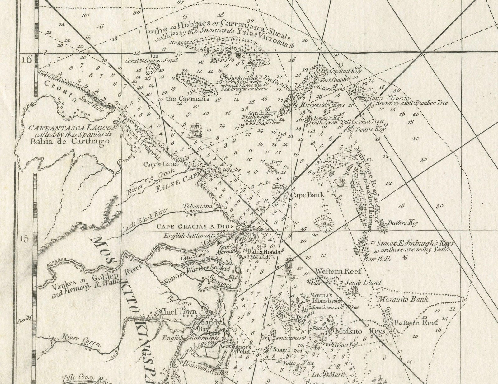
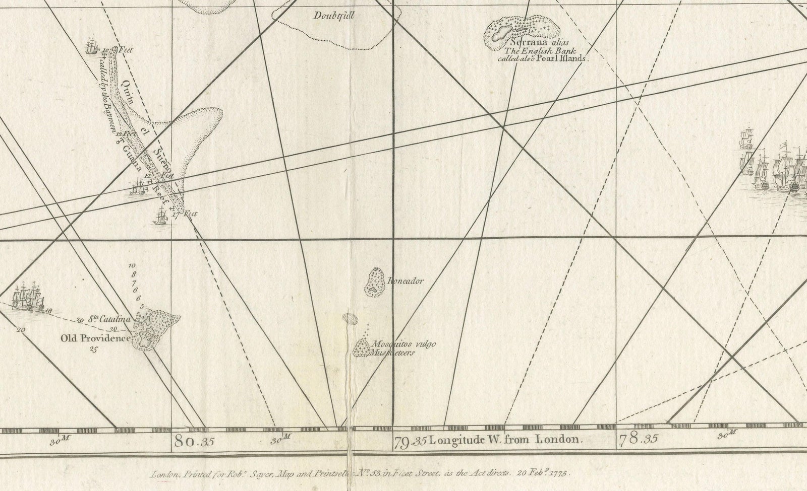
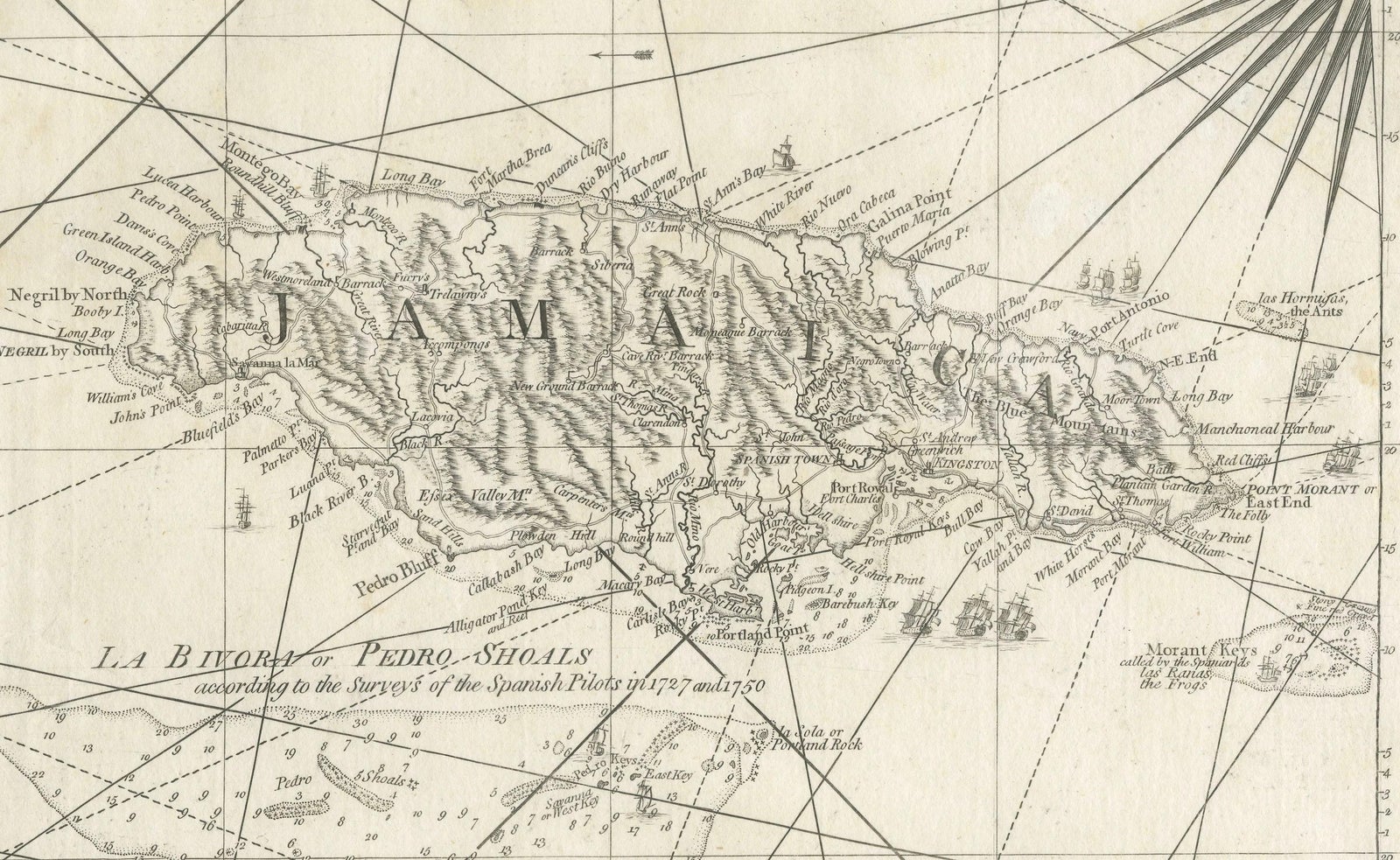
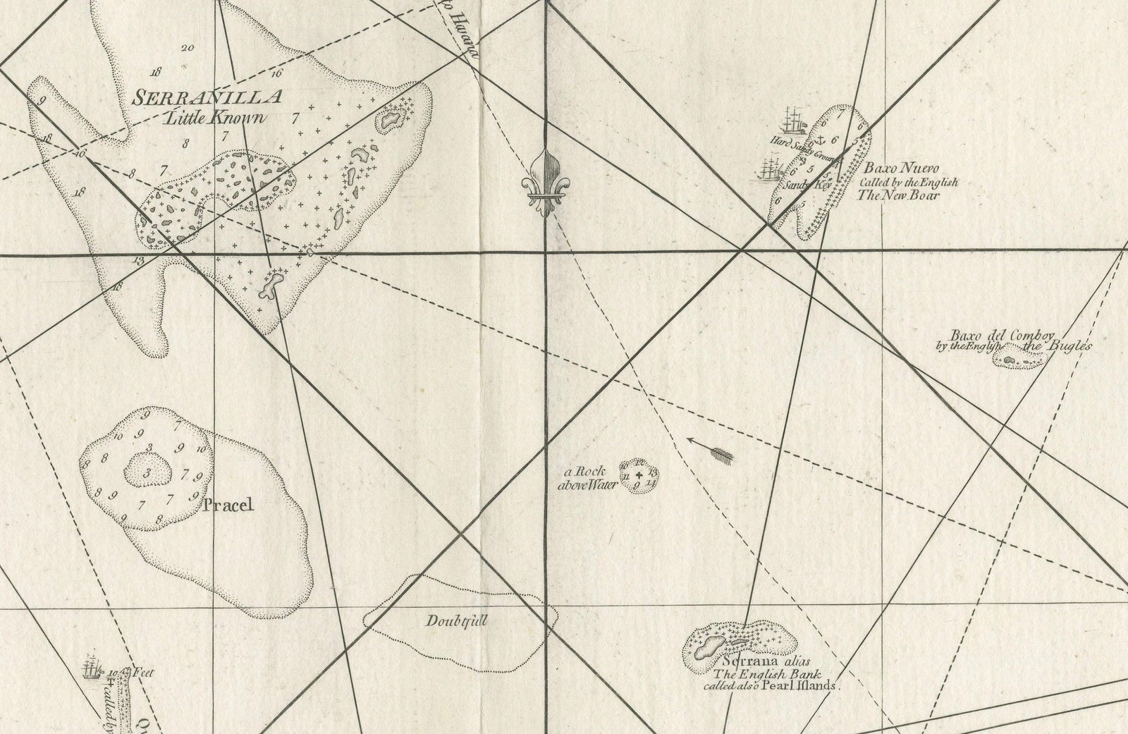
The Caribbean Sea west of Jamaica, an original copper-engraved chart by Thomas Jefferys, Geographer to the King, dated 1775. The sheet is titled "The Island of Jamaica and Cape Gracias a Dios with the Banks" and is printed in black on a large sheet.
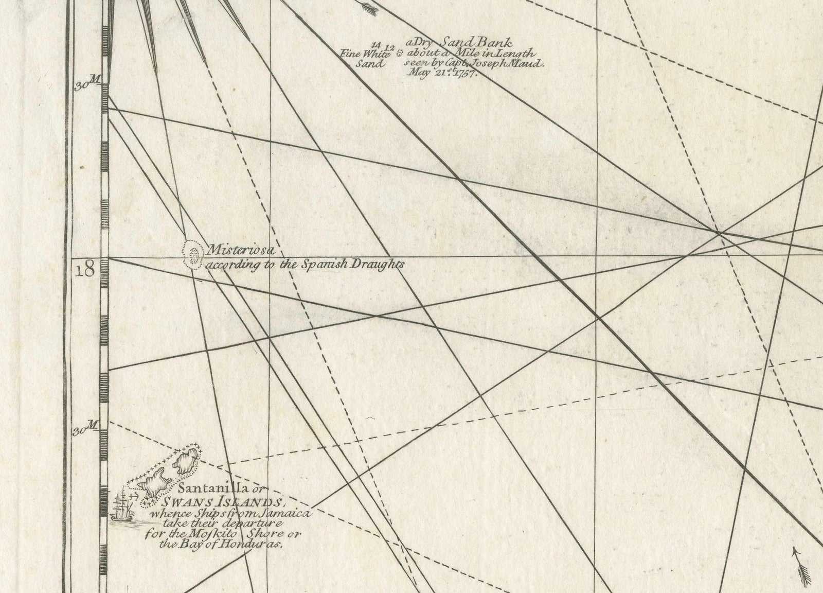
The chart is a navigator's plan rather than a conventional map. Rhumb lines radiate across the open sea from two compass roses in the upper corners, and the longitude is marked west from London along the border. Jamaica fills the upper right and is lettered across the island, with Pedro Bank and its shoals drawn to the south. Serranilla Bank and other reefs and cays mark the middle of the sheet, and a few ships are drawn on the water.
At the lower left the chart takes in the Mosquito Coast of Central America around Cape Gracias a Dios, with rivers, lagoons and settlements engraved along the shore. The old description adds that the chart marks the area held by the Mosquito King's party, a reminder of the British presence on this coast in the eighteenth century.
EXPLORE