Close-ups
Framed and on the wall
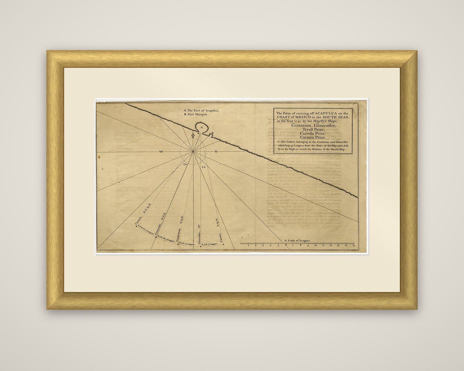
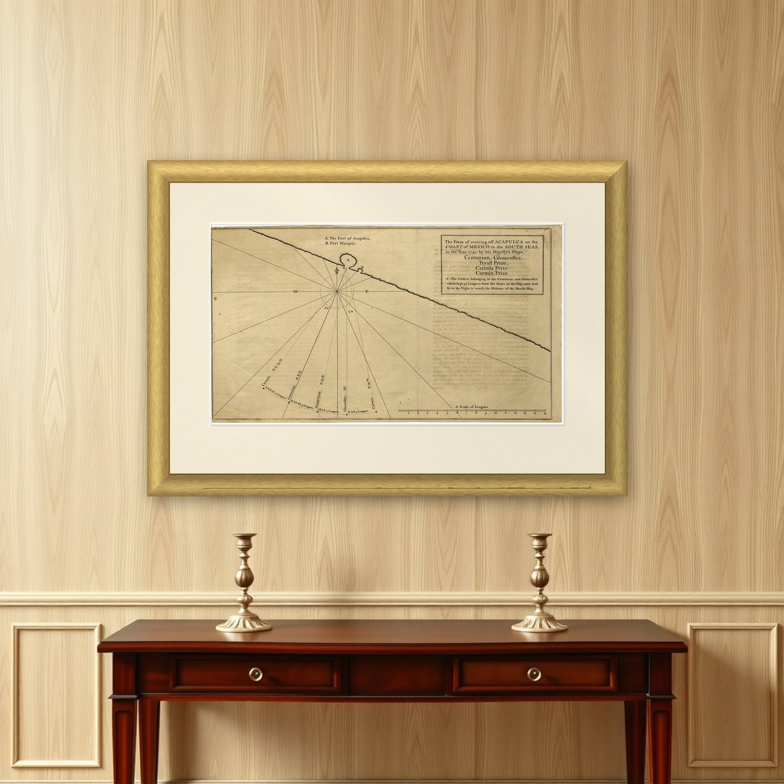
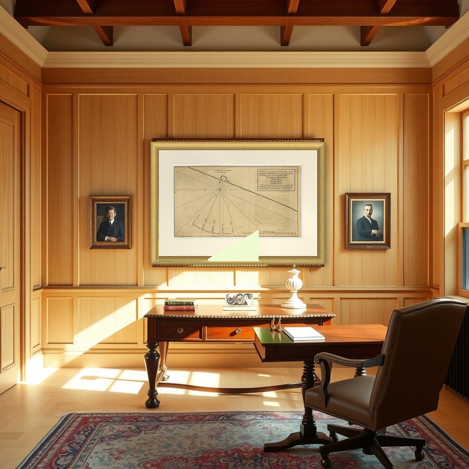
Frame and rooms are illustrations of how the piece could look; it is sold unframed unless the description says otherwise.
Navigational Chart of Mexico's Coast, with Acapulco and Port Marquis, 1748
$155
€140 · £120
Original print, not a reproduction.
Ships worldwide from the Netherlands, flat, insured and tracked. 14-day returns. To buy, use Ask a question and we will reserve it for you.
- Date
- 1748
- Sheet size
- 9.8 × 17.5 in (24.9 × 44.5 cm)
- Condition
- Good. Additions or alterations made to the original: Minimal paper separation in the lower edge of the folds (backed with acid-free archival tape). General age-related toning and/or occasional minor defects from handling. Please study scan carefully. Wear consistent with age and use. Original folds, as issued. Offsetting from letterpress text on the opposite page in the book. Small stains in the left edge of the image. Soiling in the top right corner. A faint dampstain in the top left image corner. Creasing in the right margin.
- Collection
- Voyages of discovery
- Era
- 1700 to 1789, Age of discovery
- Stock no.
- f_26922022
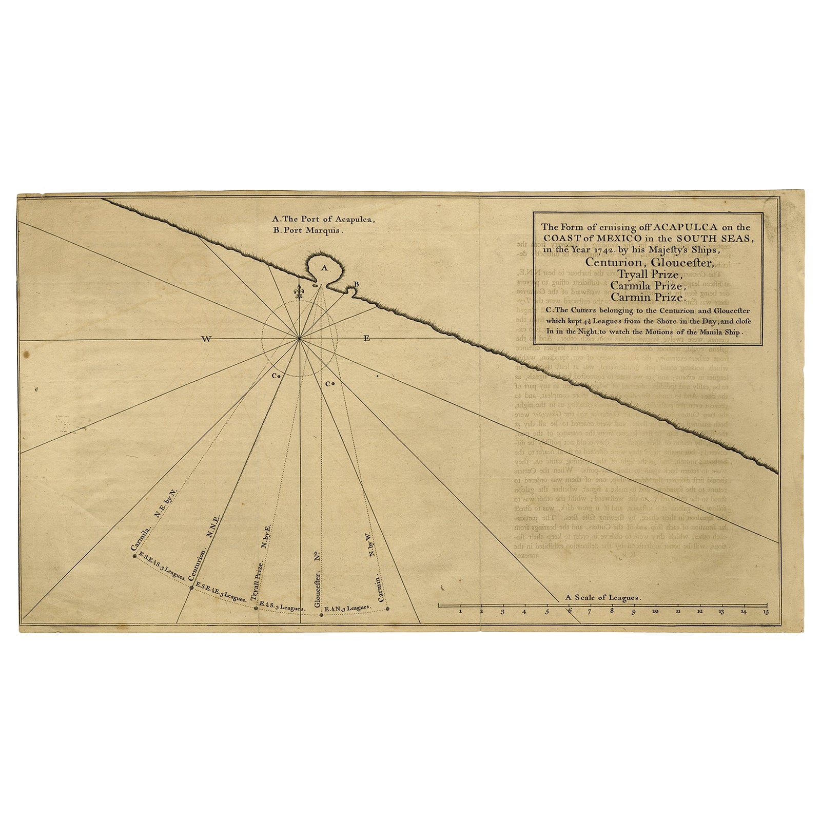
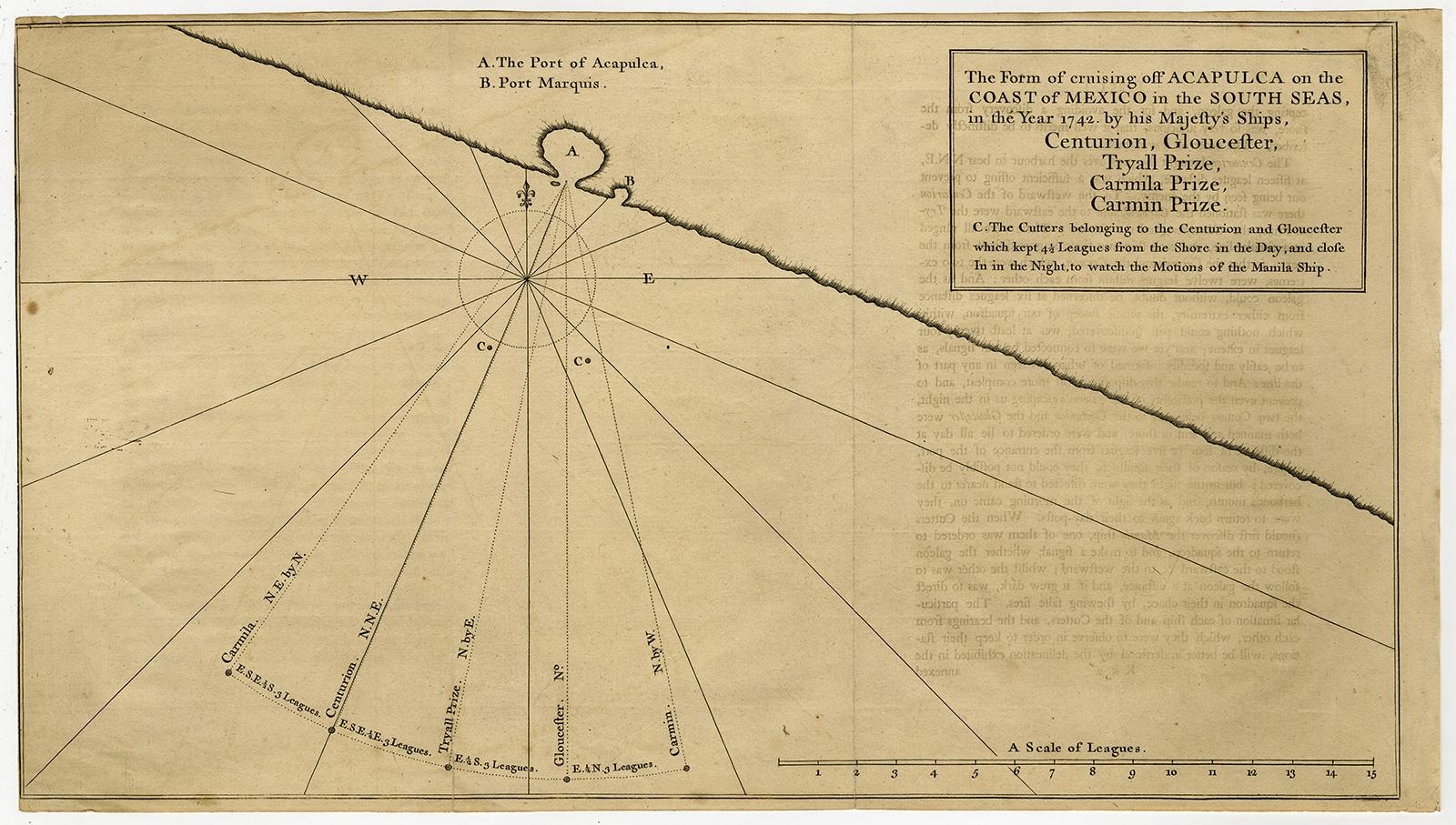
The Form of Cruising off Acapulca on the Coast of Mexico in the South Seas in the Year 1742, an original engraved navigational chart from George Anson's A Voyage round the World in the Years MDCCXL, I, II, III, IV, published in London by J. and P. Knapton in 1748. A title block at the upper right names His Majesty's ships Centurion, Gloucester, Tryall Prize, Carmila Prize and Carmin Prize.
The coast of Mexico is shown as a heavy diagonal line crossing the upper half of the sheet, with the port of Acapulca marked A and Port Marquis (Puerto Marqués) marked B at a small inlet. Lines radiating from the harbor mouth give the stations of the ships, each labeled with its bearing and its distance in leagues, from three to five leagues off shore, and two cutters marked C lie close to the land, keeping watch at night to observe the movements of the Manila ship. A scale of leagues runs along the lower right.
Anson led a British squadron to the Pacific coast of the Spanish empire during the war with Spain, which began in 1740. Of a crew of about 960, fewer than 350 survived. The voyage ended with the capture of the Manila galleon, and the official account was compiled by Richard Walter.
EXPLORE