Close-ups
Framed and on the wall
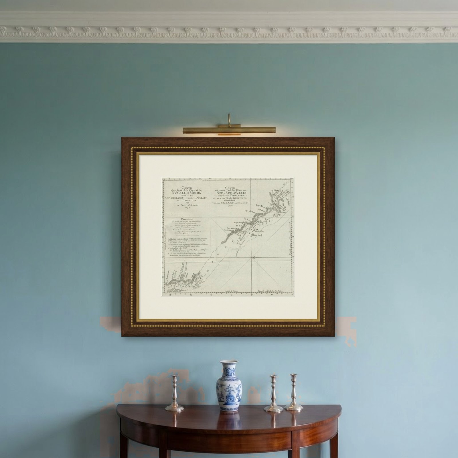
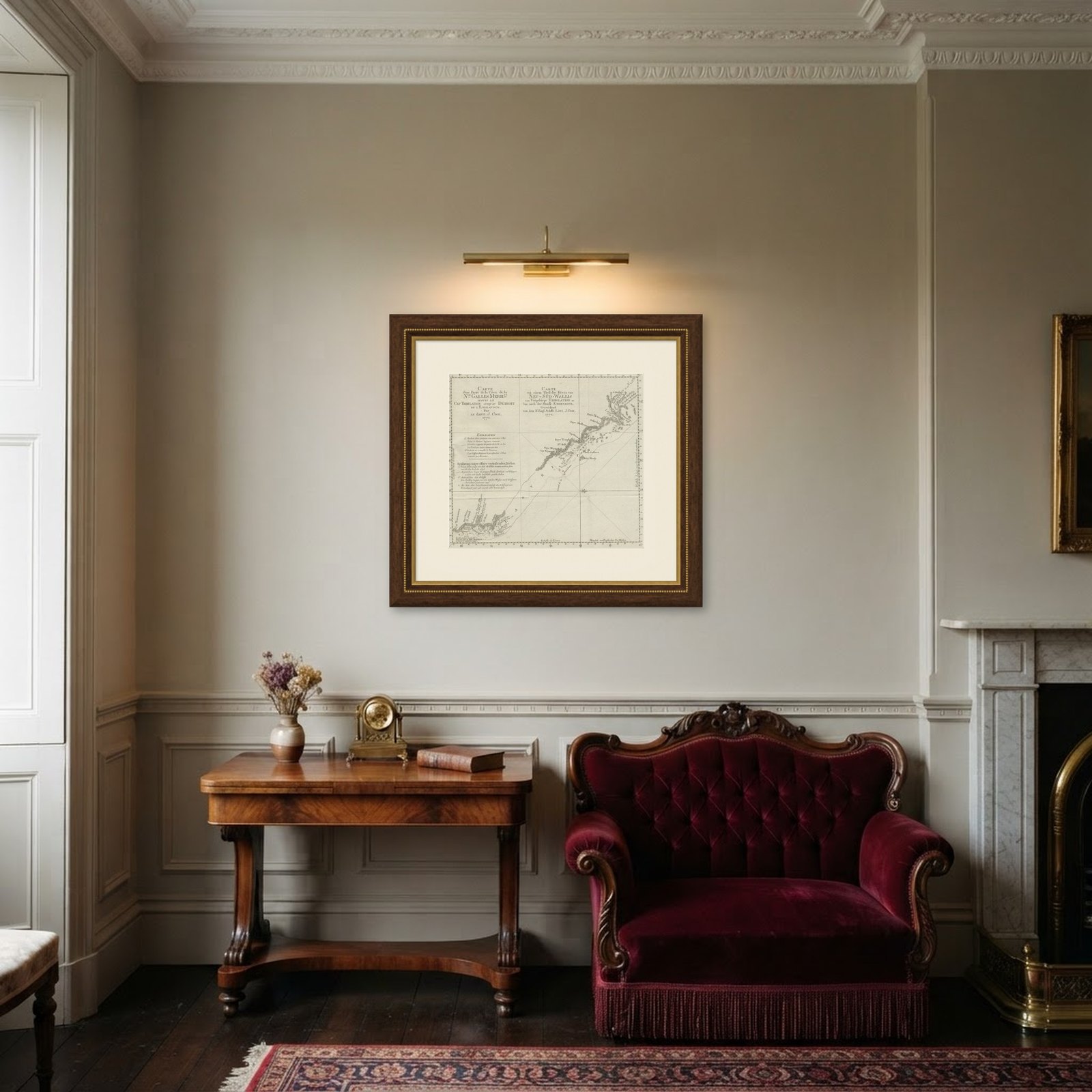
Frame and rooms are illustrations of how the piece could look; it is sold unframed unless the description says otherwise.
Old Chart of the North-Eastern Coast of Australia Discovered by Cook, 1774
$850
€760 · £645
Original print, not a reproduction.
Ships worldwide from the Netherlands, flat, insured and tracked. 14-day returns.
- Date
- 1774
- Sheet size
- 13.2 × 15.9 in (33.5 × 40.5 cm)
- Condition
- Good. General age-related toning. Defect lower left margin, slightly affecting image. Please study image carefully.
- Collection
- Voyages of discovery
- Era
- 1700 to 1789, Age of discovery
- Stock no.
- f_27258112
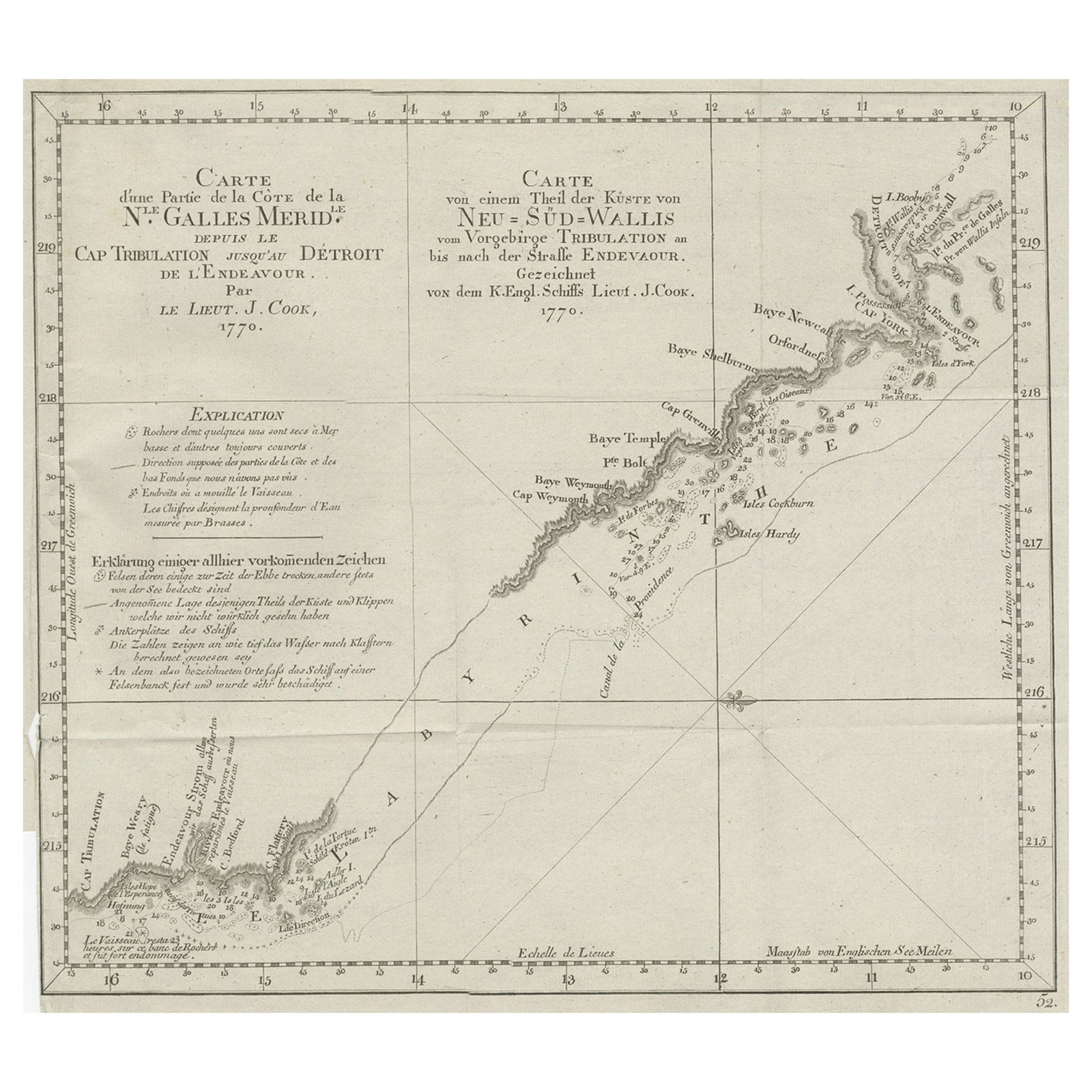
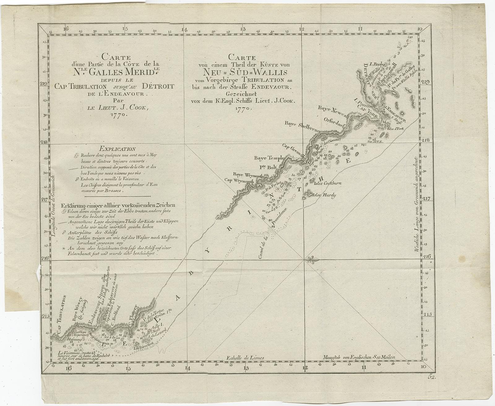
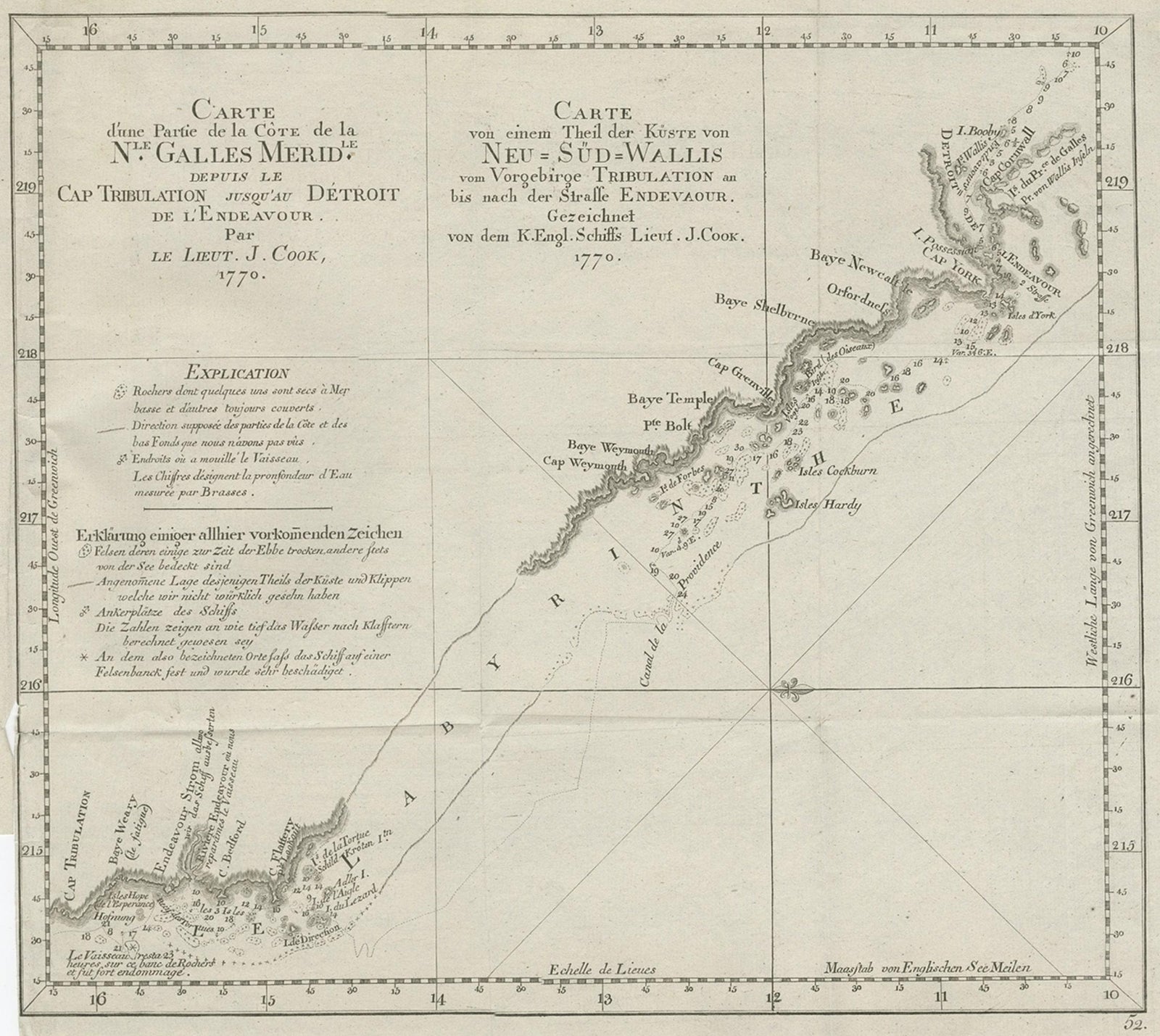
Antique print titled Carte d'une Partie de la Cote de la N.le Galles Merid etc.
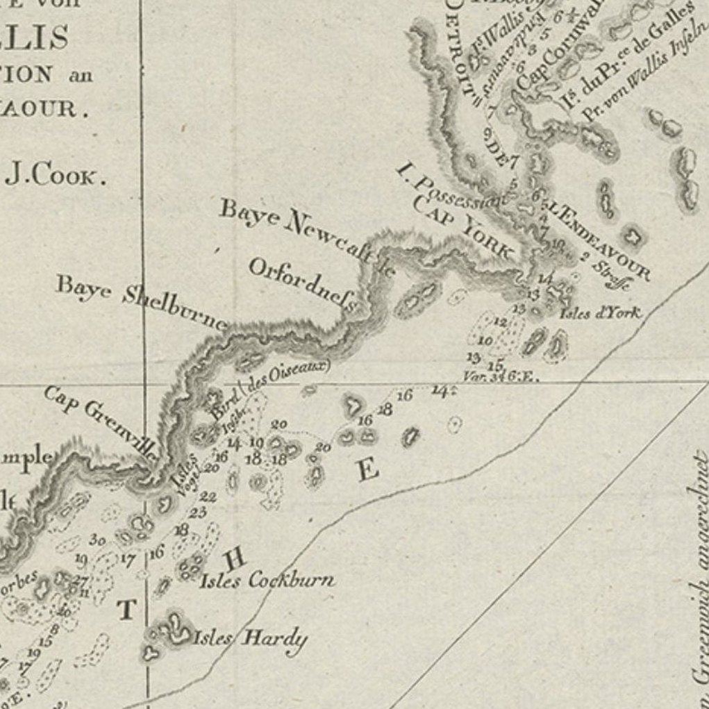
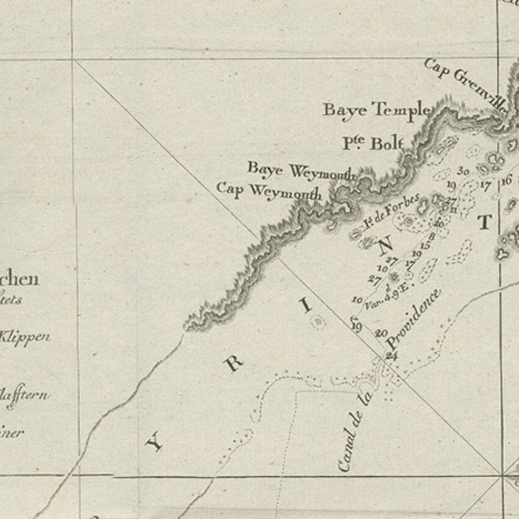
An interesting chart of the north-eastern coast of Australia discovered by Cook in 1770, showing the Endeavour River and the Endeavour Strait, so named by Cook after his ship was careened and repaired on the banks of the river following grounding on a coral reef offshore, the site of present day Cooktown.
Originates from 'Geschichte der See-Reisen und Entdeckungen im Süd-Meer welche auf Befehl Sr. Großbrittanischen Majestät unternommen, und von Commodore Byron, Capitain Wallis, Capitain Carteret und Capitain Coockim Dolphin, der Swallow, und dem Endeavour nach einander ausgeführt worden sind..
Artists and Engravers: Published by Haude & Spener, Berlin.