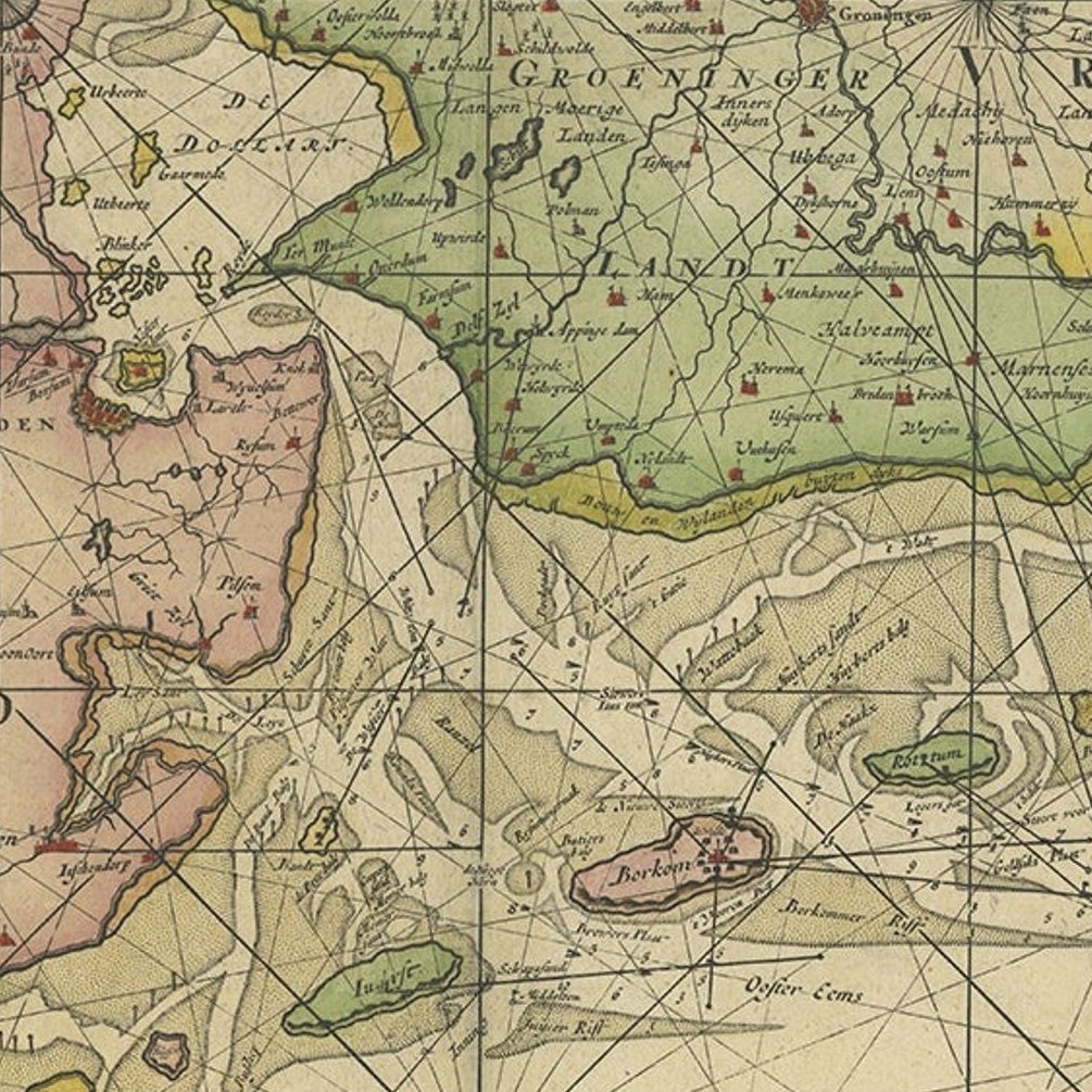
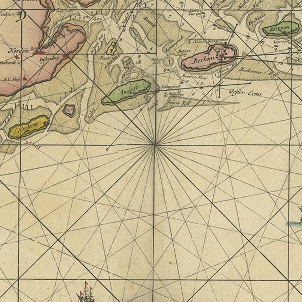
Close-ups
Framed and on the wall
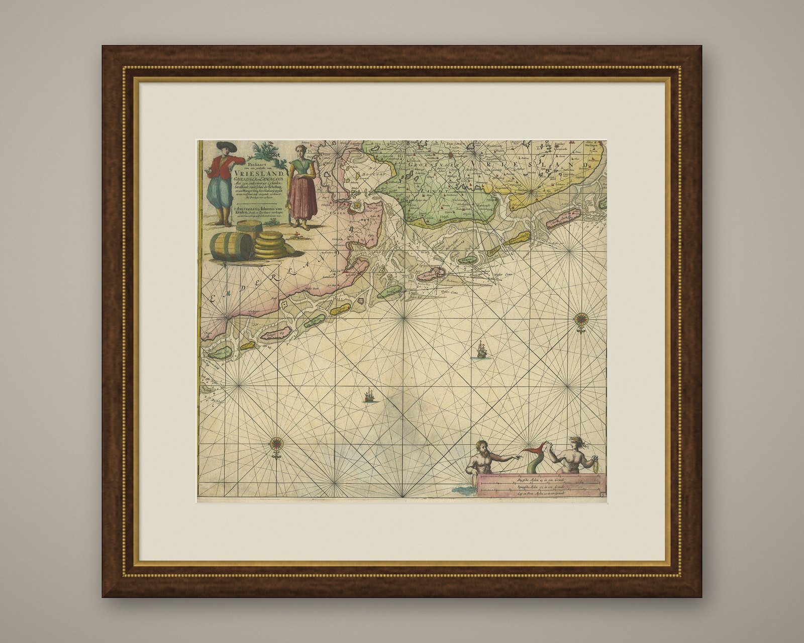
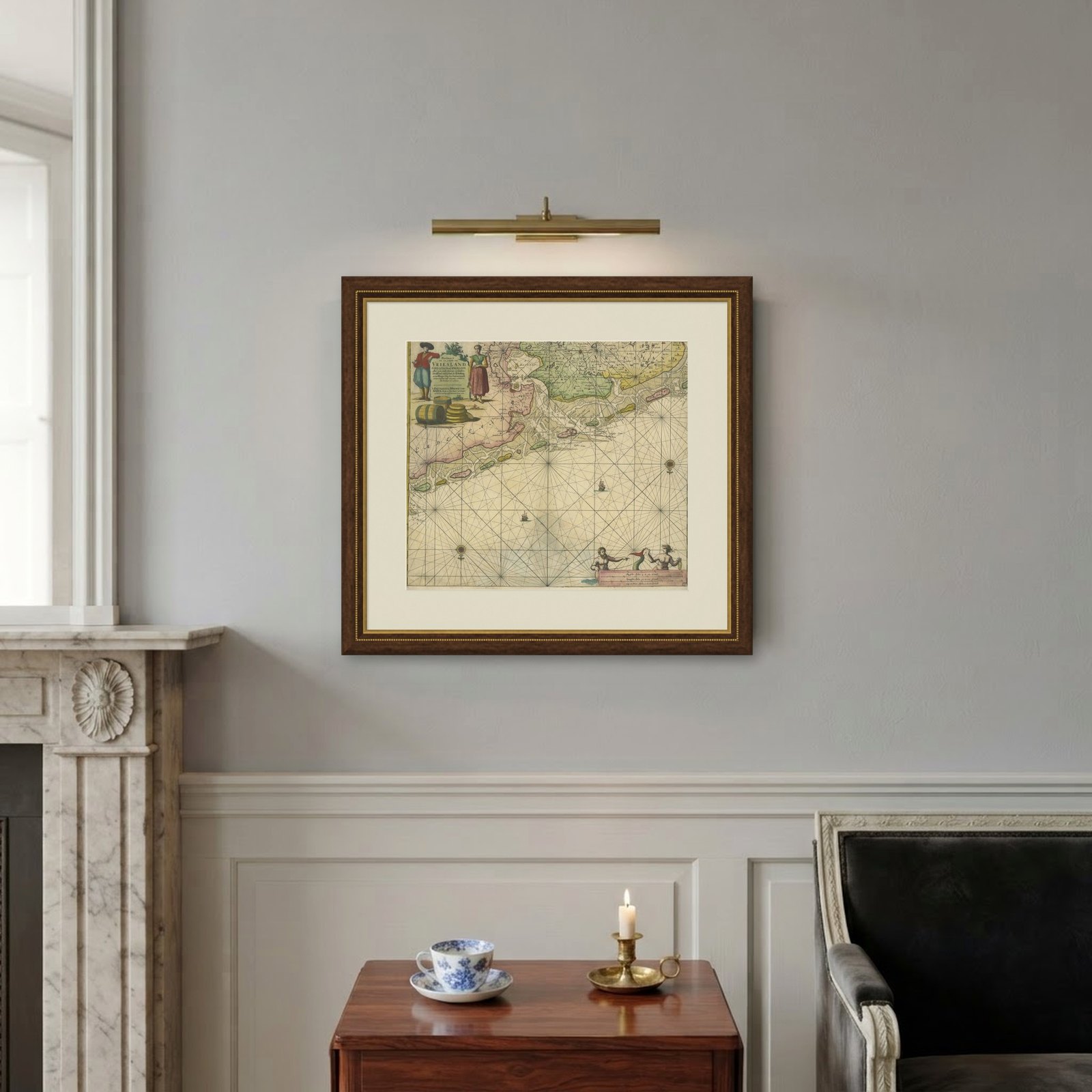
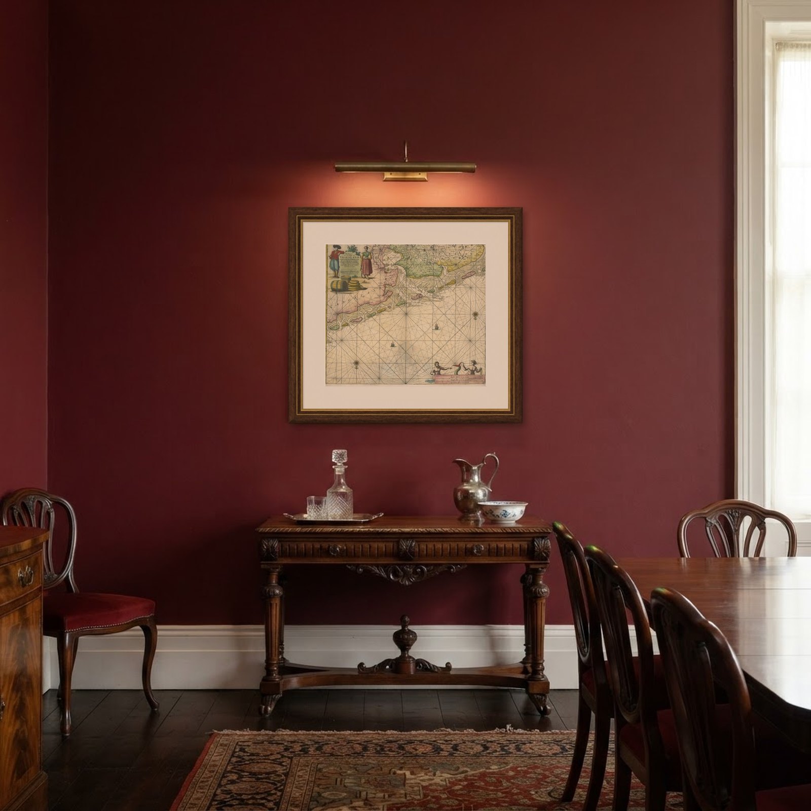
Frame and rooms are illustrations of how the piece could look; it is sold unframed unless the description says otherwise.
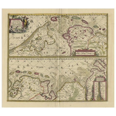
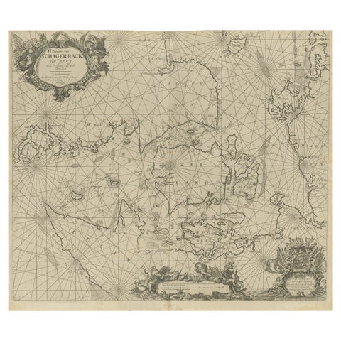
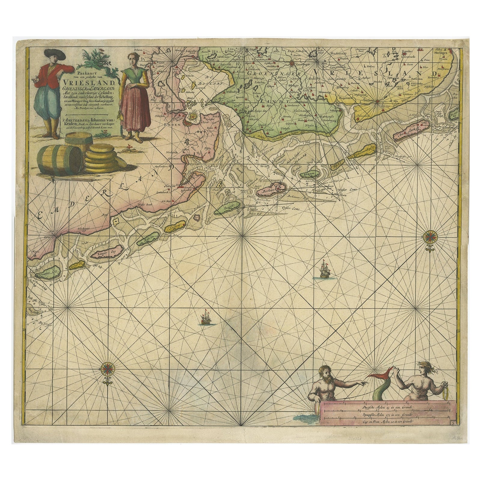
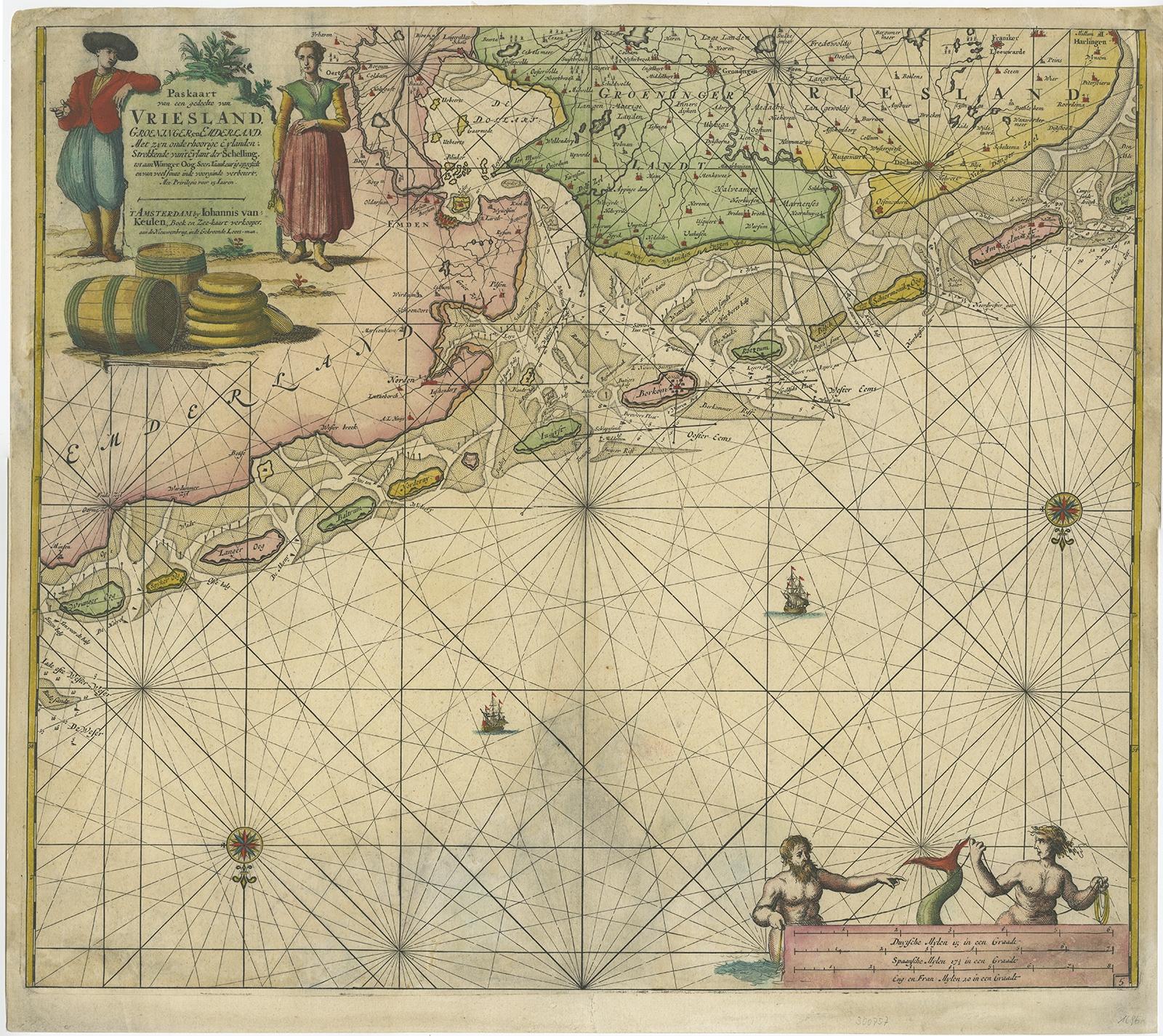
Old Decorative & Highly Detailed Sea Chart of the North Dutch-German Coast, 1681
$1,850
€1,650 · £1,400
Original print, not a reproduction.
Ships worldwide from the Netherlands, flat, insured and tracked. 14-day returns. To buy, use Ask a question and we will reserve it for you.
- Date
- 1681
- Sheet size
- 21.4 × 23.8 in (54.3 × 60.5 cm)
- Condition
- Fair. Minor soiling. Several repairs, mainly at the bottom. Small tear in the middle. Please study image carefully.
- Collection
- Sea charts
- Era
- Before 1700, Dutch Golden Age
- Stock no.
- f_26715522
Antique map titled 'Paskaart van een gedeelte van Vriesland, Groeninger, en Emderland. Met zyn onderhoorige Eylanden; Strekkende van't Eylant der Schelling'.
Decorative and highly detailed sea chart of part of the Dutch Coast, centered on Emden, the mouth of the river Ems and some offshore islands Wangerode, Nordernei, Borkum, Ameland, Schiermonnikoog. Van Keulen's fine chart locates anchorages, shoals, soundings and nany other deails and place names mostly along the coast of the North Sea. Includes a striking cartouche and other embellishment.
Artists and Engravers: Johannes van Keulen (1654, Deventer, 1715, Amsterdam) was a 17th-century Dutch cartographer. He published the influential nautical atlas the Zee-Atlas and the pilot guide Zee-Fakkel (meaning Sea-Torch in English).
Condition: Fair. Minor soiling. Several repairs, mainly at the bottom. Small tear in the middle. Please study image carefully.