Close-ups
Framed and on the wall
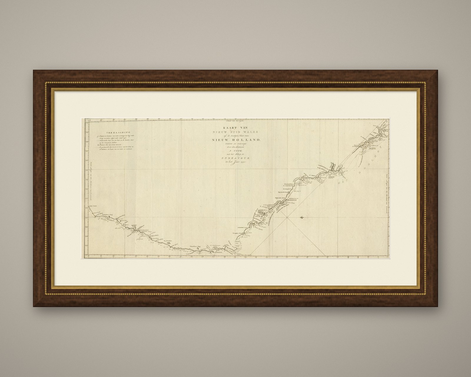
Frame and rooms are illustrations of how the piece could look; it is sold unframed unless the description says otherwise.
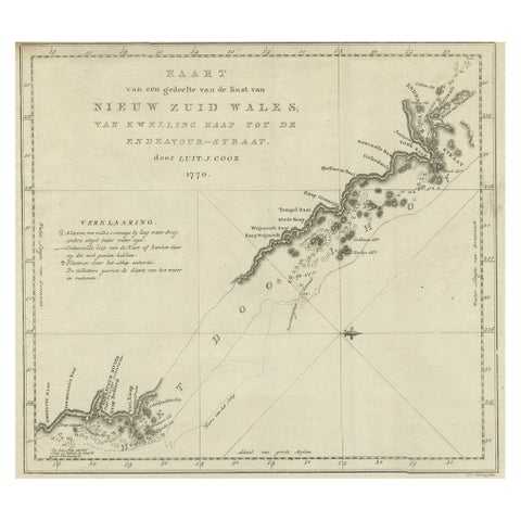
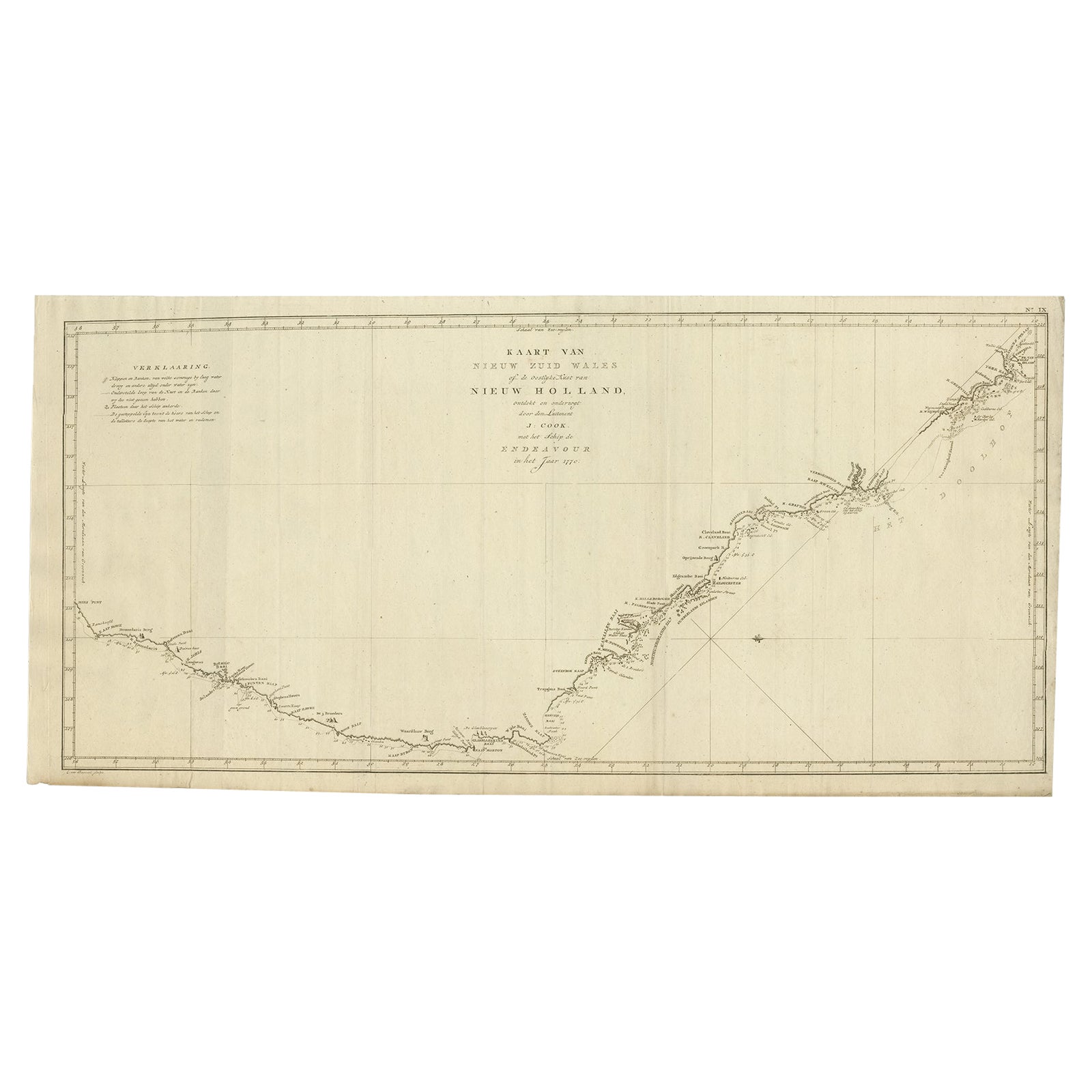
Old Map of Cook's Discovery and Charting of the East Coast of Australia, 1803
€1,750
$1,960 · £1,485
Original print, not a reproduction.
Ships worldwide from the Netherlands, flat, insured and tracked. 14-day returns. To buy, use Ask a question and we will reserve it for you.
- Date
- 1803
- Sheet size
- 15.4 × 31.3 in (39 × 79.5 cm)
- Condition
- Good
- Collection
- Voyages of discovery
- Era
- 1790 to 1849, Age of sail
- Stock no.
- f_26680072
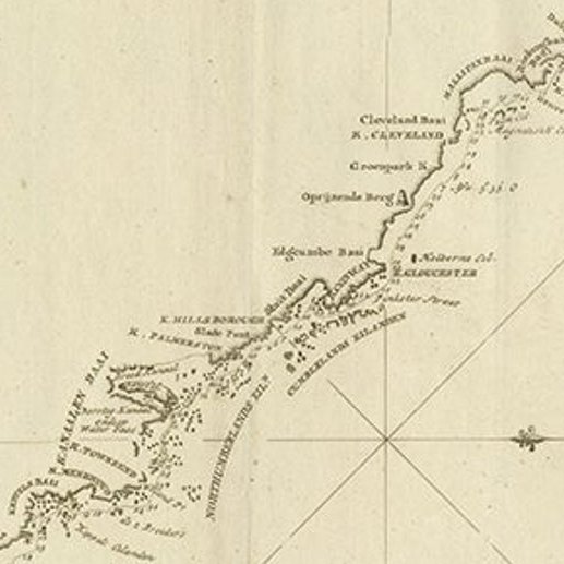
Antique map titled 'Kaart van Nieuw Zuid Wales of de Oostlyke Kust van Nieuw Holland ontdekt en onderzogt door den Luitenant J. Cook met het Schip de Endeavour in het Jaar 1770'.
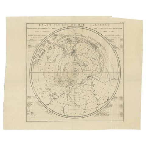
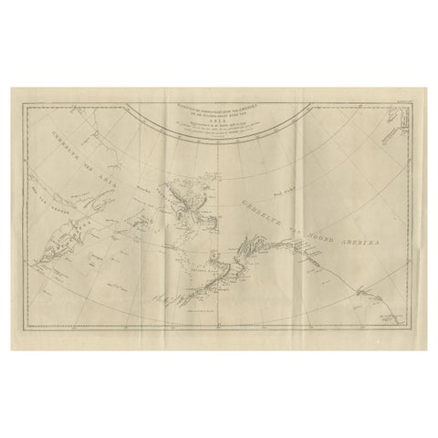
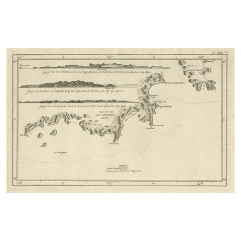
Antique map recording James Cook's discovery and charting of the east coast of Australia on the first of his three voyages around the world between 1768 and 1780. Between April 19 and August 22 in 1770, Cook claimed the land for England and named it New South Wales. Cook's ship Endeavour was damaged when it ran aground on one of the Hope Islands of the Great Barrier Reef. Endeavour was repaired where Cooktown now stands, in the Endeavour River.The unknown southern land (Terra Australis Incognita) was known as New Holland after the Dutch charted the west coast when blown off course during voyages to the Spice Islands (Indonesia). Originates from 'Reizen Rondom de Waereld door James Cook (..)'.
Artists and Engravers: Translated by J.D. Pasteur. Published by Honkoop, Allart en Van Cleef.
Condition: Very good, please study image carefully.