Close-ups
Framed and on the wall
Frame and rooms are illustrations of how the piece could look; it is sold unframed unless the description says otherwise.
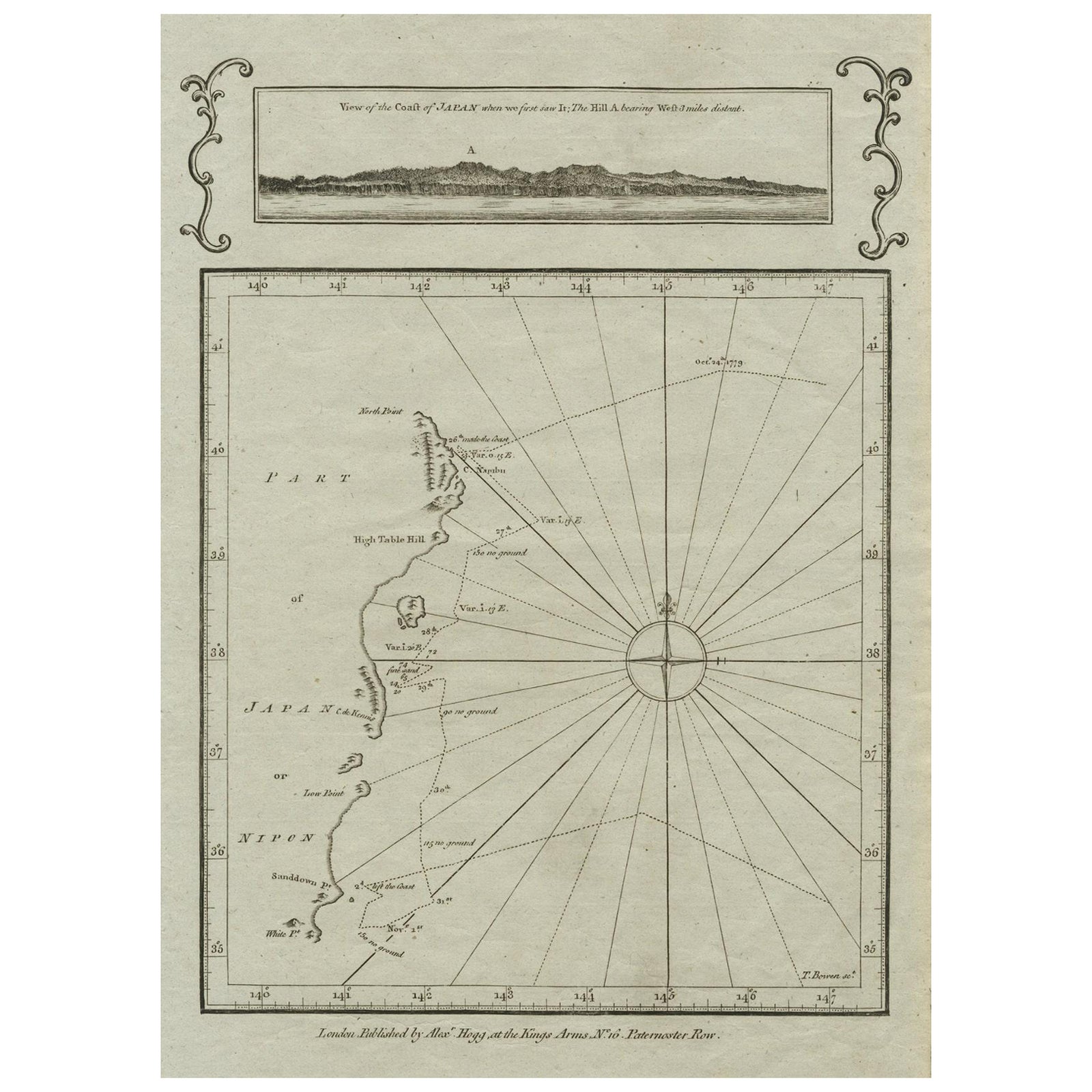
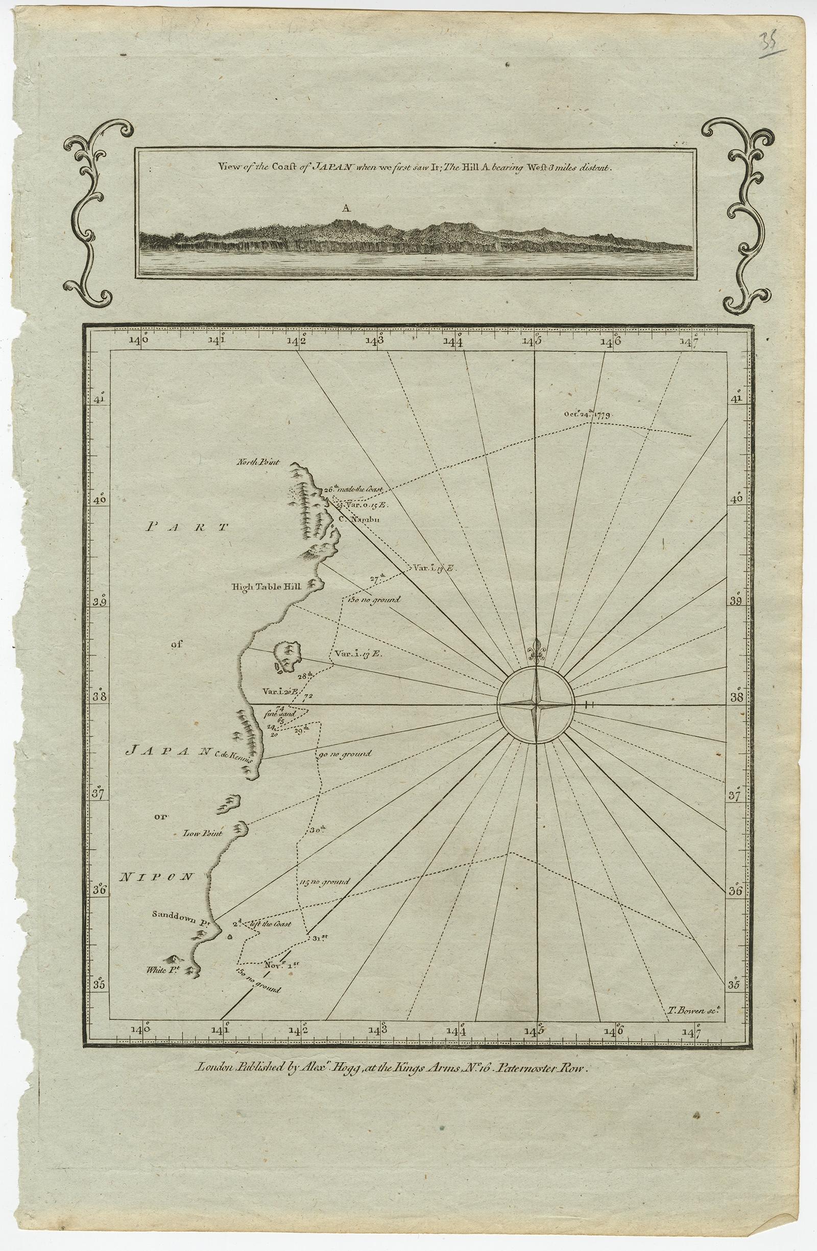
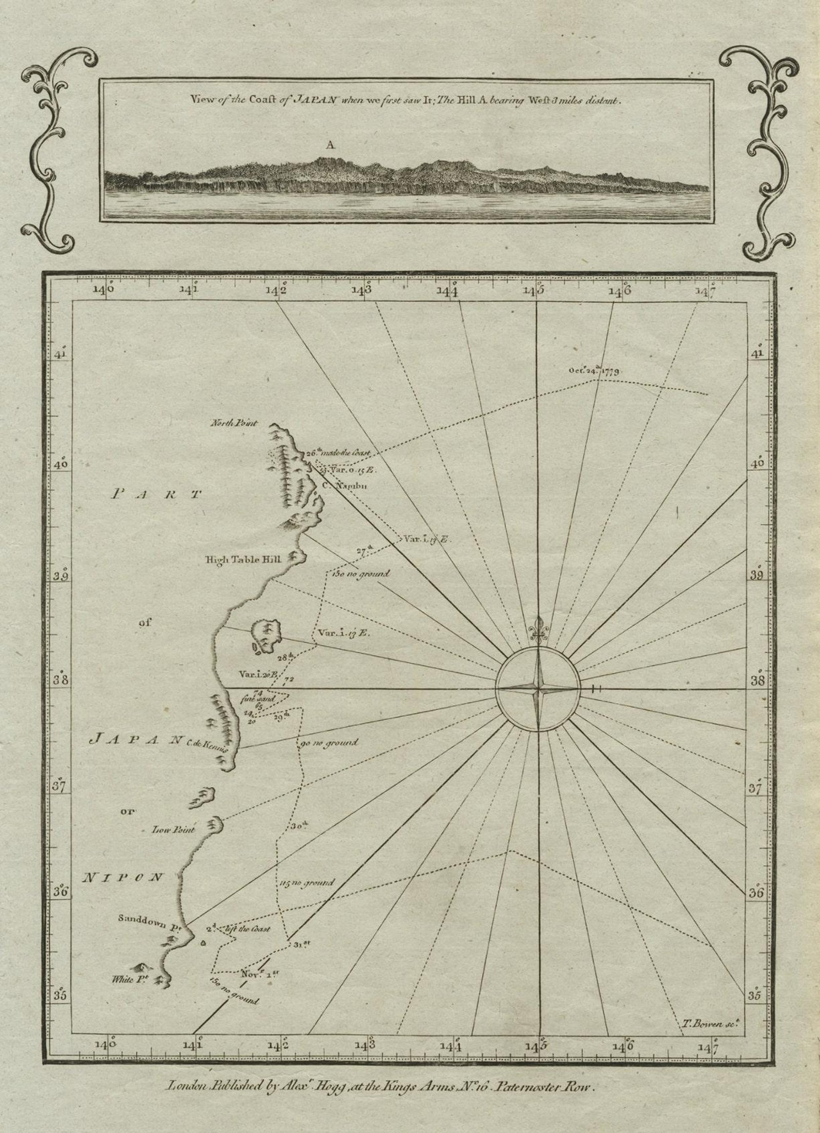
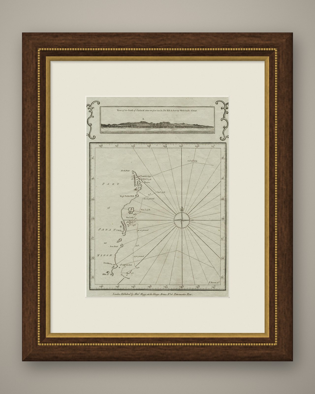
Old Map of the East Coast of Honshu with an Inset, Japan, c.1785
$245
€220 · £185
Original print, not a reproduction.
Ships worldwide from the Netherlands, flat, insured and tracked. 14-day returns.
- Date
- 1785
- Sheet size
- 15.2 × 9.8 in (38.7 × 25 cm)
- Condition
- Good. Given age. Original folds, as issued. Some age related toning. Please study scan carefully.
- Collection
- Sea charts
- Era
- 1700 to 1789, Age of discovery
- Stock no.
- f_27512522
Antique map titled ‘Part of Japan or Nippon'.
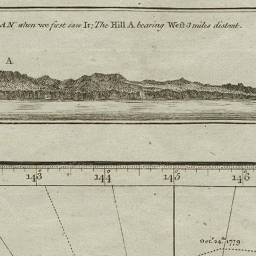
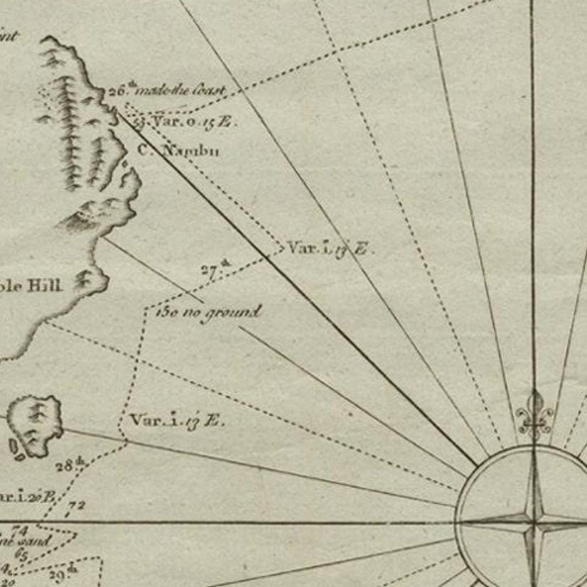
View of the Coast of Japan when we first saw it: The Hill a bearing West 3 miles distant. London Published by Allexer Hogg at the Kings Arms No. 10 Paternoster Row’. A copper engraved, uncolored map small section of the east coast of Honshu, with an inset projection of the coastline as seen by the James Cook voyage.
Artists and Engravers: Engraver: Thomas Bowen (1732-1790) Publisher: Alexander Hogg.
EXPLORE