Close-ups
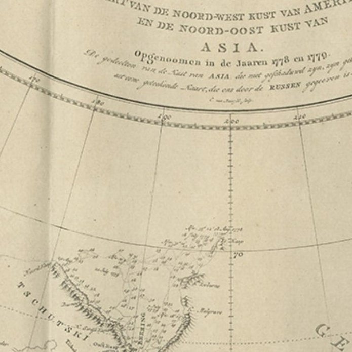
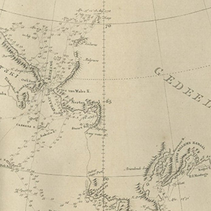
Framed and on the wall
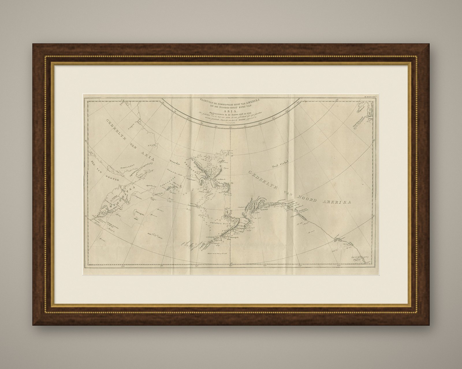
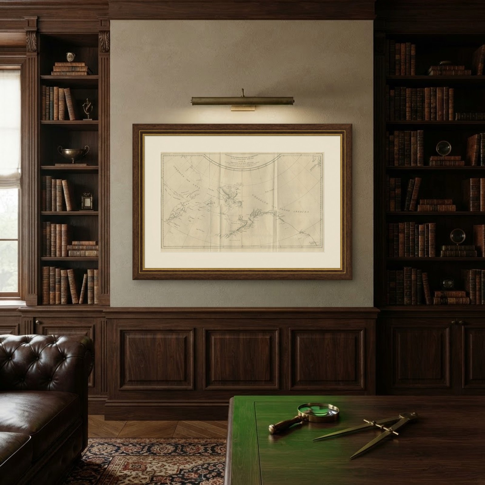

Frame and rooms are illustrations of how the piece could look; it is sold unframed unless the description says otherwise.
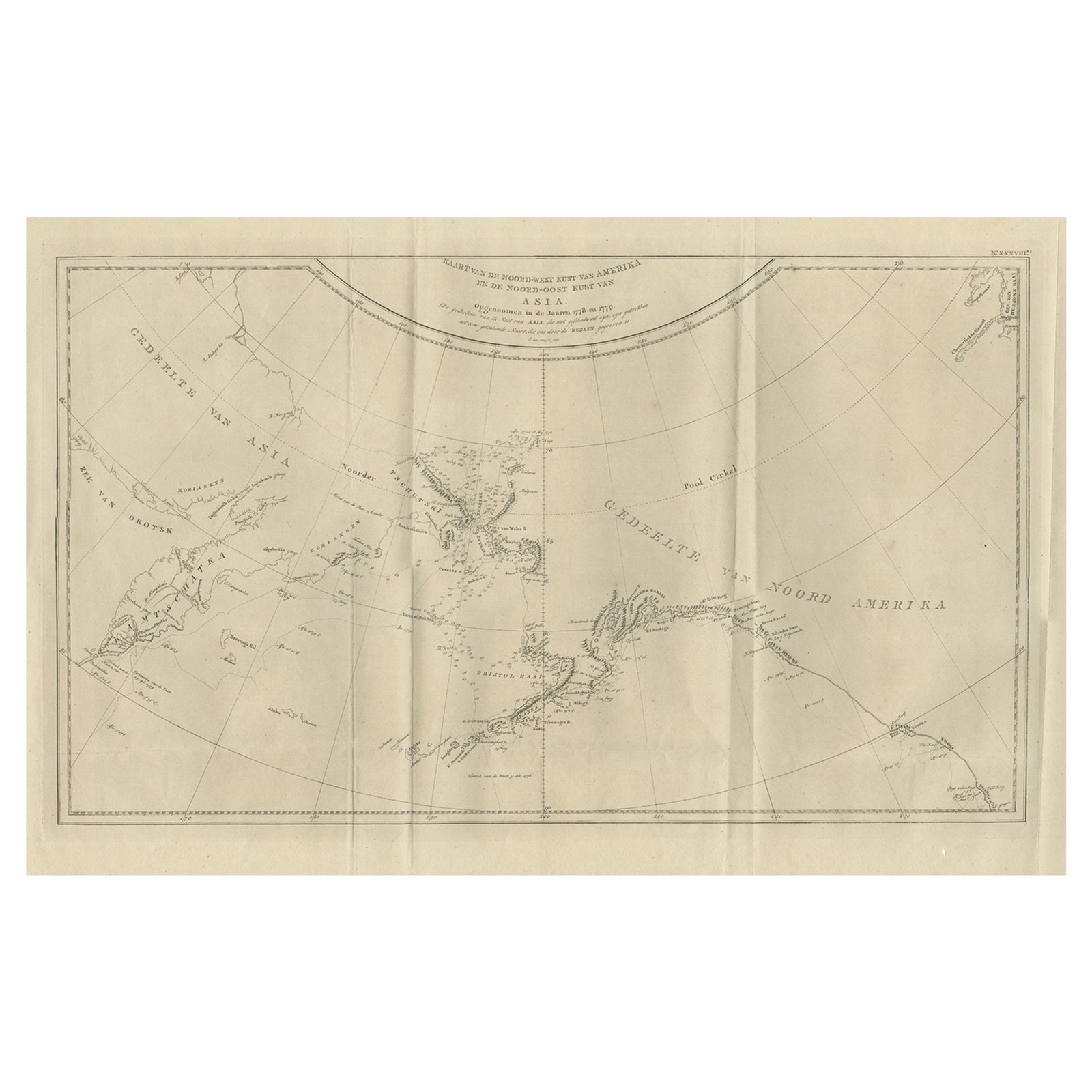
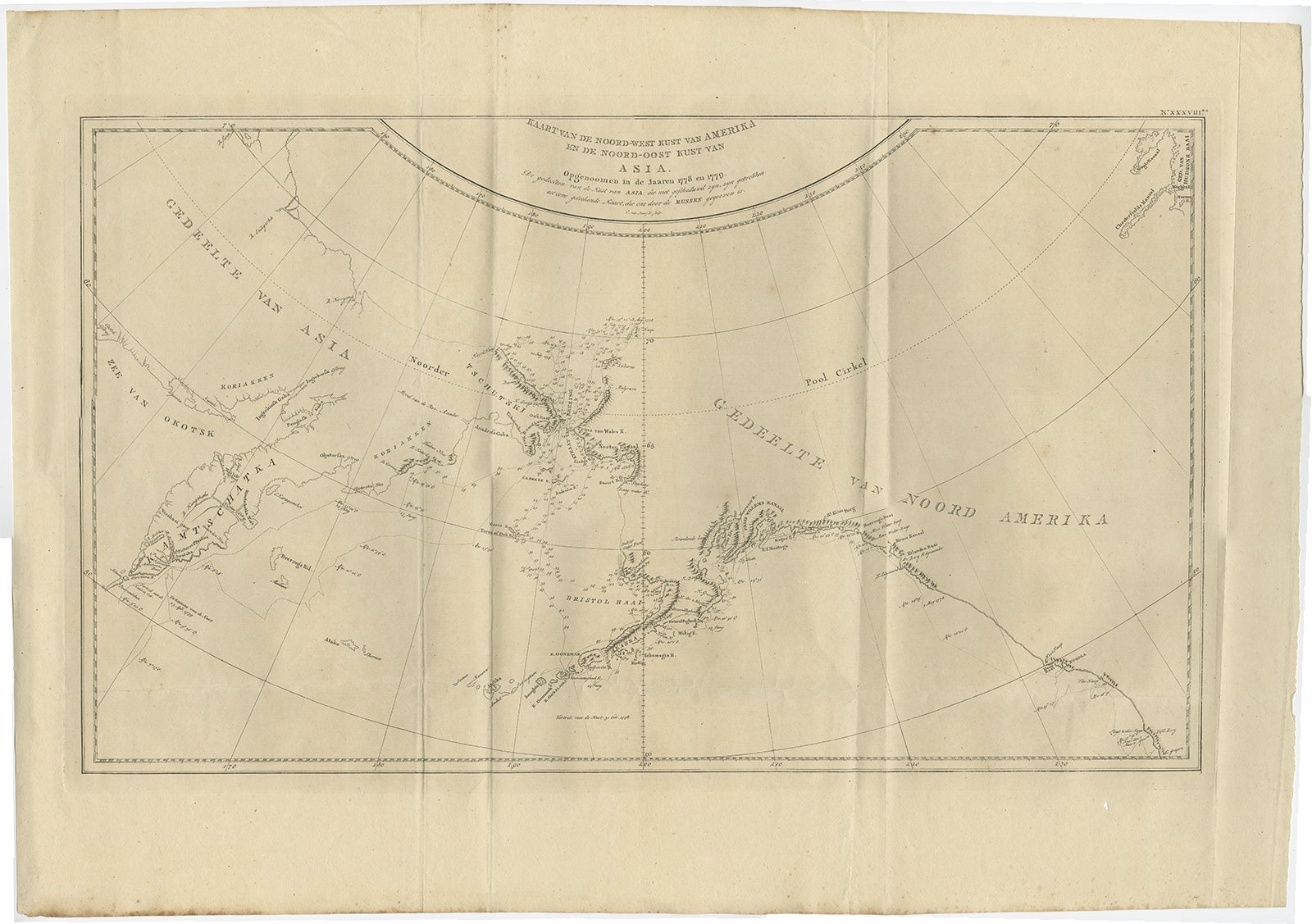
Old Map Showing the Tracks of Cook Between North America and Asia's Coast, 1803
$1,065
€950 · £805
Original print, not a reproduction.
Ships worldwide from the Netherlands, flat, insured and tracked. 14-day returns.
- Date
- 1803
- Sheet size
- 20.9 × 29.1 in (53 × 74 cm)
- Condition
- Good
- Collection
- Voyages of discovery
- Era
- 1790 to 1849, Age of sail
- Stock no.
- f_26436822
Description: Antique map titled 'Kaart van de Noord-West kust van Amerika en de Noord-Oost kust van Asia'.
Antique chart depicting America's northwest coast and Asia's northeast coast. The tracks of the 1778 and 1779 exploration are shown, Cook having done the former and Clerke the latter after Cook's death in Hawaii in Feb. 1779. Originates from 'Reizen Rondom de Waereld door James Cook (..)'.
Artists and Engravers: Translated by J.D. Pasteur. Published by Honkoop, Allart en Van Cleef.
Condition: Good, general age-related toning. Tiny hole outside image border and few vertical folds as issued, please study image carefully.