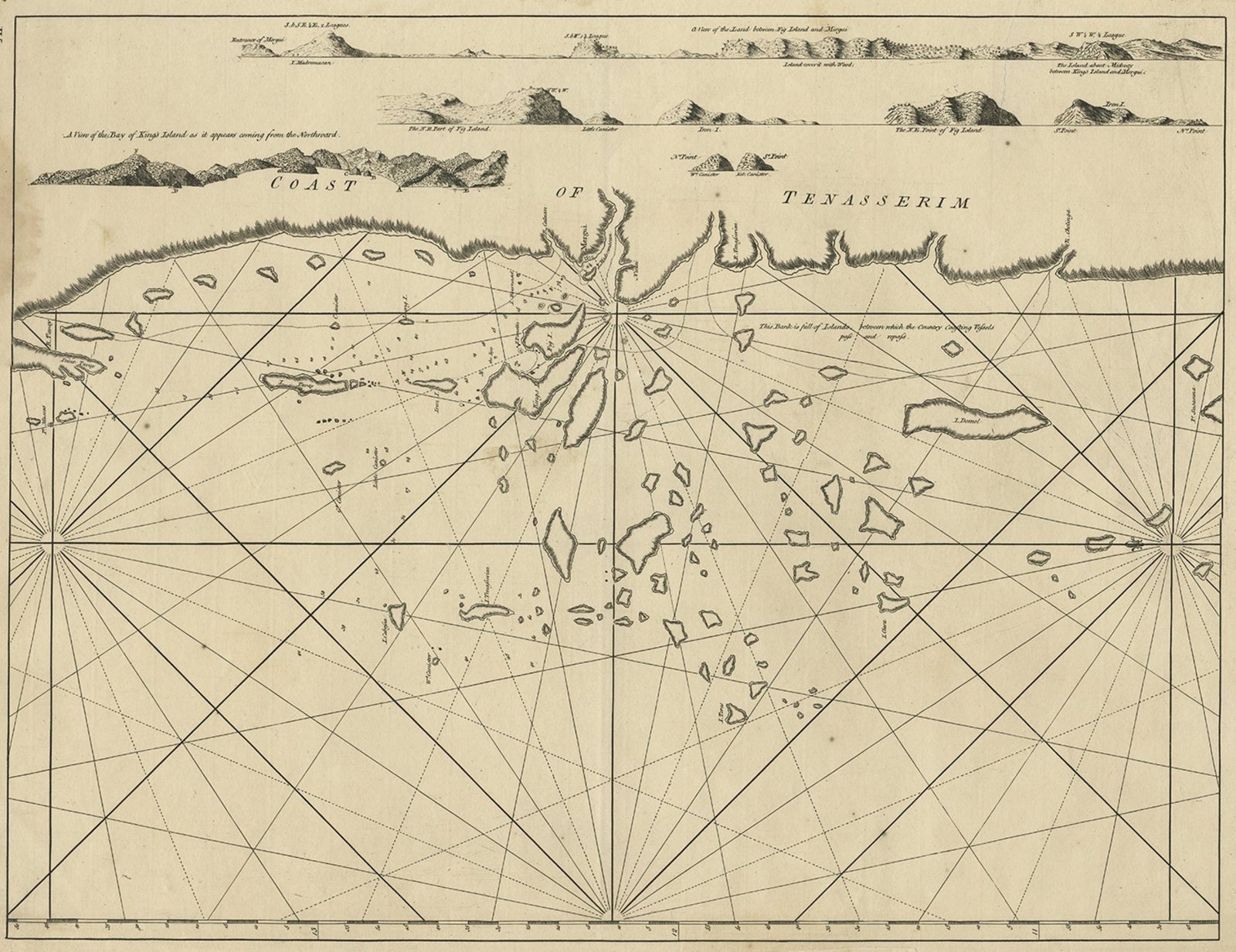
Close-ups
Framed and on the wall
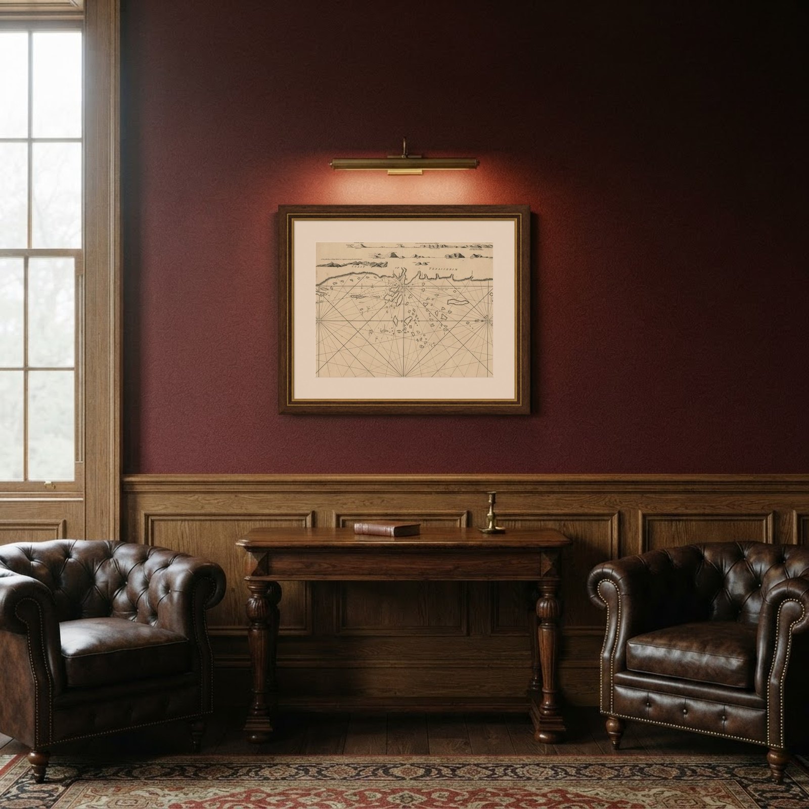
Frame and rooms are illustrations of how the piece could look; it is sold unframed unless the description says otherwise.
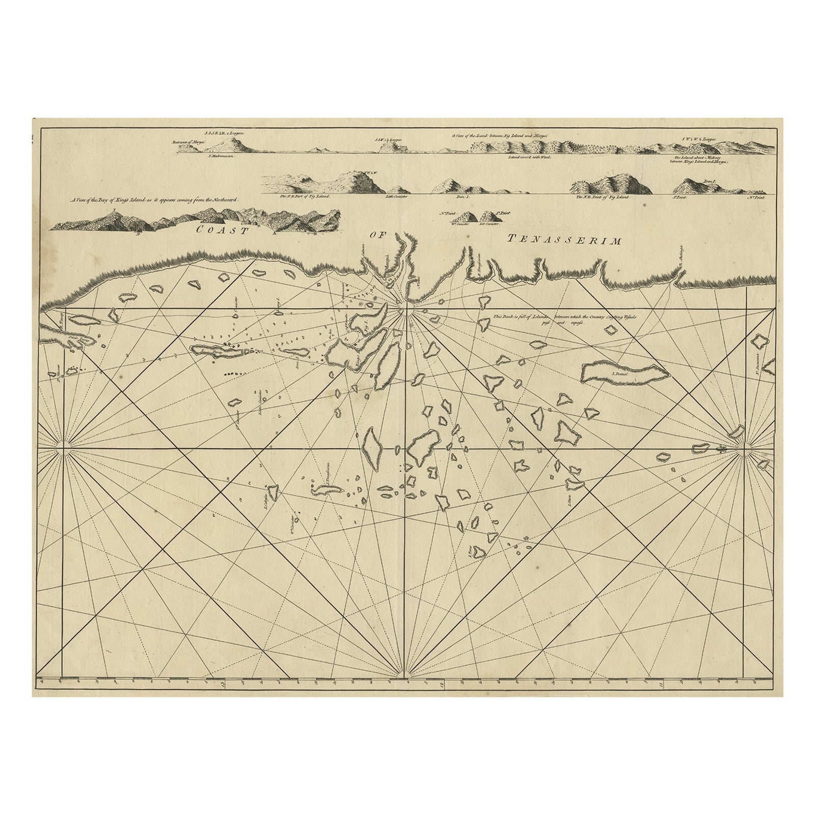
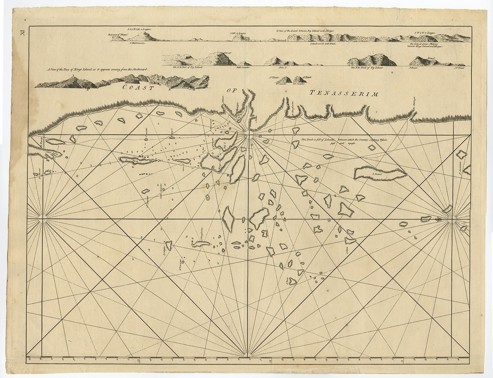
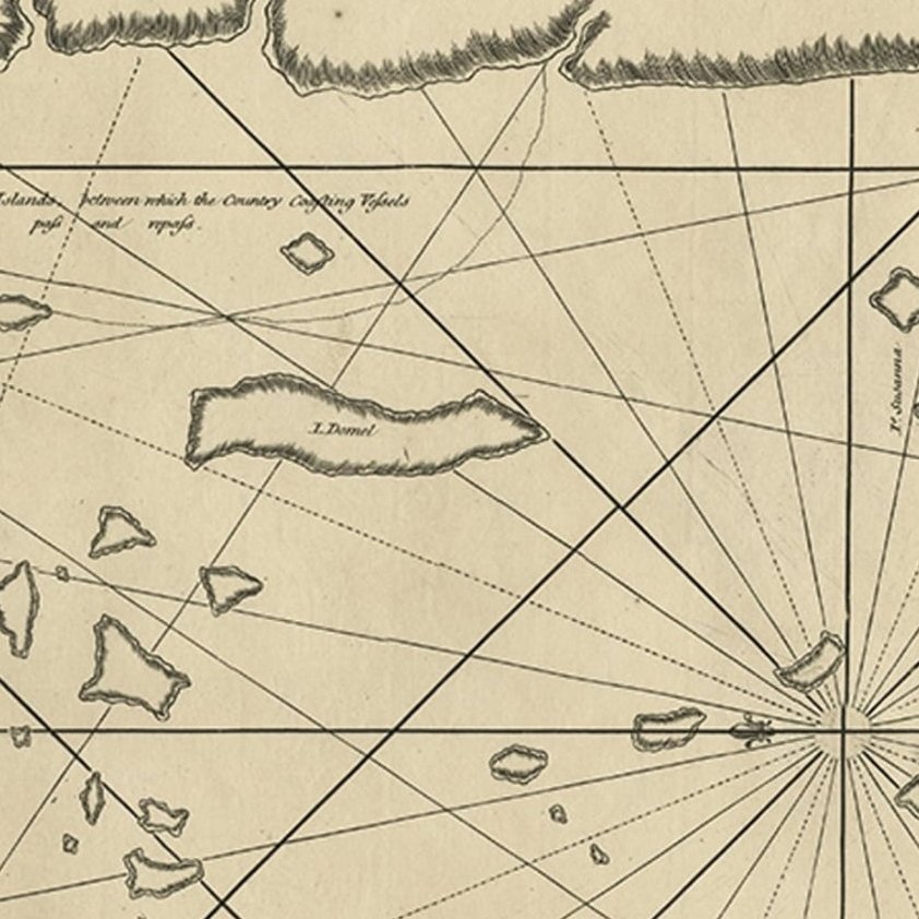
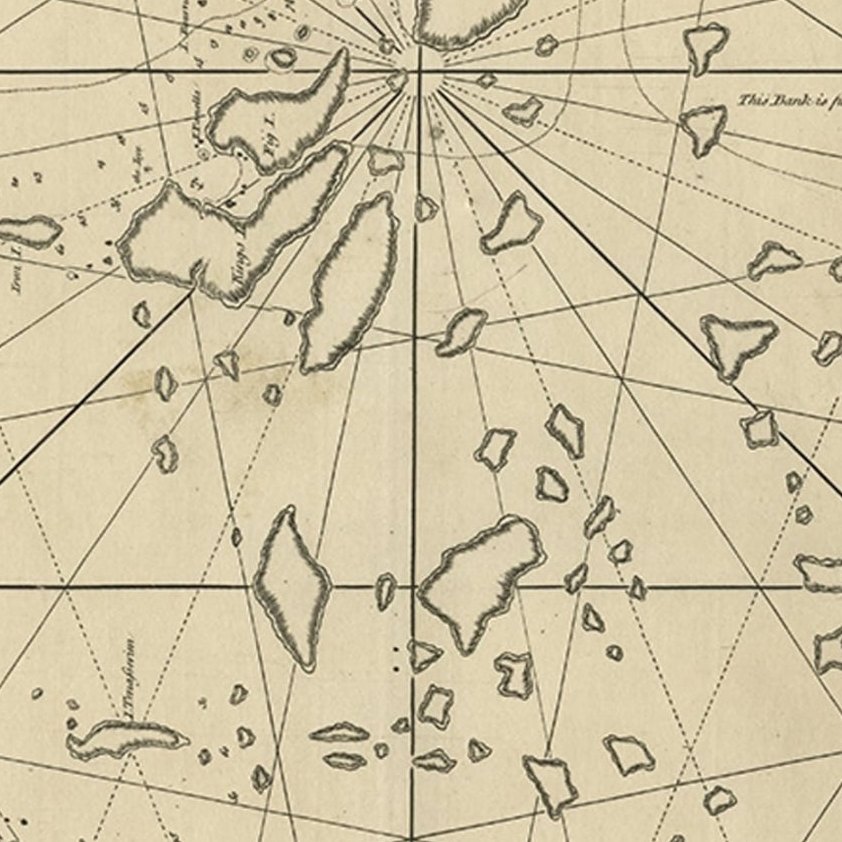
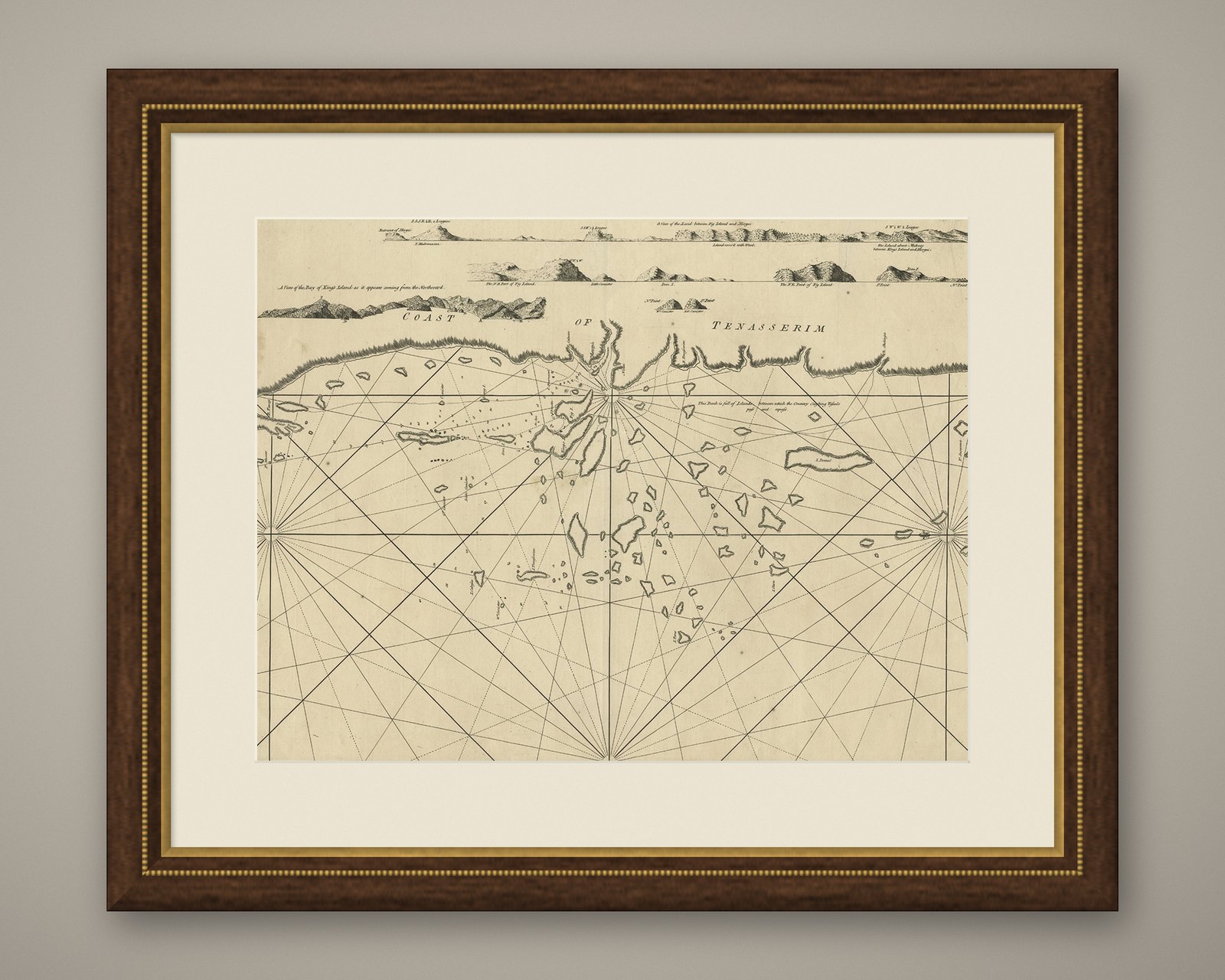
Old Sea Chart of the Tenasserim area, Myanmar 'Burma' in South East Asia, c.1790
$830
€740 · £625
Original print, not a reproduction.
Ships worldwide from the Netherlands, flat, insured and tracked. 14-day returns. To buy, use Ask a question and we will reserve it for you.
- Date
- 1790
- Sheet size
- 18.5 × 24 in (47 × 61 cm)
- Condition
- Good. Given age. Slight paper loss bottom margin; backed. Repaired tear upper right. Damp stain in the left margin, 1 cm into image. A few minor spots. Original middle fold as issued. General age-related toning and/or minor defects.
- Collection
- Sea charts
- Era
- 1790 to 1849, Age of sail
- Stock no.
- f_27309412
Antique map titled 'Coast of Tenasserim.'
Sea chart of the Tenasserim area, Myanmar in South East Asia. Source unknown, to be determined.
Artists and Engravers: Anonymous.
EXPLORE